EE
8:00 h
21km
1020
7
THE HIKE
The excursion leads to the discovery of a relatively lesser-known glacier (compared to the true celebrities such as Roseg or Morteratsch) but equally captivating. The route is quite long (about 10 km — it takes about 4 hours to ascend just 750 meters!!), but interspersed with elements of natural interest: first Lake Cavloc, then the Forno Glacier, and finally the glacial landscape that accompanies us along the spectacular ascent to the Forno Hütte. Considering the walking times and the equipped sections between the glacier and the refuge, the route is recommended for experienced hikers adequately trained.
We take the small road that branches off from the last hairpin bend of the Maloja road by car, and park in the large parking lot (1790 m). We then take the dirt road that leads to Lake Cavloc (you can shorten it a bit by following the trail). Along the way, we encounter Alpe Salecina, a kind of hotel-hostel with a program of cultural events, where each guest pays what they can — between full price, reduced rate, or "solidarity" rate (!).
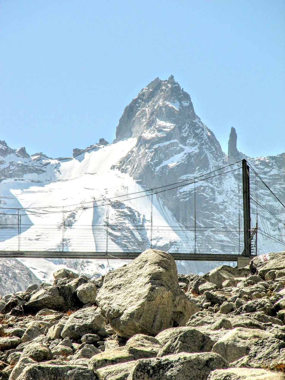
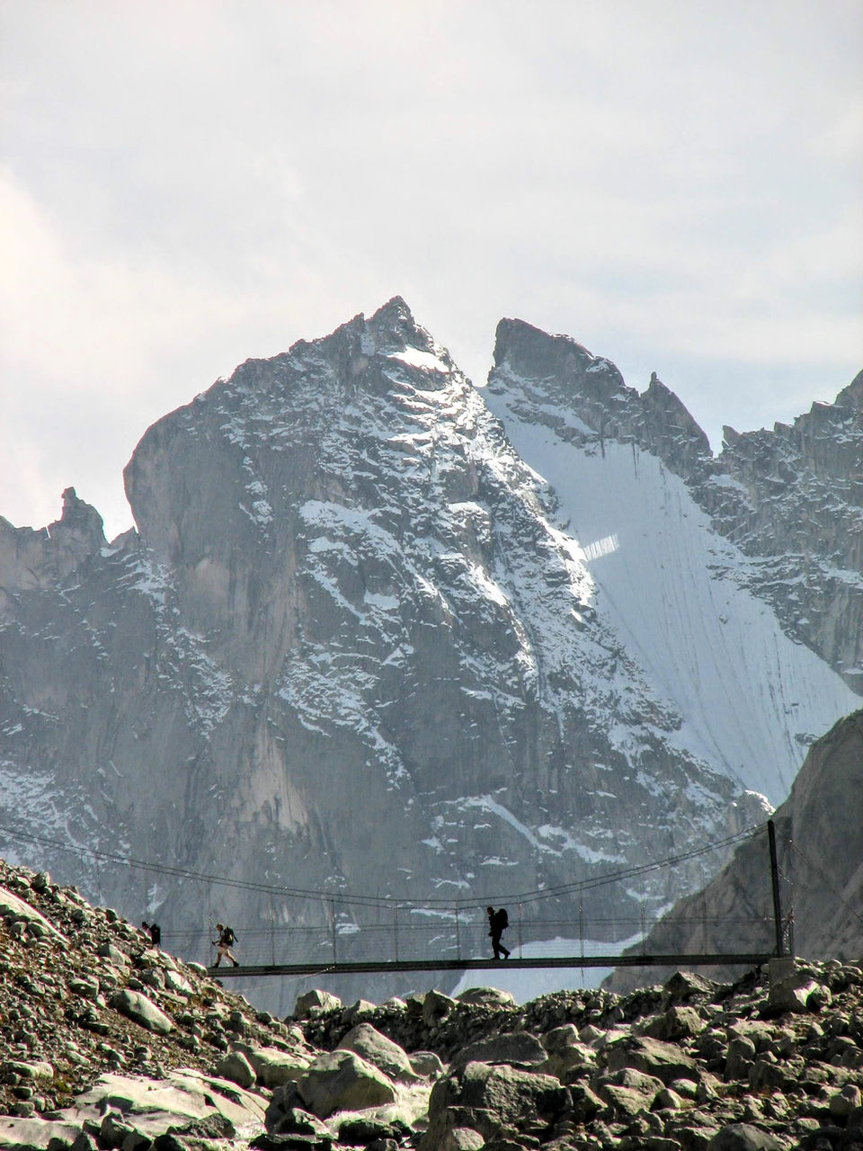
After a mandatory stop at the lake (1907 m, 45 minutes), of fairy-tale beauty, we continue almost flat in the long valley until Plan Canin (1992 m), where we reconnect with the trail that descends from Passo del Muretto, connecting with Chiareggio and Valmalenco. The path becomes monotonous until we reach a new footbridge (2232 m, 1.45 hours), from which we finally see the beautiful Forno Glacier. We reach its front — which until about 2015 had to be "climbed" with the help of ropes.
Among the debris, we reach a vertical ladder where the beautiful trail begins, which with short equipped sections and a bit airy leads to the panoramic terrace of the Forno Hut (2574 m, 1 hour). The Forno Glacier resembles the long glacial tongues of the Himalayas, while the curtain of vertical rock walls of Pizzi Torrone and Cima di Castello, and the sharp pinnacle of Ago del Torrone, make it seem like we are in the presence of Fitz Roy.
For the return journey, you can slightly extend the route by climbing further behind the Forno Hut to a small lake at the foot of Pizzi dei Rossi (2728 m, 45 minutes). From there, we curve towards the Muretto valley and reconnect with the outbound trail near Plan Canin (1992 m, 1.45 hours).
If there is still energy left, at Lake Cavloc (1907 m, 30 minutes) we can stay high in the valley by taking the trail on the left of the lake to walk the Smugglers' Path, with illustrative panels on the smuggling history between Italy and Switzerland between the 19th and 20th centuries (45 minutes).
MAP
EQUIPMENT
The mountains are a dangerous environment: make sure you always have the right equipment — hiking or trail shoes, warm clothes and waterproofs in case of unexpected changes in weather conditions, a small emergency kit.
I've made an Amazon "shopping note" to make sure you have everything — ps if you buy from these links, 3% goes to support the development and maintenance of Hikes of the World 🙏.
-
Breathable t-shirt ( example )
-
Sweatshirt, fleece, or light jacket
-
Waterproof windbreaker (for example: men / women )
-
Gloves and hat (you never know)
-
Backpack with rain cover
-
Trekking poles (not essential, but they help to unload the weight of the backpack and ease the impact on the joints)
-
Trekking or trail running shoes (in great vogue lately because they are lightweight. These Salomon ones - for men and women - are an excellent entry-level, preferably Gore-Tex)
-
For via ferratas: complete via ferrata kit (I have this one , very light and compact, with this harness and helmet — or you can buy complete kits ). Buy in store to receive ad hoc support
-
To sleep a night in a refuge: sheet or light sleeping bag
-
Water bottle or thermos
-
Light crampons if you think you will find ice or snow on the route
-
Power bank or cell phone charger
-
Camera
-
Drone, for those who love to "fly" (used in moderation and at a distance from other people. I have had the DJI Mini 2 for over 2 years and have found myself very happy with it. The DJI Mini 3 also allows you to take vertical photographs)
-
Small emergency kit ( example )
-
Sun cream (essential)
-
Sunglasses


