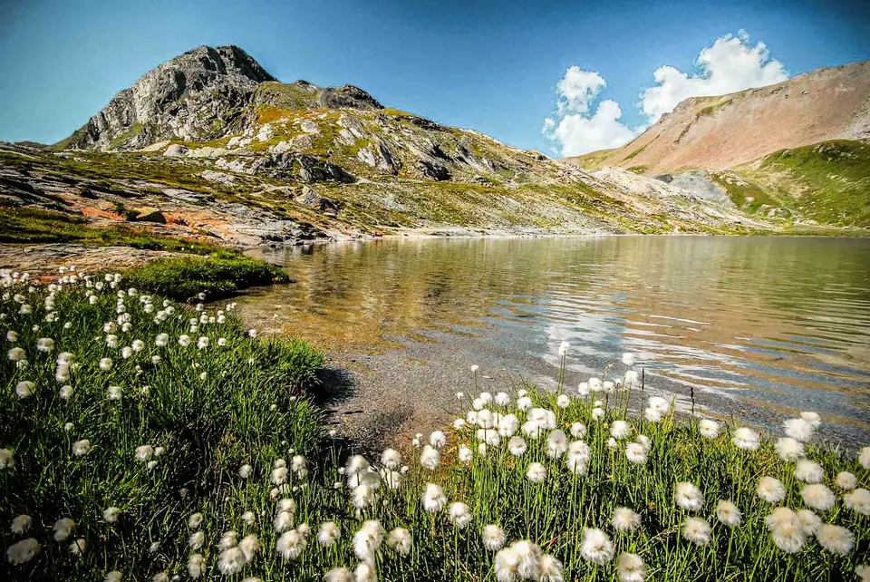
Cotton grass in flower on the shores of Lake Lunghin, in the Engadine, Switzerland. Behind it, Piz Lunghin.
If you ask non-Europeans to place the Alps, there is a fair chance they will say “in Switzerland”. For some reason, perhaps its relentless tourism advertising, or the various Swiss brands associated with the mountains, Switzerland and the Alps are almost the same thing in many people's minds.
It is hard to fault this identification, though, given that of all the countries with a share of the Alps, Switzerland is by many accounts the one that has used it most wisely, with the most respect for the land and for local cultures. And walking in Switzerland, you can see it.
You only need to climb a little and look down into the valley to notice how neatly compact Swiss villages and towns are, surrounded by pastures and woods. Roads and new buildings are kept to a minimum, so that overall the Swiss alpine landscape has an air of near-perfection.
Good to know about Switzerland
In Switzerland the difficulty of a path is written on the signs themselves: yellow waymarks show hiking trails suitable for everyone; white-red-white ones mountain trails, steeper and narrower, with the odd exposed section; white-blue-white ones alpine routes, which may cross snowfields, scree or pathless ground. The Swiss Alpine Club pairs these colours with a scale from T1 to T6, which does not map exactly onto the CAI grades and always assumes favourable conditions. Before setting off it is worth checking the colour of the waymarks as well as our grade, since that is what you will be following all the way.
Wild camping in Switzerland is regulated by the cantons and often by the municipalities, so there is no single rule that applies everywhere. As a general guide the Swiss Alpine Club considers a night above the tree line acceptable, for one night and in small groups, while it is forbidden in nature reserves, wildlife rest areas and hunting ban zones. In the Swiss National Park, where Alp and Munt La Schera lie, the rules are stricter still: you may not leave the marked paths, dogs are not allowed even on a lead and sleeping outdoors is forbidden, so before pitching a tent it is best to ask the local municipality.
The hikes
By our rating, highest first. Browse them as photographs, as a list with all the numbers or on the map.
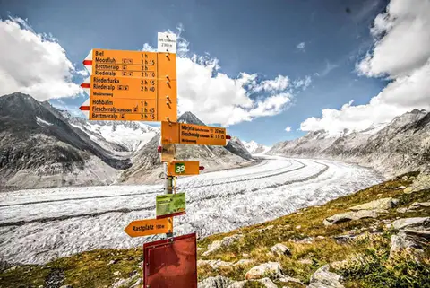 SwitzerlandAletsch Glacier (Aletschgletscher)The most classic walk to the Aletsch Glacier, the largest glacier in the Alps.
- Grade
- T
- Time
- 4:30h
- Distance
- 14km
- Ascent
- 460m
- Rating
- 10/10
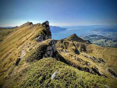 SwitzerlandTo the Rochers de Naye, a balcony over Lake GenevaThe 2000-metre peak closest to Lake Geneva: half green plateau, half vertical rock pinnacle.
- Grade
- E+
- Time
- 4:00h
- Distance
- 10km
- Ascent
- 550m
- Rating
- 9/10
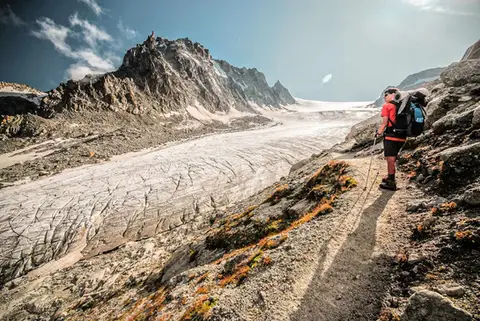 SwitzerlandGlacier d'Orny and Cabane du TrientA walk to the imposing Glacier d'Orny, in the Mont Blanc massif
- Grade
- E
- Time
- 6:00h
- Distance
- 13km
- Ascent
- 970m
- Rating
- 9/10
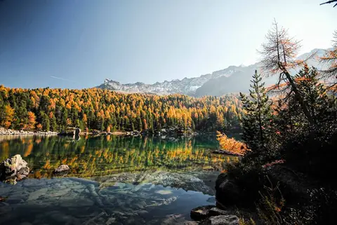 SwitzerlandLago di Saoseo and Lago Viola in the Val di CampoTwo gems of lakes in a valley dotted with alpine pastures. At its best between October and November.
- Grade
- T
- Time
- 4:30h
- Distance
- 13km
- Ascent
- 550m
- Rating
- 9/10
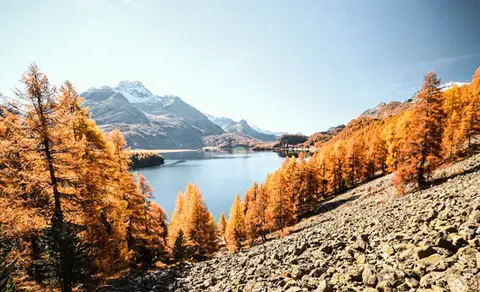 SwitzerlandThe balcony path from Silvaplana to the Maloja PassAn easy balcony path dominated by breathtaking views of Lake Sils and Lake Silvaplana, with the Bernina and the peaks of the Bregaglia in the background.
- Grade
- T
- Time
- 4:00h
- Distance
- 13km
- Ascent
- 470m
- Rating
- 8/10
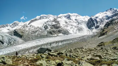 SwitzerlandCapanna Boval and the Morteratsch GlacierFace to face with the Bernina, in a commanding glacial setting.
- Grade
- E
- Time
- 5:00h
- Distance
- 14km
- Ascent
- 640m
- Rating
- 8/10
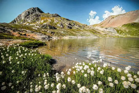 SwitzerlandLago Lunghin and Piz LunghinA lake, a peak and a pass, all sharing a breathtaking view over the Bernina group and the Lago di Sils.
- Grade
- E
- Time
- 6:30h
- Distance
- 16km
- Ascent
- 1,030m
- Rating
- 8/10
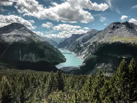 SwitzerlandAlp and Munt La Schera, lookouts over Lago di LivignoNorth American views, with the turquoise Lago di Livigno and broad valleys cloaked in firs and larches.
- Grade
- E
- Time
- 4:30h
- Distance
- 13km
- Ascent
- 810m
- Rating
- 7/10
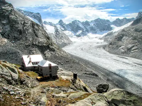 SwitzerlandCapanna del Forno and the Forno GlacierA long walk up the Valle del Forno, repaid with views worthy of Patagonia.
- Grade
- EE
- Time
- 8:00h
- Distance
- 21km
- Ascent
- 1,020m
- Rating
- 7/10
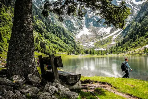 SwitzerlandLago di Cama in the Val di CamaA small Alpine lake set in an amphitheatre of peaks.
- Grade
- T
- Time
- 6:00h
- Distance
- 13km
- Ascent
- 940m
- Rating
- 7/10
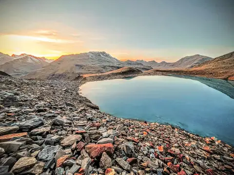 Valtellina · SwitzerlandLago Vago, the blue pearl of LivignoA short hike to Lago Vago, a Caribbean-looking tarn so blue it seems fake.
- Grade
- E
- Time
- 3:00h
- Distance
- 6km
- Ascent
- 520m
- Rating
- 7/10
Questions
The answers come from the hike pages listed here.
Which one is the best, in your view?
Aletsch Glacier (Aletschgletscher), which we rated 10 out of 10.
Which one is the easiest?
Aletsch Glacier (Aletschgletscher): grade T, 4:30 hours of walking and 460 metres of ascent.
How long do these hikes take?
From 3:00 to 8:00 hours of walking, with ascents between 460 and 1,030 metres.
More guides
Other lists that share some of these hikes.