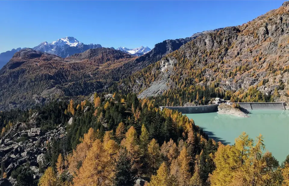
The turquoise water of the Campo Moro reservoir, in upper Valmalenco. The colour comes from the meltwater of the Fellaria glaciers, above the reservoir. In autumn, usually in the last two weeks of October, the larches turn red, the only conifer to do so, while the firs stay green, creating spectacular patterns of colour.
Valtellina stretches for 100 km from Lake Como to Bormio. A straight trench whose floor lies perfectly flat at the same altitude as the Po plain, of which it forms a strange extension. The only difference: to the north and south of it open deep, rugged valleys that climb to the 3,000 metres of the Orobie (to the south) and the 4,000 metres (or nearly) of the Bernina and the Ortles (to the north).
The valleys to the south of Valtellina are straight, narrow trenches, rugged and little visited, with the possible exception of Val Gerola, dotted with small lakes and reservoirs.
To the north of Valtellina, by contrast, open legendary valleys, such as Val Masino, a small granite paradise reminiscent of Yosemite, in the shadow of the Cengalo and the Badile, and Valmalenco, packed with hikes, glaciers, lakes and historic mountain huts.
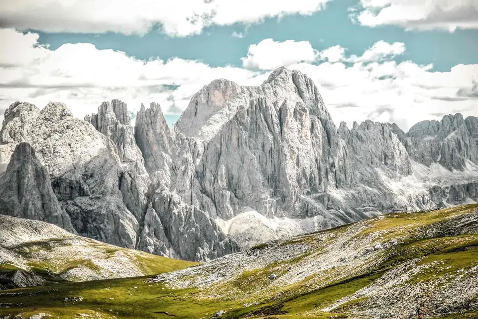
And finally, past Tirano and up to Bormio, you enter a wonderful valley basin with a Dolomite feel, ringed by the stern ramparts of the Cristallo group. Entering the Stelvio National Park you breathe a magical aura of untouched nature and silence, among grey, stern peaks and lakes that look Canadian. But you also breathe an air of war, walking the trenches and tunnels dug on the peaks of the Stelvio during the First World War.
An elevated provincial road, opened in 2018, extends the SS36 from Lake Como to Ardenno, bypassing Morbegno and greatly improving traffic in the valley.
Good to know about Valtellina
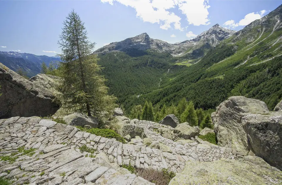
The Rhaetian side of Valtellina, the slope that faces south, is shaped by vineyard terraces held up by some 2,500 kilometres of dry-stone walls, a figure that only makes sense when you look down on them from one of the side valleys. Nebbiolo grows there, known locally as Chiavennasca, and it makes Valtellina Superiore, a DOCG since 1998, and Sforzato di Valtellina, a DOCG since 2003, made from grapes left to dry before fermentation. The art of dry-stone walling, of which these terraces are an example, has been on UNESCO's intangible heritage list since 2018, and walking through the vines in late September, at harvest time, gives an idea of how much labour they still demand.
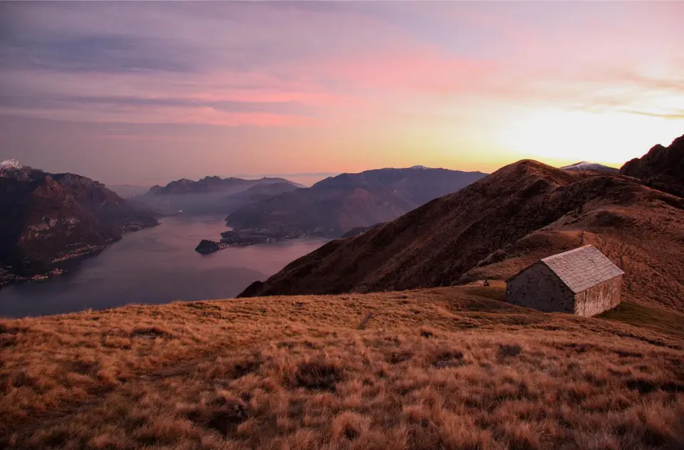
The Rifugio Benigni loop starts at Pescegallo, in the upper Val Gerola, which is one of the valleys of Bitto, the DOP alpine-pasture cheese that takes its name from the stream. Here a group of producers kept the older rules, with goat's milk and grazing without feed, and their cheese, now called Storico Ribelle, is aged at Gerola Alta. At the other end of the valley, beyond Bormio, the Stelvio National Park begins, established by a law of 1935; it takes in the whole Ortles-Cevedale massif and has its own rules on dogs, camping and picking flowers, which are worth reading before you enter.
The hikes
By our rating, highest first. Browse them as photographs, as a list with all the numbers or on the map.
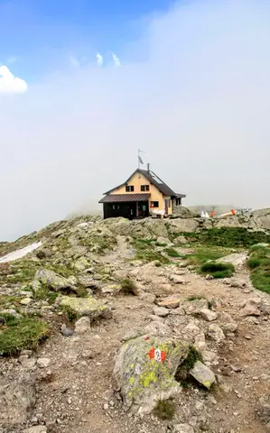 ValtellinaLoop of Rifugio Benigni and the Trona and Zancone lakesA long route in the upper Val Gerola, taking in a mountain hut, 4 lakes and a few ibex.
- Grade
- E
- Time
- 6:00h
- Distance
- 15km
- Ascent
- 970m
- Rating
- 8/10
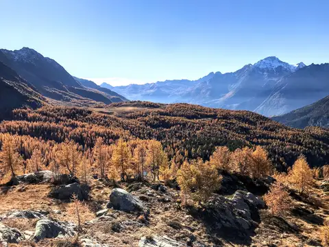 ValtellinaRifugio Cristina, a balcony over the larch woods of the ValmalencoA short walk to Rifugio Cristina at Alpe Prabello, at the foot of Pizzo Scalino.
- Grade
- T
- Time
- 2:00h
- Distance
- 6.5km
- Ascent
- 230m
- Rating
- 8/10
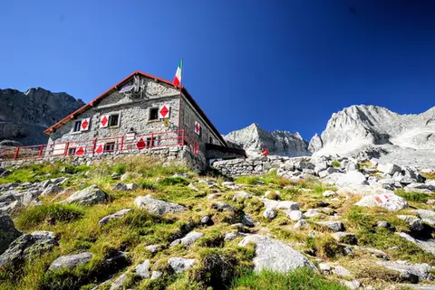 ValtellinaRifugio Gianetti in Val MasinoAn essential stop in the mountains of Lombardy, face to face with the granite giants of Val Masino.
- Grade
- E/EE
- Time
- 7:30h
- Distance
- 15km
- Ascent
- 1,480m
- Rating
- 8/10
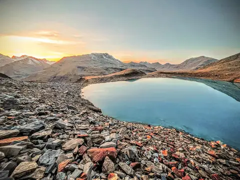 Valtellina · SwitzerlandLago Vago, the blue pearl of LivignoA short hike to Lago Vago, a Caribbean-looking tarn so blue it seems fake.
- Grade
- E
- Time
- 3:00h
- Distance
- 6km
- Ascent
- 520m
- Rating
- 7/10
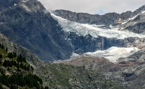 ValtellinaRifugio Bignami and the Marson Glacier Trail at the FellariaIn the upper Valmalenco, face to face with the Fellaria Glacier.
- Grade
- E
- Time
- 5:30h
- Distance
- 15km
- Ascent
- 670m
- Rating
- 7/10
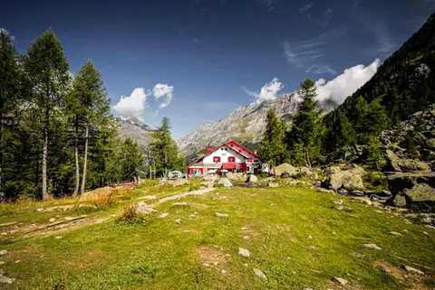 ValtellinaRifugio Gerli Porro and the Ventina Glacier TrailDiscovering Alpe Ventina, on the trail of a retreating glacier.
- Grade
- T
- Time
- 3:30h
- Distance
- 10km
- Ascent
- 700m
- Rating
- 7/10
Questions
The answers come from the hike pages listed here.
Which one is the best, in your view?
Loop of Rifugio Benigni and the Trona and Zancone lakes, Rifugio Cristina, a balcony over the larch woods of the Valmalenco, Rifugio Gianetti in Val Masino, all rated 8 out of 10.
Which one is the easiest?
Rifugio Cristina, a balcony over the larch woods of the Valmalenco: grade T, 2:00 hours of walking and 230 metres of ascent.
How long do these hikes take?
From 2:00 to 7:30 hours of walking, with ascents between 230 and 1,480 metres.
More guides
Other lists that share some of these hikes.