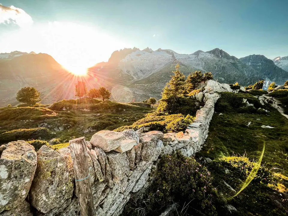
Sunset light on the spectacular ridge facing the Aletsch Glacier. Thanks to the lifts, the Aletsch Glacier can be admired on a relatively short and easy hike.
In this section you will find a selection of child-friendly hikes: outings that are not too long, often with lakes, streams and waterfalls, or fun historic military sites. So that both you and they have a good time.
Reading the grades with children
The abbreviations on our pages follow the CAI scale, and if you are walking with children the difference between T and E matters. T, turistico, means lanes, mule tracks or wide, obvious paths that ask for little more than being used to walking; E, escursionistico, means proper footpaths that call for a sense of direction, some fitness and suitable footwear. The grade refers to the hardest point of the route rather than the average, so an E walk can be easy almost everywhere and need care for only a few metres. In Switzerland the same logic appears on the signposts: yellow hiking trails are suitable for everyone, while white-red-white markings indicate mountain paths, with sections that may be steep, narrow or exposed.
With children it makes sense to think in hours rather than kilometres, remembering that the times on our pages are an adult's, without breaks, and should be stretched generously with a small child. Lakes, streams and old military ruins make intermediate goals that motivate more than any summit, and let you shorten the outing without it feeling like giving up. At altitude the sun burns even when the air is cool, so hats and sun cream matter as much as a windproof jacket, and extra water and snacks are never wasted.
The hikes
By our rating, highest first. Browse them as photographs, as a list with all the numbers or on the map.
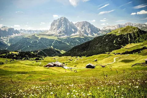 DolomitesRifugio Firenze and Seceda, a balcony on the OdlePerhaps the finest hike in the whole of the Dolomites, set between alpine pastures and vertical walls.
- Grade
- T
- Time
- 5:00h
- Distance
- 15km
- Ascent
- 880m
- Rating
- 10/10
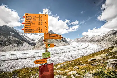 SwitzerlandAletsch Glacier (Aletschgletscher)The most classic walk to the Aletsch Glacier, the largest glacier in the Alps.
- Grade
- T
- Time
- 4:30h
- Distance
- 14km
- Ascent
- 460m
- Rating
- 10/10
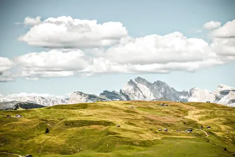 DolomitesFrom the Alpe di Siusi to Rifugio Bolzano on the SciliarA stroll across the high plateaus of the Alpe di Siusi and the Sciliar, among the most famous in the Dolomites.
- Grade
- T
- Time
- 7:00h
- Distance
- 21km
- Ascent
- 1,000m
- Rating
- 9/10
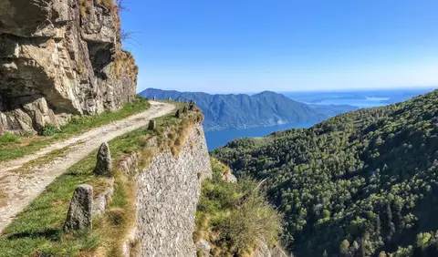 PiedmontCima di Morissolo and the Linea Cadorna fortificationsA summit dropping sheer to Lake Maggiore, just 30 minutes' walk away, with a maze of Linea Cadorna tunnels.
- Grade
- T
- Time
- 1:30h
- Distance
- 3.5km
- Ascent
- 170m
- Rating
- 8/10
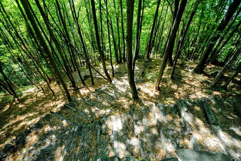 ValchiavennaAcquafraggia Falls, Savogno and DasileA loop around the Acquafraggia Falls: ladders, pools, Lilliputian villages and old mule tracks.
- Grade
- T
- Time
- 3:00h
- Distance
- 5.5km
- Ascent
- 620m
- Rating
- 8/10
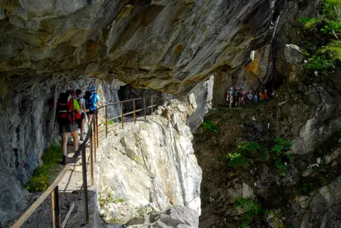 ValchiavennaThe Sentiero del TracciolinoThe Sentiero del Tracciolino: 10km of galleries and tunnels between San Giorgio (Val Codera) and the Val dei Ratti.
- Grade
- E
- Time
- 6:00h
- Distance
- 15km
- Ascent
- 1,000m
- Rating
- 8/10
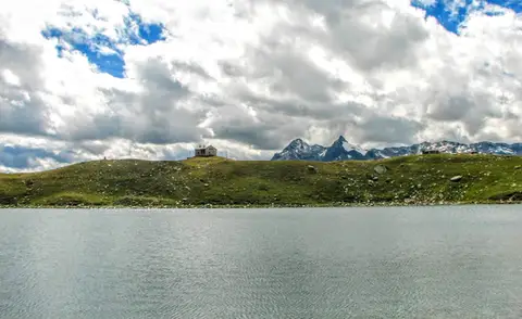 ValchiavennaRifugio Bertacchi at Lago d'EmetTo Lago d'Emet, an almost perfectly circular little lake overlooking the Valle Spluga.
- Grade
- E
- Time
- 5:00h
- Distance
- 11km
- Ascent
- 990m
- Rating
- 8/10
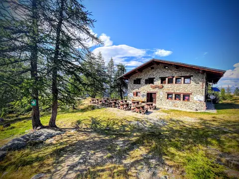 Aosta ValleyTo Rifugio Barbustel, in the heart of the Monte Avic Natural ParkCrystal-clear lakes and larch woods with a North American feel, in under 3 hours of walking.
- Grade
- T
- Time
- 4:30h
- Distance
- 9.6km
- Ascent
- 700m
- Rating
- 8/10
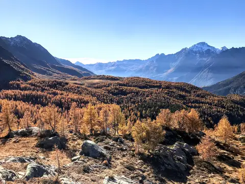 ValtellinaRifugio Cristina, a balcony over the larch woods of the ValmalencoA short walk to Rifugio Cristina at Alpe Prabello, at the foot of Pizzo Scalino.
- Grade
- T
- Time
- 2:00h
- Distance
- 6.5km
- Ascent
- 230m
- Rating
- 8/10
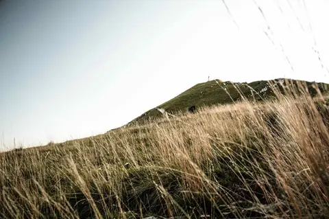 Lake ComoTo Monte Cornizzolo by way of San Pietro al MonteOne of the most panoramic summits of the Triangolo Lariano, by way of a Romanesque abbey.
- Grade
- E
- Time
- 5:00h
- Distance
- 11km
- Ascent
- 1,110m
- Rating
- 7/10
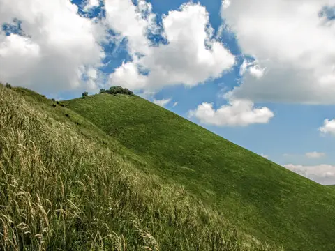 Lake ComoThe Boletto and Bolettone loopA loop along the grassy ridges of Monte Boletto and Monte Bolettone, squeezed between the plain and Lake Como
- Grade
- T
- Time
- 5:00h
- Distance
- 15km
- Ascent
- 740m
- Rating
- 7/10
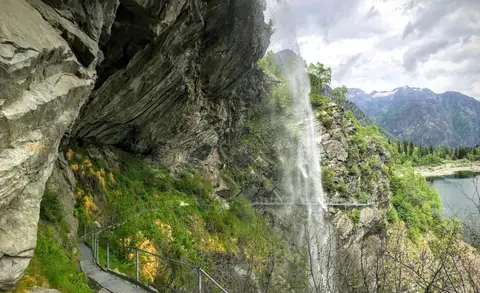 PiedmontThe Valle Antrona loop: Lago Antrona and Lago di CampliccioliA short hike around the lakes of Antrona and Campliccioli, in the lower Valle Antrona.
- Grade
- T
- Time
- 3:00h
- Distance
- 10km
- Ascent
- 400m
- Rating
- 7/10
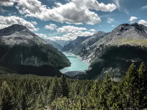 SwitzerlandAlp and Munt La Schera, lookouts over Lago di LivignoNorth American views, with the turquoise Lago di Livigno and broad valleys cloaked in firs and larches.
- Grade
- E
- Time
- 4:30h
- Distance
- 13km
- Ascent
- 810m
- Rating
- 7/10
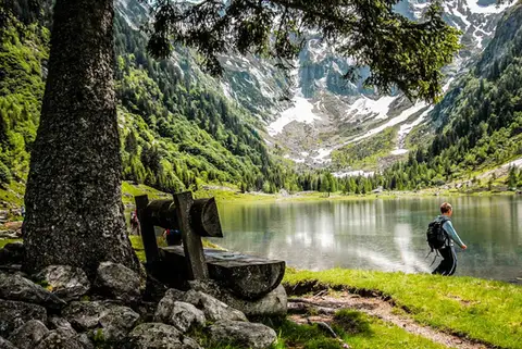 SwitzerlandLago di Cama in the Val di CamaA small Alpine lake set in an amphitheatre of peaks.
- Grade
- T
- Time
- 6:00h
- Distance
- 13km
- Ascent
- 940m
- Rating
- 7/10
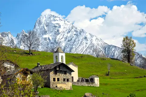 ValchiavennaDaloo and Lagunc, balconies over the ValchiavennaA mule track, a little white church and a unique view over the Piana di Chiavenna.
- Grade
- T
- Time
- 3:00h
- Distance
- 6km
- Ascent
- 650m
- Rating
- 7/10
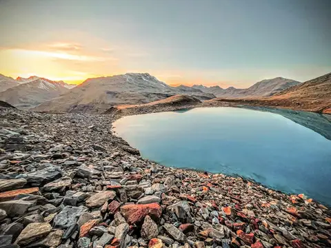 Valtellina · SwitzerlandLago Vago, the blue pearl of LivignoA short hike to Lago Vago, a Caribbean-looking tarn so blue it seems fake.
- Grade
- E
- Time
- 3:00h
- Distance
- 6km
- Ascent
- 520m
- Rating
- 7/10
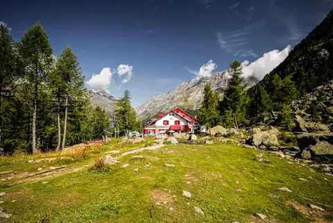 ValtellinaRifugio Gerli Porro and the Ventina Glacier TrailDiscovering Alpe Ventina, on the trail of a retreating glacier.
- Grade
- T
- Time
- 3:30h
- Distance
- 10km
- Ascent
- 700m
- Rating
- 7/10
Questions
The answers come from the hike pages listed here.
Which one is the best, in your view?
Rifugio Firenze and Seceda, a balcony on the Odle and Aletsch Glacier (Aletschgletscher), all rated 10 out of 10.
Which one is the easiest?
Cima di Morissolo and the Linea Cadorna fortifications: grade T, 1:30 hours of walking and 170 metres of ascent.
How long do these hikes take?
From 1:30 to 7:00 hours of walking, with ascents between 170 and 1,110 metres.
More guides
Other lists that share some of these hikes.