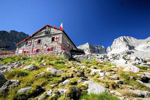
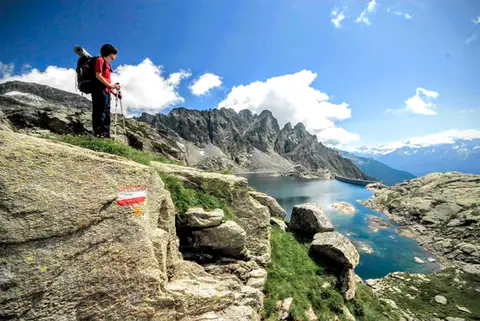
Update (March 2025): the Sentiero del Tracciolino is:
- OPEN on the section between San Giorgio and the Val dei Ratti (the most famous part of the route, the one covered by this itinerary).
- CLOSED because of landslides on the section between San Giorgio and Codera until at least 31 December 2025, by order of the municipality of Novate Mezzola.
The itinerary described below can therefore be walked in full.
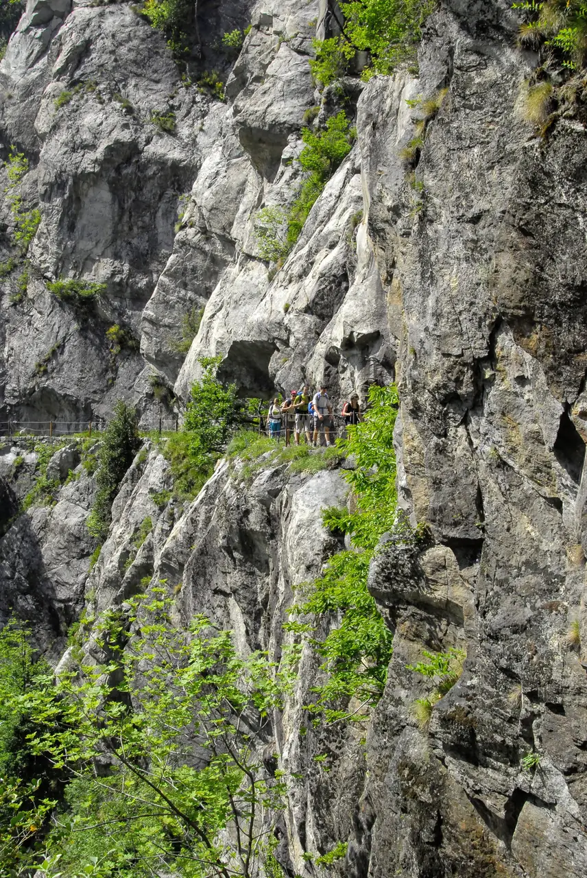
The Sentiero del Tracciolino is one of the most spectacular feats of human engineering in the Valchiavenna. It is a route 10 kilometres long that runs at a constant height of 920 metres between the Val dei Ratti and the Val Codera, built in the 1930s as a link between two small dams, one in the Val Codera, as it happens (little more than a concrete wall), and one in the Val dei Ratti (a little bigger). Of these 10 long kilometres, not all are equally interesting and captivating: while the stretch straddling the Val Codera and the Val dei Ratti has galleries and spectacular passages cut into the rock, the section between San Giorgio and Codera is more monotonous.
The suggested itinerary is a classic loop, starting from Novate Mezzola and returning via Verceia, which takes in the airiest and most spectacular part of the route. An alternative is to drive up into the Val dei Ratti on a new tarmac road built between 2012 and 2014; from there the route is entirely level, but you have to come back the same way. The Val dei Ratti road can be used with a permit (3€), which can be bought at one of the bars in Verceia (Bar Val di Ratt, Bar Pinki, Bar Miky, Bar Circolo Al Sert).
Getting to the Sentiero del Tracciolino
Back to the loop: we park in the large car park used by visitors to the beach on the Lago di Mezzola, just beyond the bridge over the Codera. We walk back across the bridge and follow on foot the road that climbs alongside the bed of the Codera and brings us to the start of the path to San Giorgio.
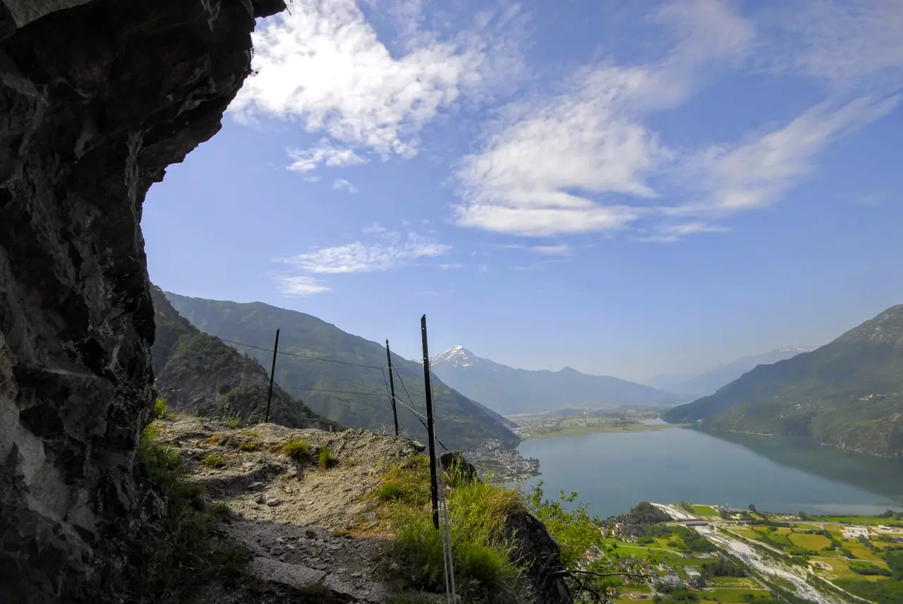
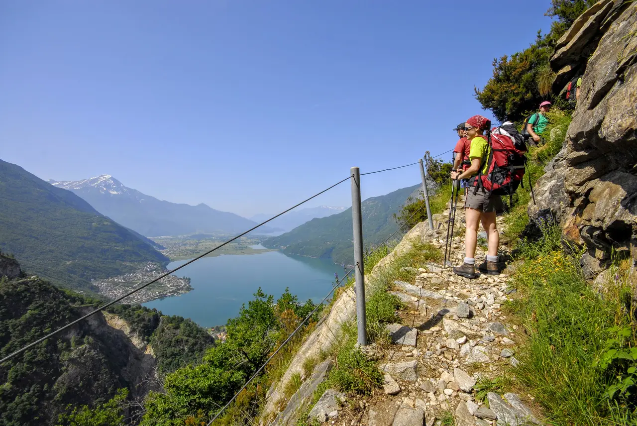
Once on the path, the landscape becomes more interesting with every step. As we climb, the view opens over the Lago di Mezzola, closed off to the south by the bulk of the Legnone and the Legnoncino.
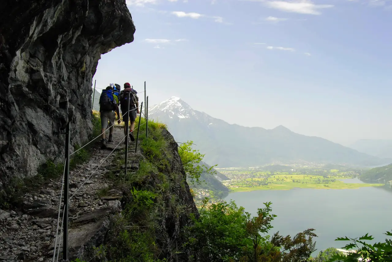
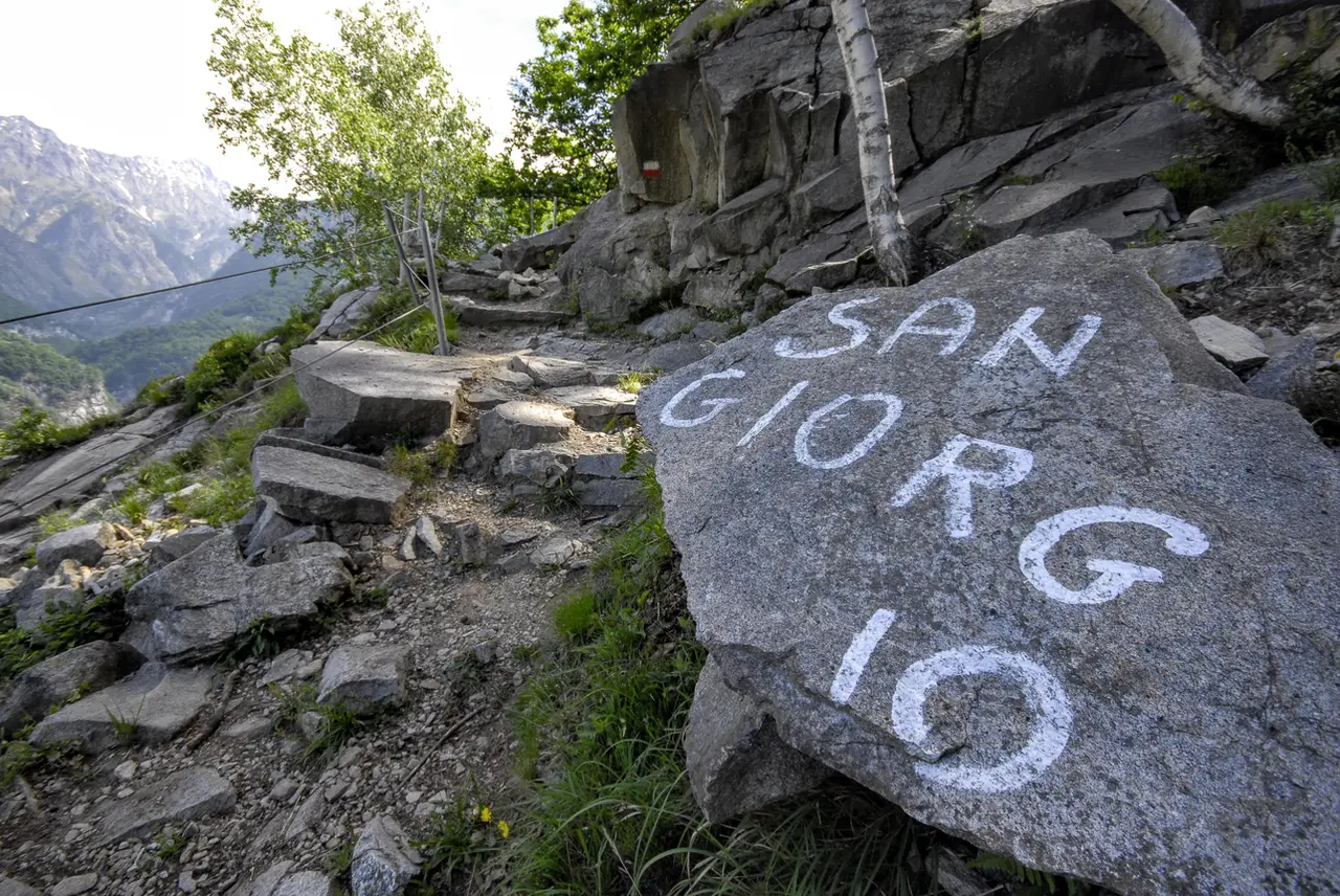
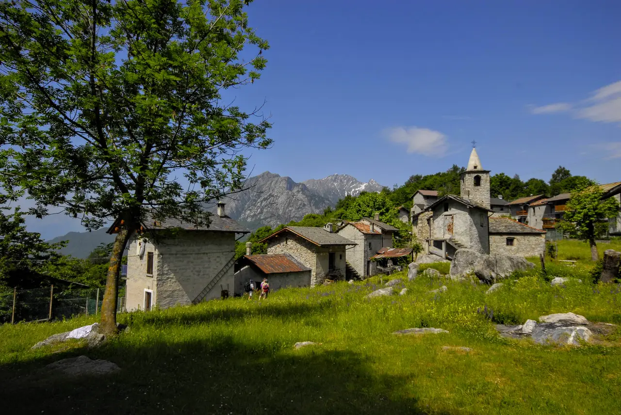
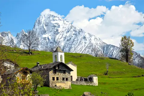
In a series of hairpins, ever more tightly stacked and cut into the bare rock, the route soon gains height; when the gradient finally eases and the route bends east, we come out into the bright green meadows of San Giorgio.
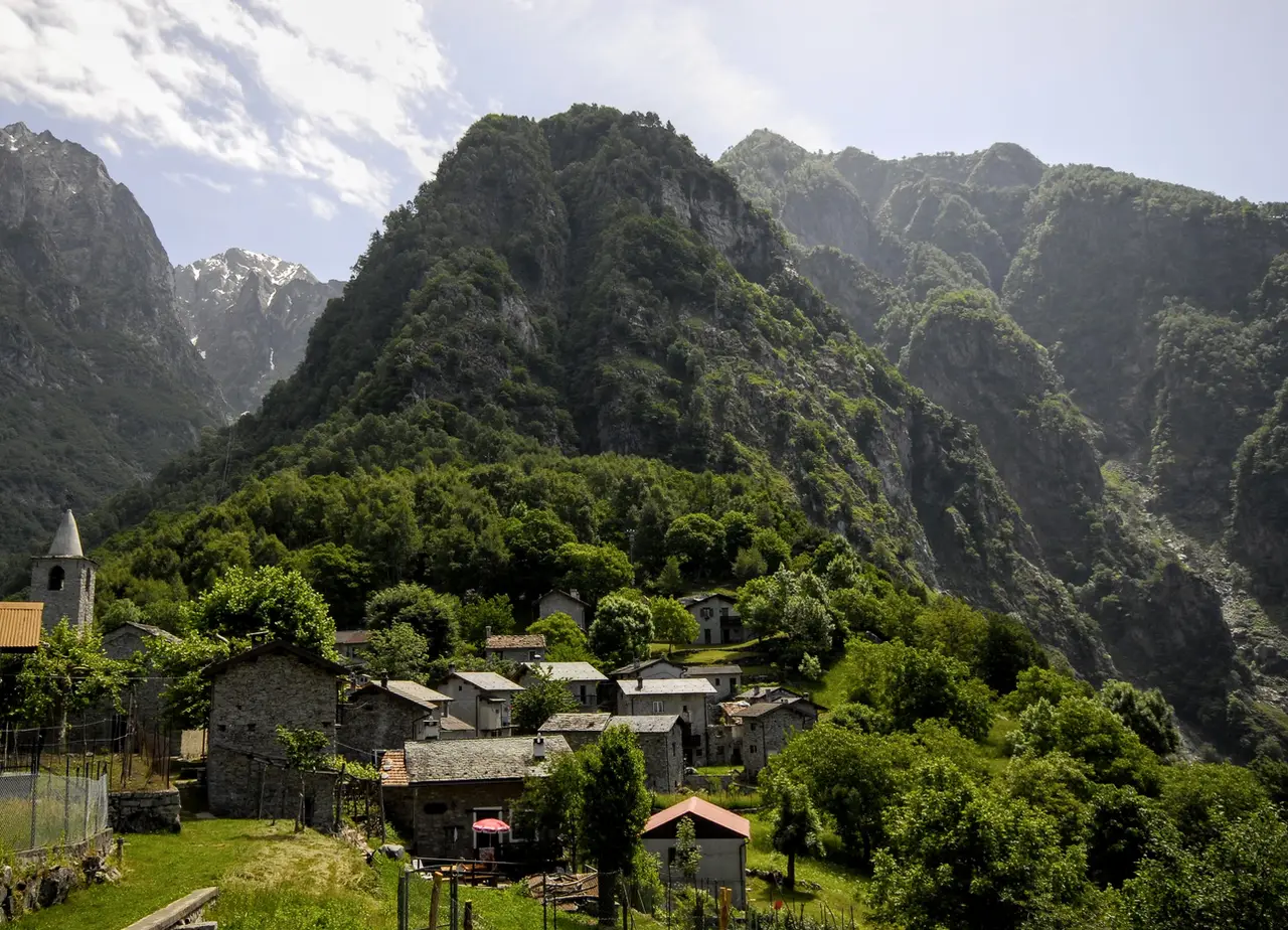
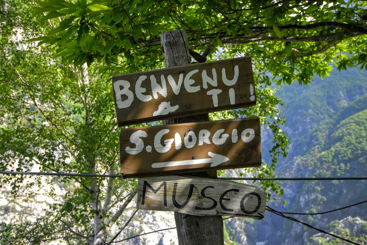
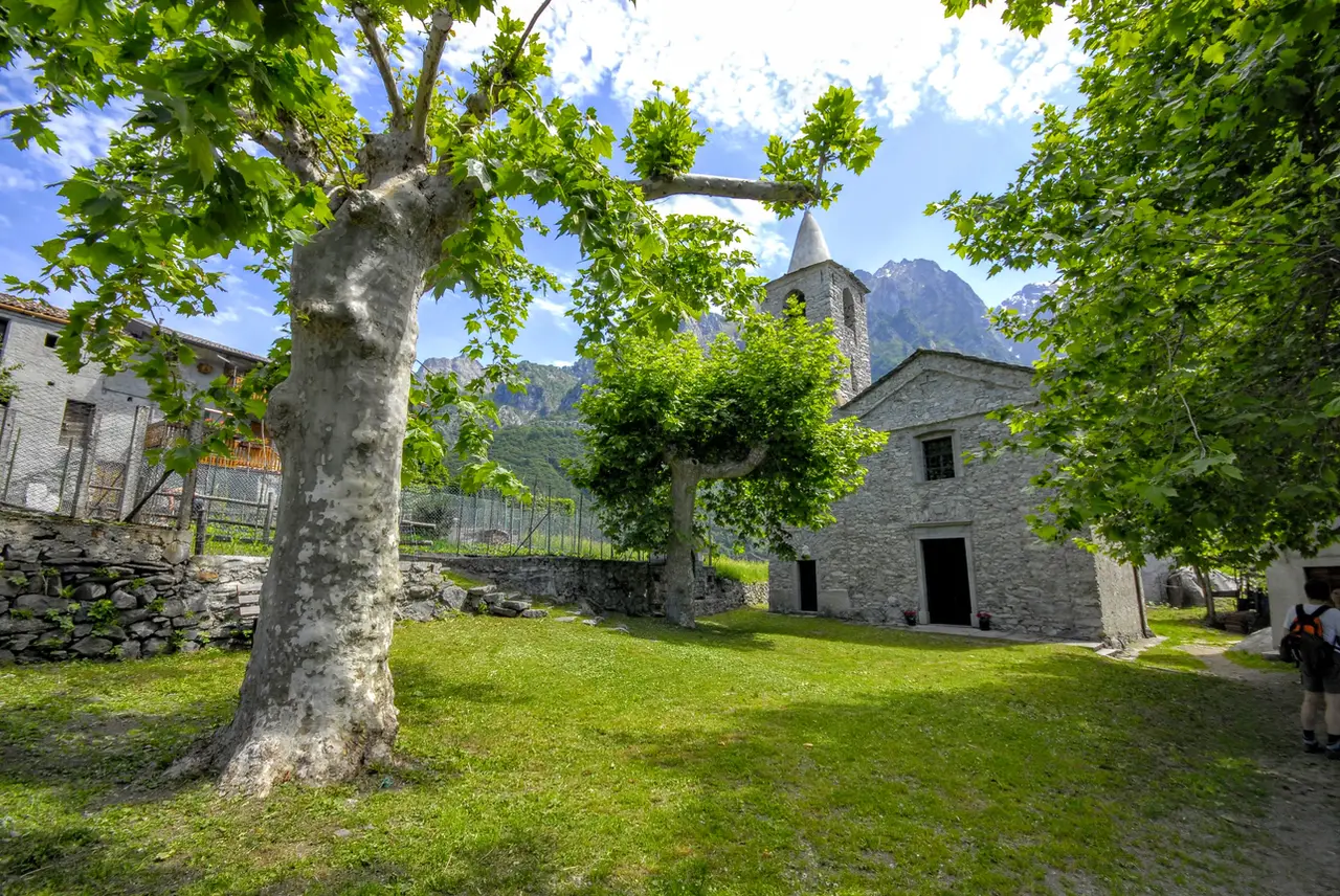
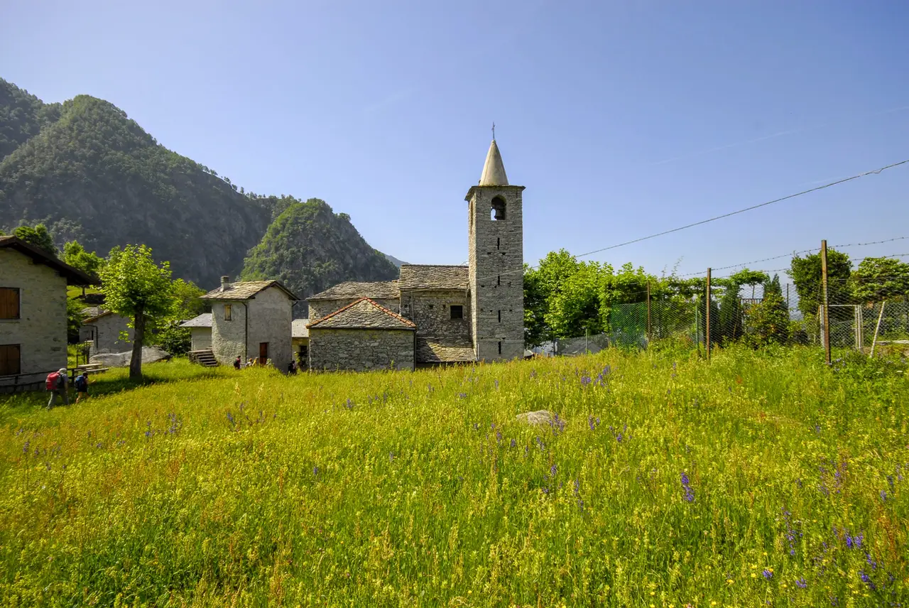
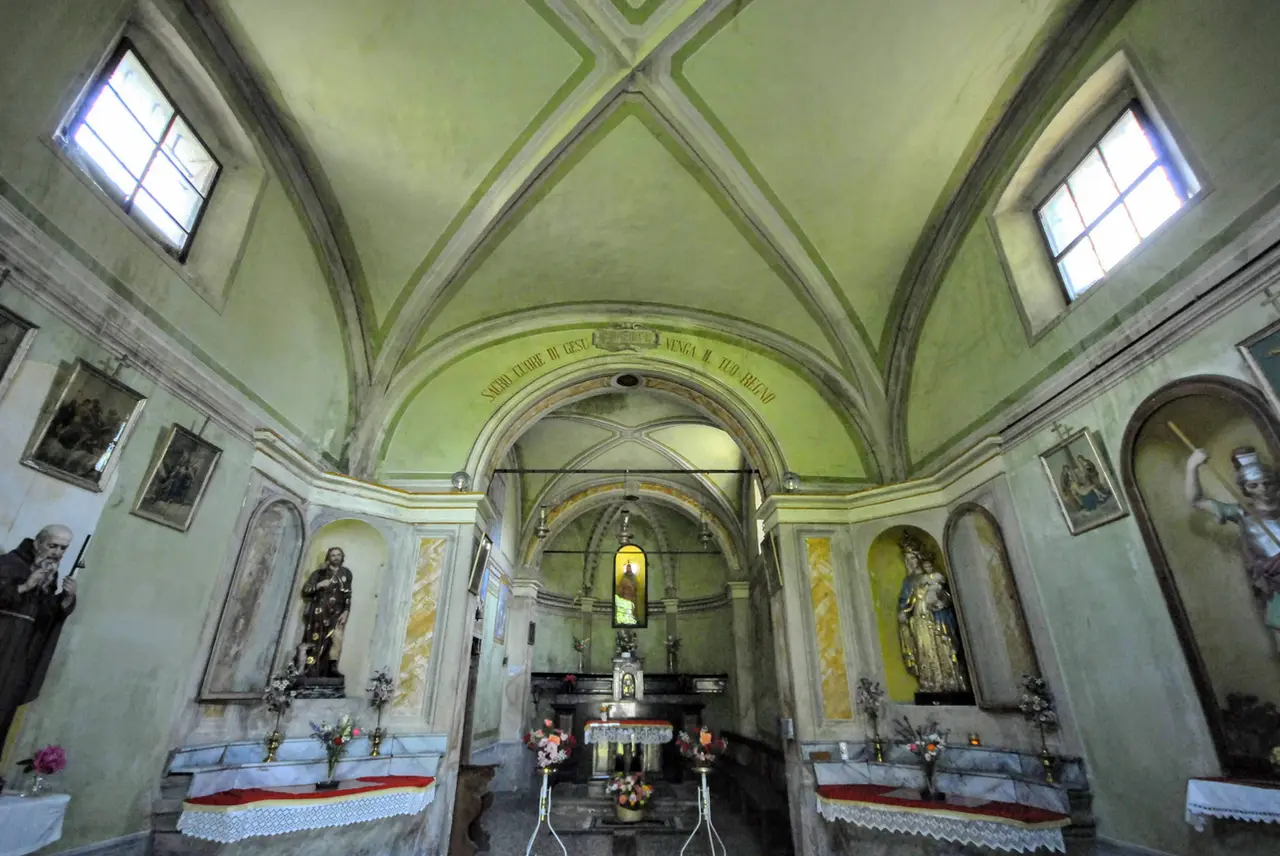
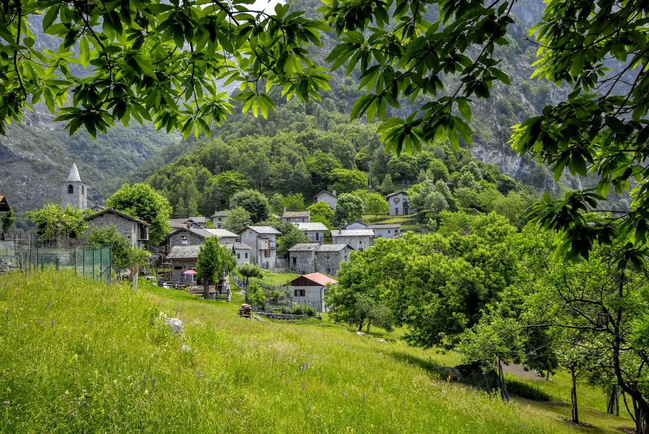
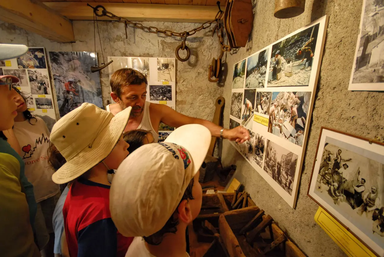
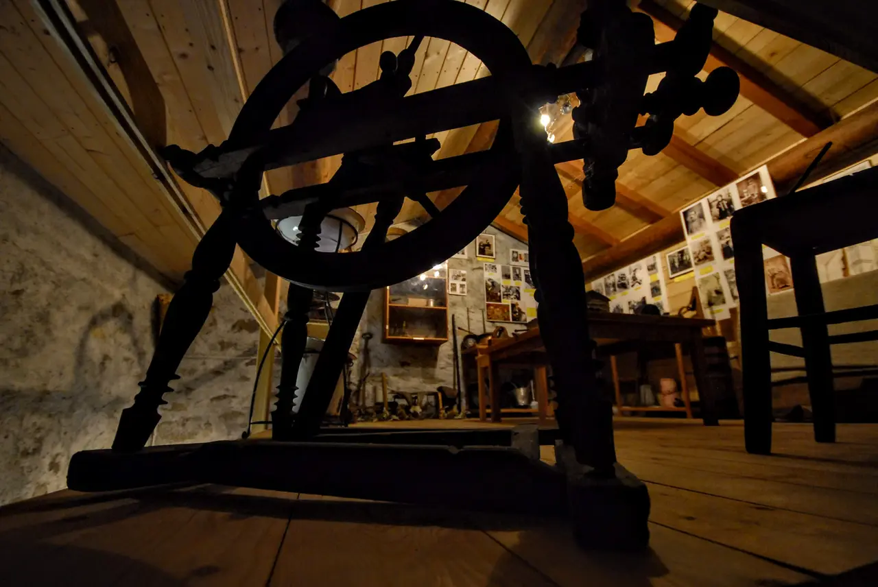
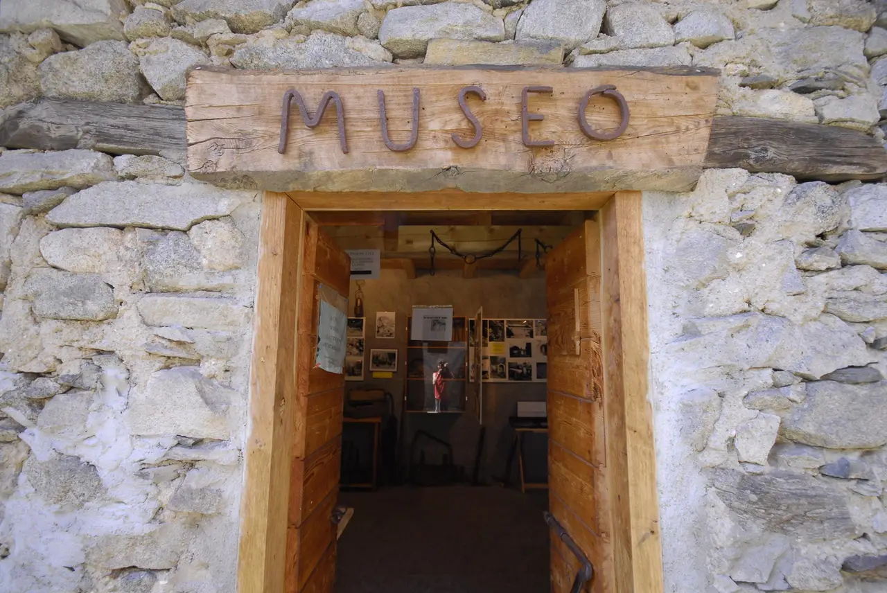
We are immediately struck by the beauty of the little church and its bell tower. The small San Giorgio Museum, which we find by strolling a little way downhill on the opposite side of the village, is worth a visit. Like Codera, San Giorgio is an inhabited village that can be reached only and exclusively on foot.
After a well-deserved break in this oasis, we go and pick up the Sentiero del Tracciolino, climbing for about twenty minutes through the meadows and woods behind the hamlet.
The Sentiero del Tracciolino in the Val Codera
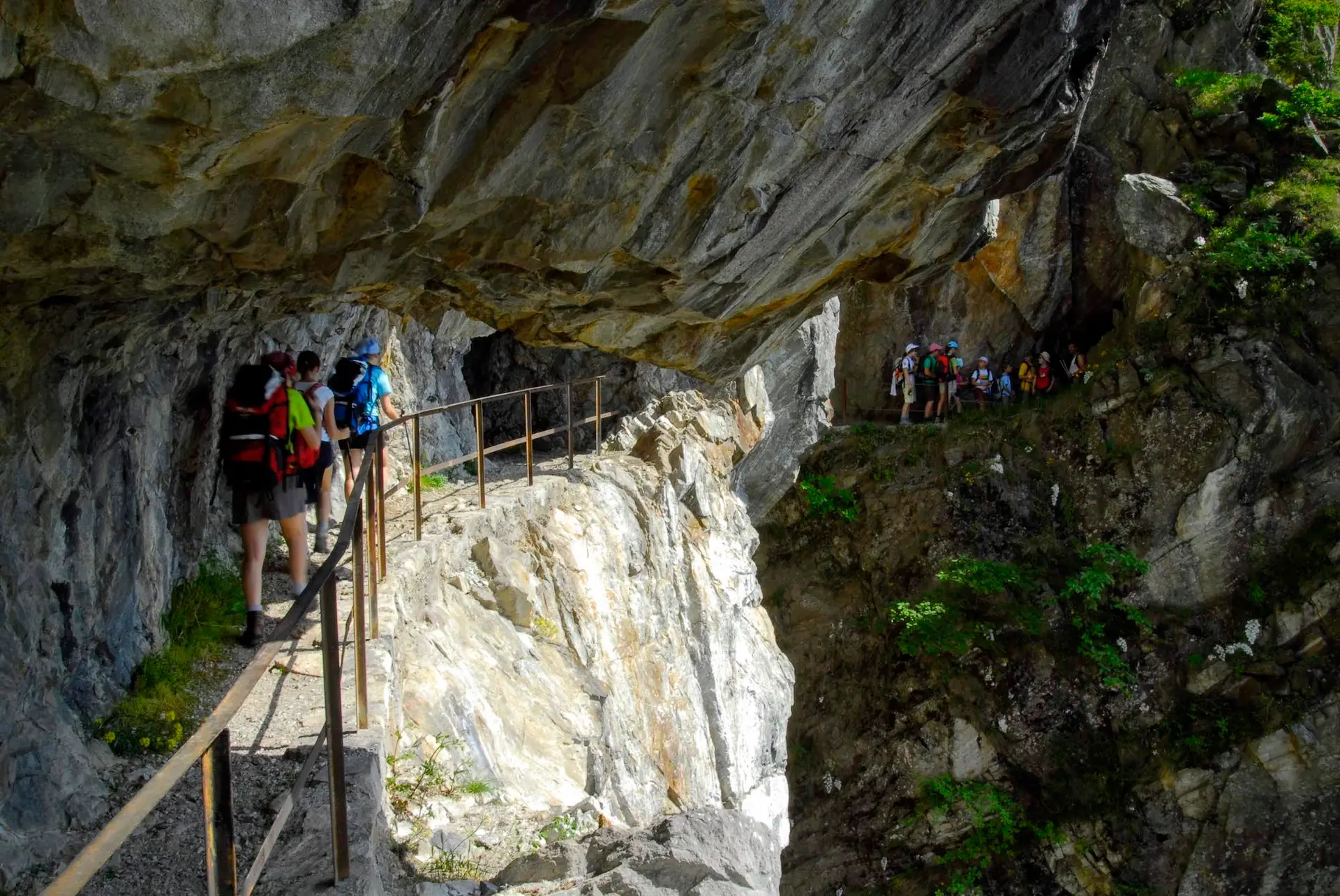
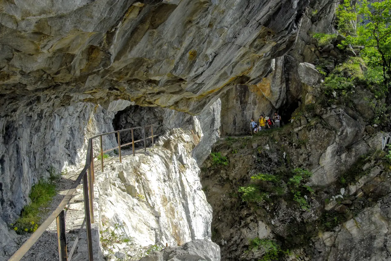
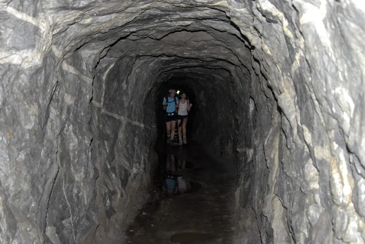
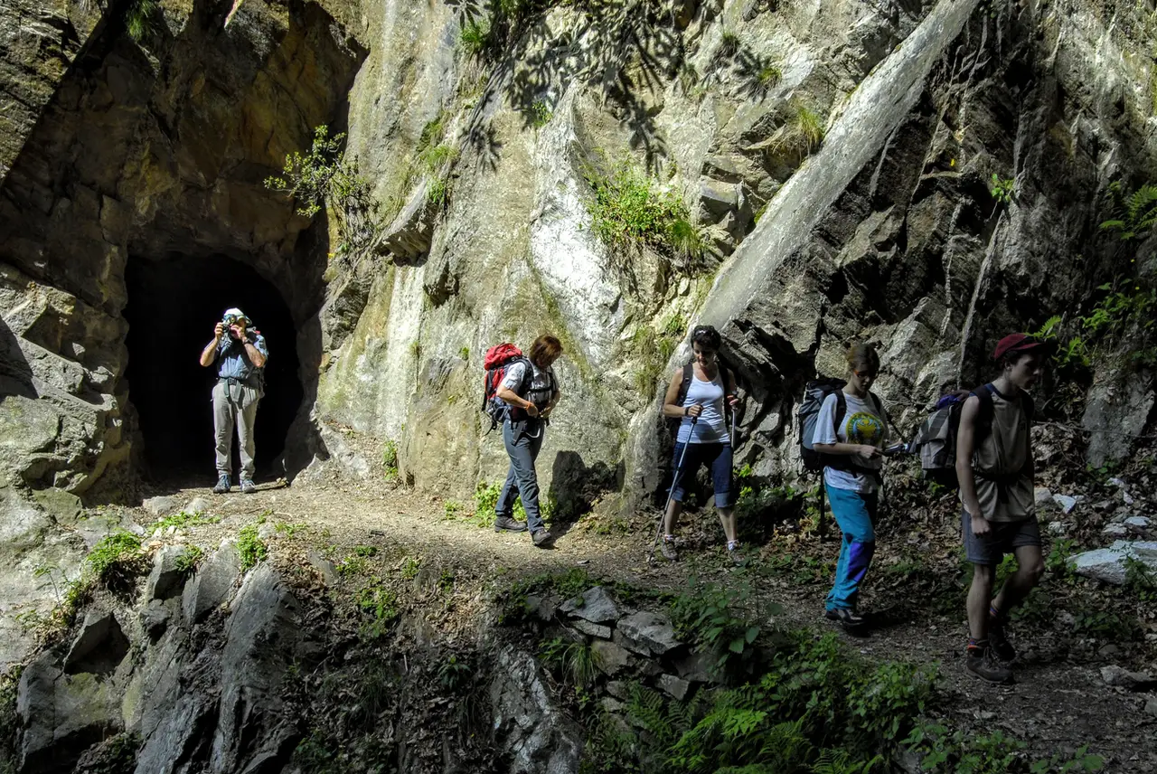
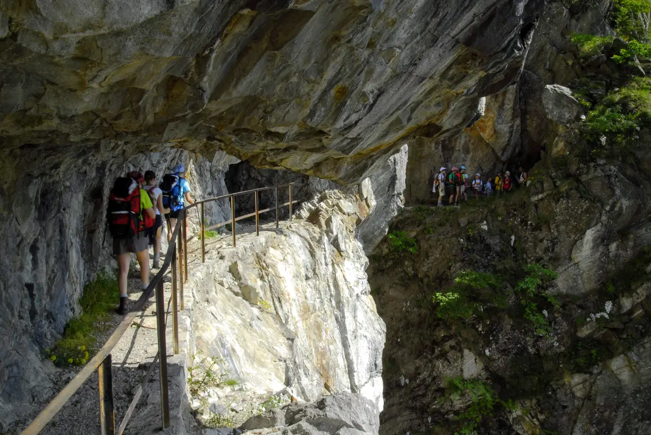
We take the Tracciolino to the right (to the left it has been blocked for years by a landslide). The galleries are not long in coming: a few steps, already airy, and here is a first very short gallery, then another, and another still. One short, one longer, one drawn with a ruler, another curving like a half-moon, all pleasantly cool: we have 30 truly interesting and captivating minutes ahead of us.
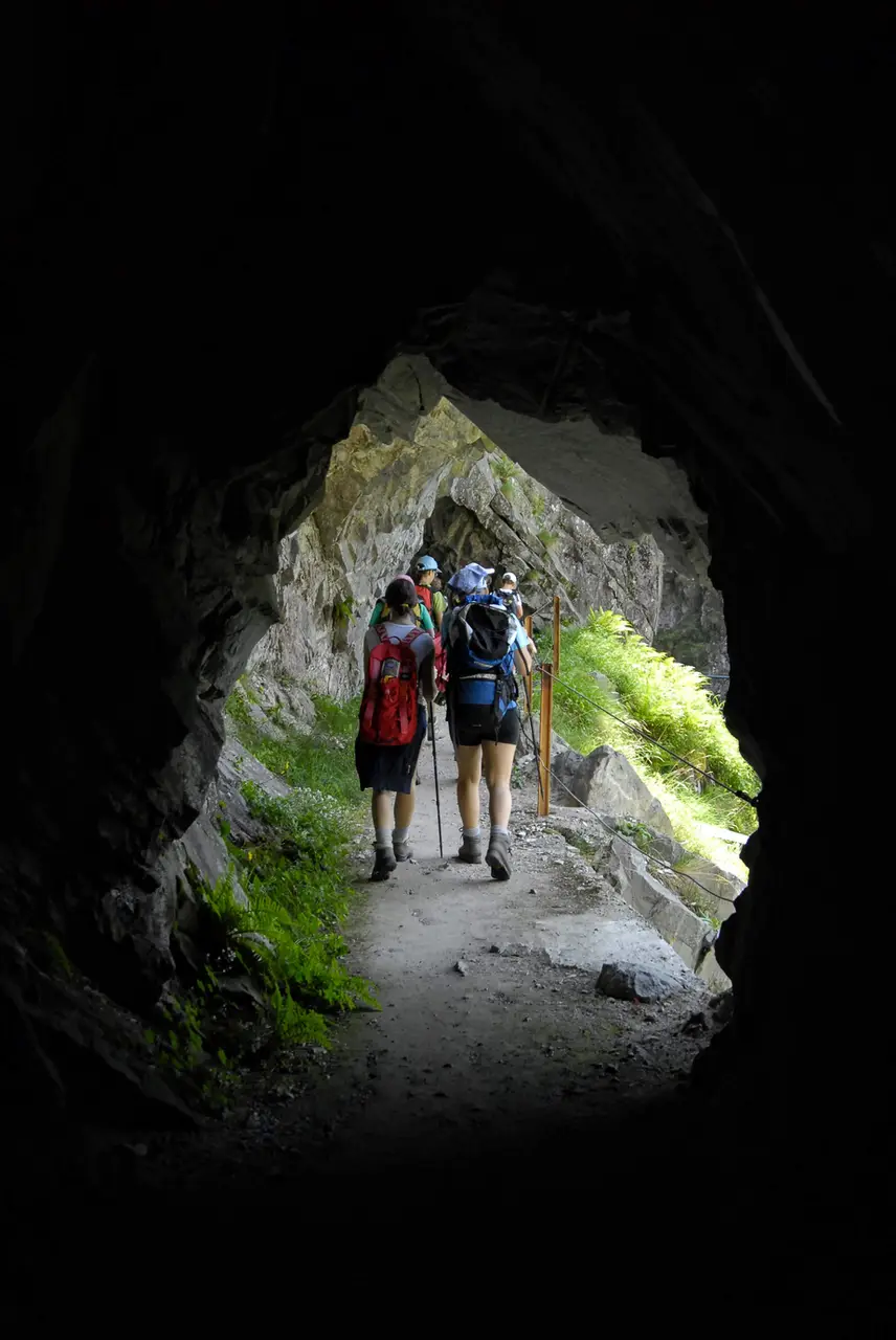
The route, protected throughout by a slender railing, is within everyone's reach and particularly suited to children (not only because they are the ones who can have the most fun, but also because they have an easier time getting through the low galleries).
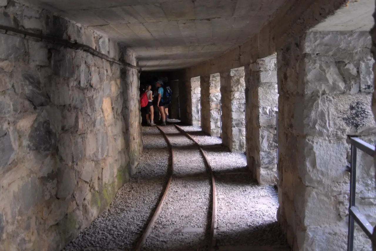
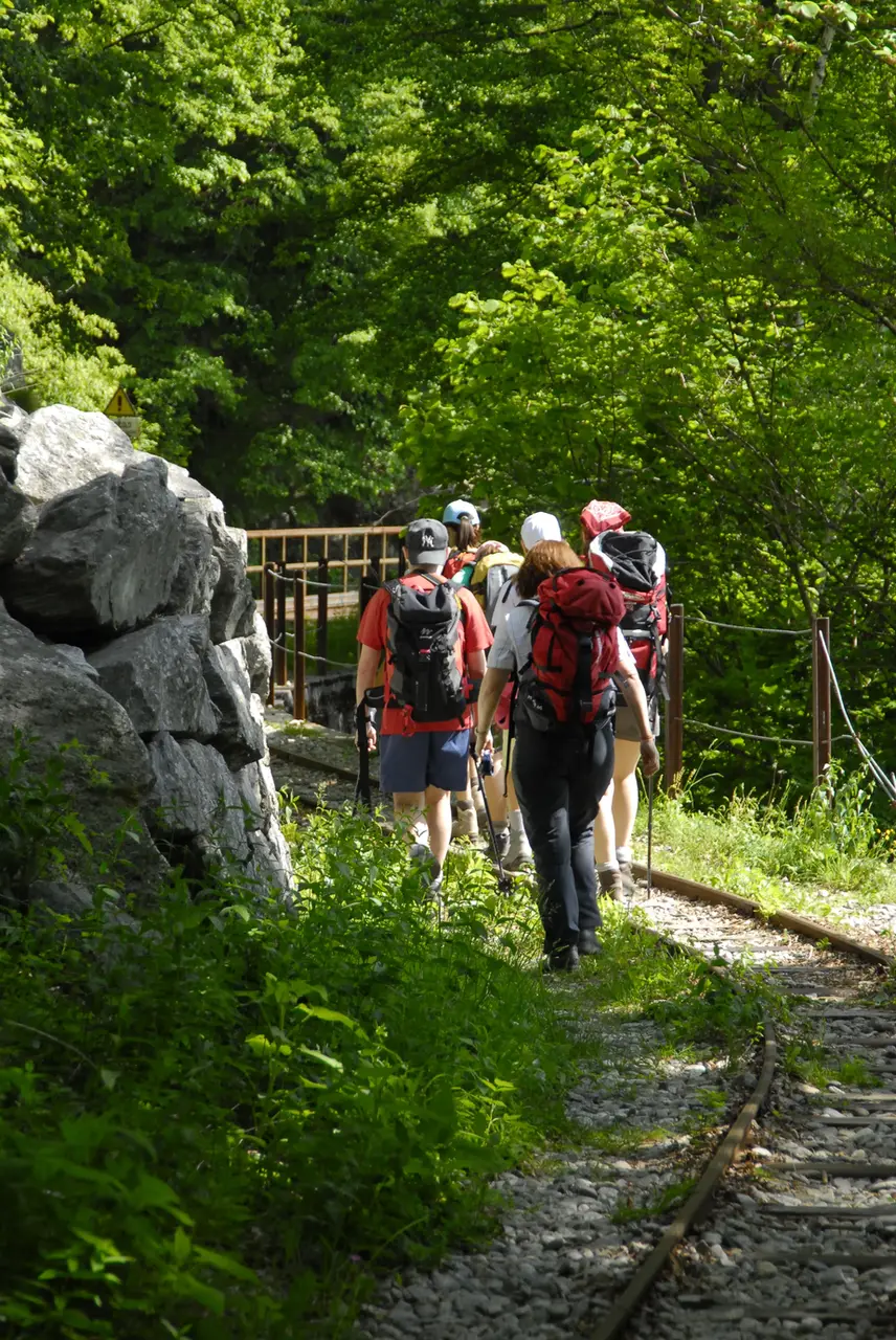
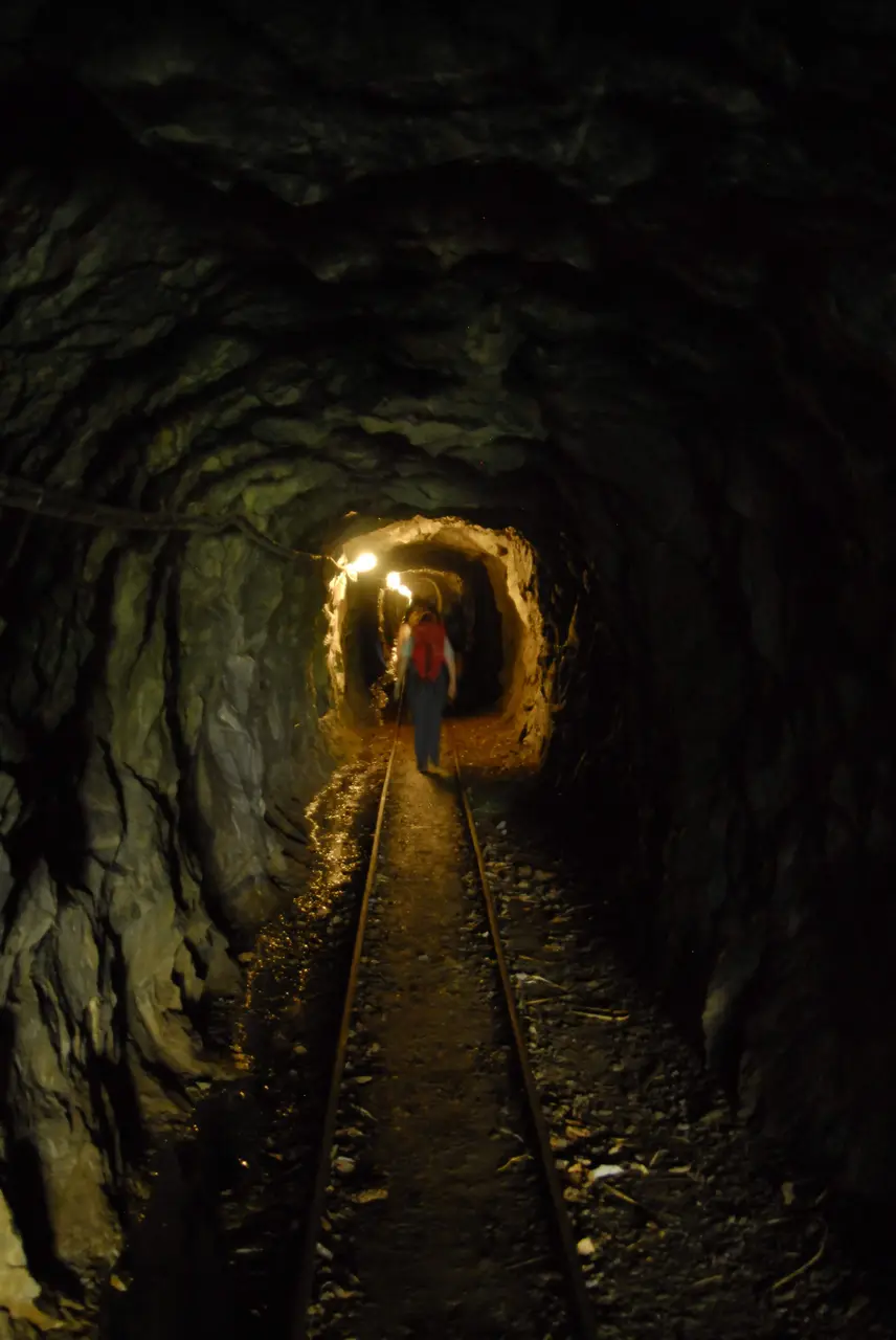
At one point, at the end of a gallery, the path widens to make room for a narrow-gauge railway, which emerges from a cavern in the mountain to keep us company (in fact, a rather awkward presence for our feet) through the last but also the longest gallery of the Tracciolino (there is a switch to turn on the light).
Once past this last gallery, the landscape changes radically: no more vertical walls, no more galleries, no more wild gorges; the landscape is now the gentle, wooded one of the lower mountains. We have left the Val Codera behind us and are now in the Val dei Ratti; the stretch that follows, though still evocative and undemanding, does not bear comparison with the Val Codera.
The Sentiero del Tracciolino in the Val dei Ratti
It takes us more than half an hour to reach the house of the keepers of the Val dei Ratti dam. With a bit of luck we may meet a keeper who, reluctant to walk the 5 level minutes that separate him from the dam, rides a little motorised contraption that clatters along the old rails of the Tracciolino (if he is feeling particularly sporty, he might instead be using the bicycle train).
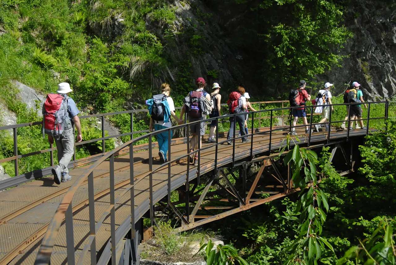
From here we can decide to go to the dam (5 minutes on foot, or 2 minutes by train) and/or climb to the hamlet of Frasnedo (m1287, 40 minutes); otherwise we can start straight away on the long, sultry descent to Verceia (the path starts a few dozen metres further on). The new road mentioned at the beginning comes up as far as this point.
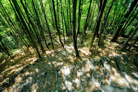
The descent to Verceia is a pleasant path through the woods; a narrow path lets us cut almost all the hairpins of the road. Once down in Verceia we can return to the car along the lovely cycle path on the shores of the Lago di Mezzola (about 1.5 km), or take a train towards Chiavenna and get off at the next station (Novate Mezzola).