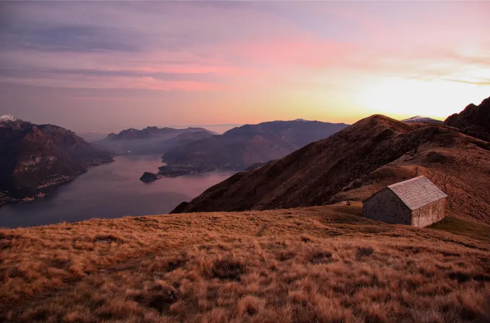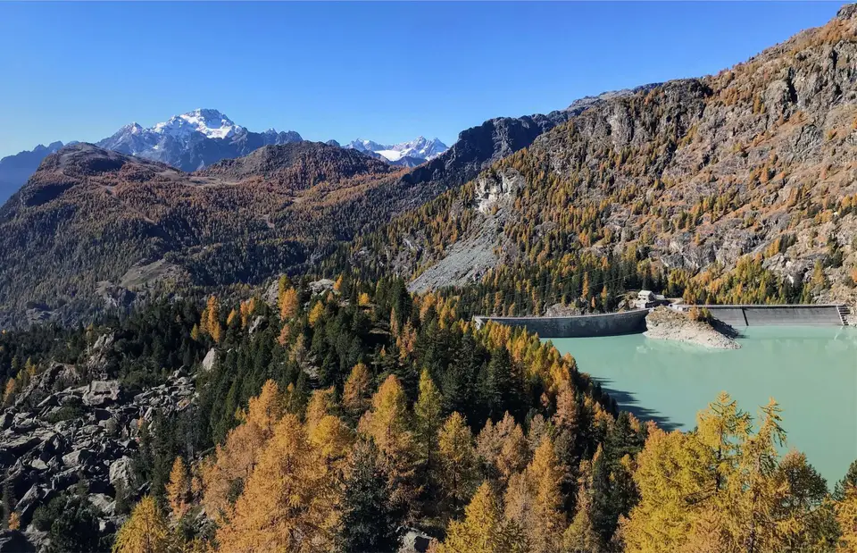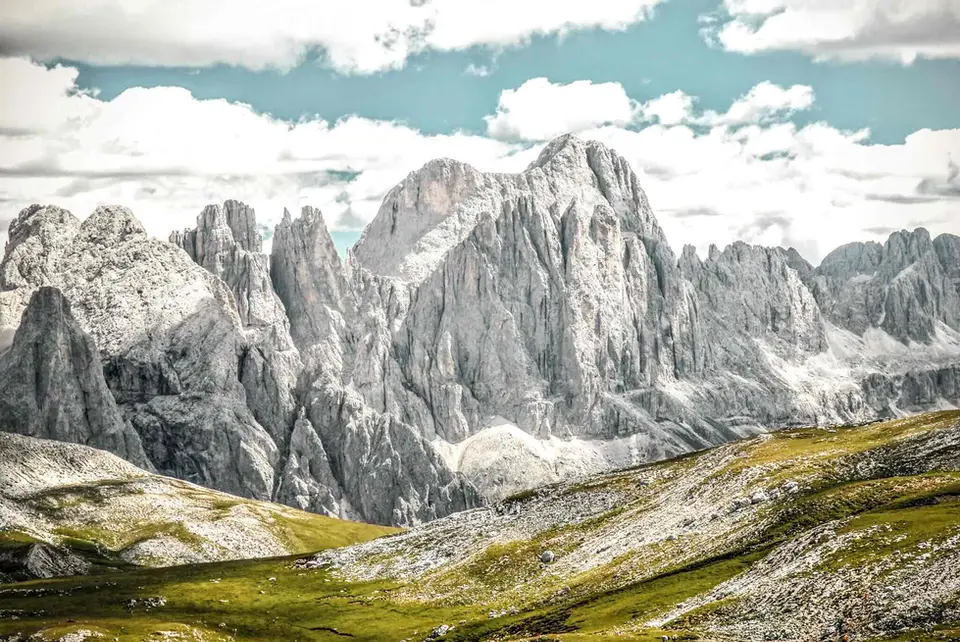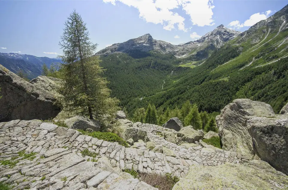
The fine mule track that climbs to Lago del Truzzo. On the opposite side of the valley you can see Alpe Lendine, the second destination of this long loop.
The westernmost part of the Province of Sondrio is made up of the Piana di Chiavenna, formed over millennia by the deposits of the Mera on its way to Lake Como, and the stern trench of Valle Spluga.
Once important valleys along the Via Regina and the Via Spluga, over the centuries they lost their strategic and commercial importance. All to the benefit of hikers, who can explore the beautiful high plateaus of the upper Valle Spluga without the crowds of Graubünden or Valtellina.
Thanks to its rolling terrain, Valle Spluga is dotted with a large number of particularly beautiful alpine lakes, from Lago Angeloga to the Emet, Lago Bianco at Pian dei Cavalli and the Laghi di Baldiscio.
Thanks to the density of hikes in these valleys, Valle Spluga lends itself well to a week's holiday based in quiet Madesimo. The best months: July, when the plateaus are at their greenest and dotted with alpine flowers, and the last two weeks of October, when the larches turn orange and the first snow whitens the peaks.
Good to know about Valchiavenna
Coming down from a hike in Valchiavenna often means ending up in a crotto, and it is worth knowing what one is: a natural cavity among the boulders of ancient landslides, from which a steady current of cool air called the sorel flows. For centuries the crotti served as natural refrigerators for wine, cured meats and cheese, and many are now taverns; in September, during the Sagra dei Crotti in Chiavenna, some private owners open theirs to the public. The same geology gave the valley its soapstone, pietra ollare, worked between Chiavenna and Piuro probably since the Iron Age and certainly since Roman times, and turned on lathes into fireproof cooking pots.
The Sentiero del Tracciolino, with its almost level line, has an industrial rather than a pastoral history: it was opened in the 1930s as a service track, with a small railway, to link the dams of Val dei Ratti and Val Codera. Further north, the Via Spluga is now also a waymarked trek of about 65 kilometres in four stages, from Thusis in Switzerland down to Chiavenna, which follows the old trade route and passes through the Cardinello gorge. On both routes landslides and maintenance work can close sections for months, so it is wise to check municipal notices and the official websites before setting off.
The hikes
By our rating, highest first. Browse them as photographs, as a list with all the numbers or on the map.
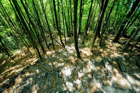 ValchiavennaAcquafraggia Falls, Savogno and DasileA loop around the Acquafraggia Falls: ladders, pools, Lilliputian villages and old mule tracks.
- Grade
- T
- Time
- 3:00h
- Distance
- 5.5km
- Ascent
- 620m
- Rating
- 8/10
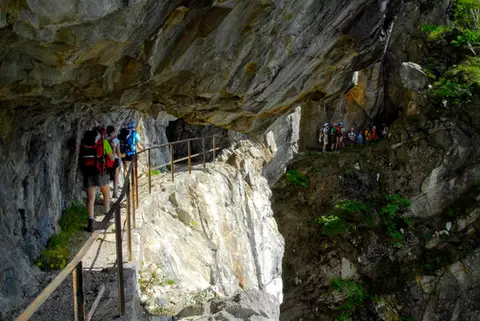 ValchiavennaThe Sentiero del TracciolinoThe Sentiero del Tracciolino: 10km of galleries and tunnels between San Giorgio (Val Codera) and the Val dei Ratti.
- Grade
- E
- Time
- 6:00h
- Distance
- 15km
- Ascent
- 1,000m
- Rating
- 8/10
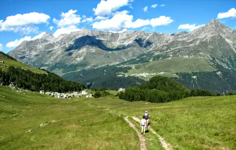 ValchiavennaThe Lago Bianco loop on the Pian dei CavalliOn the balcony of the Valle Spluga: from Starleggia to the Pian dei Cavalli, the Lago Bianco and Monte Bardan.
- Grade
- E
- Time
- 4:00h
- Distance
- 10km
- Ascent
- 830m
- Rating
- 8/10
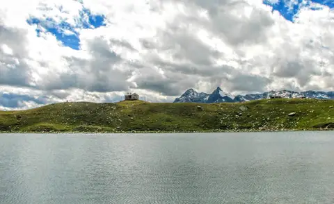 ValchiavennaRifugio Bertacchi at Lago d'EmetTo Lago d'Emet, an almost perfectly circular little lake overlooking the Valle Spluga.
- Grade
- E
- Time
- 5:00h
- Distance
- 11km
- Ascent
- 990m
- Rating
- 8/10
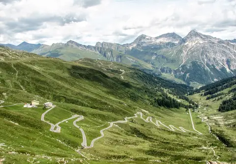 ValchiavennaBivacco del Suretta from the Passo dello SplugaA panoramic loop straddling the Passo dello Spluga, culminating at the Bivacco del Suretta
- Grade
- E
- Time
- 5:00h
- Distance
- 11km
- Ascent
- 850m
- Rating
- 7/10
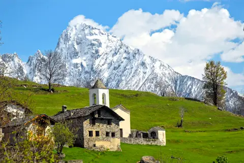 ValchiavennaDaloo and Lagunc, balconies over the ValchiavennaA mule track, a little white church and a unique view over the Piana di Chiavenna.
- Grade
- T
- Time
- 3:00h
- Distance
- 6km
- Ascent
- 650m
- Rating
- 7/10
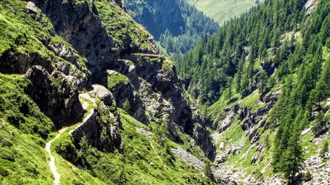 ValchiavennaThe Sentiero del Cardinello (or Via Mala)Carved into the rock of a narrow gorge, the Sentiero del Cardinello is one of the oldest and most spectacular stretches of the Via Spluga.
- Grade
- E
- Time
- 4:30h
- Distance
- 12km
- Ascent
- 660m
- Rating
- 7/10
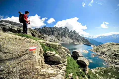 ValchiavennaTour from Lago del Truzzo to Alpe LendineA long loop that takes in all the most magical spots of the remote Valle del Drogo, a side valley of the Valle Spluga.
- Grade
- EE
- Time
- 7:00h
- Distance
- 17km
- Ascent
- 1,190m
- Rating
- 7/10
Questions
The answers come from the hike pages listed here.
Which one is the best, in your view?
Acquafraggia Falls, Savogno and Dasile, The Sentiero del Tracciolino, The Lago Bianco loop on the Pian dei Cavalli and others, all rated 8 out of 10.
Which one is the easiest?
Acquafraggia Falls, Savogno and Dasile: grade T, 3:00 hours of walking and 620 metres of ascent.
How long do these hikes take?
From 3:00 to 7:00 hours of walking, with ascents between 620 and 1,190 metres.
More guides
Other lists that share some of these hikes.