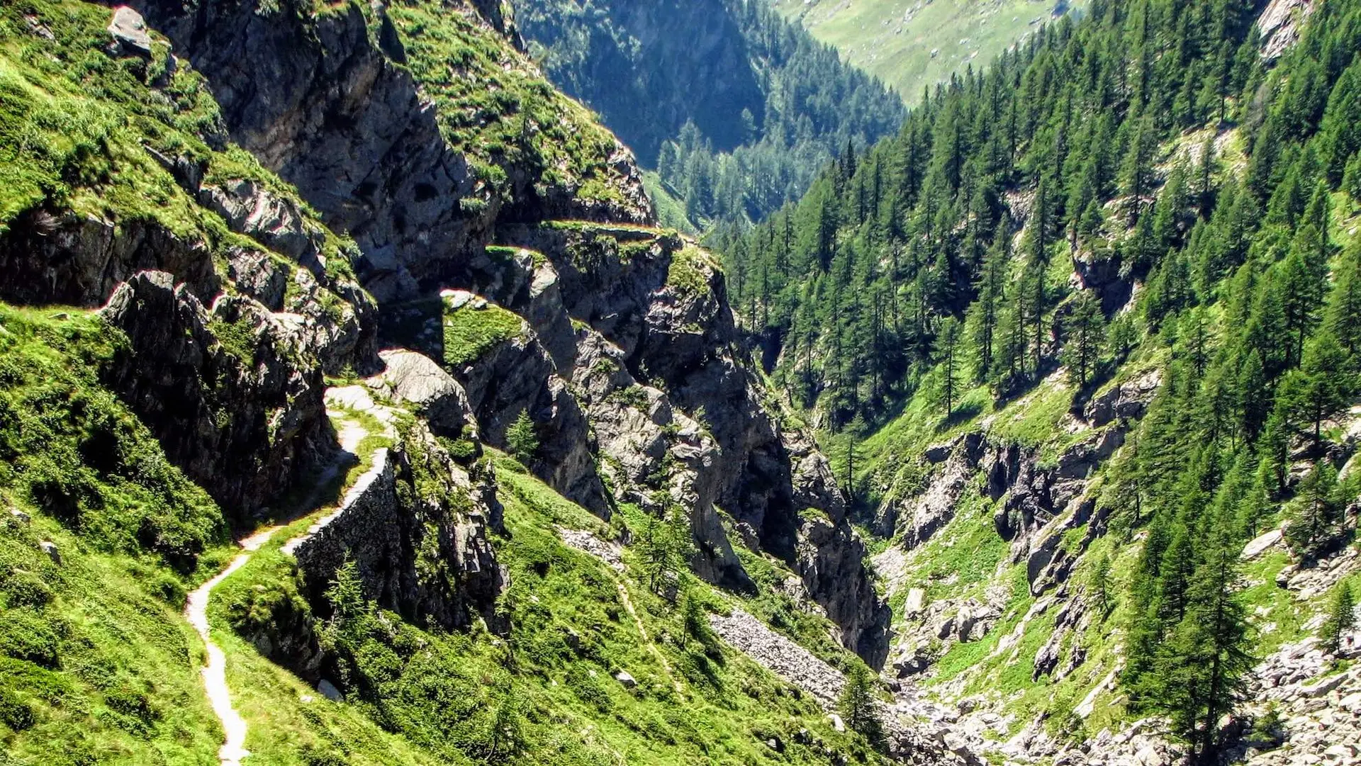
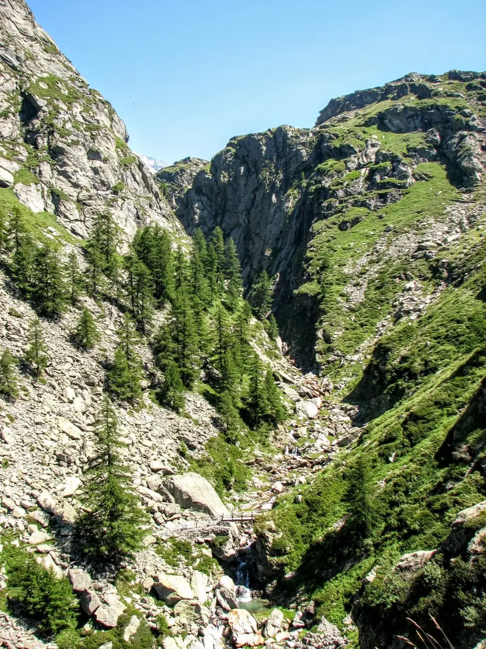
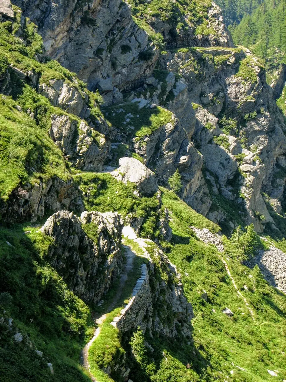
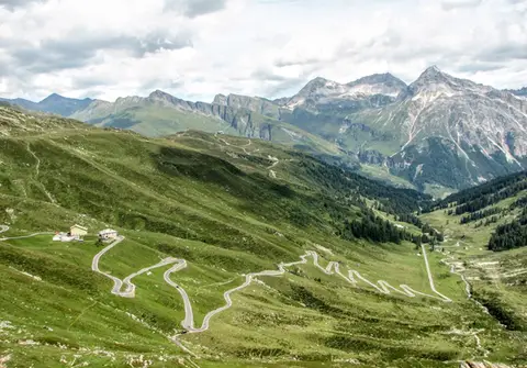
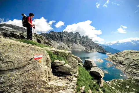
Perhaps already in use in Roman times, the Sentiero del Cardinello is a route carved into the rock that climbs at a gradual gradient up the gorge of the Liro between Isola di Madesimo and Montespluga. The "low" variant of the Via Spluga (as opposed to the "high" variant over the Andossi, opened in the 1200s), it should be imagined with a fair amount of coming and going of people and goods, not just hikers as today.
One of the most notable moments in the history of the Sentiero del Cardinello came in December 1800, when the Macdonald Division of Napoleon's army came down into Italy through this gorge. 15,000 men and soldiers, animals and weapons, on a path little more than a metre wide, in the depths of winter: you can imagine how many people (and beasts) lost their lives, struck by avalanches or accidentally pushed into the gorge, which is no coincidence given the path's second name, "Via Mala".
We start from Isola di Madesimo (m1268). You might well ask "Isola of what?": the original name was "Isolato".
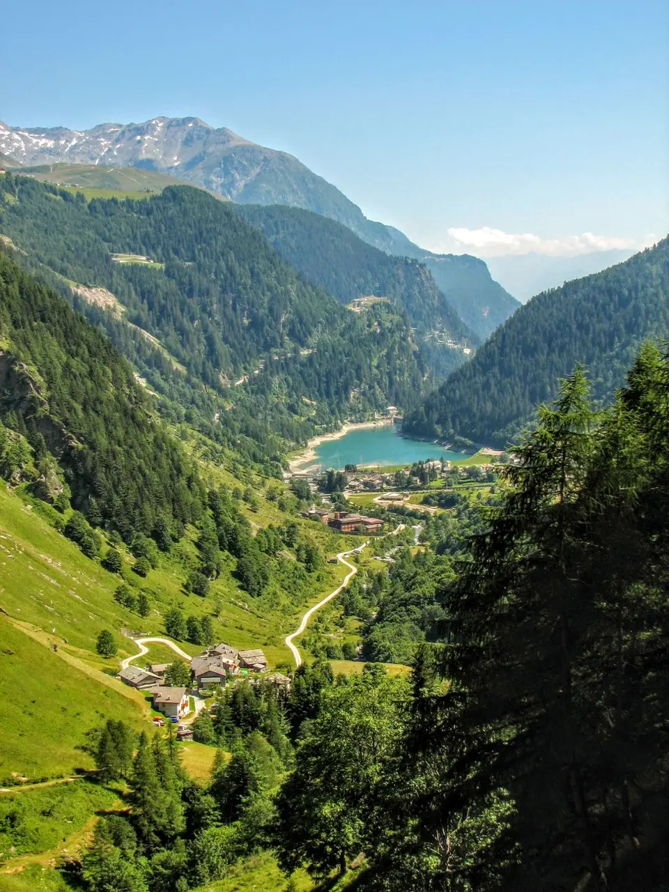
Keeping to the right-hand side of the valley, we climb through meadows to Torni and on up to where the valley turns right at 90 degrees. Here the gorge begins to narrow, and the path becomes more airy and spectacular with every step, without ever becoming dangerous. It feels like an older, more Alpine version of the better-known Sentiero del Tracciolino.
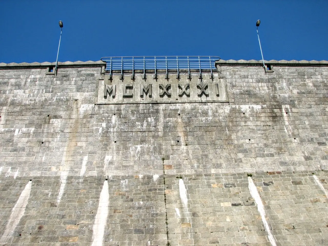
When we see the great wall of the Montespluga dam, we are almost at the end of the Via Mala. We cross the gorge and come out onto the Andossi, where we can reach the Rifugio Stuetta (m1870, 2.15 hours from Isola) or the village of Montespluga.
For the descent we take the Cardinello again, then at a junction roughly halfway along the gorge we leave the Sentiero del Cardinello, reach the bottom of the gorge and cross to the opposite side of the valley. We return to Isola (2 hours) on a fine path, passing through the Alpine hamlets of Soste, Rasdeglia and Mottaletta.