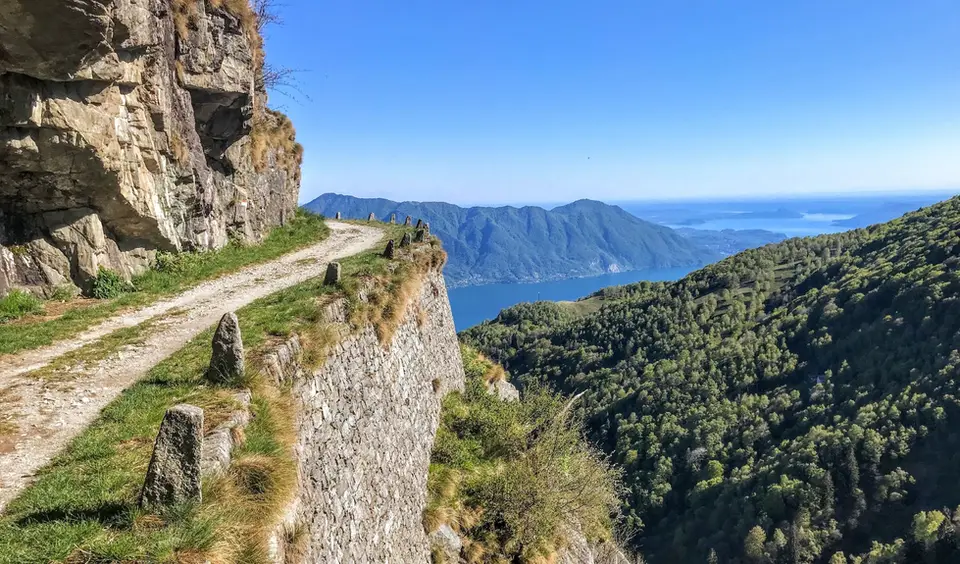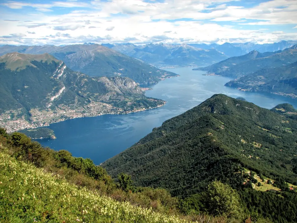
April is, in our view, the best month for the Prealps: the meadows turn green again, the woods have not yet closed the view of the lakes, and the days are long enough for full hikes without the hurry of winter. The higher summits above Lake Como, such as the ridge between Monte Grona and Bregagno, usually become walkable, and Lago di Cama in Switzerland stops being a gamble, although in a snowy year snow can linger on shaded stretches. It is also the month when the high mountains are most deceptive: from the valley floor it looks like spring, while up high it is still winter.
The Sentiero del Tracciolino, ten kilometres of galleries and tunnels between San Giorgio in Val Codera and Val dei Ratti, is one of our favourite spring hikes, together with the Monte San Primo loop and Monte Cornizzolo via San Pietro al Monte. In Valchiavenna, Daloo and Lagunc form a balcony over the Piana di Chiavenna reached by mule track, while the Sentiero del Cardinello climbs through the narrowest and oldest gorge on the Via Spluga. If you are short of time, Alpe Giumello and Monte Croce di Muggio are still an hour and a half above Lake Como.
Good to know
For centuries the Cardinello was the most feared section of the Splügen mule track, until the carriage road of 1823 bypassed it; today the pass road closes for the winter and reopens in spring, by agreement between the Italian and Swiss authorities, on dates that depend on the snow: in 2026 it reopened on 24 April, while in other years it has slipped into May. It is worth knowing if you plan to go up into upper Valle Spluga, because the path can be clear before the road or the other way round.
In April the danger of wet-snow avalanches grows over the course of the day with warming and sunshine, as every spring bulletin reminds us, and the early morning is usually the safest time. For the hikes on this page that means starting early when the route crosses gullies or higher sections that still hold snow, and bearing in mind that even an easy path can have a delicate crossing until late in the season.
The hikes
By our rating, highest first. Browse them as photographs, as a list with all the numbers or on the map.
 Lake ComoMonte San Primo and Rifugio Martina loopAlong the most panoramic ridge of the Triangolo Lariano, with lunch at the historic Rifugio Martina.
- Grade
- E
- Time
- 3:00h
- Distance
- 7km
- Ascent
- 550m
- Rating
- 8/10
 Lake ComoMonte Grona and Monte BregagnoAlong the grassy ridge between Monte Grona and Bregagno, face to face with Lake Como.
- Grade
- E
- Time
- 6:00h
- Distance
- 13km
- Ascent
- 1,120m
- Rating
- 8/10
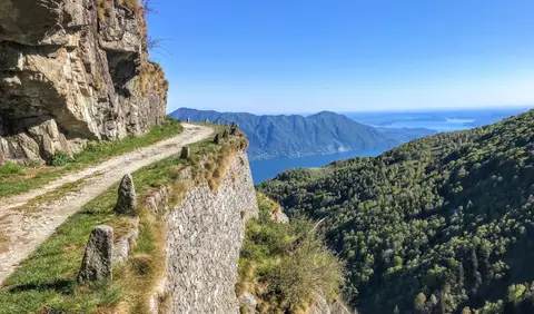 PiedmontCima di Morissolo and the Linea Cadorna fortificationsA summit dropping sheer to Lake Maggiore, just 30 minutes' walk away, with a maze of Linea Cadorna tunnels.
- Grade
- T
- Time
- 1:30h
- Distance
- 3.5km
- Ascent
- 170m
- Rating
- 8/10
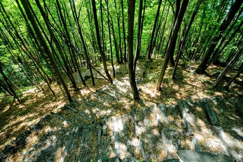 ValchiavennaAcquafraggia Falls, Savogno and DasileA loop around the Acquafraggia Falls: ladders, pools, Lilliputian villages and old mule tracks.
- Grade
- T
- Time
- 3:00h
- Distance
- 5.5km
- Ascent
- 620m
- Rating
- 8/10
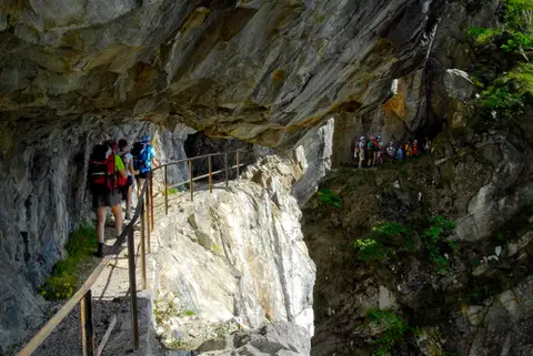 ValchiavennaThe Sentiero del TracciolinoThe Sentiero del Tracciolino: 10km of galleries and tunnels between San Giorgio (Val Codera) and the Val dei Ratti.
- Grade
- E
- Time
- 6:00h
- Distance
- 15km
- Ascent
- 1,000m
- Rating
- 8/10
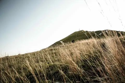 Lake ComoTo Monte Cornizzolo by way of San Pietro al MonteOne of the most panoramic summits of the Triangolo Lariano, by way of a Romanesque abbey.
- Grade
- E
- Time
- 5:00h
- Distance
- 11km
- Ascent
- 1,110m
- Rating
- 7/10
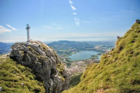 Lake ComoTo Monte Moregallo by way of Sant'IsidoroA hike to Monte Moregallo, an enjoyable hill close to Lecco and the Corni di Canzo.
- Grade
- E
- Time
- 4:30h
- Distance
- 8.5km
- Ascent
- 920m
- Rating
- 7/10
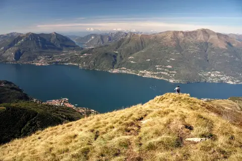 Lake ComoAlpe Giumello and Monte Croce di MuggioA short, easy hike to a panoramic summit high above Lake Como
- Grade
- T
- Time
- 1:30h
- Distance
- 3.5km
- Ascent
- 220m
- Rating
- 7/10
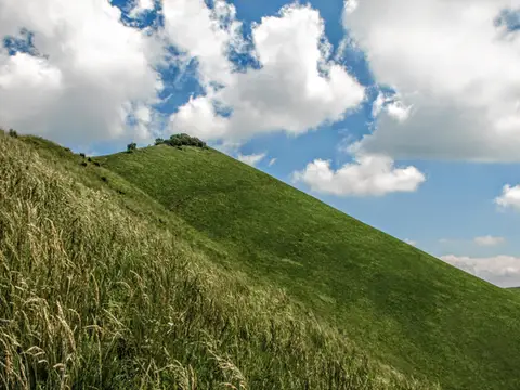 Lake ComoThe Boletto and Bolettone loopA loop along the grassy ridges of Monte Boletto and Monte Bolettone, squeezed between the plain and Lake Como
- Grade
- T
- Time
- 5:00h
- Distance
- 15km
- Ascent
- 740m
- Rating
- 7/10
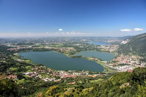 Lake ComoThe protected path on Monte BarroA slightly more entertaining alternative to the normal ascent of Monte Barro.
- Grade
- EE
- Time
- 2:00h
- Distance
- 3.5km
- Ascent
- 310m
- Rating
- 7/10
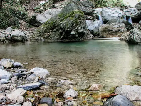 Lake ComoVia del Fiume in Val d'EraA protected path among little waterfalls and pools, in a deep, narrow valley at the foot of the Grigne.
- Grade
- EE
- Time
- 5:00h
- Distance
- 12km
- Ascent
- 710m
- Rating
- 7/10
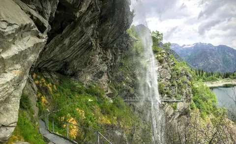 PiedmontThe Valle Antrona loop: Lago Antrona and Lago di CampliccioliA short hike around the lakes of Antrona and Campliccioli, in the lower Valle Antrona.
- Grade
- T
- Time
- 3:00h
- Distance
- 10km
- Ascent
- 400m
- Rating
- 7/10
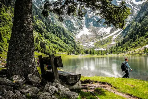 SwitzerlandLago di Cama in the Val di CamaA small Alpine lake set in an amphitheatre of peaks.
- Grade
- T
- Time
- 6:00h
- Distance
- 13km
- Ascent
- 940m
- Rating
- 7/10
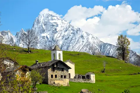 ValchiavennaDaloo and Lagunc, balconies over the ValchiavennaA mule track, a little white church and a unique view over the Piana di Chiavenna.
- Grade
- T
- Time
- 3:00h
- Distance
- 6km
- Ascent
- 650m
- Rating
- 7/10
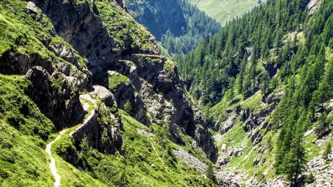 ValchiavennaThe Sentiero del Cardinello (or Via Mala)Carved into the rock of a narrow gorge, the Sentiero del Cardinello is one of the oldest and most spectacular stretches of the Via Spluga.
- Grade
- E
- Time
- 4:30h
- Distance
- 12km
- Ascent
- 660m
- Rating
- 7/10
Questions
The answers come from the hike pages listed here.
Which one is the best, in your view?
Monte San Primo and Rifugio Martina loop, Monte Grona and Monte Bregagno, Cima di Morissolo and the Linea Cadorna fortifications and others, all rated 8 out of 10.
Which one is the easiest?
Cima di Morissolo and the Linea Cadorna fortifications: grade T, 1:30 hours of walking and 170 metres of ascent.
How long do these hikes take?
From 1:30 to 6:00 hours of walking, with ascents between 170 and 1,120 metres.
More guides
Other lists that share some of these hikes.