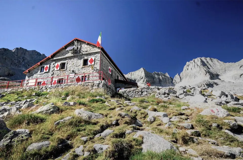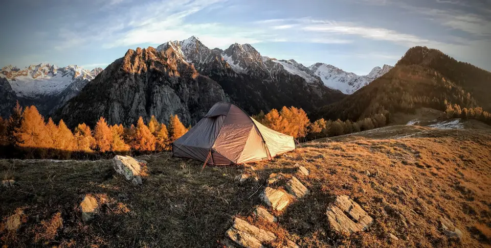
A night at Alpe Granda, on the ridge between Valtellina and Val Masino.
Wild camping in the mountains is a subtle practice: not always legal, often tolerated, hardly ever comfortable, but when it works, it is among the most intense experiences you can have.
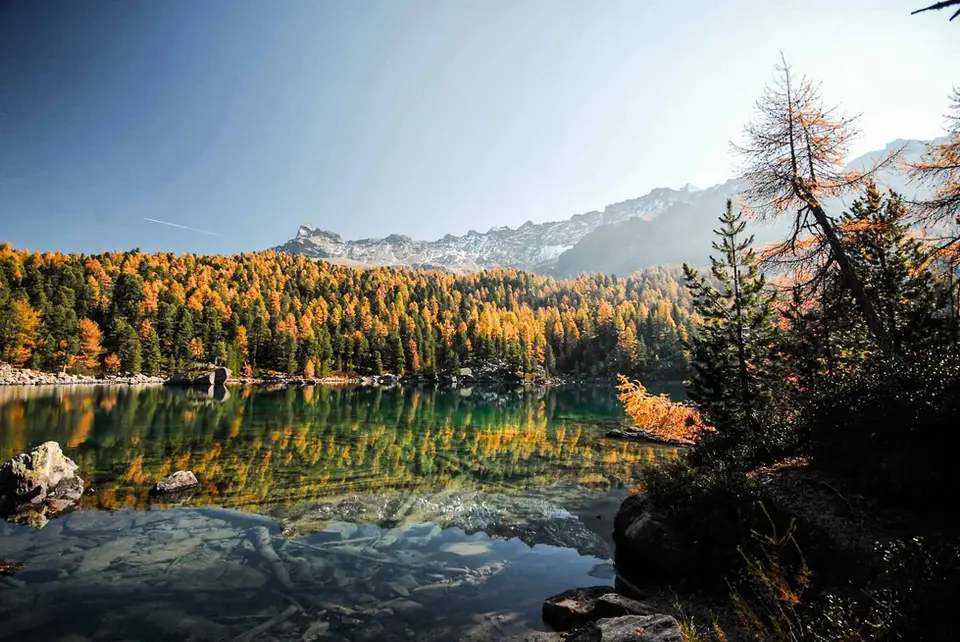
In general, we recommend always camping above 2,000 metres, away from mountain huts or other buildings, on grassy flats with springs nearby and in landscapes worth a night outdoors (on the shore of an alpine lake, on a knoll with a view, or on a high plateau). It is essential to have a thorough knowledge of the mountains and of your own technical gear, and it bears repeating: the mountains at night are much colder than you think, and even in summer you need sleeping bags rated to 0 or 5 degrees.
And the basic rules: discretion, no fires, leave at dawn and zero visual or environmental impact.
This selection is not designed specifically for camping, but it gathers routes that lend themselves well to a trip with a tent, for their setting, altitude, greenery and streams, distance from mountain huts, and the absence of specific bans (many national parks, for example, strictly prohibit camping).
The rules, region by region
The rules change at every border, and sometimes at every municipality. In the Aosta Valley wild camping is not permitted, but regional law allows bivouacking in a tent above 2,500 metres from sunset to sunrise: one night only, with the tent pitched in the evening and struck in the morning, while staying several days in the same place counts as camping. In the Gran Paradiso National Park, on the other hand, tents are banned everywhere outside designated areas, which is a good example of park regulations being stricter than regional law. Elsewhere in Italy it pays to check region by region and often municipality by municipality, because local ordinances change and are not always easy to find.
In Switzerland the Swiss Alpine Club generally regards sites above the tree line as environmentally acceptable, but excludes protected areas where camping is forbidden or access is restricted, such as the National Park, nature reserves, federal hunting reserves and wildlife rest zones, all of which can be checked on the federal map at map.geo.admin.ch. Cantons and municipalities can add restrictions of their own, and alpine pastures are private land, so asking the herder before you pitch is always a good idea. Specialist guides speak of a single night in one place and small groups, which is the spirit of a bivouac rather than a campsite, and this applies to the Aletsch as much as to Bregaglia and Poschiavo: the rules vary and must be checked before you set off.
The hikes
By our rating, highest first. Browse them as photographs, as a list with all the numbers or on the map.
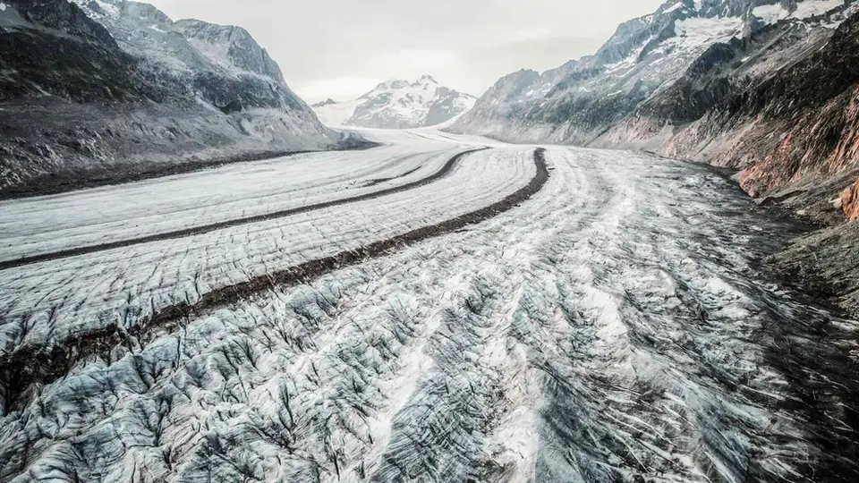
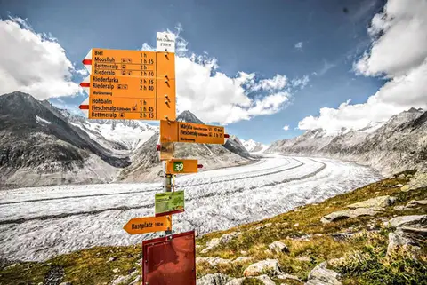 SwitzerlandAletsch Glacier (Aletschgletscher)The most classic walk to the Aletsch Glacier, the largest glacier in the Alps.
- Grade
- T
- Time
- 4:30h
- Distance
- 14km
- Ascent
- 460m
- Rating
- 10/10
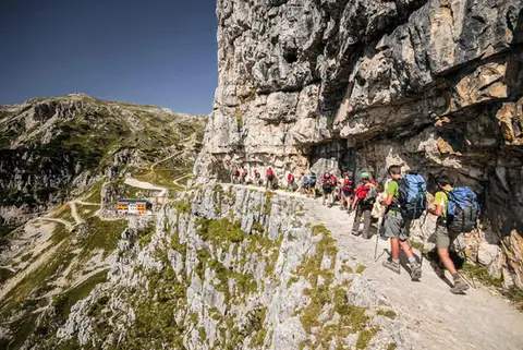 DolomitesThe Strada delle 52 Gallerie on the PasubioA visit to Rifugio Achille Papa and the Zona Sacra del Pasubio, by way of the spectacular Strada delle 52 Gallerie
- Grade
- E
- Time
- 7:00h
- Distance
- 17km
- Ascent
- 1,130m
- Rating
- 9/10
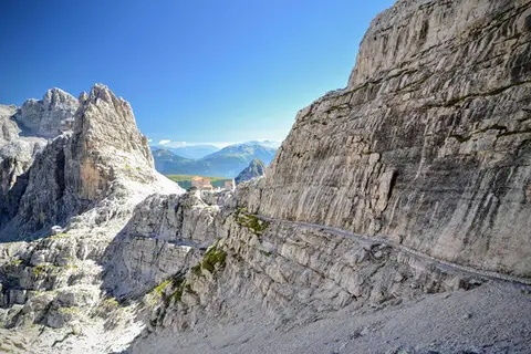 DolomitesCima Brenta tour from Molveno (2 days)A two-day loop to discover the remarkable high balcony of the Brenta Dolomites.
- Grade
- E
- Time
- 14:00h
- Distance
- 33km
- Ascent
- 2,390m
- Rating
- 9/10
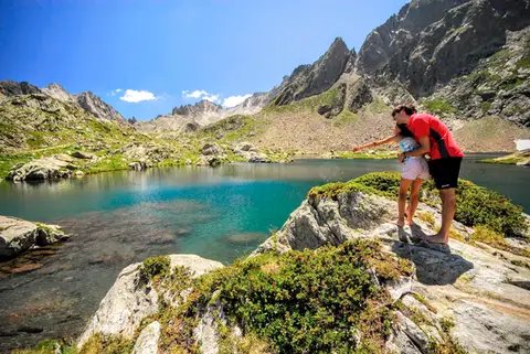 PiedmontRifugio Valasco, Rifugio Questa and the military mule tracks of ValscuraIn the upper Valle Gesso: remarkable military roads, the crystal-clear lakes of Valscura and Claus, and two historic mountain huts.
- Grade
- E
- Time
- 7:00h
- Distance
- 20km
- Ascent
- 1,020m
- Rating
- 9/10
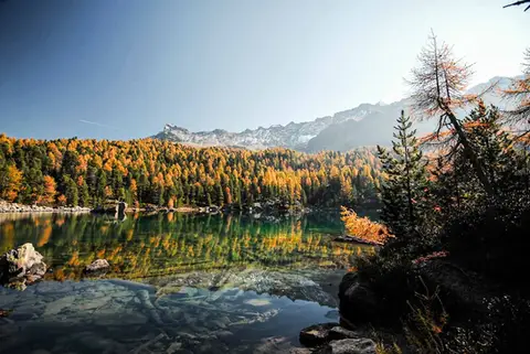 SwitzerlandLago di Saoseo and Lago Viola in the Val di CampoTwo gems of lakes in a valley dotted with alpine pastures. At its best between October and November.
- Grade
- T
- Time
- 4:30h
- Distance
- 13km
- Ascent
- 550m
- Rating
- 9/10
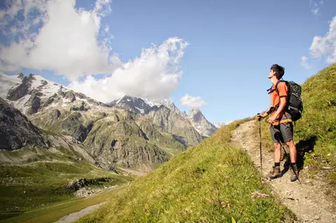 Aosta ValleyMonte Fortin and Rifugio Elisabetta Soldini in Val VenyA sensational viewing terrace over Monte Bianco and the Himalayan-looking Miage Glacier.
- Grade
- E
- Time
- 7:30h
- Distance
- 21km
- Ascent
- 1,190m
- Rating
- 9/10
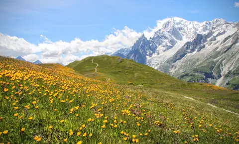 Aosta ValleyRifugio Bertone and Testa della Tronche, a balcony over Monte BiancoIn Val Ferret, on a grassy ridge face to face with the giants of Monte Bianco.
- Grade
- E
- Time
- 6:30h
- Distance
- 16km
- Ascent
- 1,010m
- Rating
- 9/10
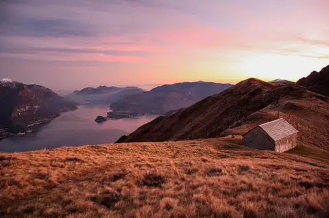 Lake ComoMonte Grona and Monte BregagnoAlong the grassy ridge between Monte Grona and Bregagno, face to face with Lake Como.
- Grade
- E
- Time
- 6:00h
- Distance
- 13km
- Ascent
- 1,120m
- Rating
- 8/10
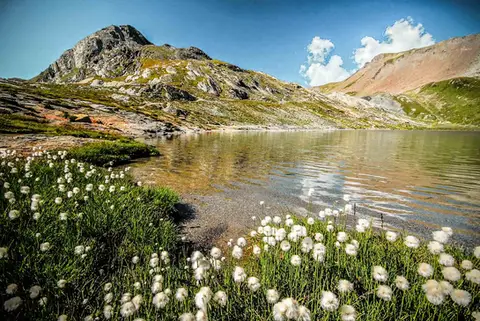 SwitzerlandLago Lunghin and Piz LunghinA lake, a peak and a pass, all sharing a breathtaking view over the Bernina group and the Lago di Sils.
- Grade
- E
- Time
- 6:30h
- Distance
- 16km
- Ascent
- 1,030m
- Rating
- 8/10
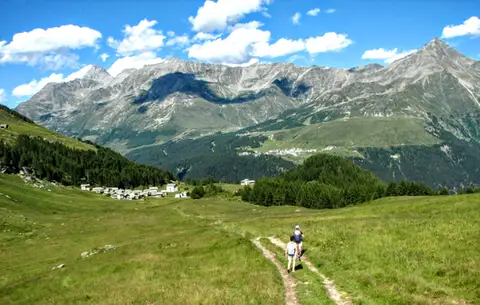 ValchiavennaThe Lago Bianco loop on the Pian dei CavalliOn the balcony of the Valle Spluga: from Starleggia to the Pian dei Cavalli, the Lago Bianco and Monte Bardan.
- Grade
- E
- Time
- 4:00h
- Distance
- 10km
- Ascent
- 830m
- Rating
- 8/10
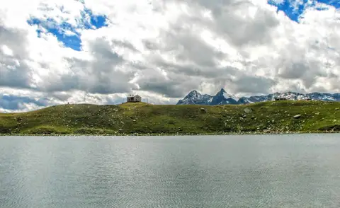 ValchiavennaRifugio Bertacchi at Lago d'EmetTo Lago d'Emet, an almost perfectly circular little lake overlooking the Valle Spluga.
- Grade
- E
- Time
- 5:00h
- Distance
- 11km
- Ascent
- 990m
- Rating
- 8/10
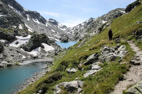 Aosta ValleyLakes, glaciers and waterfalls in the Valle del RutorA hike to Rifugio Deffeyes past the Rutor Falls, face to face with the Rutor Glacier.
- Grade
- E
- Time
- 7:30h
- Distance
- 20km
- Ascent
- 1,070m
- Rating
- 8/10
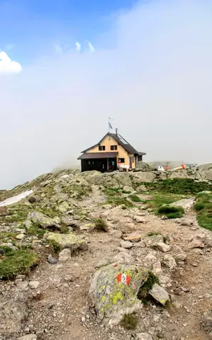 ValtellinaLoop of Rifugio Benigni and the Trona and Zancone lakesA long route in the upper Val Gerola, taking in a mountain hut, 4 lakes and a few ibex.
- Grade
- E
- Time
- 6:00h
- Distance
- 15km
- Ascent
- 970m
- Rating
- 8/10
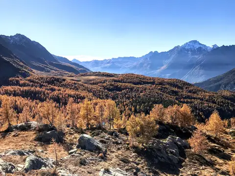 ValtellinaRifugio Cristina, a balcony over the larch woods of the ValmalencoA short walk to Rifugio Cristina at Alpe Prabello, at the foot of Pizzo Scalino.
- Grade
- T
- Time
- 2:00h
- Distance
- 6.5km
- Ascent
- 230m
- Rating
- 8/10
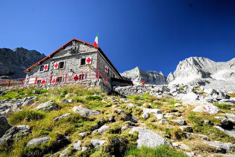 ValtellinaRifugio Gianetti in Val MasinoAn essential stop in the mountains of Lombardy, face to face with the granite giants of Val Masino.
- Grade
- E/EE
- Time
- 7:30h
- Distance
- 15km
- Ascent
- 1,480m
- Rating
- 8/10
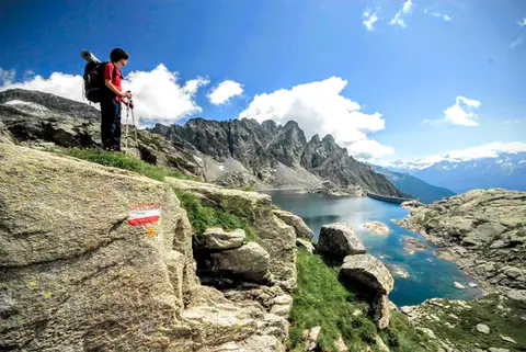 ValchiavennaTour from Lago del Truzzo to Alpe LendineA long loop that takes in all the most magical spots of the remote Valle del Drogo, a side valley of the Valle Spluga.
- Grade
- EE
- Time
- 7:00h
- Distance
- 17km
- Ascent
- 1,190m
- Rating
- 7/10
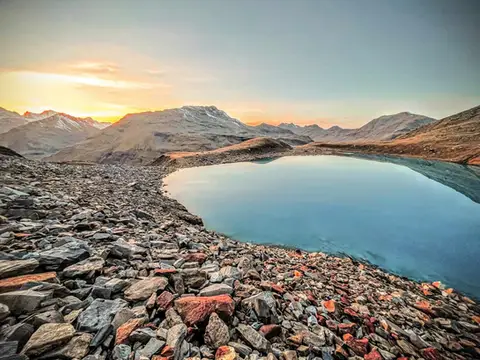 Valtellina · SwitzerlandLago Vago, the blue pearl of LivignoA short hike to Lago Vago, a Caribbean-looking tarn so blue it seems fake.
- Grade
- E
- Time
- 3:00h
- Distance
- 6km
- Ascent
- 520m
- Rating
- 7/10
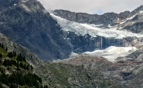 ValtellinaRifugio Bignami and the Marson Glacier Trail at the FellariaIn the upper Valmalenco, face to face with the Fellaria Glacier.
- Grade
- E
- Time
- 5:30h
- Distance
- 15km
- Ascent
- 670m
- Rating
- 7/10
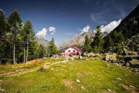 ValtellinaRifugio Gerli Porro and the Ventina Glacier TrailDiscovering Alpe Ventina, on the trail of a retreating glacier.
- Grade
- T
- Time
- 3:30h
- Distance
- 10km
- Ascent
- 700m
- Rating
- 7/10
Questions
The answers come from the hike pages listed here.
Which one is the best, in your view?
Aletsch Glacier (Aletschgletscher), which we rated 10 out of 10.
Which one is the easiest?
Rifugio Cristina, a balcony over the larch woods of the Valmalenco: grade T, 2:00 hours of walking and 230 metres of ascent.
How long do these hikes take?
From 2:00 to 14:00 hours of walking, with ascents between 230 and 2,390 metres.
More guides
Other lists that share some of these hikes.