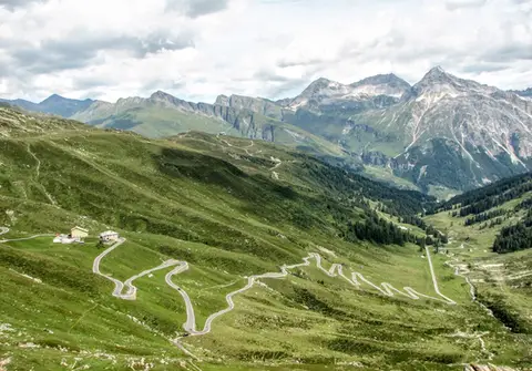
If you want to visit the Pian dei Cavalli, the quickest way in is the mule track that starts from the village of Starleggia; this choice not only spares our legs a few hundred metres of ascent, but also makes for a fine loop, returning through the Valle di Starleggia.
So we drive up the steep slopes above Campodolcino until we reach Starleggia (1565 m). Already from here the view is superb (the Pizzo Groppera rises right in front of us, with Campodolcino below).
We set off, first across meadows laden with the blooms of red stems, then through a small wood. The climb ends near a chapel and a 17th-century bell tower, built on the edge of the rock step, at a distance from the main body of the church of San Sisto, so that the sound of the bell would also reach the village lower down.
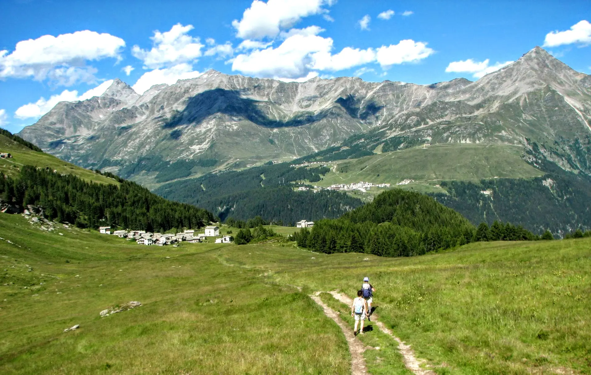
Before us the Valle di Starleggia opens out majestically, a green basin dotted with farmhouses and huts; the pyramid-shaped bulk of the Pizzo Quadro dominates the scene. A short distance away are the houses of San Sisto. Without going as far as them, we look for the path that climbs again through the sparse woods on the right and leads us among the scattered huts first of Alpe Toiana, then of Alpe Zocana. As the views widen (the Stella and the Groppera bow to the bulk of the newcomers, the Pizzo dei Piani and the Ferrè), horses appear around us, the animals that give their name to the place we are entering.
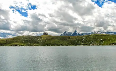
We can cross the Pian dei Cavalli in two ways: the first is to follow the path beside the stream, at the foot of Monte Tignoso, which lets us see the karst formations of the Valle dei Buoi; the other is to walk along the northern edge of the plain, following the "visitor" route of the information panels. Either way, we arrive at the splendid Lago Bianco, cradled by the boulder fields that come down from Monte Bardan (those following the panels will have to turn sharply south-west and climb over a kilometre-long low wall to reach the lake).
In the clear waters of the lake we can see the whole Valle Spluga reflected: the Pizzo dei Piani and the Pizzo Ferrè still stand out, while the Suretta group, the Emet and the Groppera peer over the grassy ridges that enclose the lake.
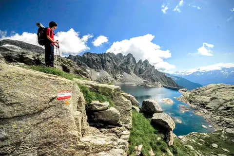
For those who want a little more effort, from the Lago Bianco you can climb to the 2812 metres of Monte Bardan. To gain the broad ridge we take the faint path that leads away from the lake to the south-west. From 2600 metres, having finally reached the Italian-Swiss border, the climb becomes monotonous; the ridge is long, broad and too gently inclined. Then, suddenly, there it is: spacious, welcoming, a high-altitude football pitch; on its edge, a cairn with a modest wooden cross. A little further on, still on this broad high-altitude esplanade, is the Cima di Barna (2862 m).
The descent, by the same route, brings us back to the Lago Bianco.
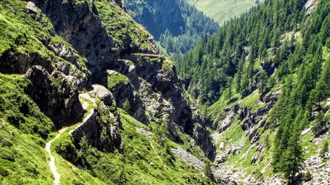
From the Lago Bianco we continue the loop on the path that winds, almost on the level, to a small col. Here the descent into the Valle di Starleggia begins: the path drops steeply among rhododendron bushes, while below the various alpine pastures (Gusone, Morone, San Sisto) show themselves off, neatly arranged in the green basin. And once we get there, the old woman will always know how to persuade us to buy her round of local cheese.
With our rucksacks decidedly heavier we reach San Sisto, where we pick up the path we took in the morning, and soon we are back at Starleggia.