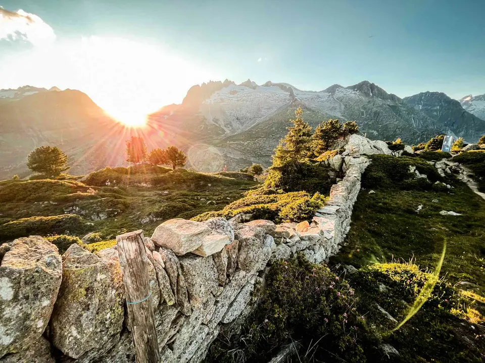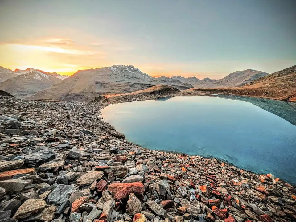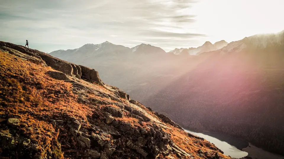
Not every day in the mountains begins at dawn, and not every one has to end at sunset. Here we have gathered the hikes that take no more than four hours of walking, breaks excluded: enough to set off after breakfast and be back for lunch, to fit an outing into a trip that is mostly about something else, or to leave a generous margin when the forecast promises afternoon storms. Four hours do not necessarily mean little climbing, though, and several of these hikes gain more than 600 metres in a short distance.
The shortest are Cima di Morissolo above Lake Maggiore and Alpe Giumello above Lake Como, an hour and a half each, followed by the protected path on Monte Barro, Rifugio Cristina in Valmalenco and the igloo bivouac on Monte Due Mani. Around the three-hour mark are some Lombard classics: the Piani Resinelli to Rifugio Rosalba, the Monte San Primo loop, the Acquafraggia waterfalls with Savogno and Dasile, the balconies of Daloo and Lagunc above the Valchiavenna and Lago Vago near Livigno. Right at the four-hour limit are the Rochers de Naye above Montreux, the balcony path from Silvaplana to the Maloja Pass and the Lago Bianco loop on the Pian dei Cavalli, which with 830 metres of ascent is the most demanding of the group.
Good to know
The times we give are actual walking times, without stops, and like all estimates they should be read with some flexibility. The German Alpine Club, DAV, suggests a useful rule of thumb for getting an idea before you set off: in one hour an average hiker climbs about 300 metres, descends 500 or covers 4 kilometres on the flat; you work out the time for distance and the time for height separately, halve the smaller figure and add it to the larger. Applied to a stretch of 6 kilometres with 500 metres of ascent, the rule gives about two and a half hours, which is a good way to check whether a route really fits into the morning you have.
A half day also has a safety advantage. The Sicuri in Montagna campaign, coordinated by the Italian mountain rescue service with the Italian Alpine Club, advises reading the local weather bulletins and setting off early, because in summer thunderstorms form more often in the afternoon: a three-hour hike started early is usually over before the sky changes its mind.
The hikes
By our rating, highest first. Browse them as photographs, as a list with all the numbers or on the map.
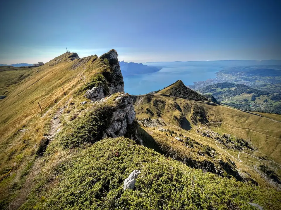
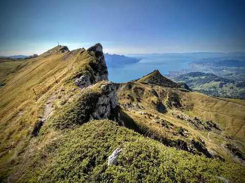 SwitzerlandTo the Rochers de Naye, a balcony over Lake GenevaThe 2000-metre peak closest to Lake Geneva: half green plateau, half vertical rock pinnacle.
- Grade
- E+
- Time
- 4:00h
- Distance
- 10km
- Ascent
- 550m
- Rating
- 9/10
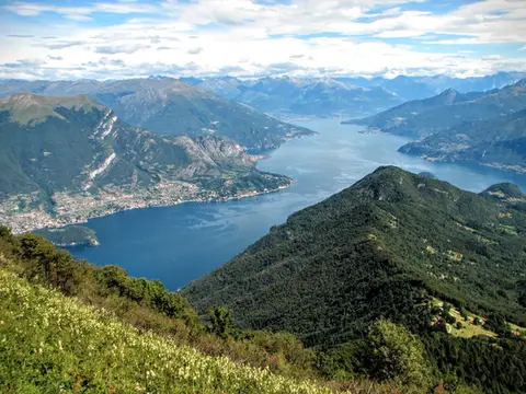 Lake ComoMonte San Primo and Rifugio Martina loopAlong the most panoramic ridge of the Triangolo Lariano, with lunch at the historic Rifugio Martina.
- Grade
- E
- Time
- 3:00h
- Distance
- 7km
- Ascent
- 550m
- Rating
- 8/10
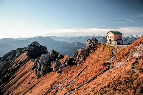 Lake ComoFrom Piani Resinelli to Rifugio RosalbaOne of the great classics of the Lombard Prealps. Dolomite-like views, an hour's drive from Milan.
- Grade
- E
- Time
- 3:00h
- Distance
- 6km
- Ascent
- 530m
- Rating
- 8/10
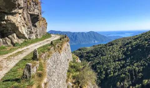 PiedmontCima di Morissolo and the Linea Cadorna fortificationsA summit dropping sheer to Lake Maggiore, just 30 minutes' walk away, with a maze of Linea Cadorna tunnels.
- Grade
- T
- Time
- 1:30h
- Distance
- 3.5km
- Ascent
- 170m
- Rating
- 8/10
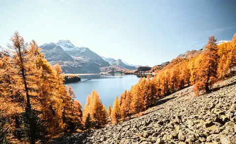 SwitzerlandThe balcony path from Silvaplana to the Maloja PassAn easy balcony path dominated by breathtaking views of Lake Sils and Lake Silvaplana, with the Bernina and the peaks of the Bregaglia in the background.
- Grade
- T
- Time
- 4:00h
- Distance
- 13km
- Ascent
- 470m
- Rating
- 8/10
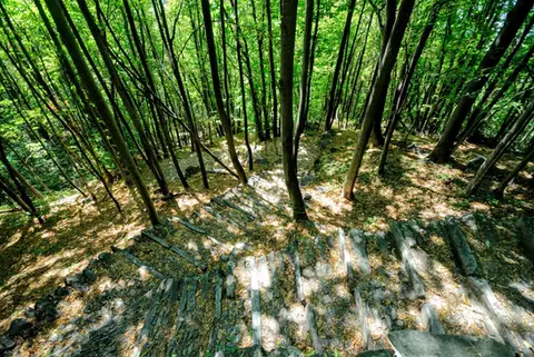 ValchiavennaAcquafraggia Falls, Savogno and DasileA loop around the Acquafraggia Falls: ladders, pools, Lilliputian villages and old mule tracks.
- Grade
- T
- Time
- 3:00h
- Distance
- 5.5km
- Ascent
- 620m
- Rating
- 8/10
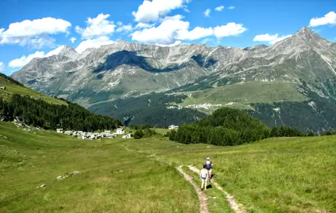 ValchiavennaThe Lago Bianco loop on the Pian dei CavalliOn the balcony of the Valle Spluga: from Starleggia to the Pian dei Cavalli, the Lago Bianco and Monte Bardan.
- Grade
- E
- Time
- 4:00h
- Distance
- 10km
- Ascent
- 830m
- Rating
- 8/10
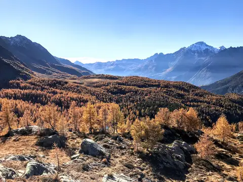 ValtellinaRifugio Cristina, a balcony over the larch woods of the ValmalencoA short walk to Rifugio Cristina at Alpe Prabello, at the foot of Pizzo Scalino.
- Grade
- T
- Time
- 2:00h
- Distance
- 6.5km
- Ascent
- 230m
- Rating
- 8/10
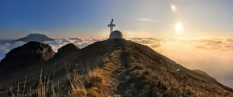 Lake ComoTo the igloo bivouac on Monte Due ManiAn easy summit facing the Grigne, ideal for a quick sunset outing from Lecco or Milan.
- Grade
- E
- Time
- 2:30h
- Distance
- 5km
- Ascent
- 500m
- Rating
- 7/10
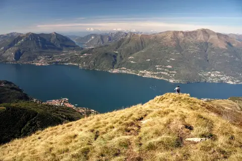 Lake ComoAlpe Giumello and Monte Croce di MuggioA short, easy hike to a panoramic summit high above Lake Como
- Grade
- T
- Time
- 1:30h
- Distance
- 3.5km
- Ascent
- 220m
- Rating
- 7/10
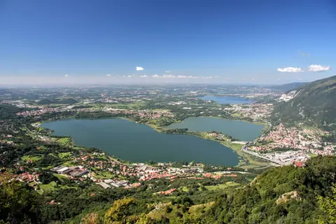 Lake ComoThe protected path on Monte BarroA slightly more entertaining alternative to the normal ascent of Monte Barro.
- Grade
- EE
- Time
- 2:00h
- Distance
- 3.5km
- Ascent
- 310m
- Rating
- 7/10
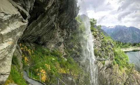 PiedmontThe Valle Antrona loop: Lago Antrona and Lago di CampliccioliA short hike around the lakes of Antrona and Campliccioli, in the lower Valle Antrona.
- Grade
- T
- Time
- 3:00h
- Distance
- 10km
- Ascent
- 400m
- Rating
- 7/10
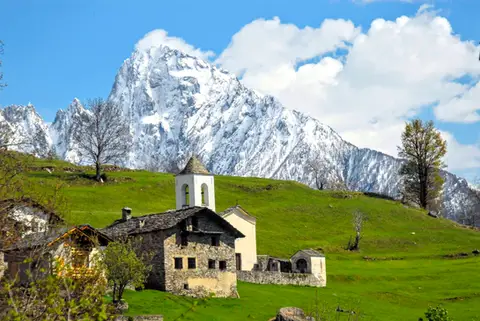 ValchiavennaDaloo and Lagunc, balconies over the ValchiavennaA mule track, a little white church and a unique view over the Piana di Chiavenna.
- Grade
- T
- Time
- 3:00h
- Distance
- 6km
- Ascent
- 650m
- Rating
- 7/10
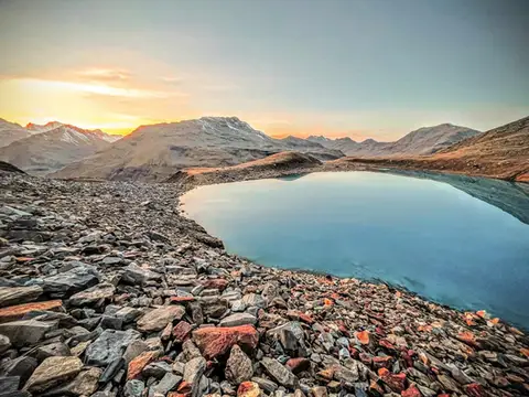 Valtellina · SwitzerlandLago Vago, the blue pearl of LivignoA short hike to Lago Vago, a Caribbean-looking tarn so blue it seems fake.
- Grade
- E
- Time
- 3:00h
- Distance
- 6km
- Ascent
- 520m
- Rating
- 7/10
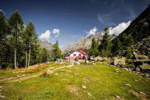 ValtellinaRifugio Gerli Porro and the Ventina Glacier TrailDiscovering Alpe Ventina, on the trail of a retreating glacier.
- Grade
- T
- Time
- 3:30h
- Distance
- 10km
- Ascent
- 700m
- Rating
- 7/10
Questions
The answers come from the hike pages listed here.
Which one is the best, in your view?
To the Rochers de Naye, a balcony over Lake Geneva, which we rated 9 out of 10.
Which one is the easiest?
Cima di Morissolo and the Linea Cadorna fortifications: grade T, 1:30 hours of walking and 170 metres of ascent.
How long do these hikes take?
From 1:30 to 4:00 hours of walking, with ascents between 170 and 830 metres.
More guides
Other lists that share some of these hikes.