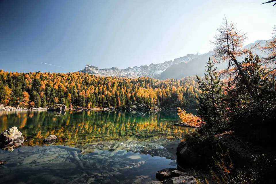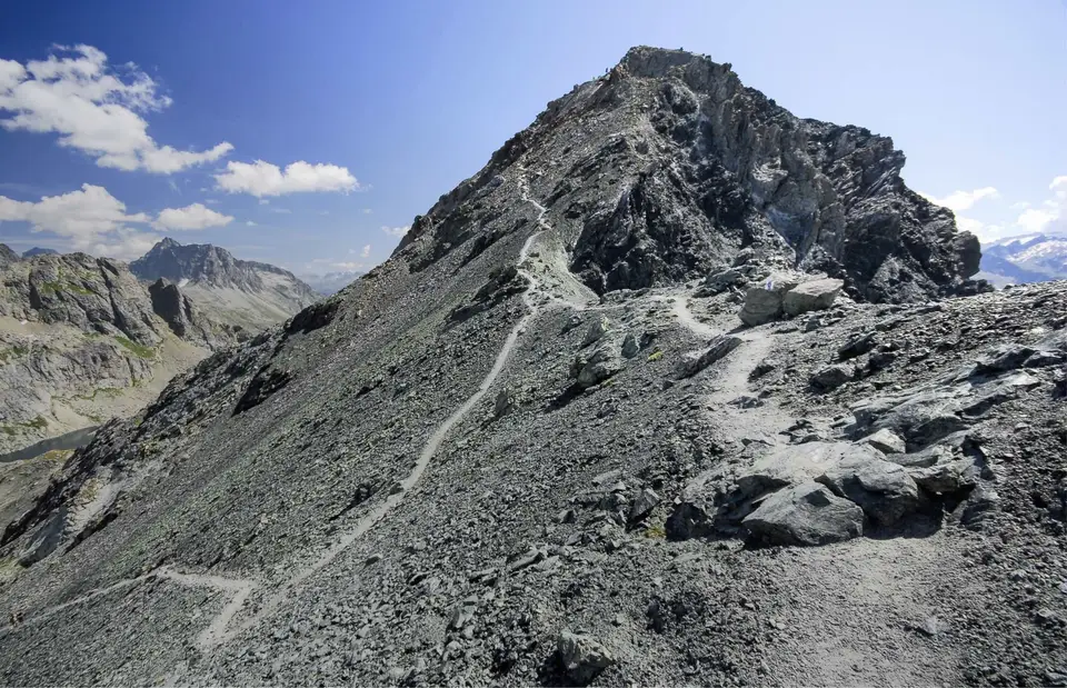
With its lunar look, this is the summit pyramid of Piz Lunghin, in the Engadine, Switzerland, just above the Maloja Pass. A summit as easy as it is spectacular, with a unique view of the Lago di Lej and the white peaks of the Bernina group.
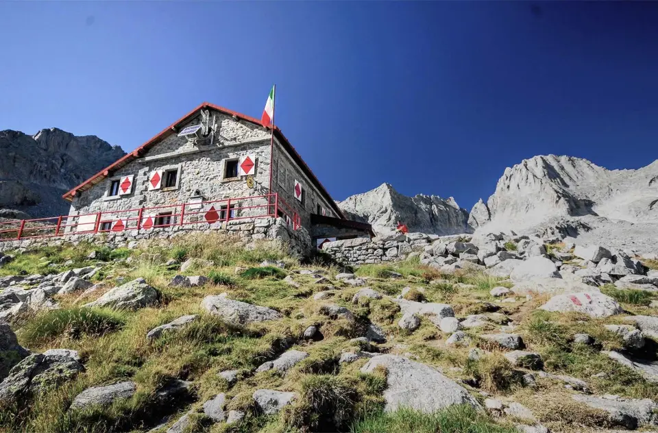
If the appeal of a mountain hut lies in finding comfort in the warmth and chatter of a house in the middle of otherwise untouched and potentially hostile nature, the appeal of a summit is one of conquest, of reaching a maximum. It is the satisfaction of having reached the highest point, knowing we could not have gone any further. No surprise, then, that so many summits are “decorated” with crosses, obelisks or statues to mark their symbolic importance. And although these symbols are starting to seem too religious and branded for a place as secular and natural as the top of a mountain, these Christian symbols have become the very symbol of the summit, and if they were gone we would almost miss them.
Religious debates aside, the hikes in this section are a hymn to the peaks (more or less pointed) of the Alps, to their crosses, and to the incredible views they give us.
It is best to save these hikes for the clearest days, with low humidity and swept by cold northerly winds, to make the most of good visibility and to be able to see peaks tens or hundreds of kilometres away.
Good to know about summits
Some of these summits have a longer climbing history than you might think. The Zugspitze received its first documented ascent on 27 August 1820 from the Bavarian surveyor Josef Naus, with an assistant and a guide; the Resegone owes its name to resega, Lombard dialect for saw, and Manzoni describes it in just those terms in the opening lines of I promessi sposi. Other summits have become easy to reach by train: the rack railway from Glion to the Rochers de Naye has run since 1892, and the link from Montreux since 1909, so at the top we will rarely be alone. From Piz Lunghin, finally, you look over one of Europe's rare triple watersheds, where the waters divide between the Rhine, the Po and the Danube.
Many summit routes are graded EE, for experienced hikers: according to the CAI this means there may be exposed sections, steep slopes or snowfields to cross, and that you need sure footing, a head for heights and suitable equipment. When you move up a grade, to EEA or to a via ferrata like the one on the Zugspitze, you need a harness meeting EN 12277, a helmet meeting EN 12492 and a via ferrata set with an energy absorber meeting EN 958. The grade always refers to the hardest section, which on a summit often means the final metres, exactly where you arrive most tired and most exposed to the weather.
The hikes
By our rating, highest first. Browse them as photographs, as a list with all the numbers or on the map.
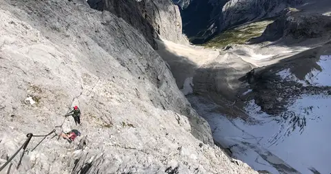 GermanyZugspitze Via Ferrata / Klettersteig10 hours of walking, 4 of them on via ferrata, and over 2200 metres of ascent, to reach the highest peak in Germany.
- Grade
- B/C
- Time
- 7:30h
- Distance
- 11km
- Ascent
- 2,180m
- Rating
- 10/10
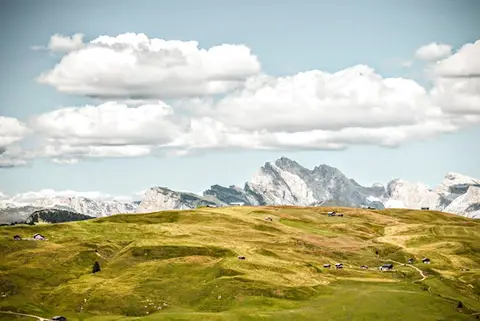 DolomitesFrom the Alpe di Siusi to Rifugio Bolzano on the SciliarA stroll across the high plateaus of the Alpe di Siusi and the Sciliar, among the most famous in the Dolomites.
- Grade
- T
- Time
- 7:00h
- Distance
- 21km
- Ascent
- 1,000m
- Rating
- 9/10
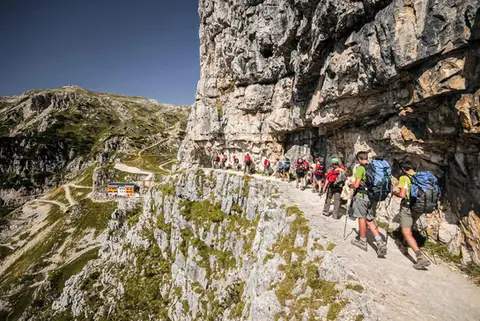 DolomitesThe Strada delle 52 Gallerie on the PasubioA visit to Rifugio Achille Papa and the Zona Sacra del Pasubio, by way of the spectacular Strada delle 52 Gallerie
- Grade
- E
- Time
- 7:00h
- Distance
- 17km
- Ascent
- 1,130m
- Rating
- 9/10
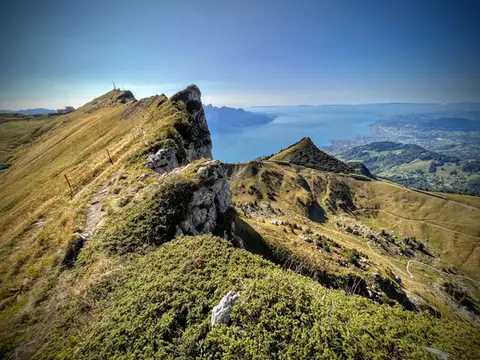 SwitzerlandTo the Rochers de Naye, a balcony over Lake GenevaThe 2000-metre peak closest to Lake Geneva: half green plateau, half vertical rock pinnacle.
- Grade
- E+
- Time
- 4:00h
- Distance
- 10km
- Ascent
- 550m
- Rating
- 9/10
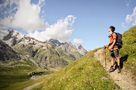 Aosta ValleyMonte Fortin and Rifugio Elisabetta Soldini in Val VenyA sensational viewing terrace over Monte Bianco and the Himalayan-looking Miage Glacier.
- Grade
- E
- Time
- 7:30h
- Distance
- 21km
- Ascent
- 1,190m
- Rating
- 9/10
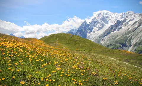 Aosta ValleyRifugio Bertone and Testa della Tronche, a balcony over Monte BiancoIn Val Ferret, on a grassy ridge face to face with the giants of Monte Bianco.
- Grade
- E
- Time
- 6:30h
- Distance
- 16km
- Ascent
- 1,010m
- Rating
- 9/10
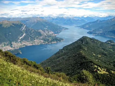 Lake ComoMonte San Primo and Rifugio Martina loopAlong the most panoramic ridge of the Triangolo Lariano, with lunch at the historic Rifugio Martina.
- Grade
- E
- Time
- 3:00h
- Distance
- 7km
- Ascent
- 550m
- Rating
- 8/10
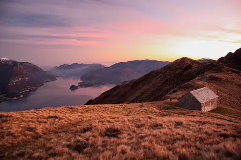 Lake ComoMonte Grona and Monte BregagnoAlong the grassy ridge between Monte Grona and Bregagno, face to face with Lake Como.
- Grade
- E
- Time
- 6:00h
- Distance
- 13km
- Ascent
- 1,120m
- Rating
- 8/10
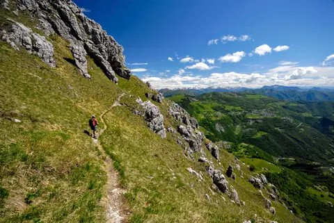 Lake ComoThe Via delle Creste Orientali on the ResegoneAn entertaining ridge path along the Dolomite-like towers of the Resegone.
- Grade
- EE
- Time
- 5:00h
- Distance
- 12km
- Ascent
- 920m
- Rating
- 8/10
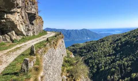 PiedmontCima di Morissolo and the Linea Cadorna fortificationsA summit dropping sheer to Lake Maggiore, just 30 minutes' walk away, with a maze of Linea Cadorna tunnels.
- Grade
- T
- Time
- 1:30h
- Distance
- 3.5km
- Ascent
- 170m
- Rating
- 8/10
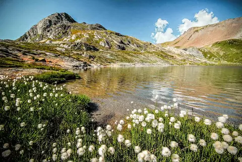 SwitzerlandLago Lunghin and Piz LunghinA lake, a peak and a pass, all sharing a breathtaking view over the Bernina group and the Lago di Sils.
- Grade
- E
- Time
- 6:30h
- Distance
- 16km
- Ascent
- 1,030m
- Rating
- 8/10
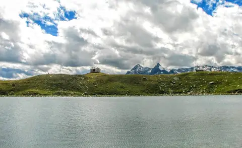 ValchiavennaRifugio Bertacchi at Lago d'EmetTo Lago d'Emet, an almost perfectly circular little lake overlooking the Valle Spluga.
- Grade
- E
- Time
- 5:00h
- Distance
- 11km
- Ascent
- 990m
- Rating
- 8/10
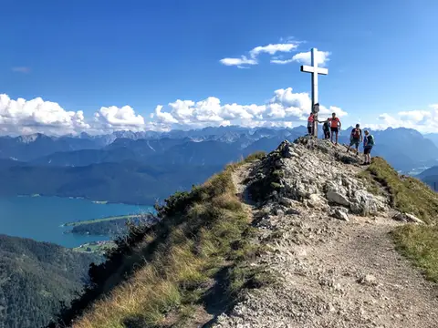 GermanyHerzogstand and Heimgarten loopTwo mountain lookouts above the German plain and the Walchensee.
- Grade
- E
- Time
- 4:30h
- Distance
- 10km
- Ascent
- 360m
- Rating
- 7/10
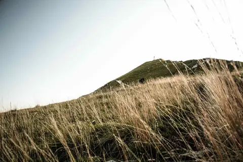 Lake ComoTo Monte Cornizzolo by way of San Pietro al MonteOne of the most panoramic summits of the Triangolo Lariano, by way of a Romanesque abbey.
- Grade
- E
- Time
- 5:00h
- Distance
- 11km
- Ascent
- 1,110m
- Rating
- 7/10
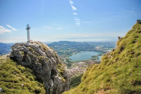 Lake ComoTo Monte Moregallo by way of Sant'IsidoroA hike to Monte Moregallo, an enjoyable hill close to Lecco and the Corni di Canzo.
- Grade
- E
- Time
- 4:30h
- Distance
- 8.5km
- Ascent
- 920m
- Rating
- 7/10
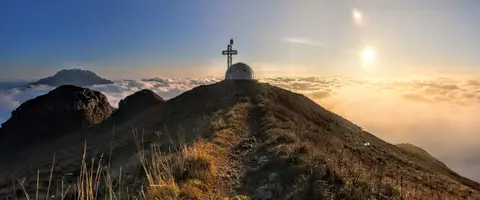 Lake ComoTo the igloo bivouac on Monte Due ManiAn easy summit facing the Grigne, ideal for a quick sunset outing from Lecco or Milan.
- Grade
- E
- Time
- 2:30h
- Distance
- 5km
- Ascent
- 500m
- Rating
- 7/10
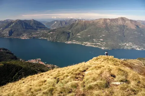 Lake ComoAlpe Giumello and Monte Croce di MuggioA short, easy hike to a panoramic summit high above Lake Como
- Grade
- T
- Time
- 1:30h
- Distance
- 3.5km
- Ascent
- 220m
- Rating
- 7/10
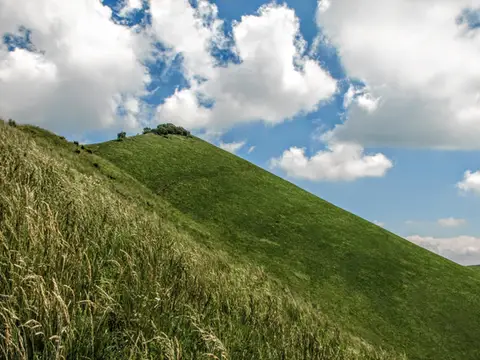 Lake ComoThe Boletto and Bolettone loopA loop along the grassy ridges of Monte Boletto and Monte Bolettone, squeezed between the plain and Lake Como
- Grade
- T
- Time
- 5:00h
- Distance
- 15km
- Ascent
- 740m
- Rating
- 7/10
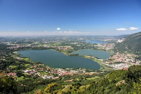 Lake ComoThe protected path on Monte BarroA slightly more entertaining alternative to the normal ascent of Monte Barro.
- Grade
- EE
- Time
- 2:00h
- Distance
- 3.5km
- Ascent
- 310m
- Rating
- 7/10
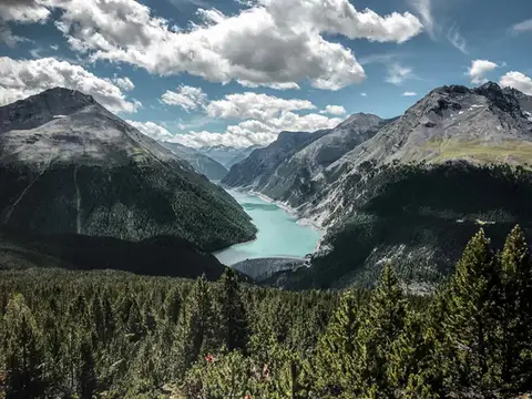 SwitzerlandAlp and Munt La Schera, lookouts over Lago di LivignoNorth American views, with the turquoise Lago di Livigno and broad valleys cloaked in firs and larches.
- Grade
- E
- Time
- 4:30h
- Distance
- 13km
- Ascent
- 810m
- Rating
- 7/10
Questions
The answers come from the hike pages listed here.
Which one is the best, in your view?
Zugspitze Via Ferrata / Klettersteig, which we rated 10 out of 10.
Which one is the easiest?
Cima di Morissolo and the Linea Cadorna fortifications: grade T, 1:30 hours of walking and 170 metres of ascent.
How long do these hikes take?
From 1:30 to 7:30 hours of walking, with ascents between 170 and 2,180 metres.
More guides
Other lists that share some of these hikes.