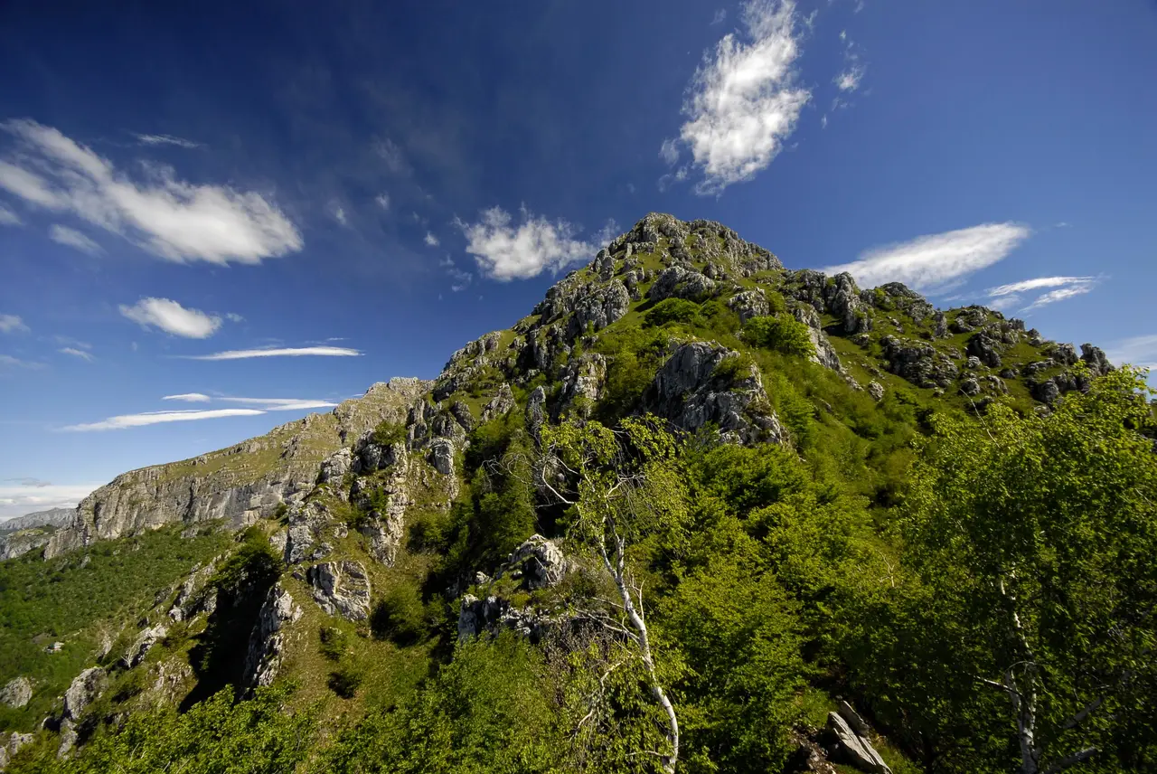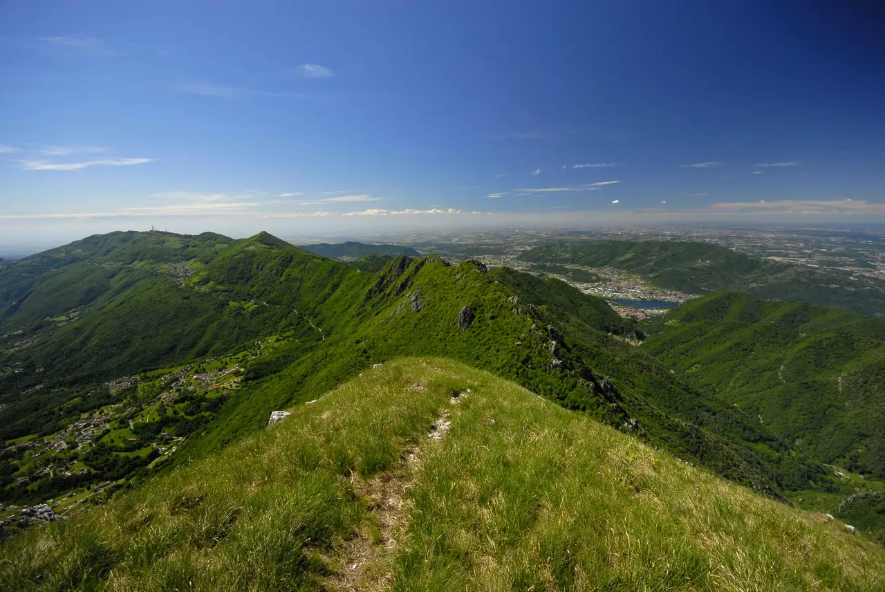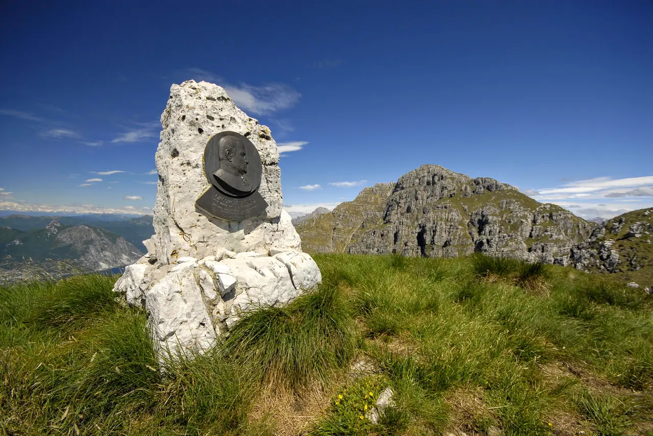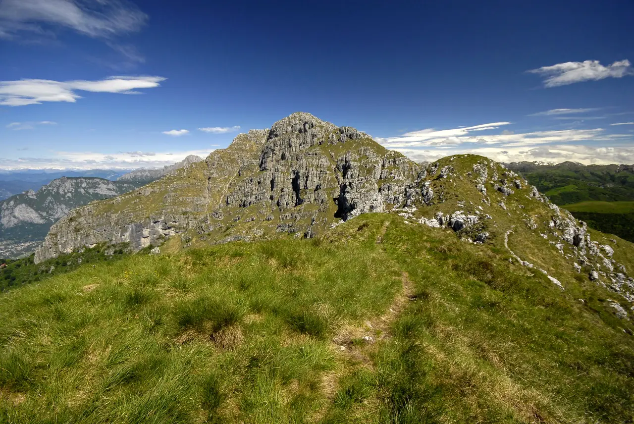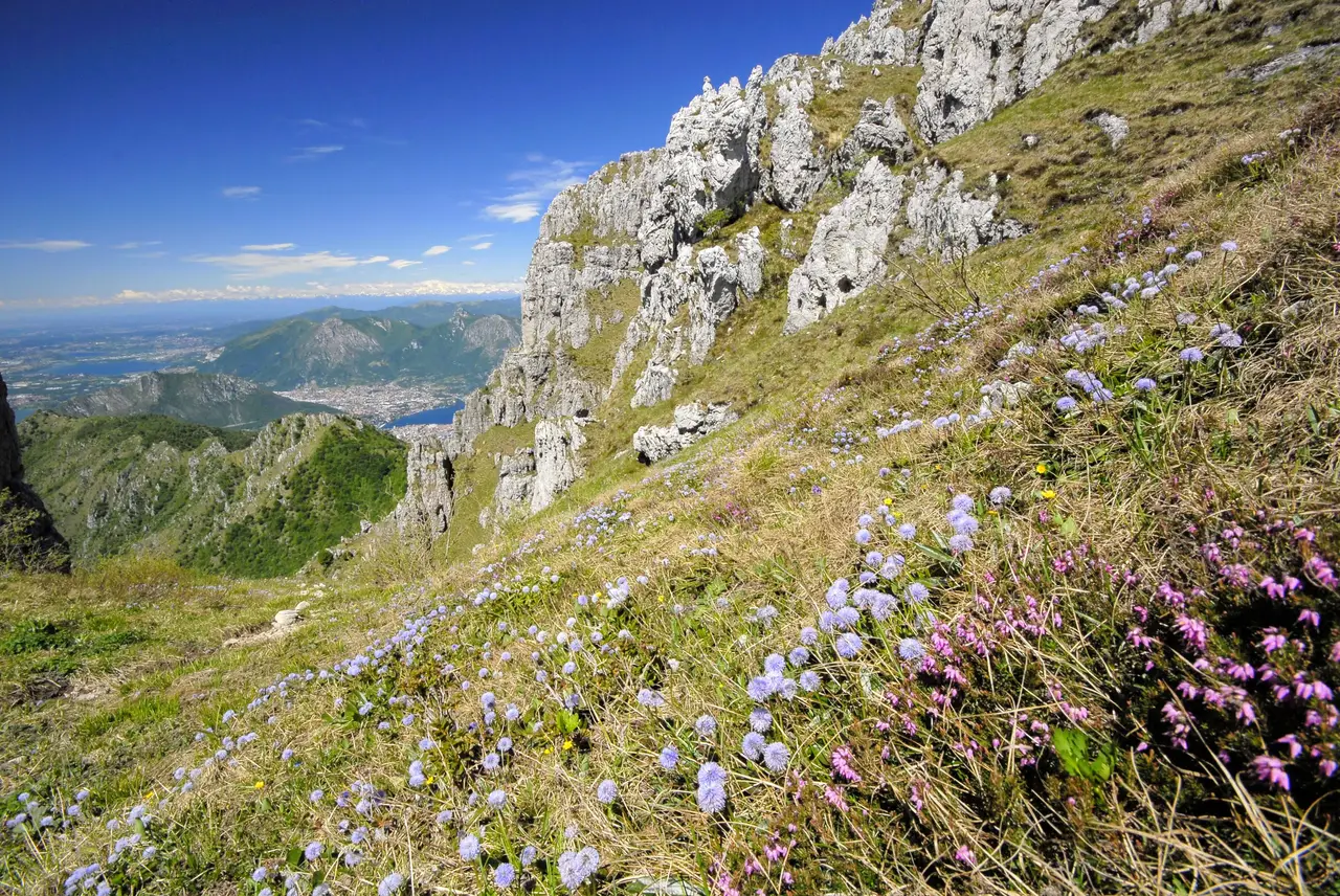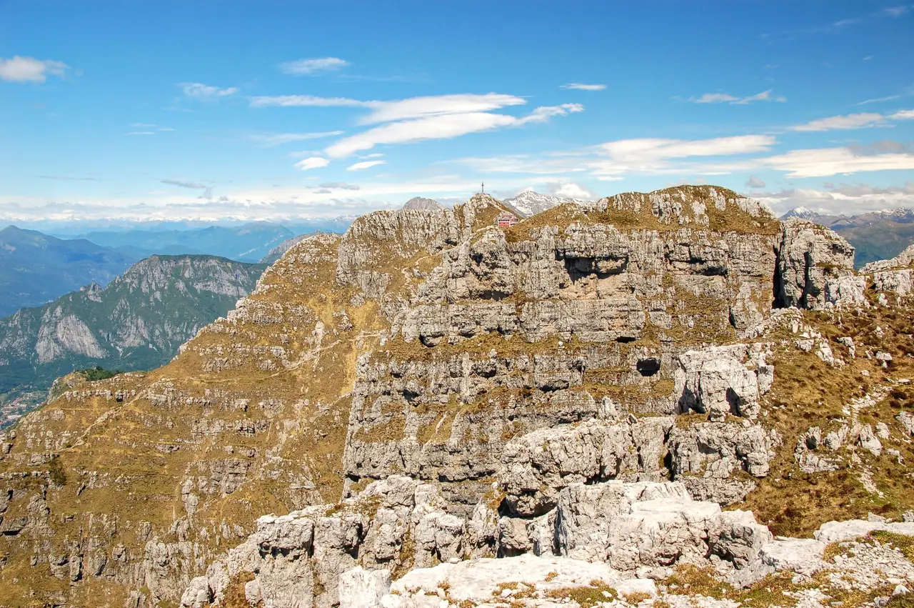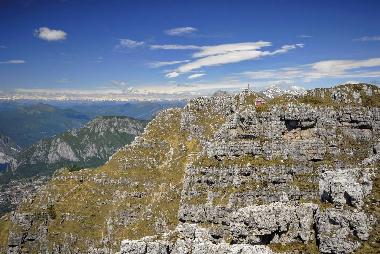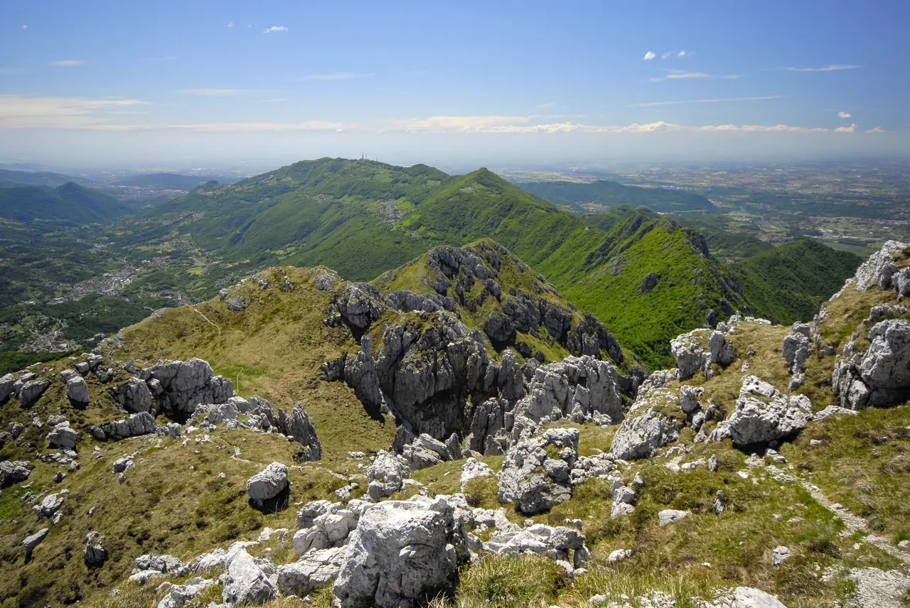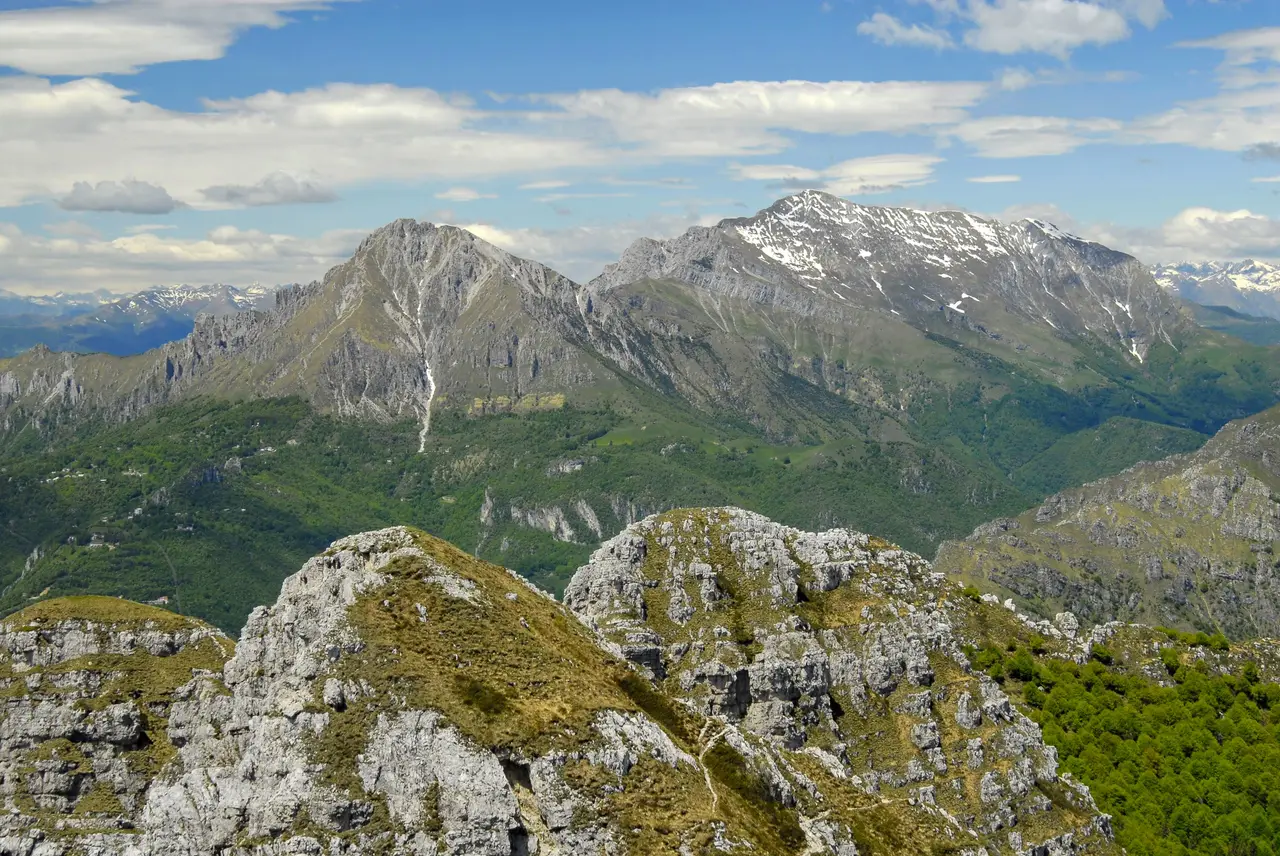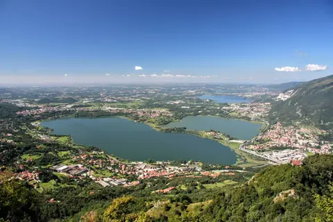
Alessandro Manzoni writes of the Resegone: "The shore, formed by the deposits of three large torrents, slopes down leaning against two neighbouring mountains, one called San Martino, the other, in the Lombard tongue, the Resegone, from its many peaks in a row, which truly make it look like a saw: so that there is no one who, on first seeing it, provided it is from the front, as for instance from the walls of Milan that face north, would not at once pick it out by this mark, in that long and vast range, from the other mountains of more obscure name and more common shape."
The easiest way up the Resegone is path 571, which climbs its northern side (starting from Morterone, Forcella d'Olino or Brumano). But to really get to know those many "peaks in a row" at close quarters we need to venture onto the Vie delle Creste, western and eastern (described here is the Via delle Creste Orientali, returning by the classic ascent path).
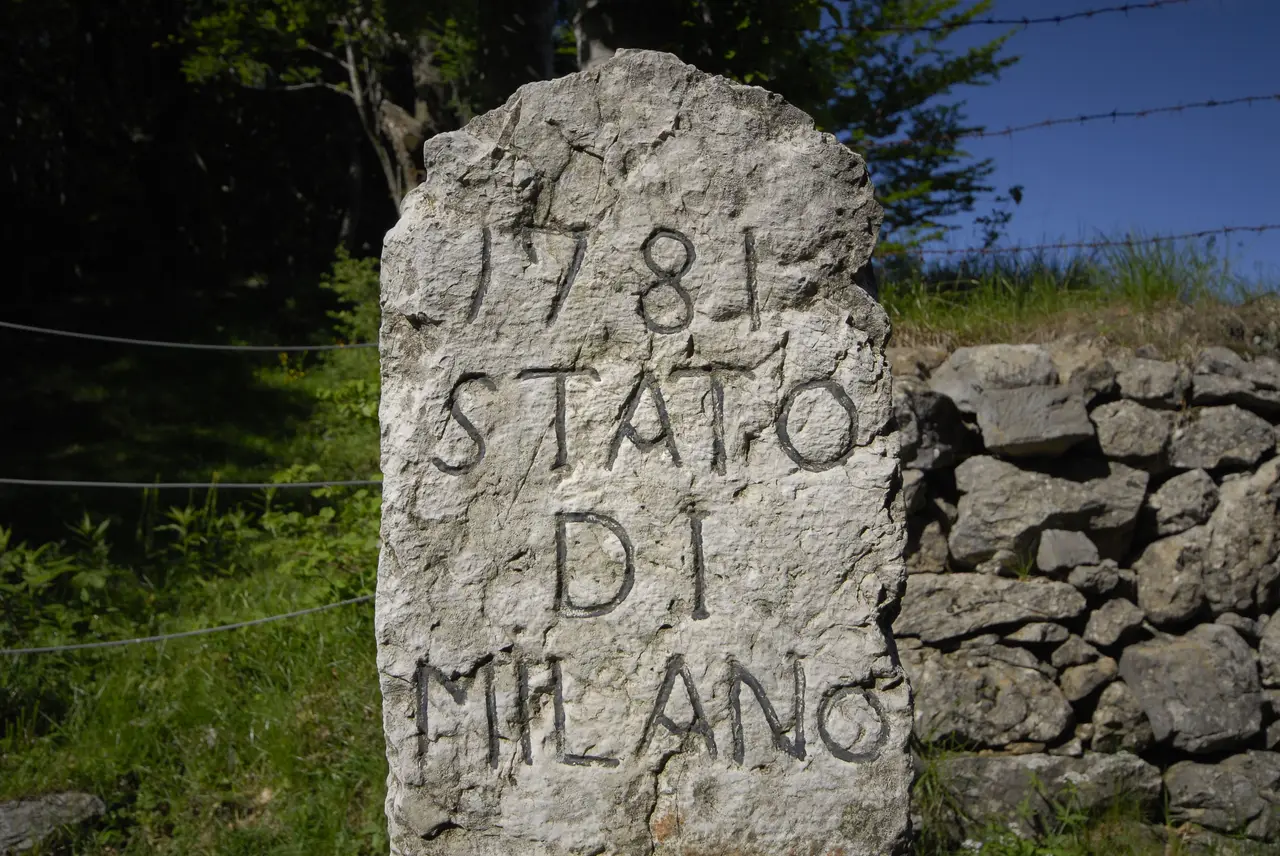
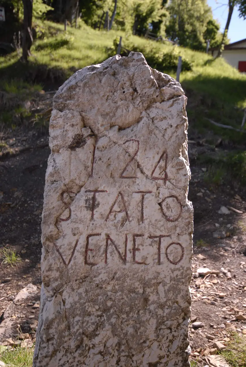
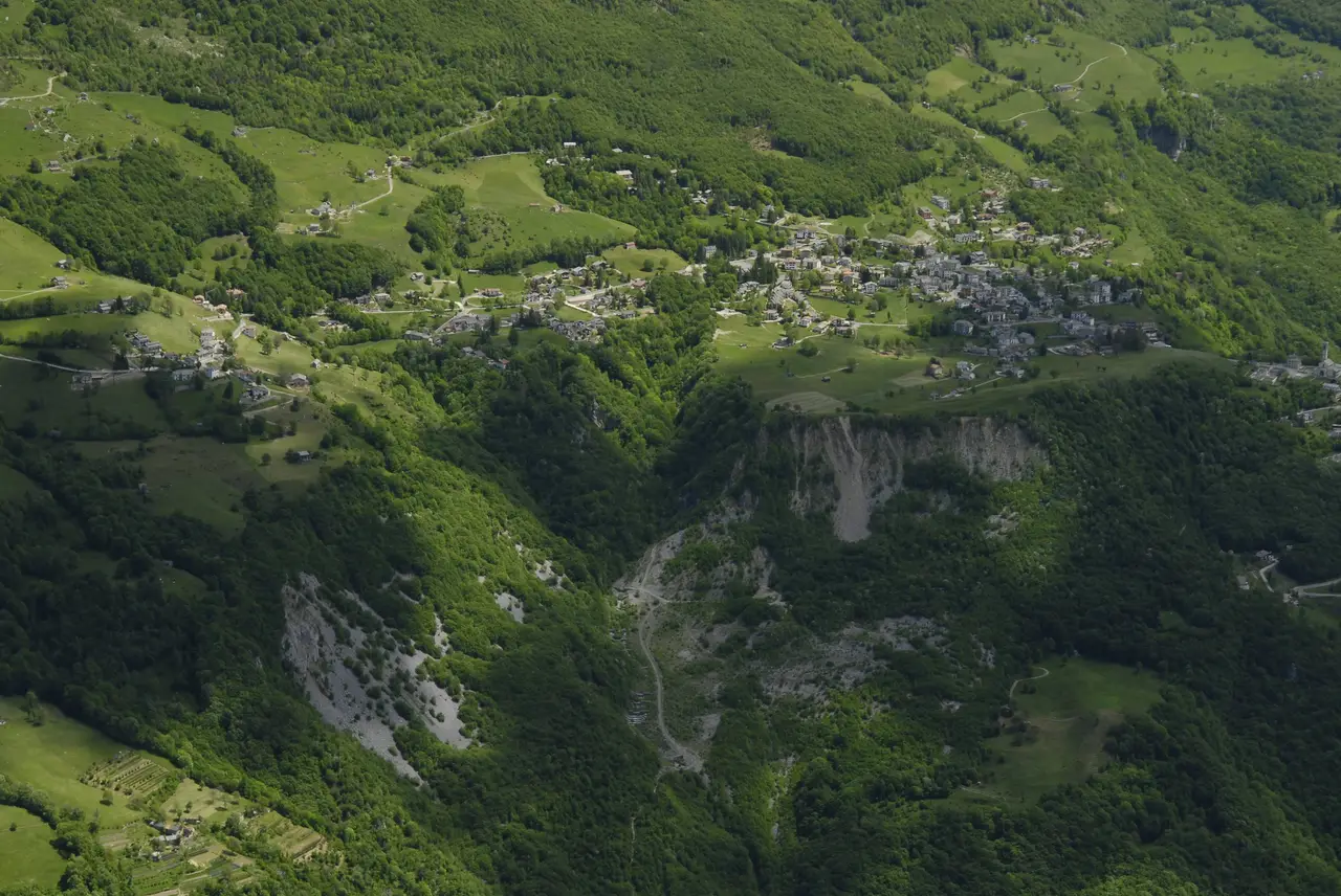
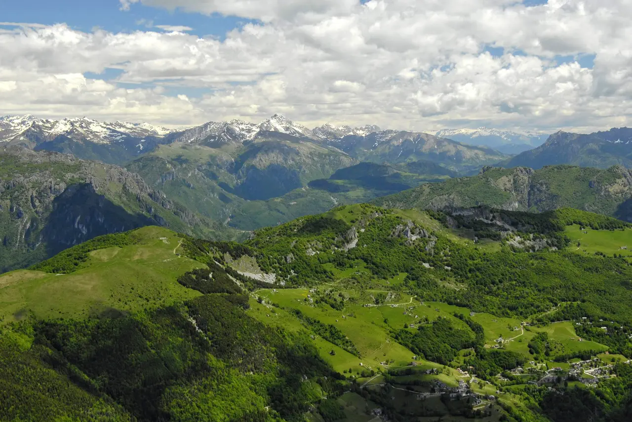
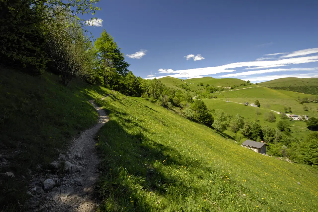
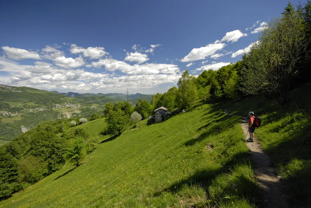
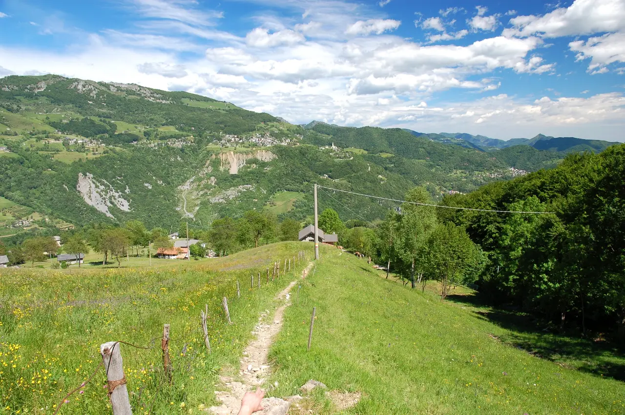
The starting point is Brumano (m911), in the upper Valle Imagna. We park near the church. The path starts right from the raised square in front of the church and climbs behind it through lovely pastures. Crossing a tarmac road several times, we reach the edge of the woods; following signs that are not especially obvious, we enter the woods and, in twenty or thirty minutes, reach the rocky shoulder of Passo La Porta (m1126, h0.45). Another similar stretch separates us from the Passata (m1244, h0.30), an important crossing point between the Lecco and Bergamo sides, once busy with the "commuters" of the Valle Imagna who went to work in the steelworks of Lecco. But the pass tells an even older story: we still find a boundary stone here, engraved "Stato di Milano" on one side and "Stato Veneto" on the other.
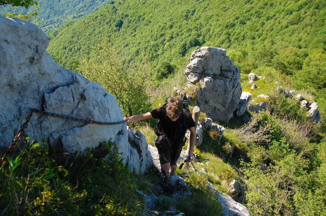
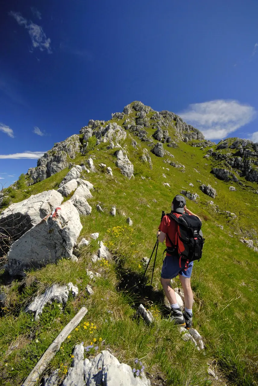
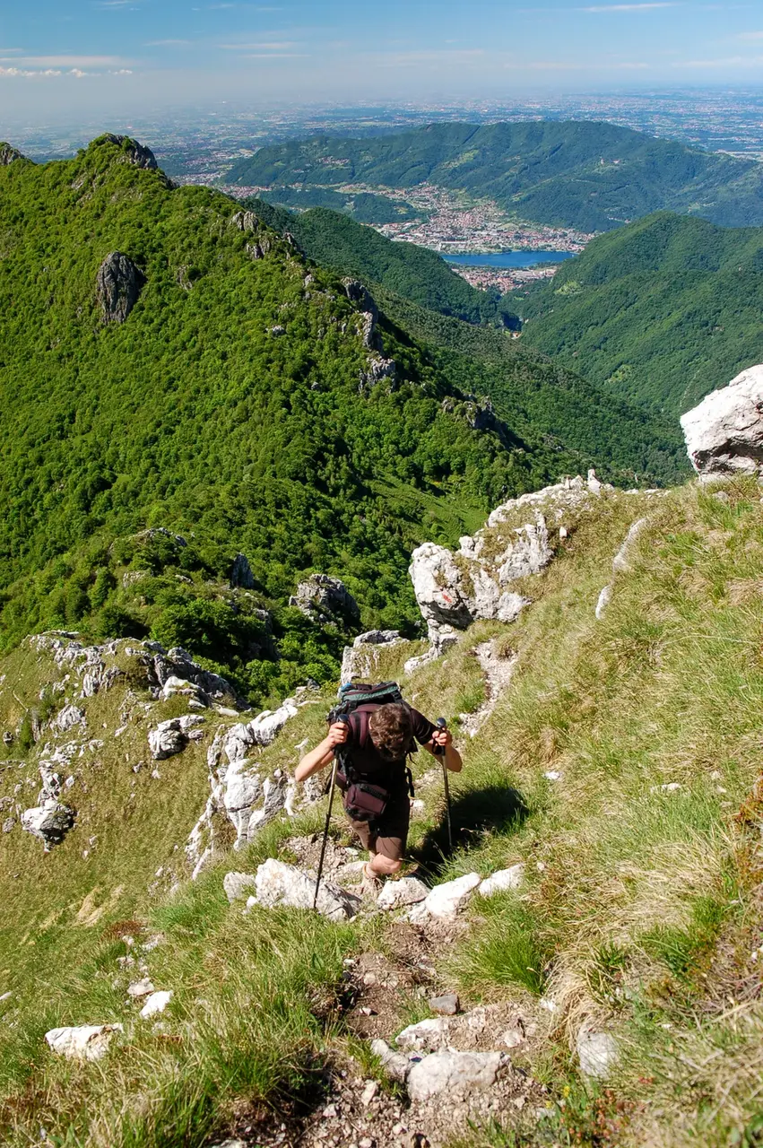
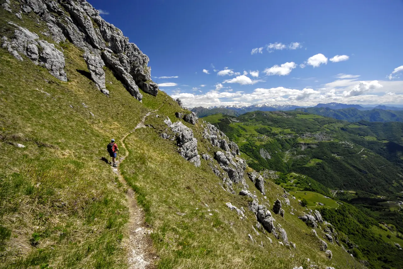
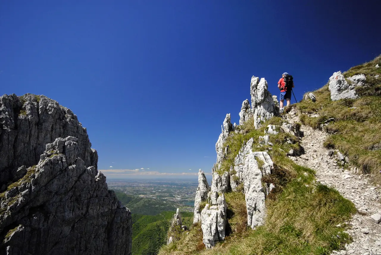
Here the Via delle Creste begins. The going gets awkward straight away: the path is narrow and steep, and repeatedly stumbles into fun rock slabs with chains. On reaching a first knoll with views over the Lecco side and the Valle Imagna, we find ourselves facing the rampart of Cima Quarenghi, whose ascent is the most tiring and dangerous point of the whole traverse. The path (little more than a trace) climbs steeply between rock spires and grassy chutes, soon becoming exposed and airy.
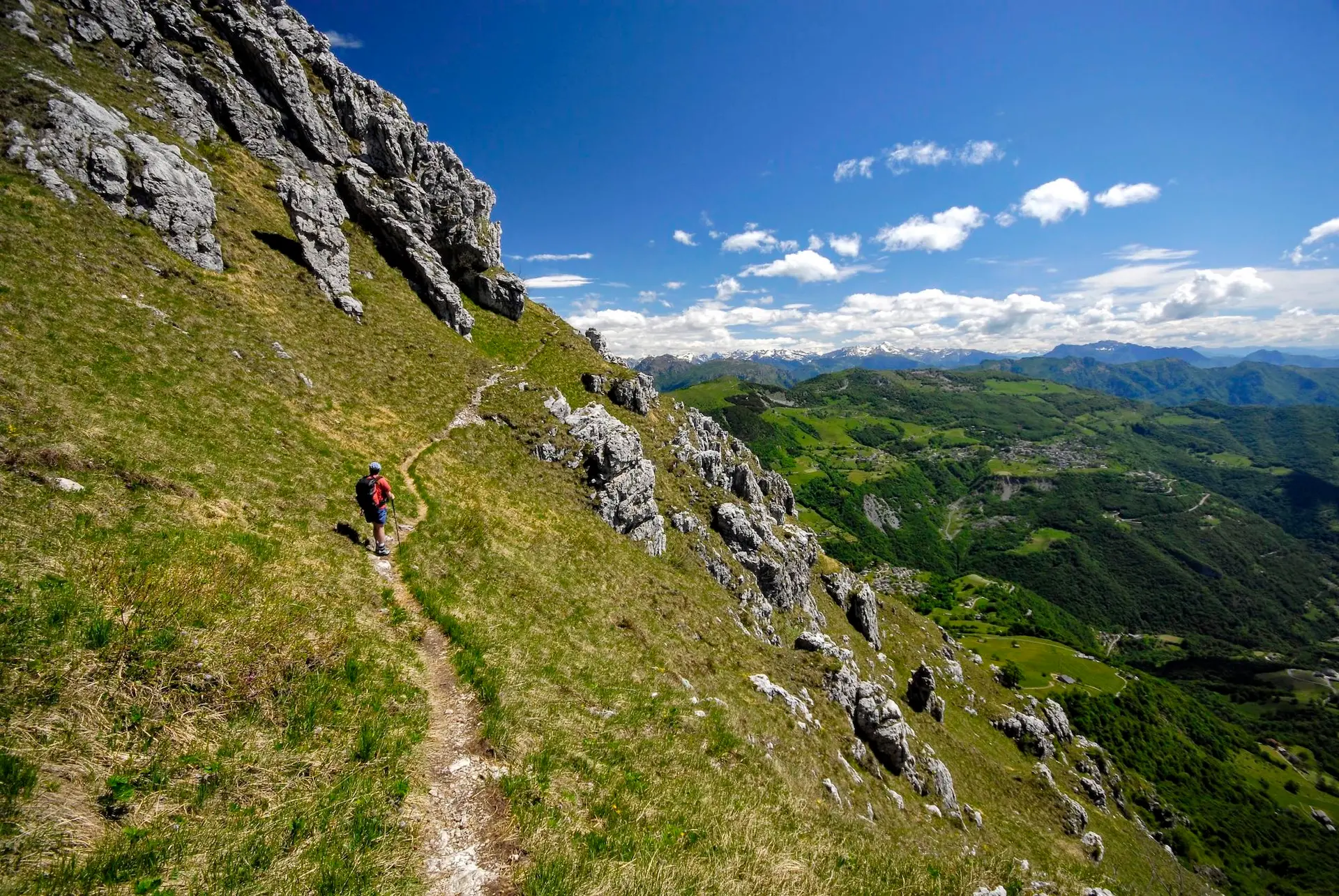
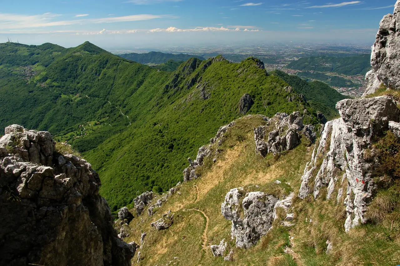
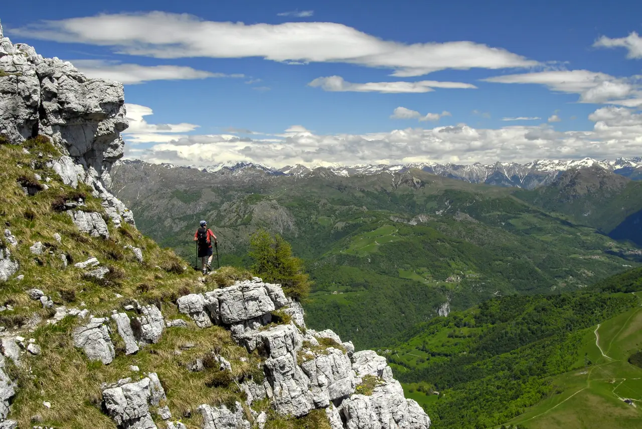
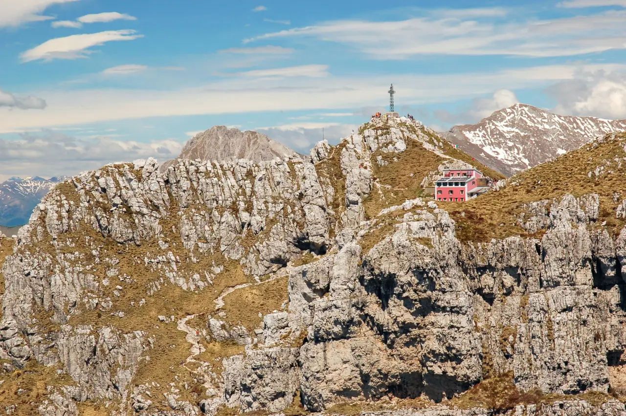
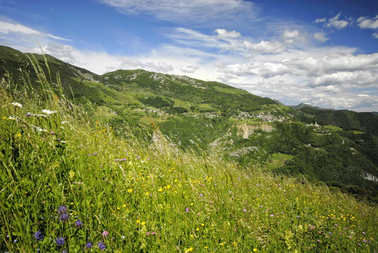
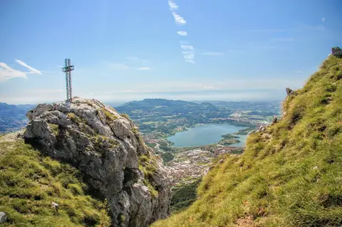
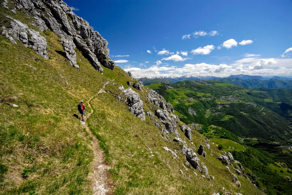
Once we have conquered the spacious grassy knoll of Cima Quarenghi (m1537, h1.00), the route becomes almost level and free of danger, leaving us free to enjoy ever wider panoramas and views of the towers of the Resegone. Towers that are partly crossed and partly skirted on the north-eastern side, which may leave a little disappointed anyone expecting a path that always keeps to the crest of the ridge.
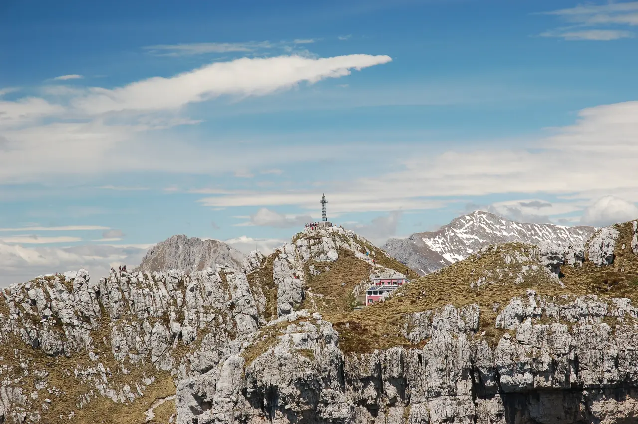
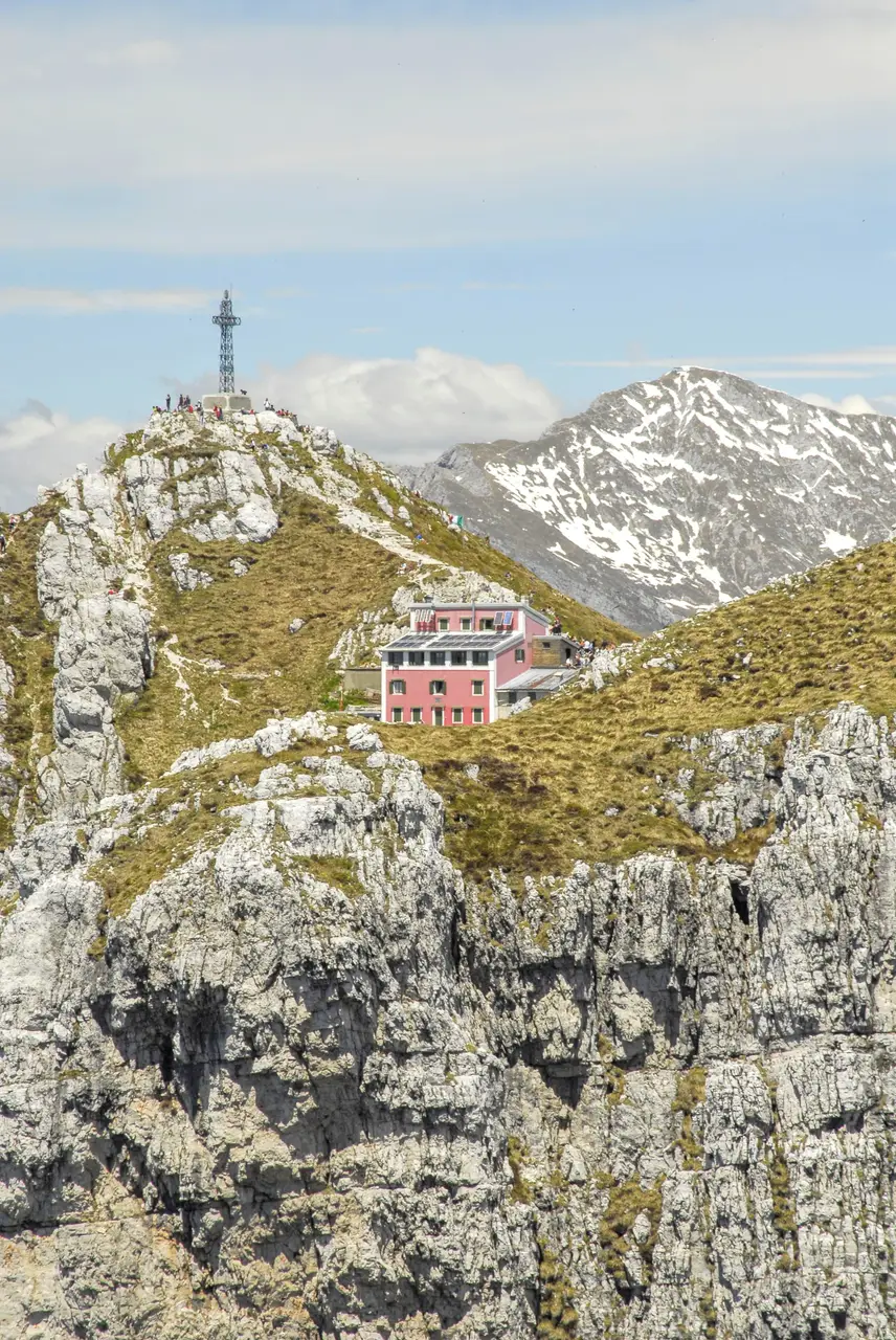
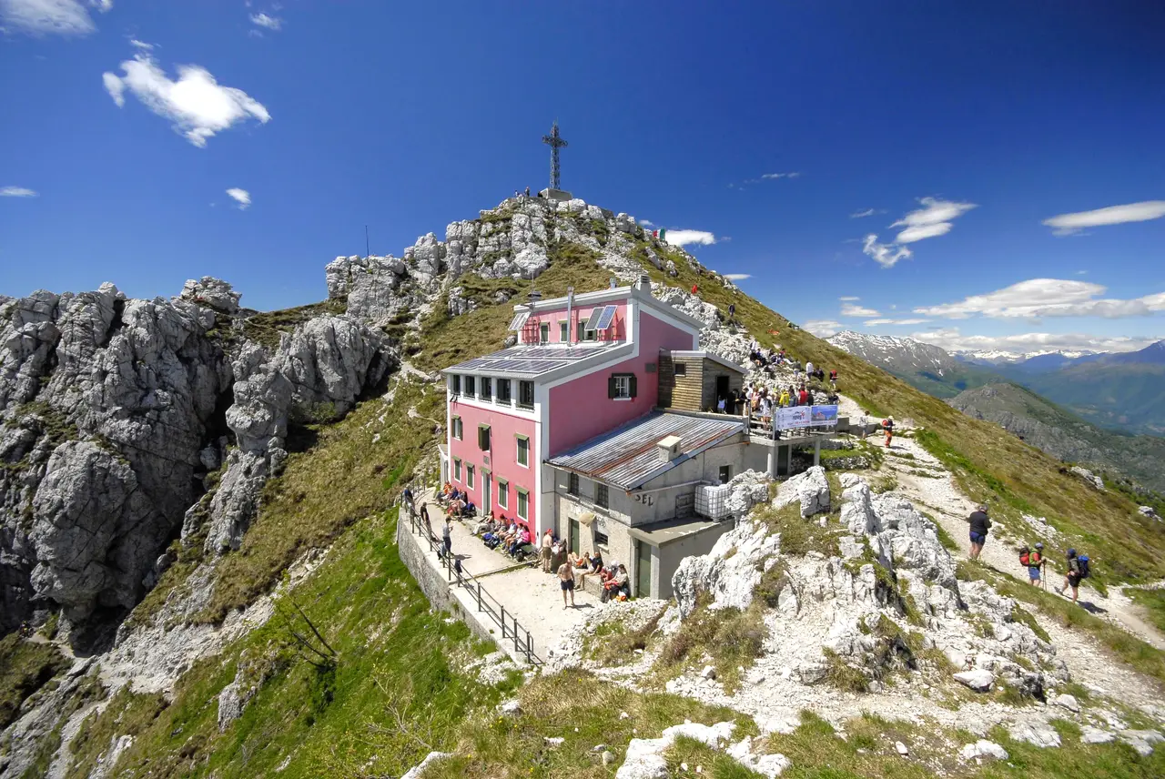
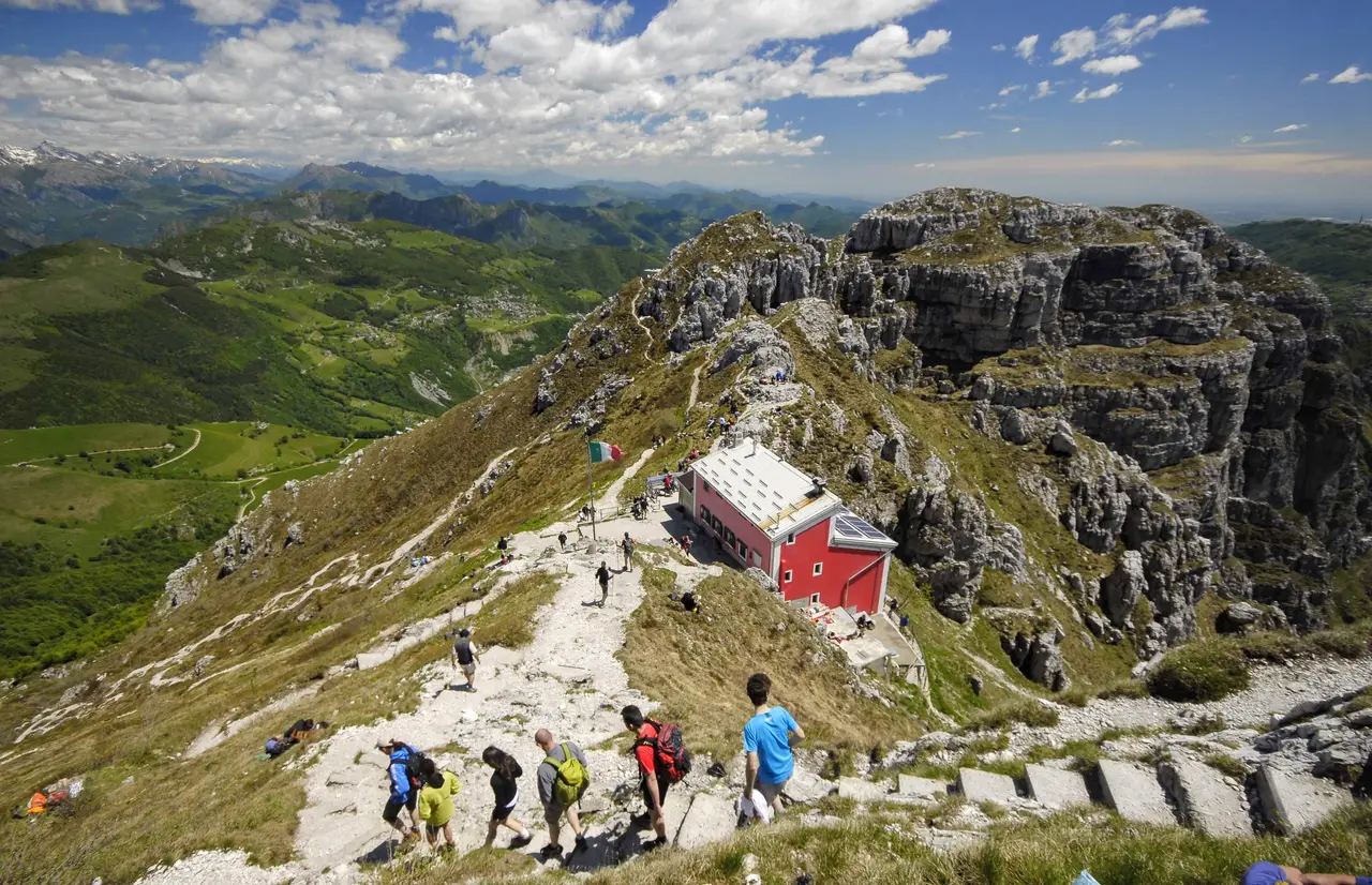
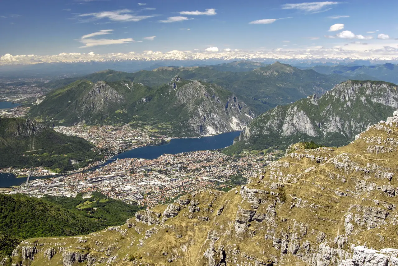
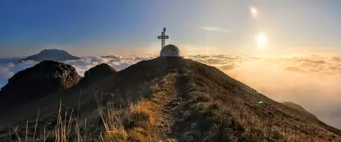
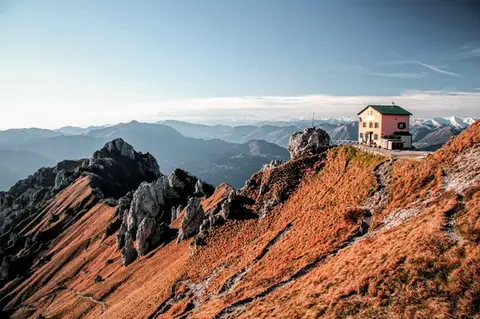
The climb is spectacular but still long, and even the sight of Rifugio Azzoni, seemingly close, is misleading. It is reached after a long diagonal that descends to the right, then climbing back up by "scrambling" over a few short, easy rocky steps. The final reward for the effort is the view over the Alps, the Orobie and Brianza from Rifugio Azzoni and the summit of the Resegone (m1860, h1.30).
To descend we take the classic ascent path, on the northern side of the Resegone. After half an hour of descent on the shared route, we come to a junction in the woods, where we turn right for Brumano. A few more junctions follow, all well signposted. After another half hour of monotonous path through the woods, we come out into the meadows of Brumano and soon reach the tarmac road we met in the morning, which quickly leads us back to the church and the car (m911, h1.30).