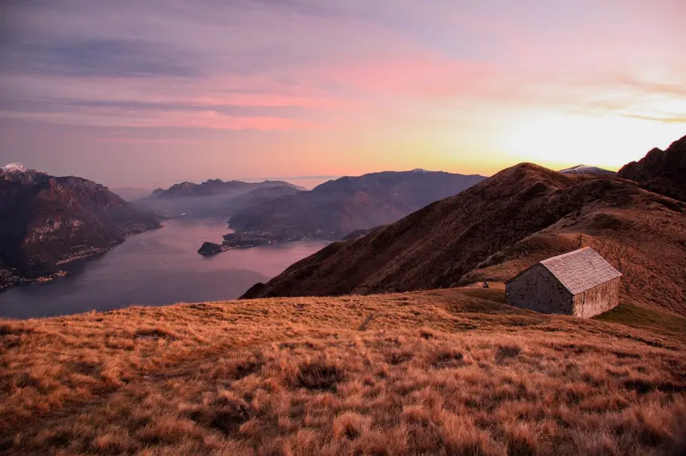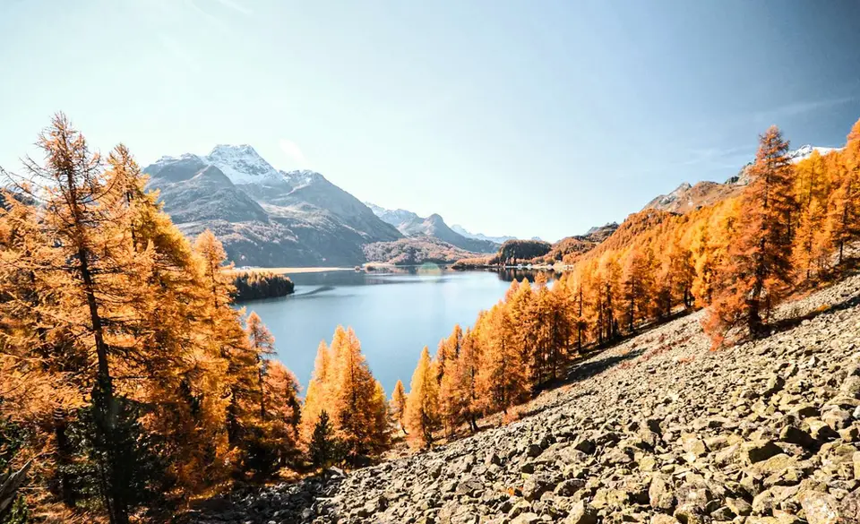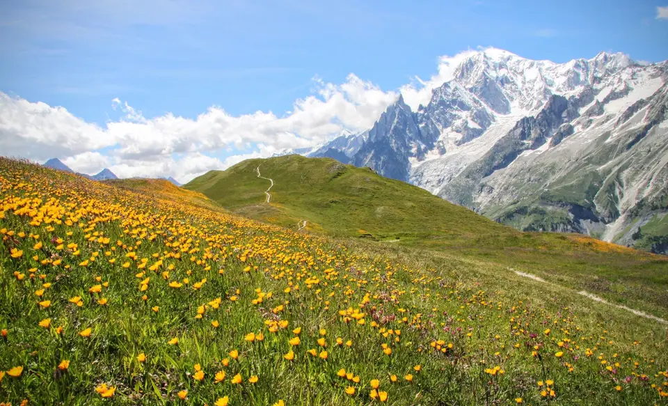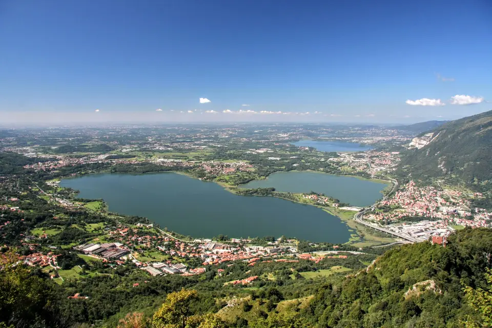
Lecco has a piece of luck that few towns can claim: the mountains begin where the streets end, and the Resegone, Monte Barro and the Grigne form the backdrop to almost every view of the town. For anyone who lives there, or comes up from Milan, it means a proper hike a few minutes' drive away and home in time for dinner. On this page we have gathered our hikes that start within 25 kilometres of the town, on the eastern branch of Lake Como, in the Triangolo Lariano and towards the Valsassina.
The quickest are the protected path on Monte Barro, Alpe Giumello with Monte Croce di Muggio and the igloo bivouac on Monte Due Mani, which lends itself to a sunset outing. For a classic morning there are the Piani Resinelli and Rifugio Rosalba, among the spires of the Grignetta, or the Monte San Primo loop; for a full day, Monte Cornizzolo by the Romanesque complex of San Pietro al Monte, the Moregallo from Sant'Isidoro, the grassy ridges of Boletto and Bolettone and the eastern ridges of the Resegone, which weave between dolomitic towers. The Via del Fiume in the Val d'Era, above Mandello del Lario, is a protected path among small waterfalls and pools at the foot of the Grigne, and if you want to go further there is the Rifugio Benigni loop in the upper Val Gerola.
Good to know
It is hard to write about Lecco without passing through Manzoni. The opening line of The Betrothed, ‘That branch of Lake Como which turns towards the south’, describes precisely this arm of the lake, enclosed between two chains of mountains, and the writer knew the places well: he spent his childhood and adolescence in the family villa at Caleotto, which now houses the Museo Manzoniano. Pescarenico, with Fra Cristoforo's convent, is one of the novel's settings that can still be recognised, and Lucia's famous farewell to the mountains rising from the water is addressed to the very peaks we see from these paths.
The Grigne, meanwhile, belong to the history of climbing. Riccardo Cassin and, later, Walter Bonatti learned their craft on the limestone of the Grignetta, and it was in Lecco, in 1946, that the Ragni climbing group was founded, carrying the town's name to mountains all over the world. From the Piani Resinelli, where those towers are close enough to study, it quickly becomes clear why.
The hikes
By our rating, highest first. Browse them as photographs, as a list with all the numbers or on the map.
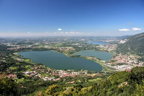 Lake ComoThe protected path on Monte BarroA slightly more entertaining alternative to the normal ascent of Monte Barro.
- Grade
- EE
- Time
- 2:00h
- Distance
- 3.5km
- Ascent
- 310m
- Rating
- 7/10
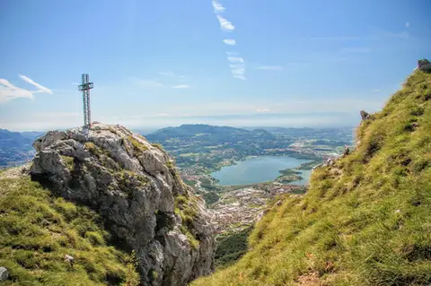 Lake ComoTo Monte Moregallo by way of Sant'IsidoroA hike to Monte Moregallo, an enjoyable hill close to Lecco and the Corni di Canzo.
- Grade
- E
- Time
- 4:30h
- Distance
- 8.5km
- Ascent
- 920m
- Rating
- 7/10
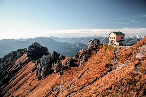 Lake ComoFrom Piani Resinelli to Rifugio RosalbaOne of the great classics of the Lombard Prealps. Dolomite-like views, an hour's drive from Milan.
- Grade
- E
- Time
- 3:00h
- Distance
- 6km
- Ascent
- 530m
- Rating
- 8/10
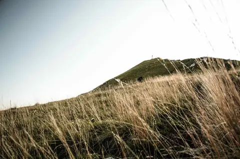 Lake ComoTo Monte Cornizzolo by way of San Pietro al MonteOne of the most panoramic summits of the Triangolo Lariano, by way of a Romanesque abbey.
- Grade
- E
- Time
- 5:00h
- Distance
- 11km
- Ascent
- 1,110m
- Rating
- 7/10
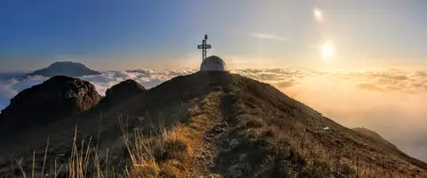 Lake ComoTo the igloo bivouac on Monte Due ManiAn easy summit facing the Grigne, ideal for a quick sunset outing from Lecco or Milan.
- Grade
- E
- Time
- 2:30h
- Distance
- 5km
- Ascent
- 500m
- Rating
- 7/10
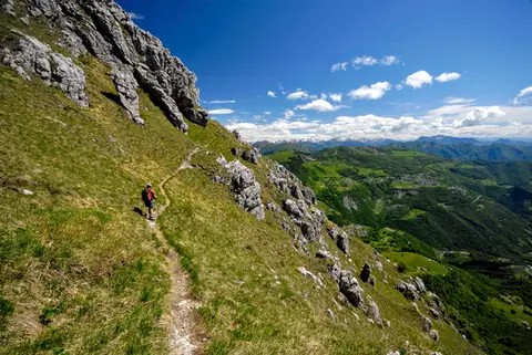 Lake ComoThe Via delle Creste Orientali on the ResegoneAn entertaining ridge path along the Dolomite-like towers of the Resegone.
- Grade
- EE
- Time
- 5:00h
- Distance
- 12km
- Ascent
- 920m
- Rating
- 8/10
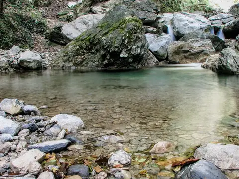 Lake ComoVia del Fiume in Val d'EraA protected path among little waterfalls and pools, in a deep, narrow valley at the foot of the Grigne.
- Grade
- EE
- Time
- 5:00h
- Distance
- 12km
- Ascent
- 710m
- Rating
- 7/10
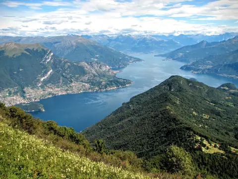 Lake ComoMonte San Primo and Rifugio Martina loopAlong the most panoramic ridge of the Triangolo Lariano, with lunch at the historic Rifugio Martina.
- Grade
- E
- Time
- 3:00h
- Distance
- 7km
- Ascent
- 550m
- Rating
- 8/10
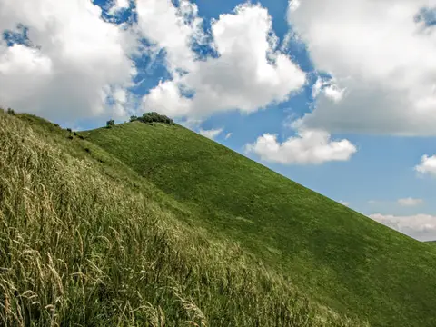 Lake ComoThe Boletto and Bolettone loopA loop along the grassy ridges of Monte Boletto and Monte Bolettone, squeezed between the plain and Lake Como
- Grade
- T
- Time
- 5:00h
- Distance
- 15km
- Ascent
- 740m
- Rating
- 7/10
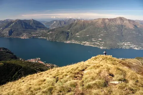 Lake ComoAlpe Giumello and Monte Croce di MuggioA short, easy hike to a panoramic summit high above Lake Como
- Grade
- T
- Time
- 1:30h
- Distance
- 3.5km
- Ascent
- 220m
- Rating
- 7/10
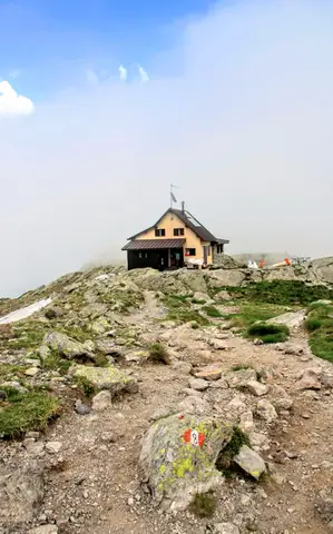 ValtellinaLoop of Rifugio Benigni and the Trona and Zancone lakesA long route in the upper Val Gerola, taking in a mountain hut, 4 lakes and a few ibex.
- Grade
- E
- Time
- 6:00h
- Distance
- 15km
- Ascent
- 970m
- Rating
- 8/10
Questions
The answers come from the hike pages listed here.
Which one is the best, in your view?
From Piani Resinelli to Rifugio Rosalba, The Via delle Creste Orientali on the Resegone, Monte San Primo and Rifugio Martina loop and others, all rated 8 out of 10.
Which one is the easiest?
Alpe Giumello and Monte Croce di Muggio: grade T, 1:30 hours of walking and 220 metres of ascent.
How long do these hikes take?
From 1:30 to 6:00 hours of walking, with ascents between 220 and 1,110 metres.
More guides
Other lists that share some of these hikes.