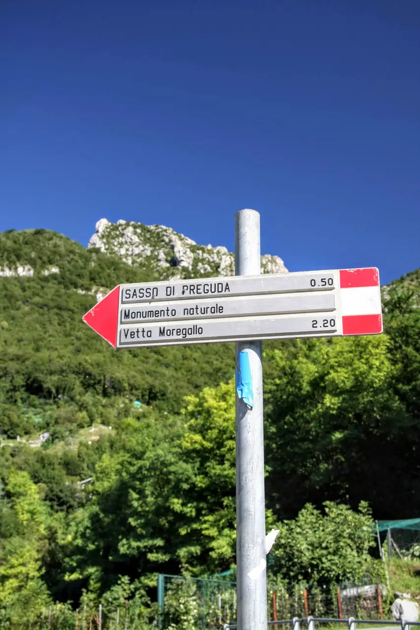
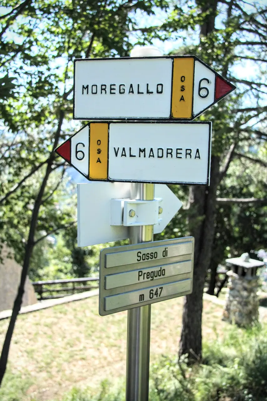
We park the car at Piazza Rossè (m250, a district of Valmadrera; turn off Viale Promessi Sposi into Via Preguda, then into Via Piazza Rossè). From here we set off on foot, following the frequent signs for the Sasso di Preguda.
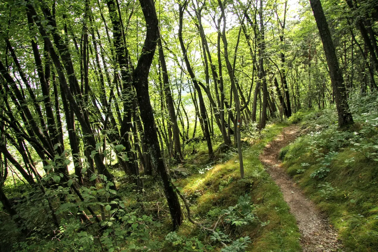
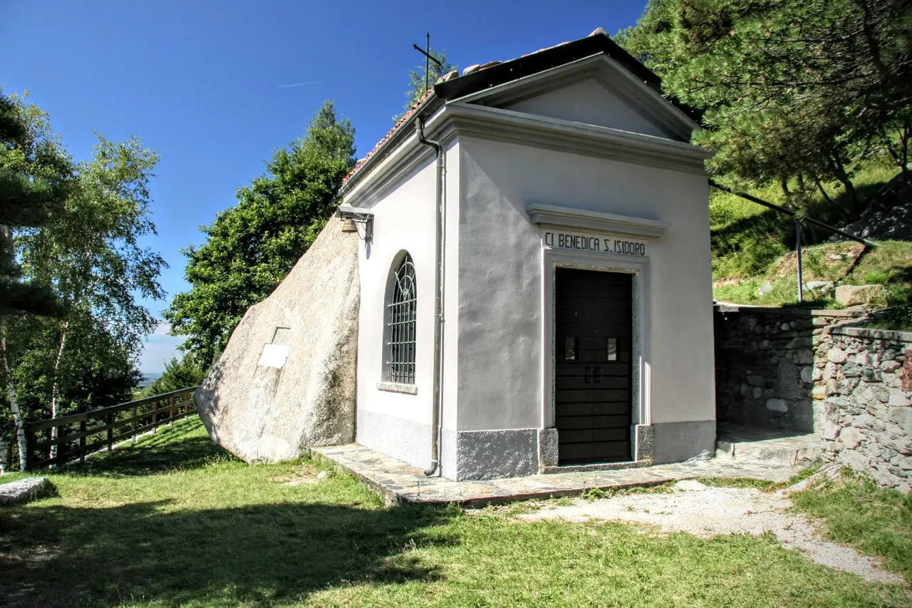
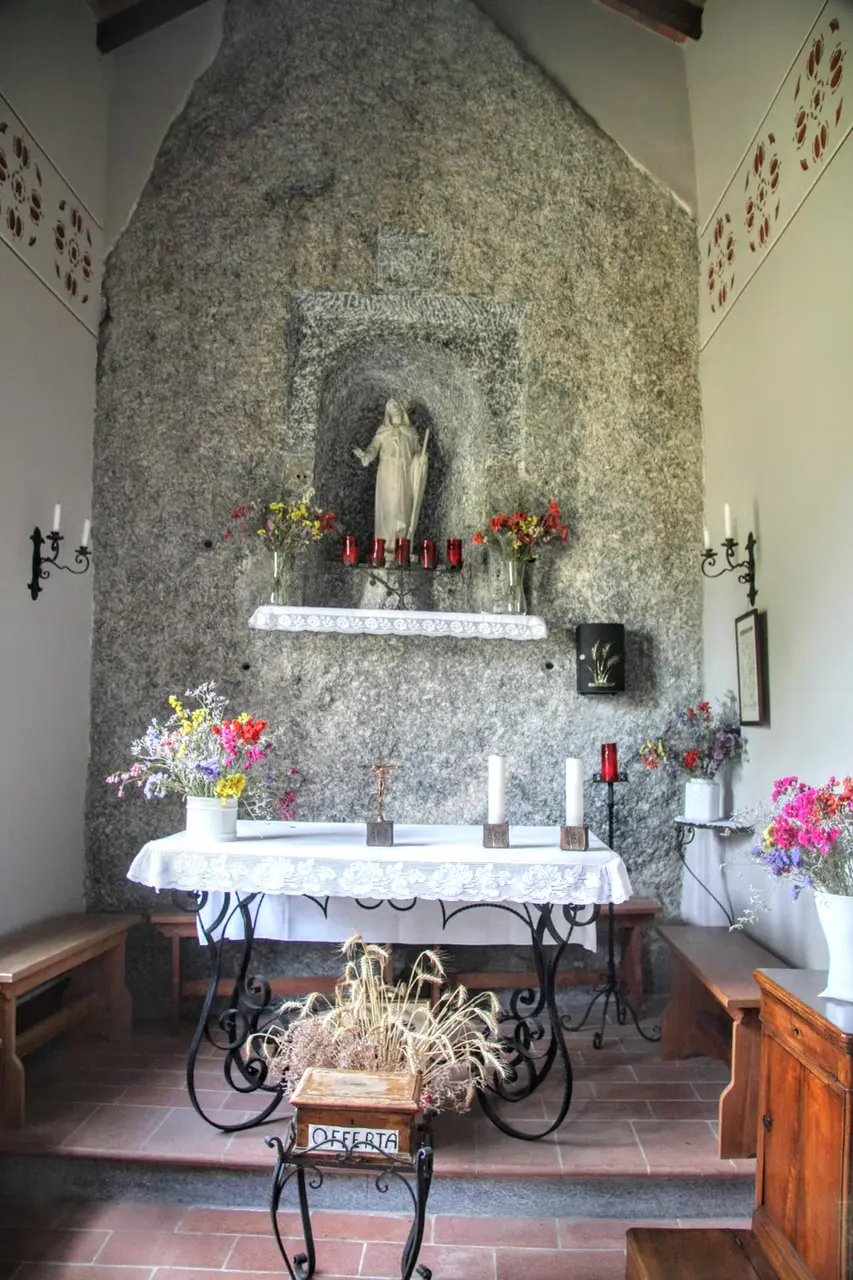
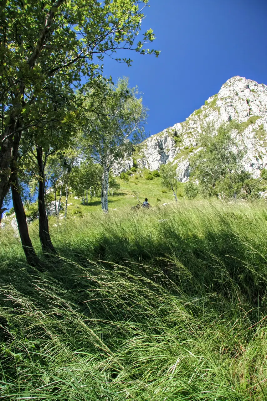
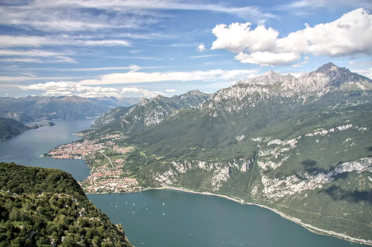
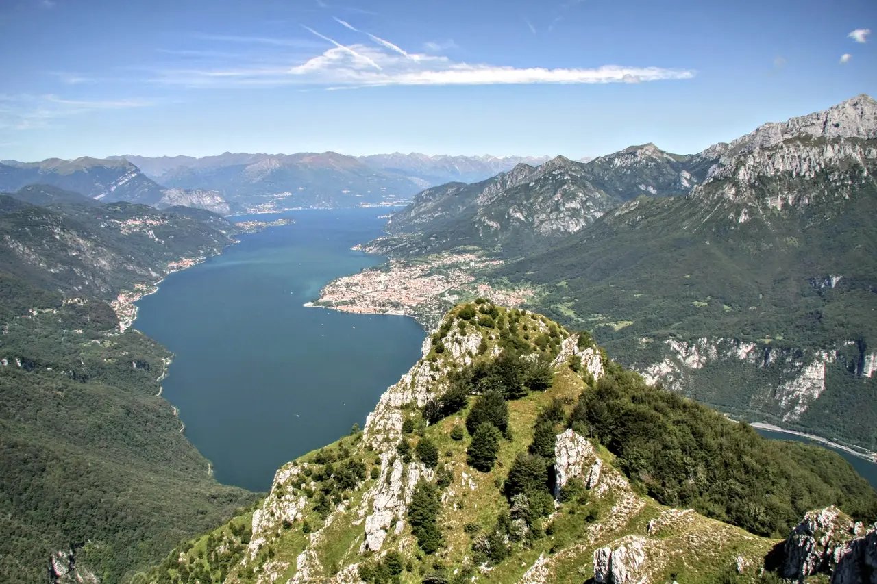
After a first stretch where it squeezes along the boundaries of private properties, the route becomes a little steeper: a few lovely stretches through the woods, and here we are at the little church of Sant'Isidoro (m647, 1 hour), built up against a large erratic boulder, the Sasso di Preguda, which came down from the valleys of Sondrio. The spot, as panoramic and peaceful as it is easy to reach, is ideal for a half-day outing. Behind the little church, rock walls plunge into Lake Como.
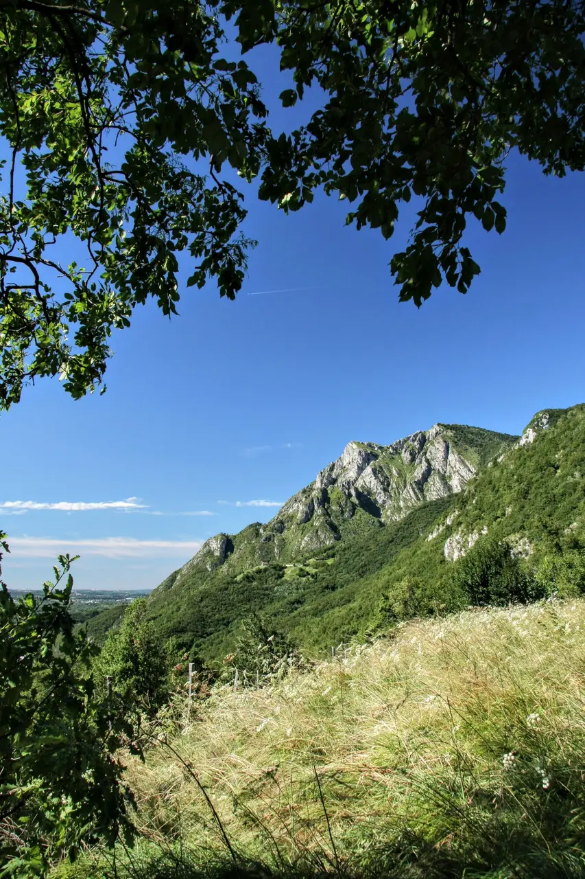
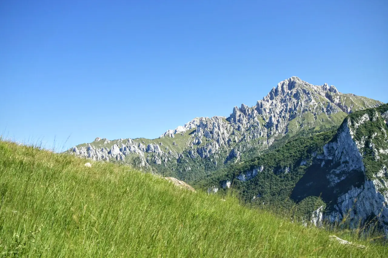
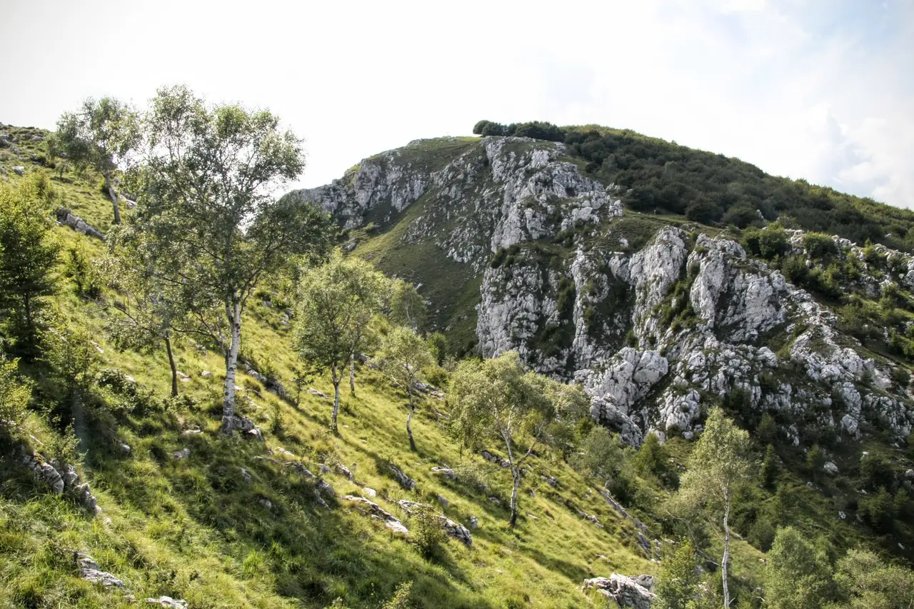
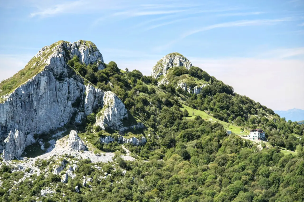
After a break we pick up path 6 again, which will take us all the way to the summit, at first climbing the sunny ridge of the Moregallo; then, in front of a rocky dome, it moves onto the south side, hiding the view of the lake from us.
On a steep and slippery track we climb through numerous tight hairpins to a notch on the ridge, from which we can once again admire the view over the lake.
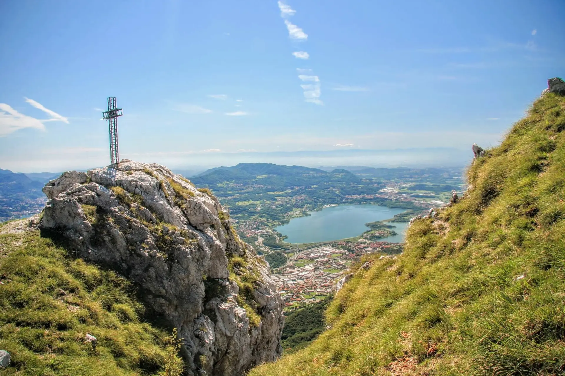
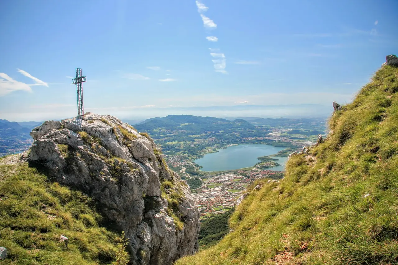
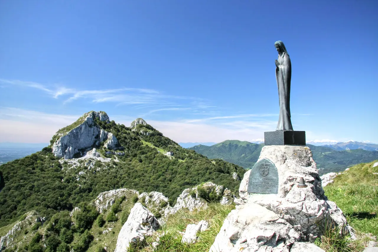
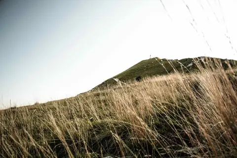
The summit of the Moregallo, now visible for the first time on the left, is still 20 minutes away: first we descend a few metres towards another saddle, then climb again up the last grassy ramp, at the top of which the summit cross (m1276, 1.30 hours) and the small statue of the Madonna finally appear.
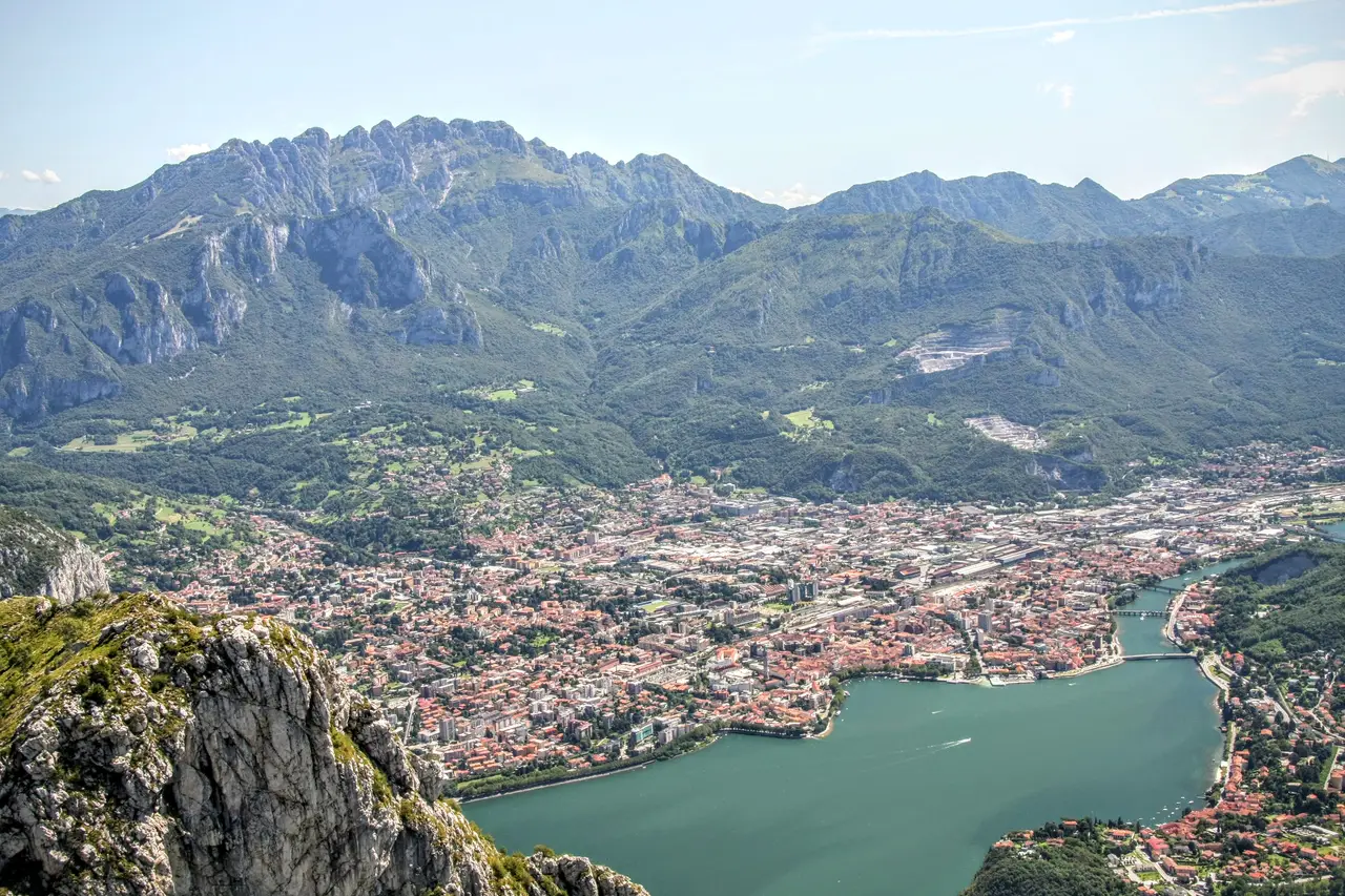
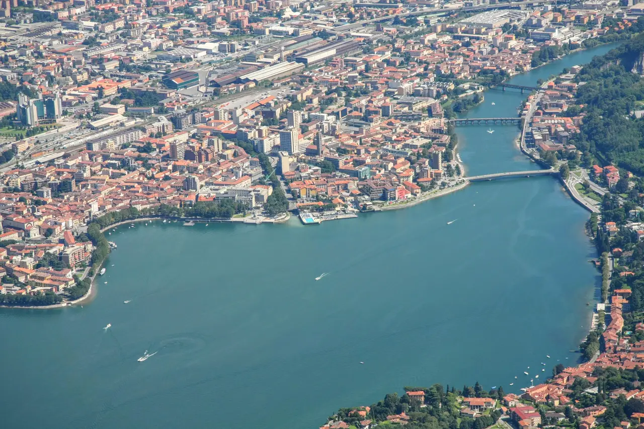
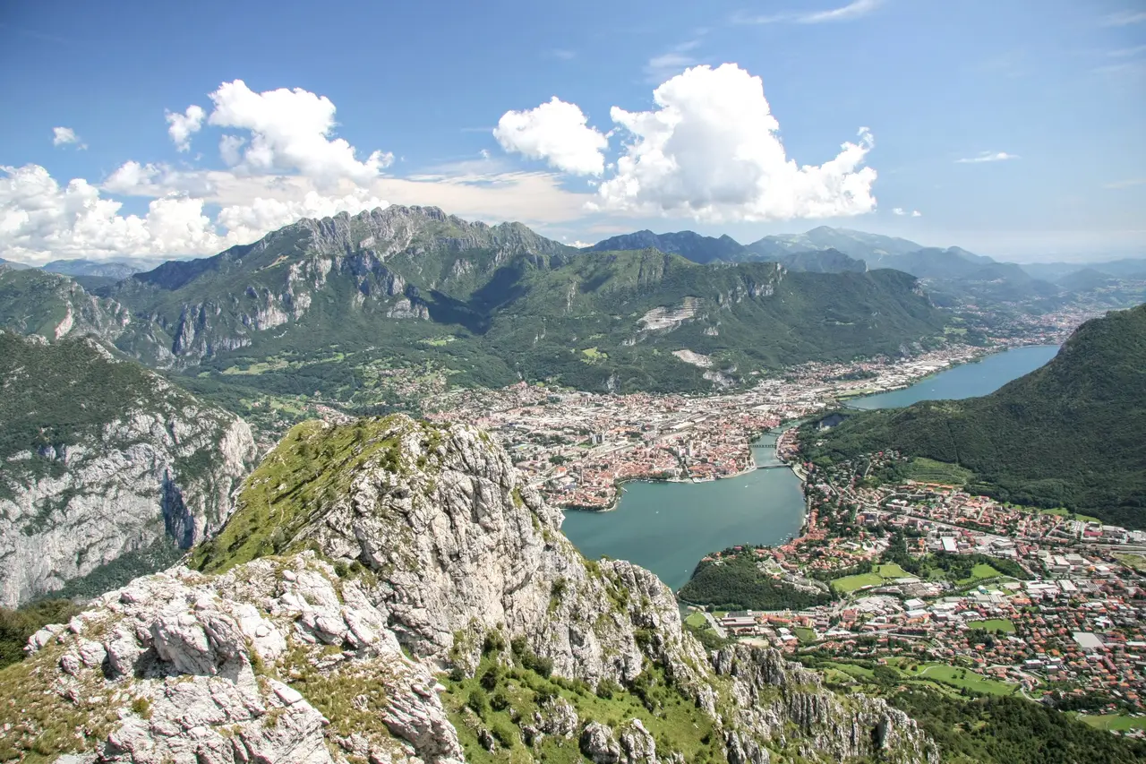
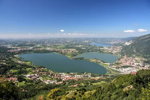
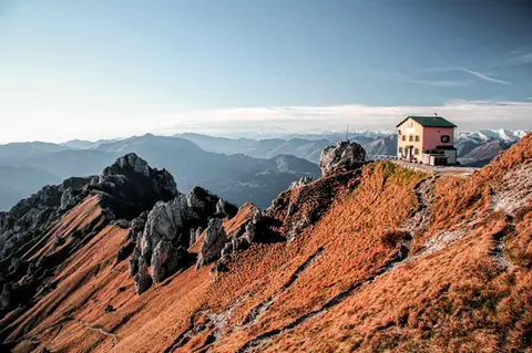
The potential views from the summit are partly blocked (to the north-east) by a small wood. There is a fine view of the Lecco branch of the lake, the Corni di Canzo with the Rifugio SEV, the Cornizzolo and Monte Rai, the Resegone, the Grigne and Monte Barro, a little green island rising from the plain.
The descent (2 hours) can be made by the same route, or down the west side (Bocchetta di Sambrosera), with a short section equipped with a few chains.