Monte San Primo and Rifugio Martina loop
The Prealps around Lake Como are the first mountains in Lombardy to lose their snow, and from as early as March to May they allow hikes that would be impossible further north, with the lake at your feet and the Alps still white on the horizon.
Here you will find the hikes in the Triangolo Lariano and the Lecco area that we recommend in spring, from the short climb to the Croce di Muggio to the San Primo loop with lunch at the Rifugio Martina.
An abbey and two winds
The climb to Monte Cornizzolo passes one of the most important Romanesque monuments in Lombardy: San Pietro al Monte, above Civate, a small monastic complex built mostly in the eleventh century at about 650 metres and reachable only on foot along a mule track. The church holds a fresco cycle inspired by the Book of Revelation, whose dating is still debated between the second half of the eleventh century and the first half of the twelfth, as well as stucco work and a crypt with high reliefs of the lives of Christ and the Virgin. Opening and visits are managed by the Amici di San Pietro association, so days and times should be checked before you set off.
Anyone walking above the lake soon learns to read the wind. The Tivano blows down from the north in the morning and the Breva comes up from the south in the afternoon, two thermal winds driven by the temperature difference between the mountains, the lake and the plain, and in spring the Breva can make the ridges of the Triangolo Lariano cooler and windier than the morning sun suggests. Beneath those ridges lies one of the deepest lakes in Europe, with a maximum depth that Encyclopaedia Britannica gives as 414 metres, a figure that makes more sense when you watch the slopes plunge into the water from the top of the Moregallo or the Croce di Muggio.
The hikes
By our rating, highest first. Browse them as photographs, as a list with all the numbers or on the map.
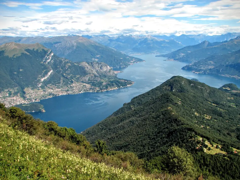
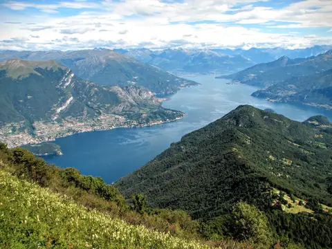 Lake ComoMonte San Primo and Rifugio Martina loopAlong the most panoramic ridge of the Triangolo Lariano, with lunch at the historic Rifugio Martina.
- Grade
- E
- Time
- 3:00h
- Distance
- 7km
- Ascent
- 550m
- Rating
- 8/10
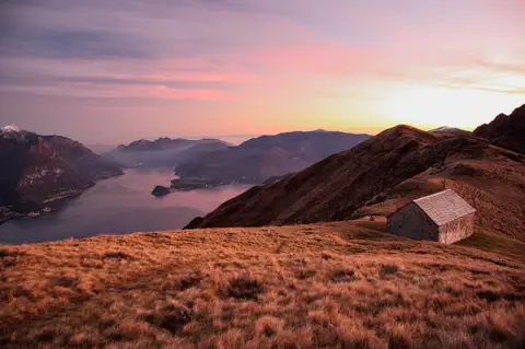 Lake ComoMonte Grona and Monte BregagnoAlong the grassy ridge between Monte Grona and Bregagno, face to face with Lake Como.
- Grade
- E
- Time
- 6:00h
- Distance
- 13km
- Ascent
- 1,120m
- Rating
- 8/10
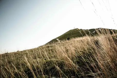 Lake ComoTo Monte Cornizzolo by way of San Pietro al MonteOne of the most panoramic summits of the Triangolo Lariano, by way of a Romanesque abbey.
- Grade
- E
- Time
- 5:00h
- Distance
- 11km
- Ascent
- 1,110m
- Rating
- 7/10
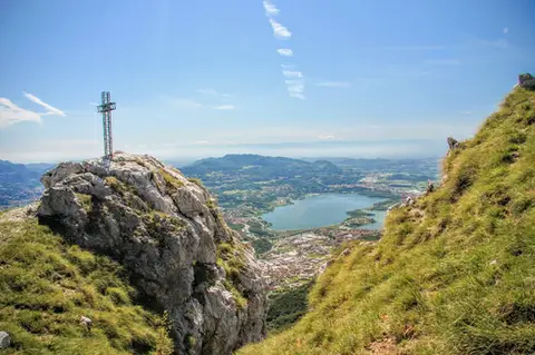 Lake ComoTo Monte Moregallo by way of Sant'IsidoroA hike to Monte Moregallo, an enjoyable hill close to Lecco and the Corni di Canzo.
- Grade
- E
- Time
- 4:30h
- Distance
- 8.5km
- Ascent
- 920m
- Rating
- 7/10
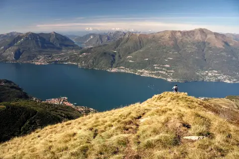 Lake ComoAlpe Giumello and Monte Croce di MuggioA short, easy hike to a panoramic summit high above Lake Como
- Grade
- T
- Time
- 1:30h
- Distance
- 3.5km
- Ascent
- 220m
- Rating
- 7/10
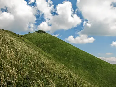 Lake ComoThe Boletto and Bolettone loopA loop along the grassy ridges of Monte Boletto and Monte Bolettone, squeezed between the plain and Lake Como
- Grade
- T
- Time
- 5:00h
- Distance
- 15km
- Ascent
- 740m
- Rating
- 7/10
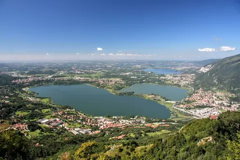 Lake ComoThe protected path on Monte BarroA slightly more entertaining alternative to the normal ascent of Monte Barro.
- Grade
- EE
- Time
- 2:00h
- Distance
- 3.5km
- Ascent
- 310m
- Rating
- 7/10
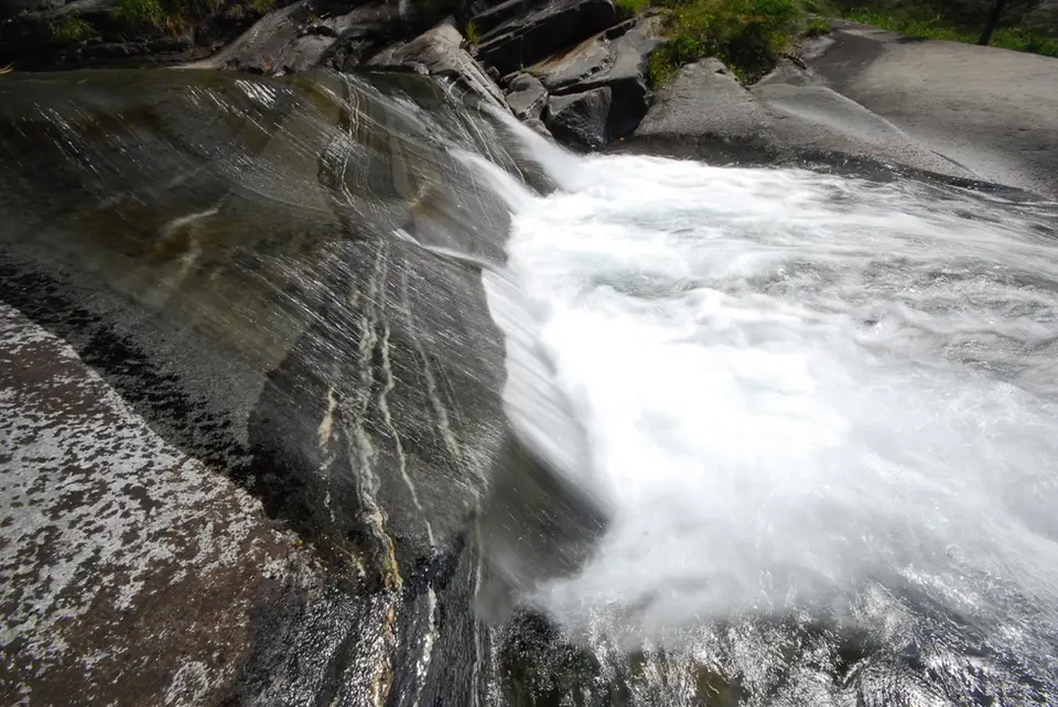
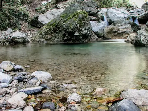 Lake ComoVia del Fiume in Val d'EraA protected path among little waterfalls and pools, in a deep, narrow valley at the foot of the Grigne.
- Grade
- EE
- Time
- 5:00h
- Distance
- 12km
- Ascent
- 710m
- Rating
- 7/10
Questions
The answers come from the hike pages listed here.
Which one is the best, in your view?
Monte San Primo and Rifugio Martina loop and Monte Grona and Monte Bregagno, all rated 8 out of 10.
Which one is the easiest?
Alpe Giumello and Monte Croce di Muggio: grade T, 1:30 hours of walking and 220 metres of ascent.
How long do these hikes take?
From 1:30 to 6:00 hours of walking, with ascents between 220 and 1,120 metres.
More guides
Other lists that share some of these hikes.