Monte Grona and Monte Bregagno
This is the list for anyone who leaves Milan in the morning and wants to be home for dinner: every hike whose starting point lies less than 80 kilometres from the city centre as the crow flies, which in practice means the Triangolo Lariano, the Lecco area and the Grigne, plus a trip to Lake Maggiore.
Next to each hike we show its distance from the centre of Milan: it is measured as the crow flies, so the road will always be a little longer, but it is a good way to rank the options before checking the traffic.
Good to know when leaving Milan
The mountains closest to Milan also have a place in literature: the novel I promessi sposi opens on the Lecco branch of Lake Como and the mountains around it, among them the Resegone, so called, Manzoni writes, because its many peaks in a row make it look like a saw. The name comes from resega, Lombard dialect for saw, and that serrated profile is still the quickest way to get your bearings when you look north from the plain on a clear day. Olate and Acquate, on the slopes of the mountain, have long competed for the honour of being home to Lucia's house.
The outing to Lake Maggiore, on the other hand, takes you into the Cadorna Line, the system of fortifications officially called the Frontiera Nord, built during the First World War to defend the plain against a possible invasion through Switzerland. That invasion never came, and the trenches, tunnels and gun emplacements were never used in combat; in the Second World War some of them served the partisans. For the tunnels it is worth bringing a head torch, and the rule is to take nothing away of what you find along the route.
The hikes
From nearest to farthest, measured as the crow flies from central Milan. Browse them as photographs, as a list with all the numbers or on the map.
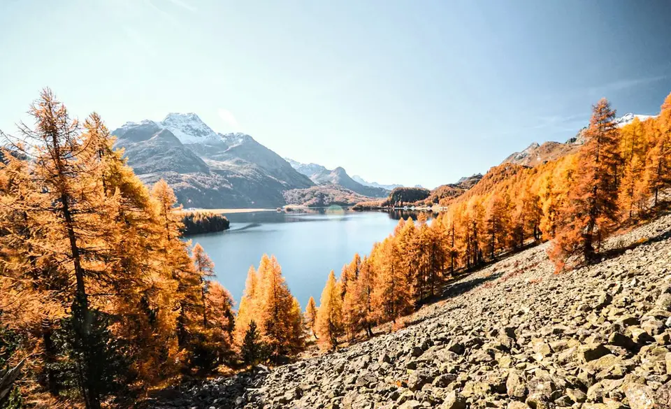
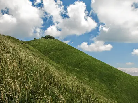 Lake Como · 40 km from MilanThe Boletto and Bolettone loopA loop along the grassy ridges of Monte Boletto and Monte Bolettone, squeezed between the plain and Lake Como
- Grade
- T
- Time
- 5:00h
- Distance
- 15km
- Ascent
- 740m
- Rating
- 7/10
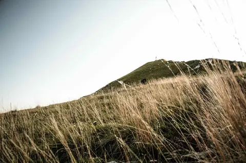 Lake Como · 42 km from MilanTo Monte Cornizzolo by way of San Pietro al MonteOne of the most panoramic summits of the Triangolo Lariano, by way of a Romanesque abbey.
- Grade
- E
- Time
- 5:00h
- Distance
- 11km
- Ascent
- 1,110m
- Rating
- 7/10
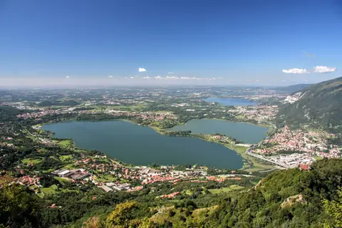 Lake Como · 44 km from MilanThe protected path on Monte BarroA slightly more entertaining alternative to the normal ascent of Monte Barro.
- Grade
- EE
- Time
- 2:00h
- Distance
- 3.5km
- Ascent
- 310m
- Rating
- 7/10
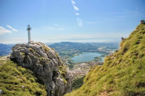 Lake Como · 45 km from MilanTo Monte Moregallo by way of Sant'IsidoroA hike to Monte Moregallo, an enjoyable hill close to Lecco and the Corni di Canzo.
- Grade
- E
- Time
- 4:30h
- Distance
- 8.5km
- Ascent
- 920m
- Rating
- 7/10
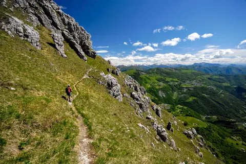 Lake Como · 50 km from MilanThe Via delle Creste Orientali on the ResegoneAn entertaining ridge path along the Dolomite-like towers of the Resegone.
- Grade
- EE
- Time
- 5:00h
- Distance
- 12km
- Ascent
- 920m
- Rating
- 8/10
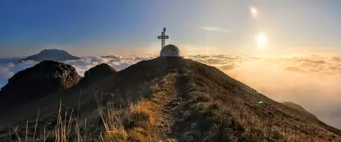 Lake Como · 52 km from MilanTo the igloo bivouac on Monte Due ManiAn easy summit facing the Grigne, ideal for a quick sunset outing from Lecco or Milan.
- Grade
- E
- Time
- 2:30h
- Distance
- 5km
- Ascent
- 500m
- Rating
- 7/10
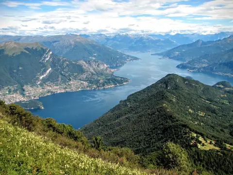 Lake Como · 52 km from MilanMonte San Primo and Rifugio Martina loopAlong the most panoramic ridge of the Triangolo Lariano, with lunch at the historic Rifugio Martina.
- Grade
- E
- Time
- 3:00h
- Distance
- 7km
- Ascent
- 550m
- Rating
- 8/10
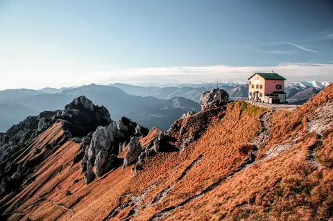 Lake Como · 52 km from MilanFrom Piani Resinelli to Rifugio RosalbaOne of the great classics of the Lombard Prealps. Dolomite-like views, an hour's drive from Milan.
- Grade
- E
- Time
- 3:00h
- Distance
- 6km
- Ascent
- 530m
- Rating
- 8/10
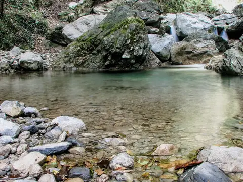 Lake Como · 53 km from MilanVia del Fiume in Val d'EraA protected path among little waterfalls and pools, in a deep, narrow valley at the foot of the Grigne.
- Grade
- EE
- Time
- 5:00h
- Distance
- 12km
- Ascent
- 710m
- Rating
- 7/10
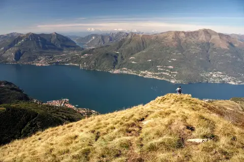 Lake Como · 66 km from MilanAlpe Giumello and Monte Croce di MuggioA short, easy hike to a panoramic summit high above Lake Como
- Grade
- T
- Time
- 1:30h
- Distance
- 3.5km
- Ascent
- 220m
- Rating
- 7/10
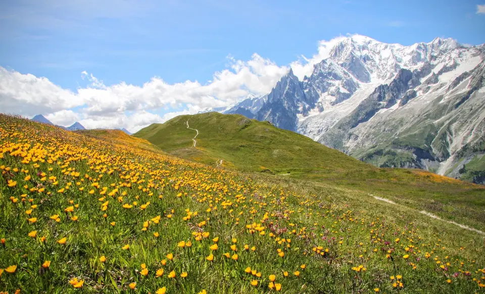
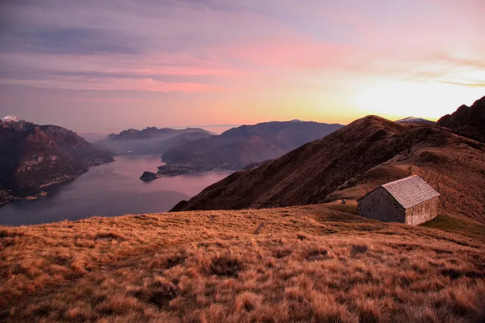
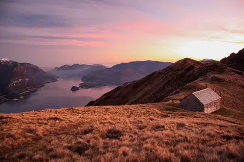 Lake Como · 66 km from MilanMonte Grona and Monte BregagnoAlong the grassy ridge between Monte Grona and Bregagno, face to face with Lake Como.
- Grade
- E
- Time
- 6:00h
- Distance
- 13km
- Ascent
- 1,120m
- Rating
- 8/10
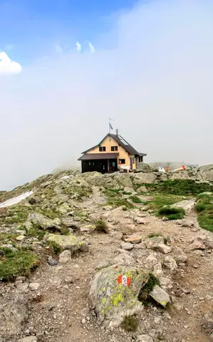 Valtellina · 70 km from MilanLoop of Rifugio Benigni and the Trona and Zancone lakesA long route in the upper Val Gerola, taking in a mountain hut, 4 lakes and a few ibex.
- Grade
- E
- Time
- 6:00h
- Distance
- 15km
- Ascent
- 970m
- Rating
- 8/10
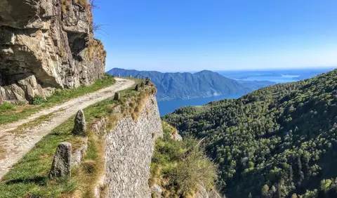 Piedmont · 75 km from MilanCima di Morissolo and the Linea Cadorna fortificationsA summit dropping sheer to Lake Maggiore, just 30 minutes' walk away, with a maze of Linea Cadorna tunnels.
- Grade
- T
- Time
- 1:30h
- Distance
- 3.5km
- Ascent
- 170m
- Rating
- 8/10
Questions
The answers come from the hike pages listed here.
Which one is the best, in your view?
The Via delle Creste Orientali on the Resegone, Monte San Primo and Rifugio Martina loop, From Piani Resinelli to Rifugio Rosalba and others, all rated 8 out of 10.
Which one is the easiest?
Cima di Morissolo and the Linea Cadorna fortifications: grade T, 1:30 hours of walking and 170 metres of ascent.
How long do these hikes take?
From 1:30 to 6:00 hours of walking, with ascents between 170 and 1,120 metres.
Which one is closest to Milan?
The Boletto and Bolettone loop, which starts 40 km as the crow flies from central Milan.
More guides
Other lists that share some of these hikes.