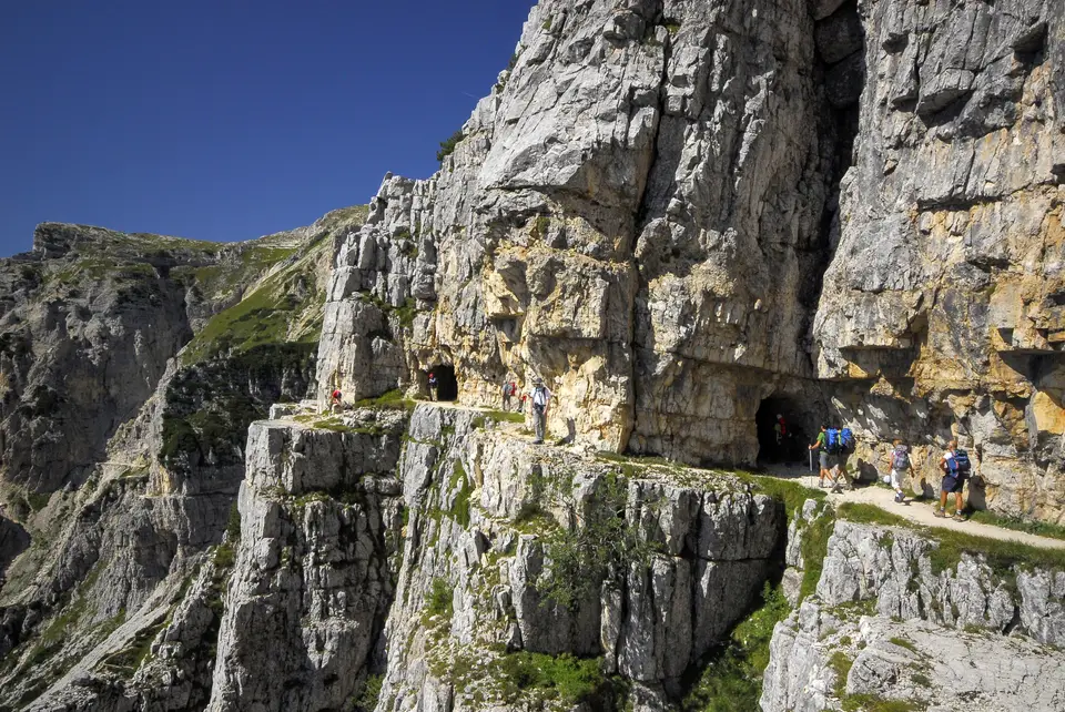
The last metres of the spectacular military road of the 52 Gallerie, in the memorial zone of the Pasubio.
Most mountain paths are recent tracks, first opened by shepherds and valley inhabitants, then consolidated by the Alpine Clubs and local authorities. But some paths have more complex or ancient histories, from old mule tracks to military roads, bearing witness to the different roles these routes have played over the centuries. They were often used for strategic purposes, such as reaching alpine villages and defence in wartime, or to make trade (or smuggling) and communication between valleys easier.
Some of the routes in this section have ancient histories, such as the Via Mala cut into the Cardinello gorge, which saw Napoleonic troops pass through. Many routes have a military background, often linked to the First World War, such as the Linea Cadorna, a system of fortifications and trenches built between 1916 and 1918 along the border between Italy and Switzerland, or the spectacular Strada delle 52 Gallerie. On these paths we can see up close the traces left by the troops and reflect on the hardships and challenges soldiers faced in such harsh surroundings.
Walking the historic trails of the Alps is especially fascinating because it lets you immerse yourself in a kind of open-air museum. Along these routes, hikers can discover remarkable works of engineering, such as bridges, tunnels and terraces, that bear witness to the skill and tenacity of the people who built and travelled these routes over the centuries.
Good to know about historic trails
The Strada delle 52 Gallerie was built over a few months of 1917 by the 33rd Miners Company of the engineers, led by Lieutenant Giuseppe Zappa, to supply the Pasubio front line out of reach of enemy fire; of its roughly six and a half kilometres, more than two run through tunnels. In the same year, on the Lagazuoi, Italian and Austro-Hungarian troops fought a war of mines, digging tunnels beneath each other's positions and detonating charges that changed the very shape of the mountain. Those tunnels are now part of an open-air museum with free entry, but they remain dark, damp and narrow, so a head torch is essential and a helmet is a good idea.
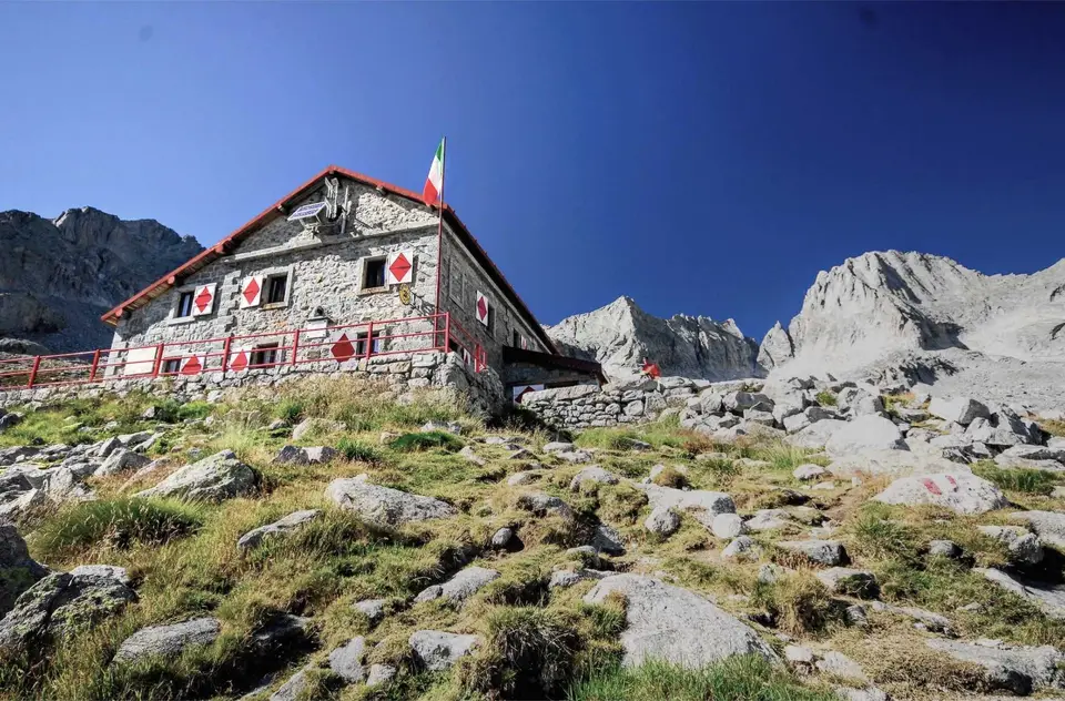
Not every historic trail is military. In Valle Gesso the mule tracks and former military roads date partly from the time when Victor Emmanuel II, having secured exclusive hunting rights in 1857, had the royal hunting lodge of the Valasco built, now a mountain hut; the Tracciolino was opened in the 1930s as a service track for the dams of Val dei Ratti and Val Codera, with a small railway. As for the remains of the Great War, Italian Law 78 of 2001 recognises their historical value and governs their protection: the practical rule is to take nothing away and to report anything that looks significant.
The hikes
By our rating, highest first. Browse them as photographs, as a list with all the numbers or on the map.
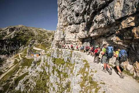 DolomitesThe Strada delle 52 Gallerie on the PasubioA visit to Rifugio Achille Papa and the Zona Sacra del Pasubio, by way of the spectacular Strada delle 52 Gallerie
- Grade
- E
- Time
- 7:00h
- Distance
- 17km
- Ascent
- 1,130m
- Rating
- 9/10
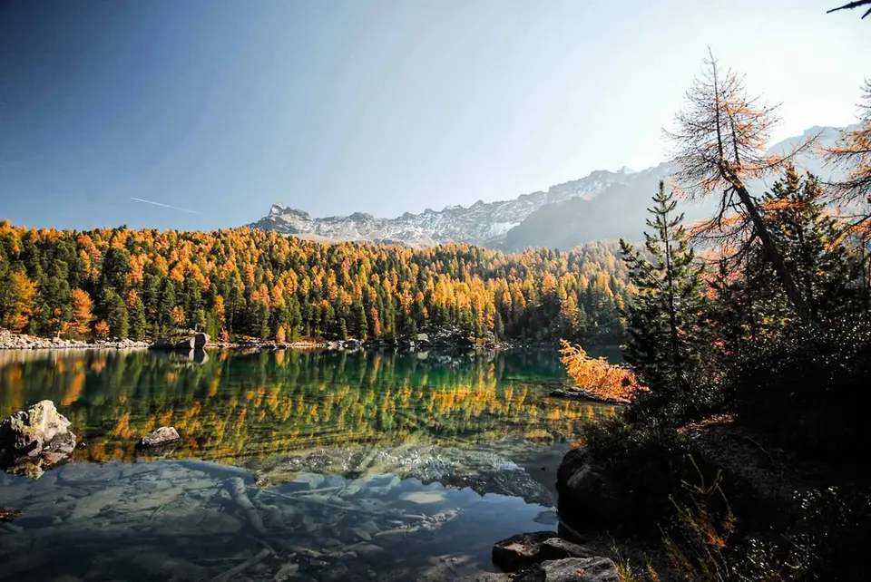
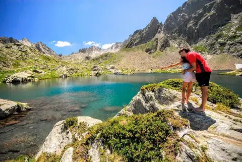 PiedmontRifugio Valasco, Rifugio Questa and the military mule tracks of ValscuraIn the upper Valle Gesso: remarkable military roads, the crystal-clear lakes of Valscura and Claus, and two historic mountain huts.
- Grade
- E
- Time
- 7:00h
- Distance
- 20km
- Ascent
- 1,020m
- Rating
- 9/10
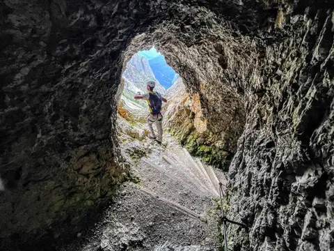 DolomitesLagazuoi loop hike300m of ascent through military galleries and tunnels to the panoramic terrace of the Lagazuoi. Optional: the Ferrata degli Alpini on the Col dei Bos (C/D)
- Grade
- E
- Time
- 5:00h
- Distance
- 10km
- Ascent
- 700m
- Rating
- 8/10
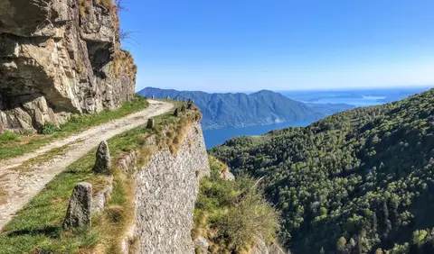 PiedmontCima di Morissolo and the Linea Cadorna fortificationsA summit dropping sheer to Lake Maggiore, just 30 minutes' walk away, with a maze of Linea Cadorna tunnels.
- Grade
- T
- Time
- 1:30h
- Distance
- 3.5km
- Ascent
- 170m
- Rating
- 8/10
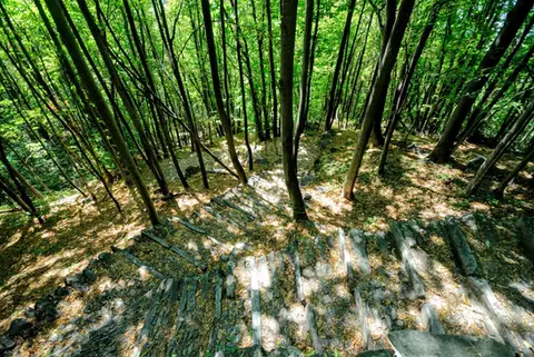 ValchiavennaAcquafraggia Falls, Savogno and DasileA loop around the Acquafraggia Falls: ladders, pools, Lilliputian villages and old mule tracks.
- Grade
- T
- Time
- 3:00h
- Distance
- 5.5km
- Ascent
- 620m
- Rating
- 8/10
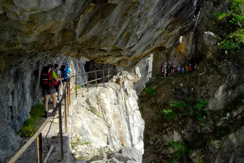 ValchiavennaThe Sentiero del TracciolinoThe Sentiero del Tracciolino: 10km of galleries and tunnels between San Giorgio (Val Codera) and the Val dei Ratti.
- Grade
- E
- Time
- 6:00h
- Distance
- 15km
- Ascent
- 1,000m
- Rating
- 8/10
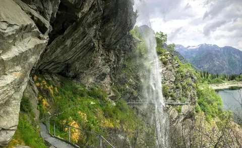 PiedmontThe Valle Antrona loop: Lago Antrona and Lago di CampliccioliA short hike around the lakes of Antrona and Campliccioli, in the lower Valle Antrona.
- Grade
- T
- Time
- 3:00h
- Distance
- 10km
- Ascent
- 400m
- Rating
- 7/10
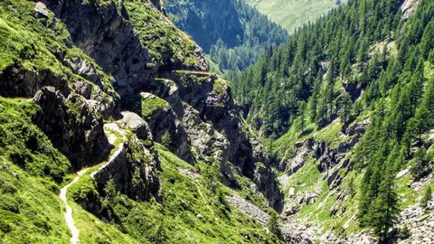 ValchiavennaThe Sentiero del Cardinello (or Via Mala)Carved into the rock of a narrow gorge, the Sentiero del Cardinello is one of the oldest and most spectacular stretches of the Via Spluga.
- Grade
- E
- Time
- 4:30h
- Distance
- 12km
- Ascent
- 660m
- Rating
- 7/10
Questions
The answers come from the hike pages listed here.
Which one is the best, in your view?
The Strada delle 52 Gallerie on the Pasubio and Rifugio Valasco, Rifugio Questa and the military mule tracks of Valscura, all rated 9 out of 10.
Which one is the easiest?
Cima di Morissolo and the Linea Cadorna fortifications: grade T, 1:30 hours of walking and 170 metres of ascent.
How long do these hikes take?
From 1:30 to 7:00 hours of walking, with ascents between 170 and 1,130 metres.
More guides
Other lists that share some of these hikes.