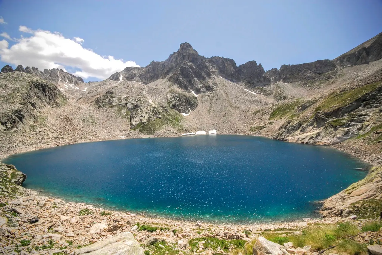
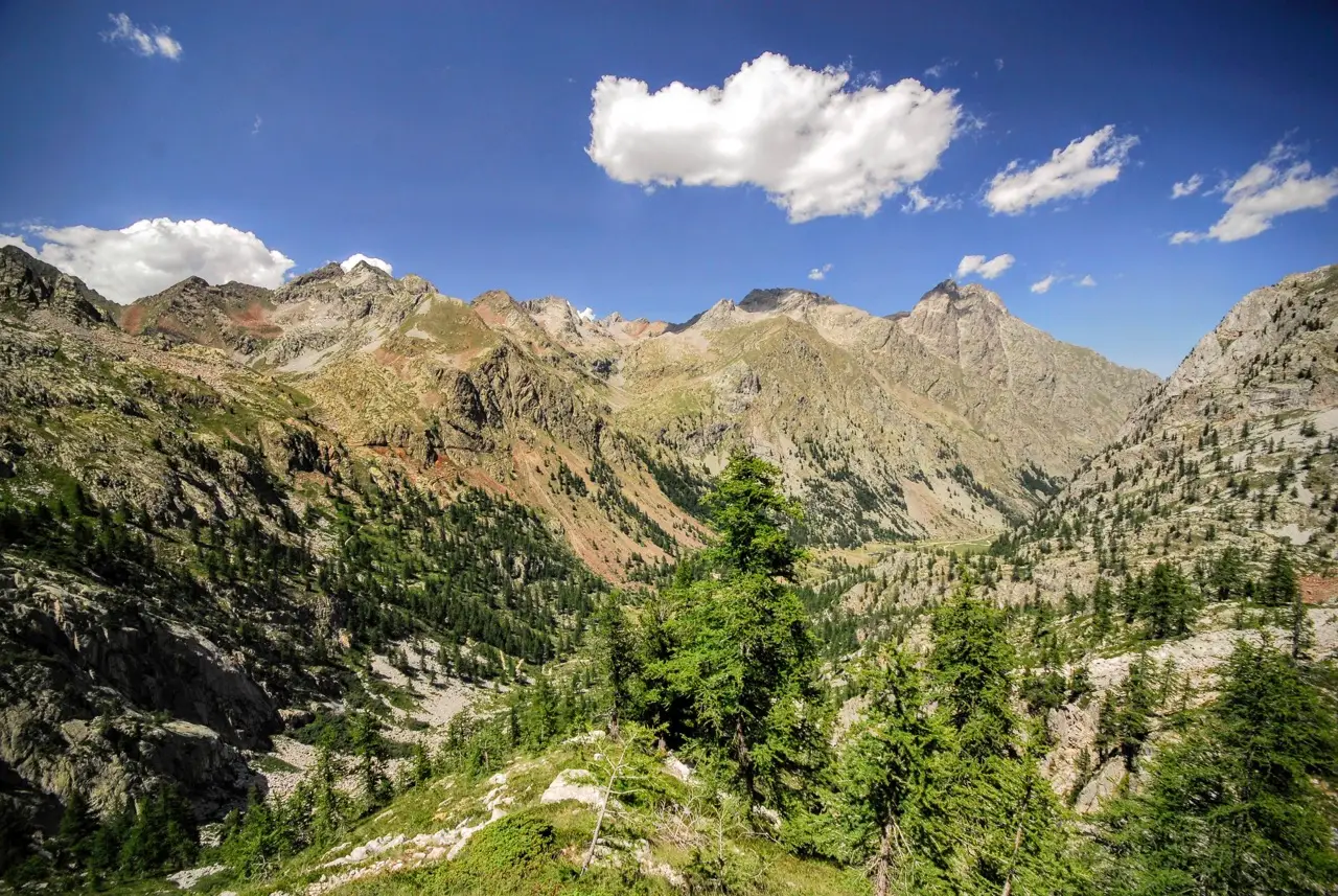
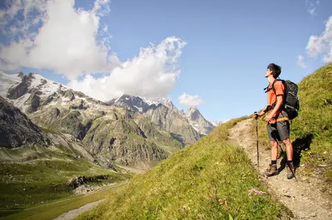
A fine loop in the Alta Valle Gesso that has more or less everything a perfect hike needs: crystal-clear lakes, paved mule tracks, huts serving polenta, waterfalls, and the odd bizarre building put up by some nobleman with too much money; all that is missing is a glacier and we would hit the jackpot.
From Terme di Valdieri to Rifugio Valasco
We start from Terme di Valdieri (m1410). Past the spa there is a large car park at 3.50€ a day. The first stretch is a little monotonous, a valley-floor dirt road through the woods. A path lets us cut a few of the hairpins.
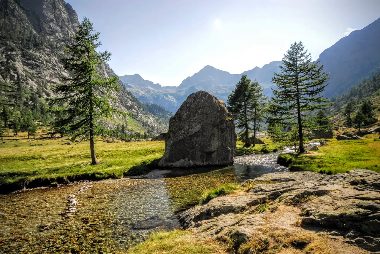
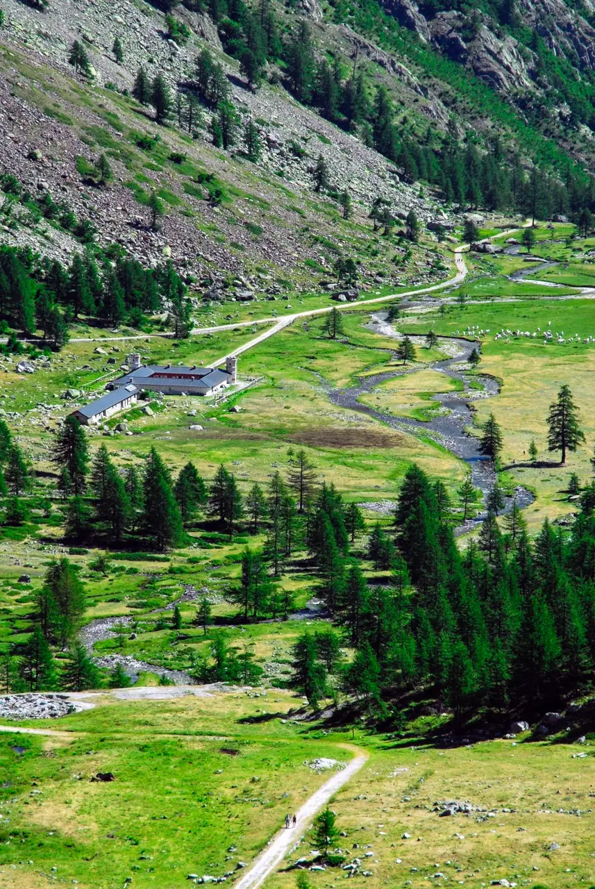
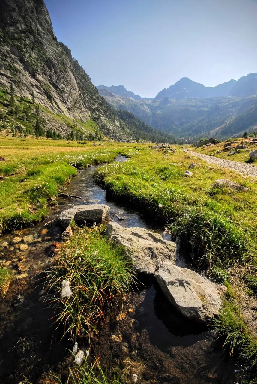
The sound of a waterfall announces our arrival at the Piana del Valasco (m1763, 1 hour). The postcard view at the entrance to the plain, with a couple of firs, enormous rockfall boulders and the river widening into crystal-clear pools, looks as if a landscape designer had drawn it up at a desk. From here the scenery is simply spectacular for the rest of the hike.
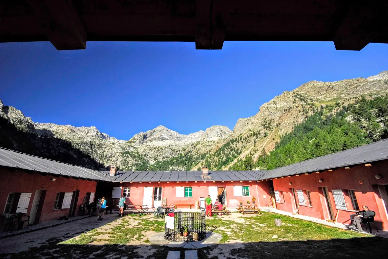
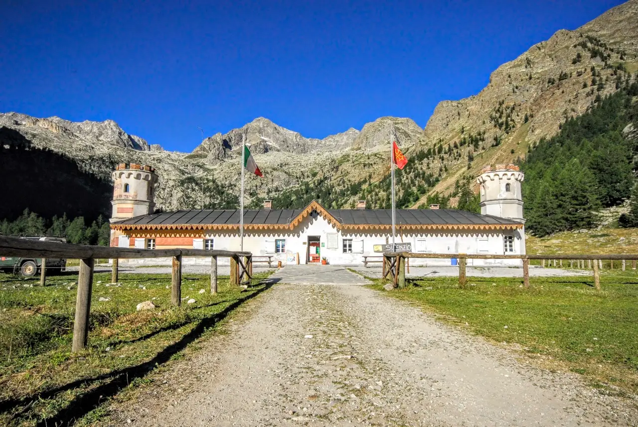
On the level we reach Rifugio Valasco (m1764, 10 minutes), a bizarre building with 2 turrets and a lovely central courtyard, once the summer hunting lodge of Victor Emmanuel II of Savoy.
Military Road 452 Valasco - Valscura
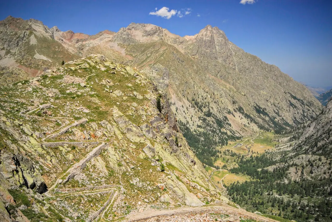
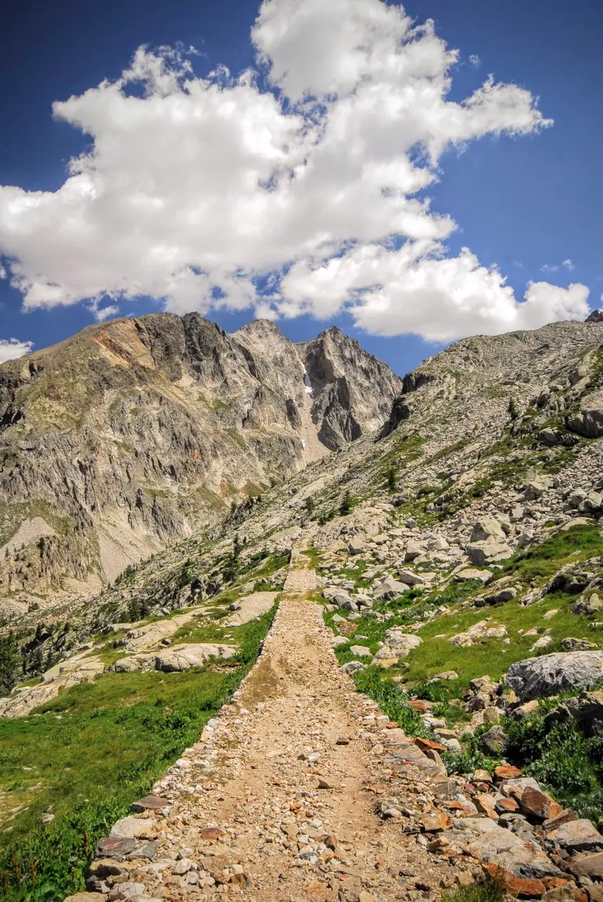
We pick up the dirt road again, which now starts climbing on the right-hand side of the valley. Another waterfall greets us at the Piana Superiore di Valasco, where we catch our breath before taking on the steepest climb of the hike. Here the dirt road begins to reveal the care that went into the original route, a military road of some strategic importance, first opened in the late 1800s and then rebuilt in 1909 and around 1930.
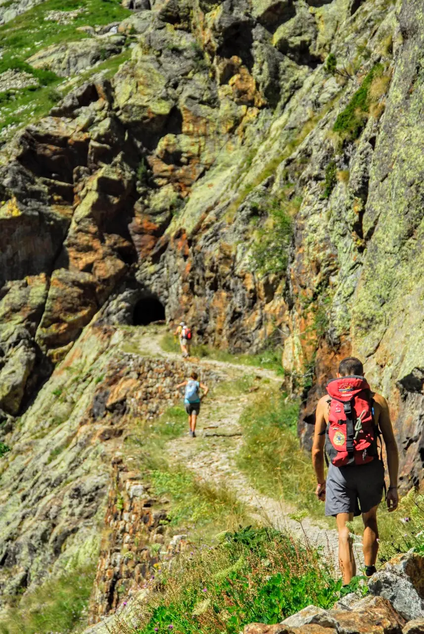
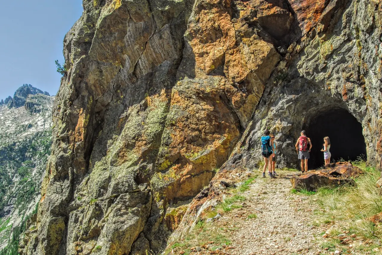
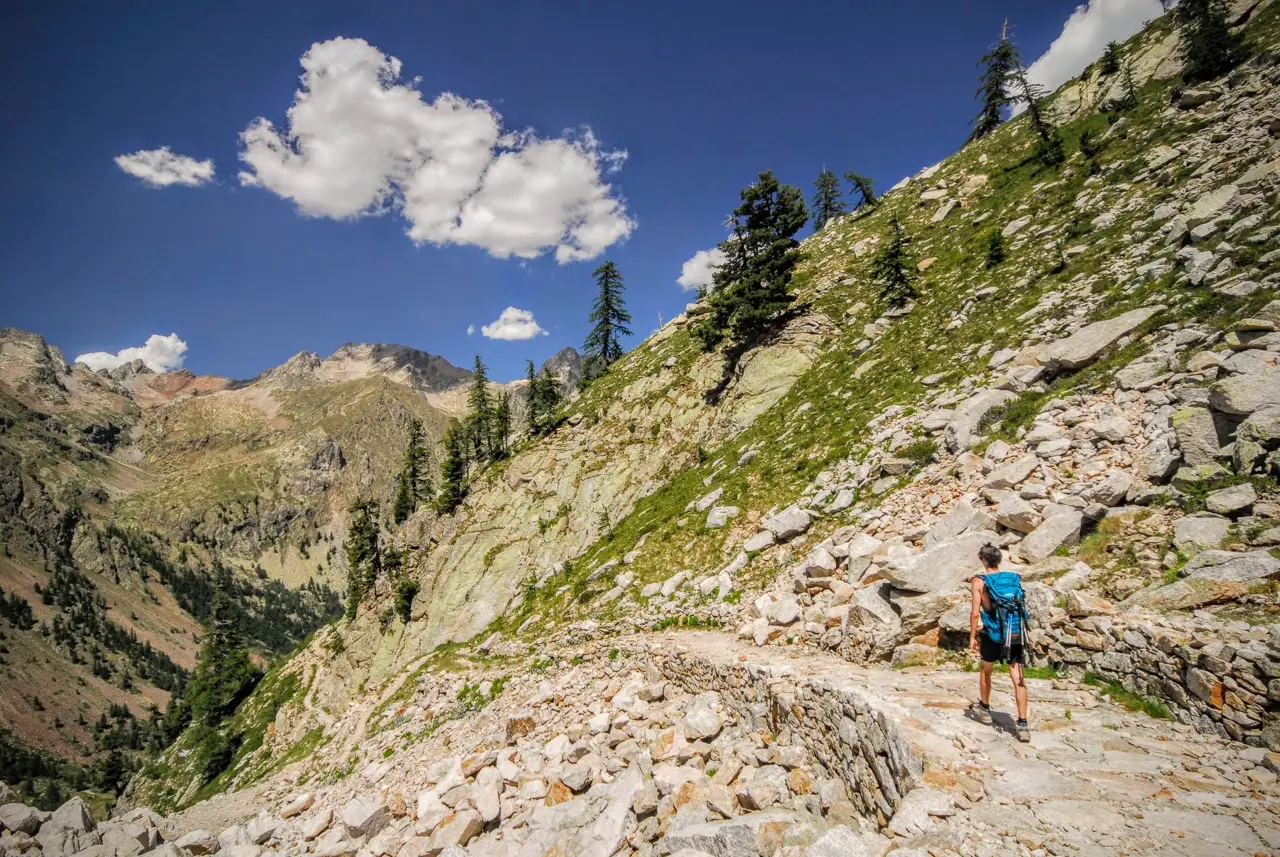
Past 2000 metres, the paving turns north and leaves the woods. After a 600-metre traverse the route splits: on the left, the 1909 track climbs in steep hairpins. The wider road, from 1930, instead goes on to trace a broad hairpin (needed to bring artillery up to Lago di Valasco), then cuts a short tunnel through the mountain before rejoining the 1909 cart track.
We continue along this incredible feat of engineering to Lago Inferiore di Valscura (m2260, 1:30 hours). Just before the lake lie the ruins of the encampments of the Third Alpini Company of 1888, defending the Baisse de Druos, about an hour's walk away on the border with France. At their peak, these encampments housed 140 men and 2 officers.
The Valscura - Fremamorta military mule track
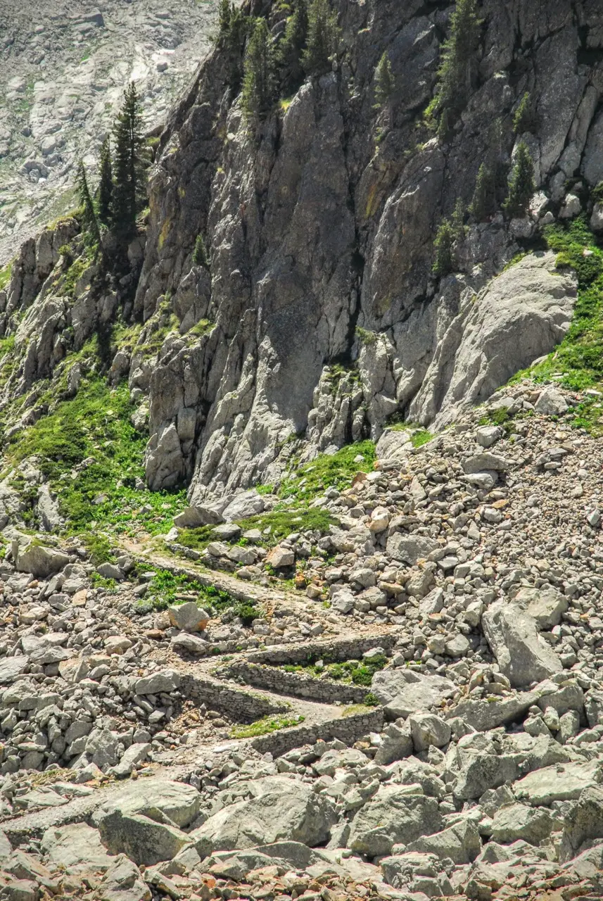
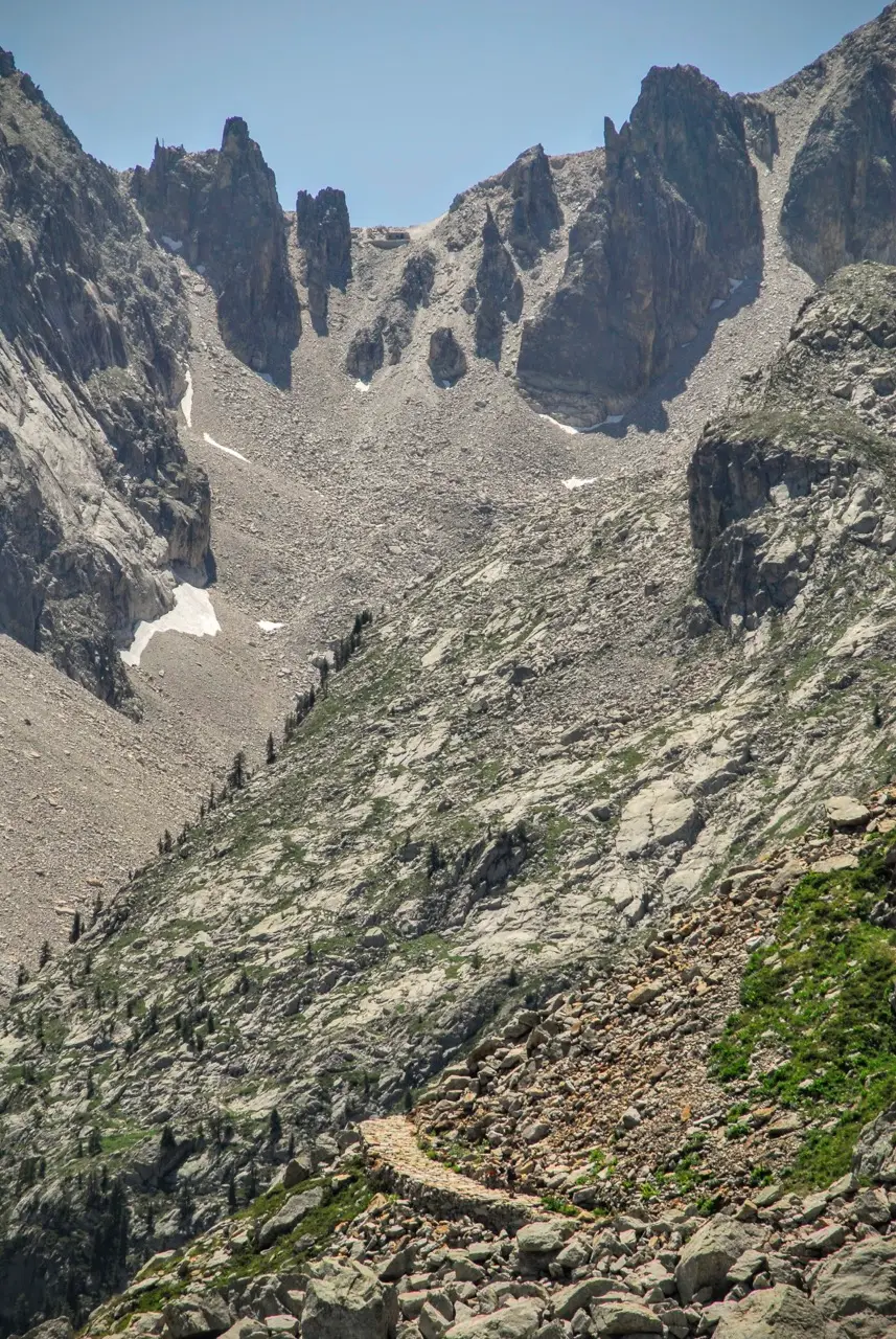
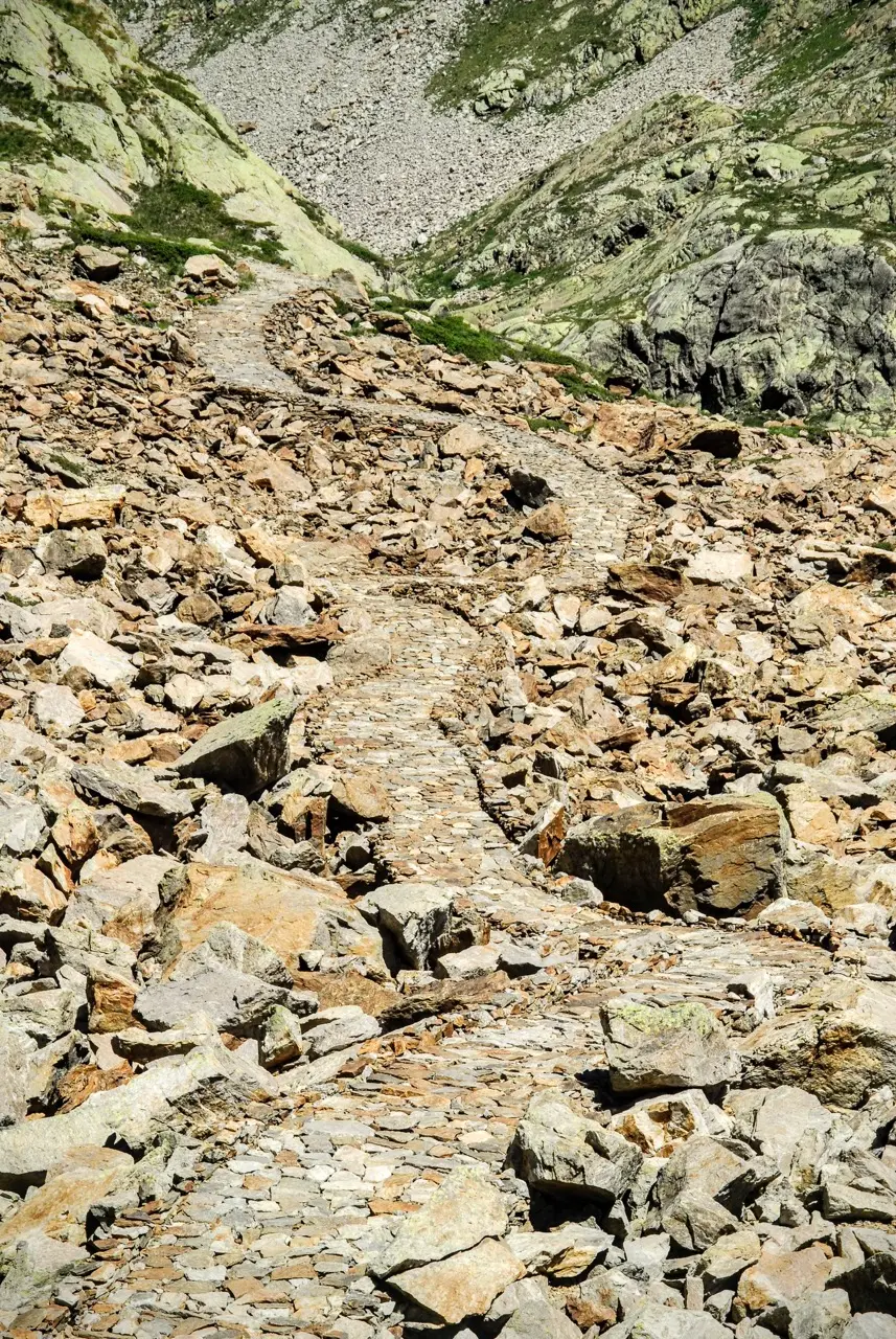
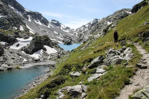
From Lago Inferiore di Valscura begins the most spectacular stretch of the hike. The military road narrows to a mule track, but what it loses in width it gains in quality. The paving is made of flat stones fitted perfectly together. On an even gradient, the mule track makes its way through scree and boulder fields, drawing a pale, uniform strip across a landscape of jumbled rocks.
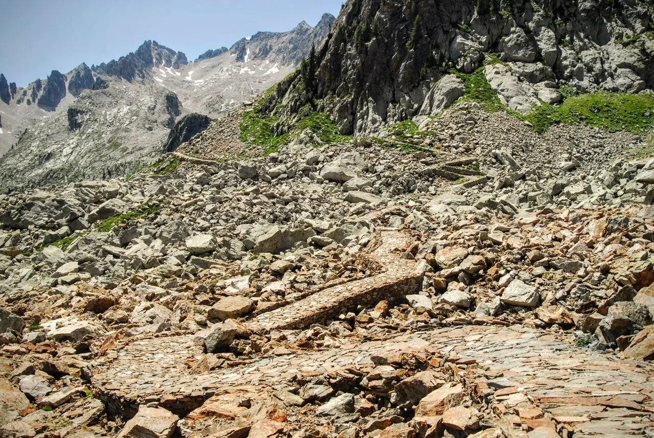
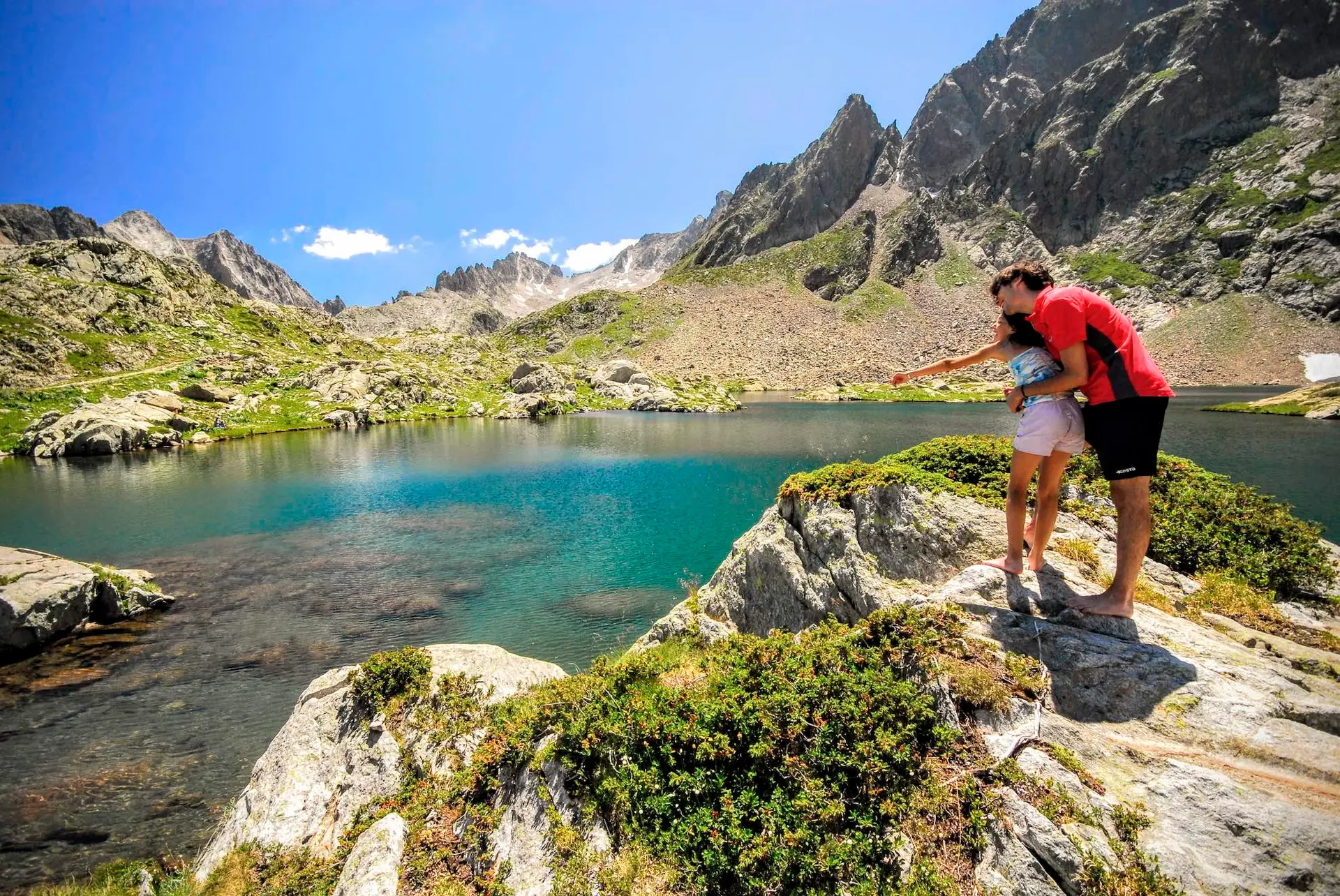
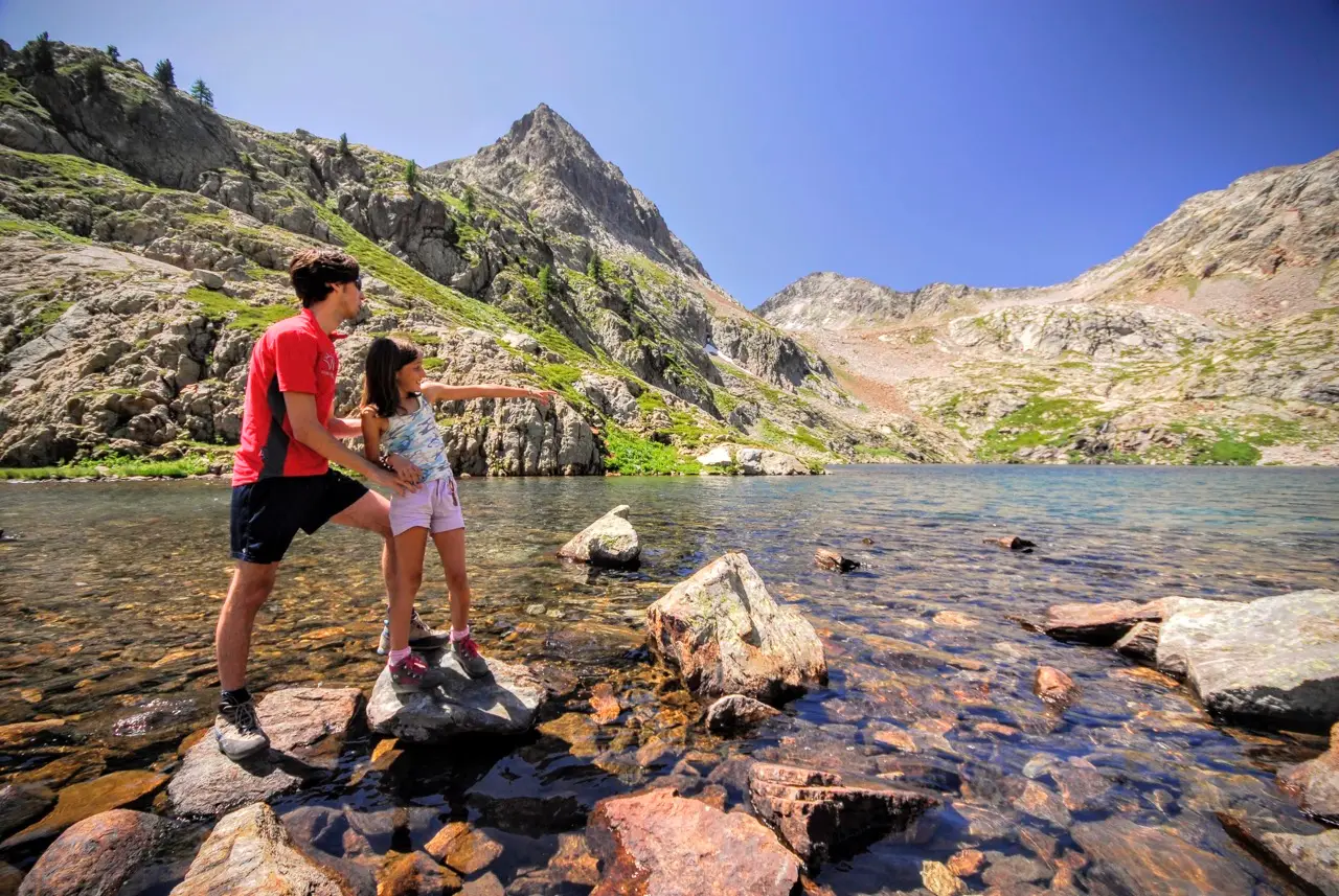
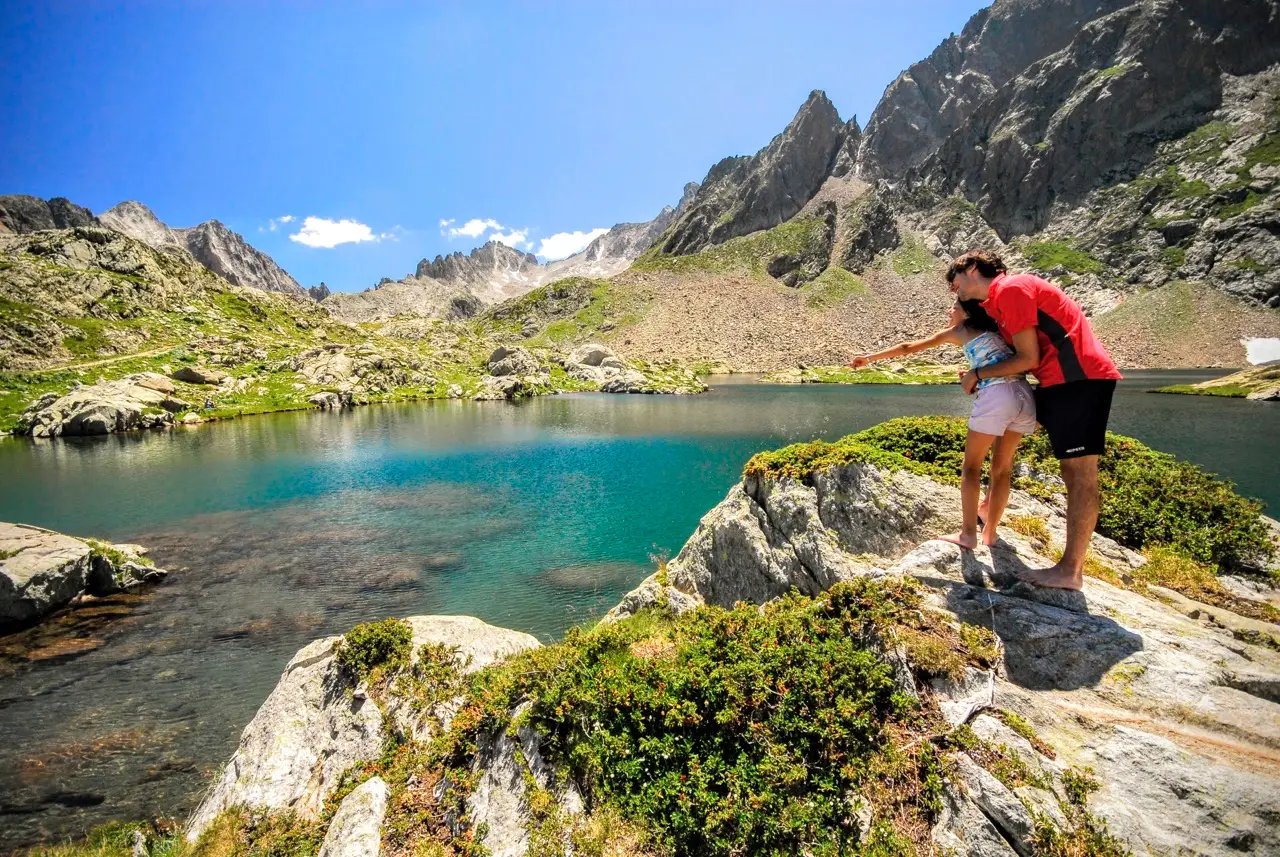
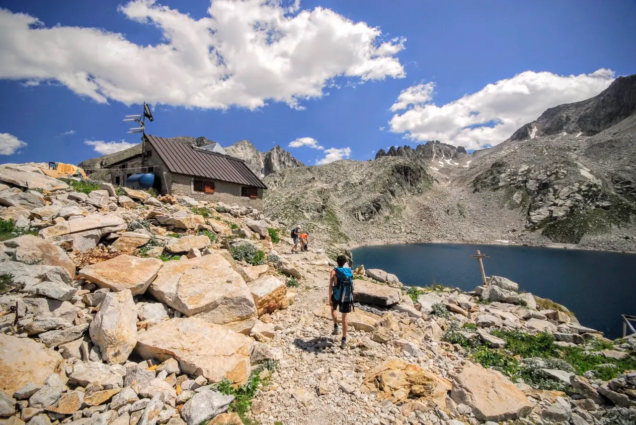
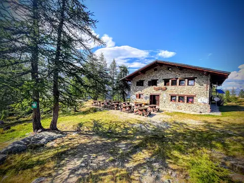
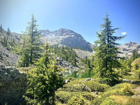
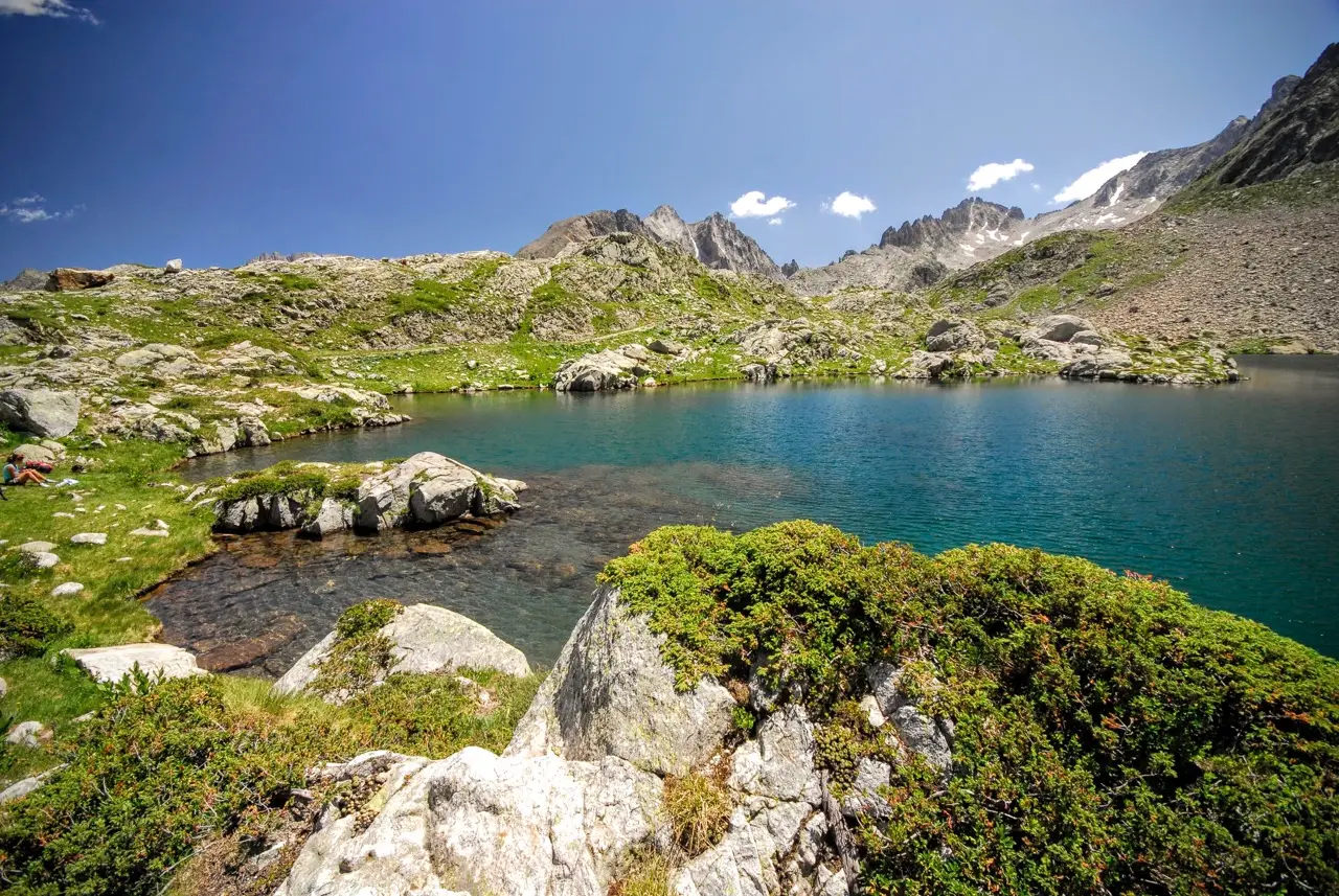
On this track we first reach Lago del Claus (m2340, 20 minutes), the most beautiful of the three lakes we visit today, then Rifugio Emilio Questa at Lago delle Portette (m2380, 15 minutes)
For the return we can descend by a steep path from Rifugio Emilio Questa, but better still we can traverse across to the Valle Morta and from there descend on a gentler gradient to the Piana del Valasco (1:30 hours). From there we return to Terme di Valdieri (1 hour).