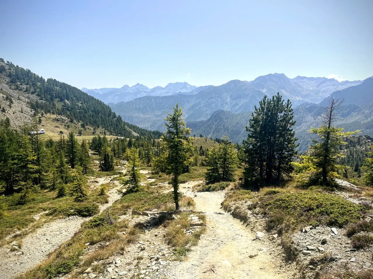
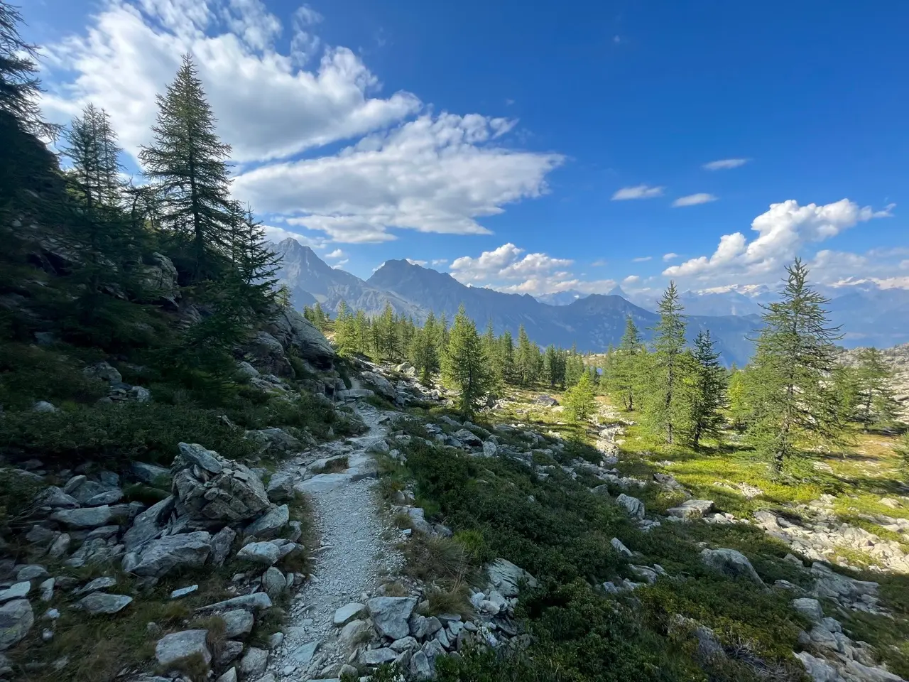
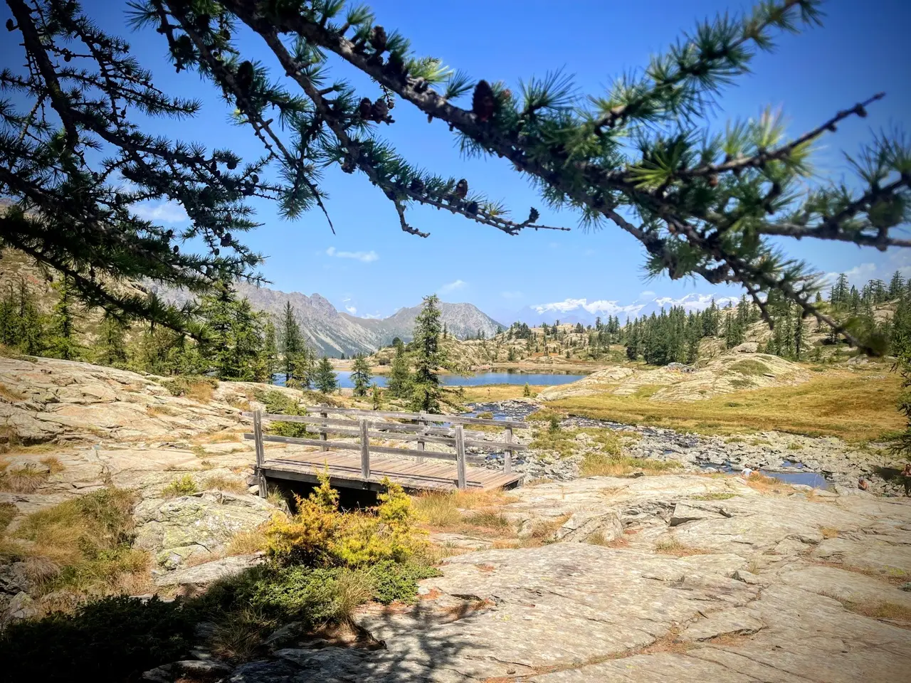
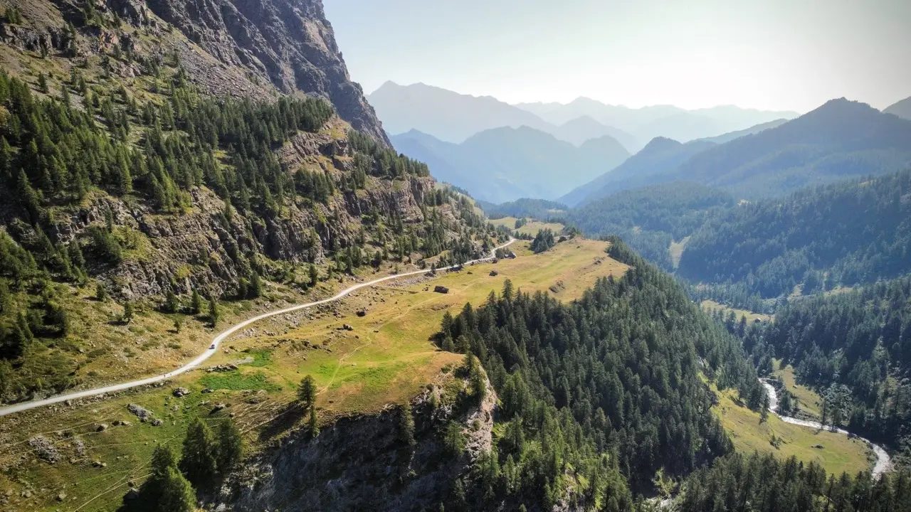
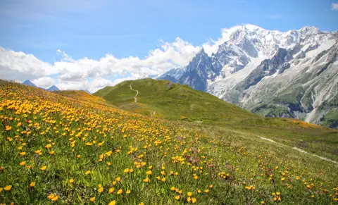
The Monte Avic Natural Park, in the lower Aosta Valley, is famous for a constellation of crystal-clear lakes, crowned by views of the distant Monte Bianco and Monte Rosa.
One of the best-known hikes in the Monte Avic Natural Park is the one to Rifugio Barbustel and the lakes around it, set in an open larch wood reminiscent of the wild nature parks of North America. Although Rifugio Barbustel lies in the Valle di Champdepraz, most people reach it from the Valle di Champorcher instead, where the starting point is higher (about 1750 m, instead of the 1250 m of Covarey, the starting point in the Valle di Champdepraz).
This hike combines the classic walk to Rifugio Barbustel with a long 27km loop that tops out at the 3153m of Monte Glacier, collecting 7 lakes and tarns and 3 mountain huts along the way, and finishing on the balcony between Dondenaz and Brenvey, dotted with alpine pastures and farmhouses.
Fit hikers can complete the loop in a day; otherwise the hike can be split in 2, stopping at Rifugio Barbustel (only 2 hours' walk, so ideal for setting off on a Friday afternoon) and completing the loop the next day (about 10 hours' walk). If instead you plan to go only to Rifugio Barbustel, head to the dedicated hike.
Day 1: from Cort to Rifugio Barbustel (2 hours)
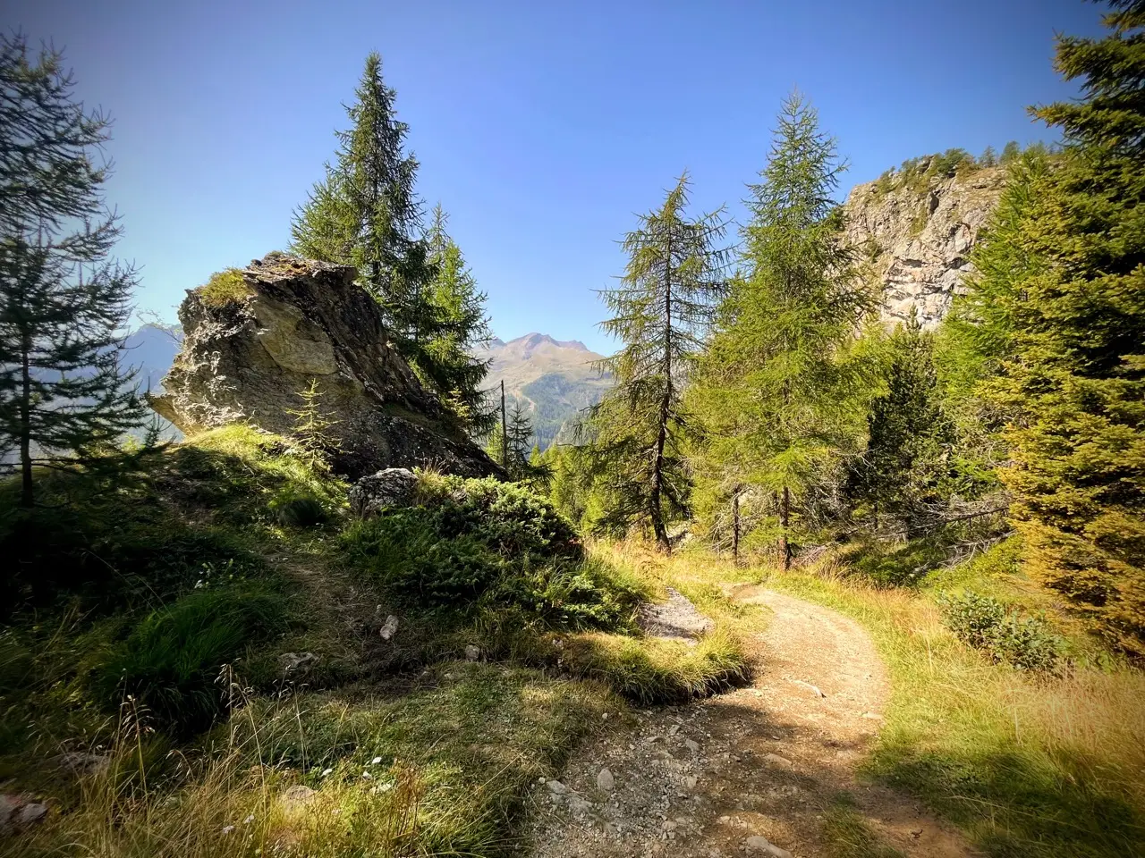
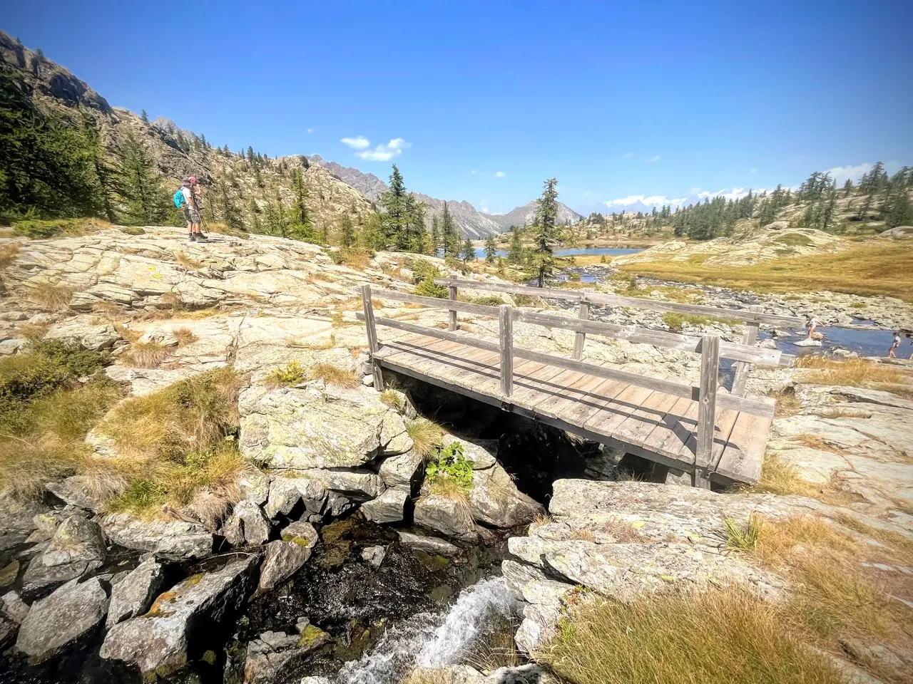
Having parked in one of the car parks near Alpe Cort (1760 m), we start climbing alongside the outflow of Lago Muffé, keeping close to its waters and hopping from the true left to the true right bank, accompanied by a fine wood of fir and larch. When the conifers thin out and the path levels off, we spot the hut of the Bar Ristoro Muffé, a few metres from the clear waters of Lago Muffé (2080 m, 50 minutes). The short walk, the altitude, the crystal-clear and not too cold lake (ideal for a swim) and the beauty of the hut make this an ideal (and very popular) destination for young families.
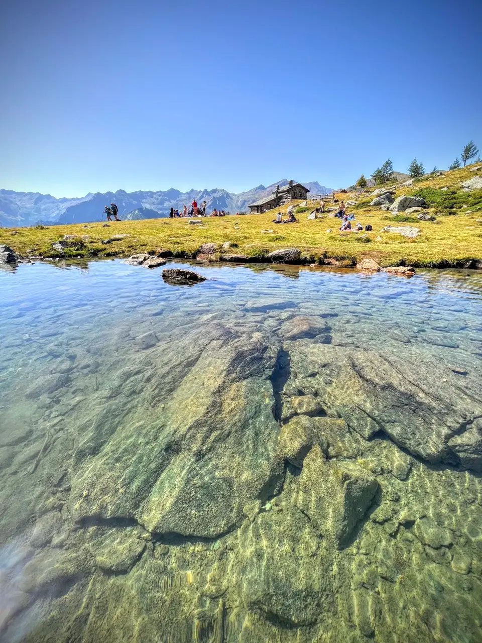
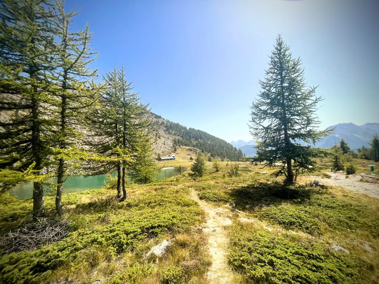
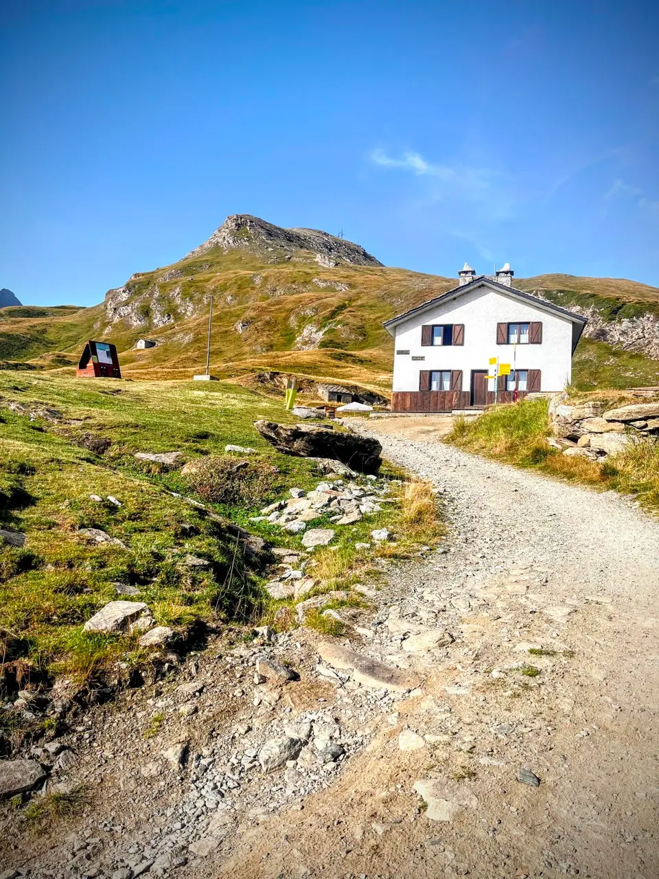
We, however, carry on towards the Col Lago Bianco (2309 m, 40 minutes), winding across a plateau dotted with scattered larches. At the pass we cross over into the Valle di Champdepraz and in a few minutes reach Rifugio Barbustel (2205 m, 15 minutes).
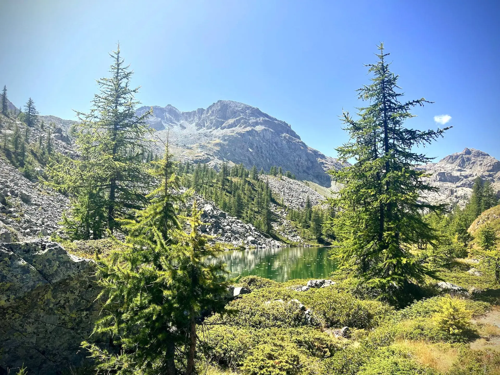
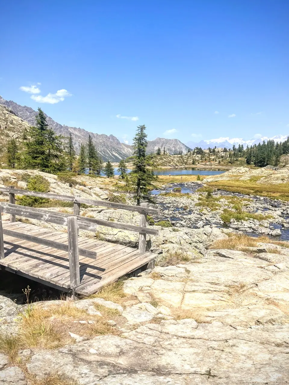
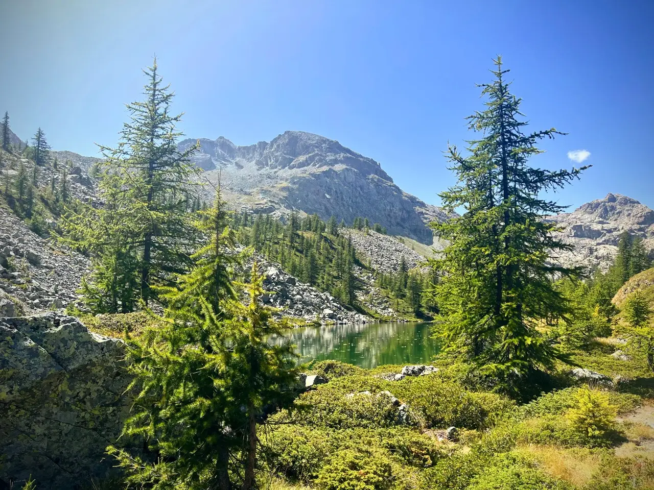
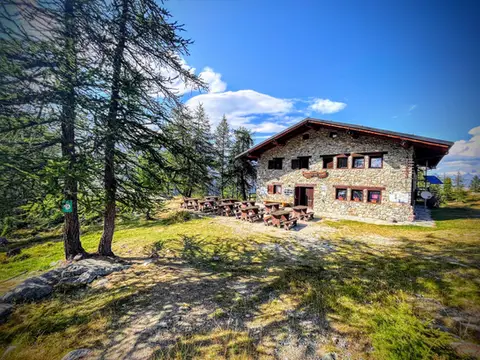
At Rifugio Barbustel we find a similar landscape, with scattered larches that offer glimpses of turquoise lakes, and the snowy peaks of Monte Rosa on the horizon. If we plan to spend the night here, we can enjoy the afternoon with a swim in Lago Bianco, or a stroll to the viewing terrace a few metres north of the hut, and on as far as the marshy Lago Vallette.
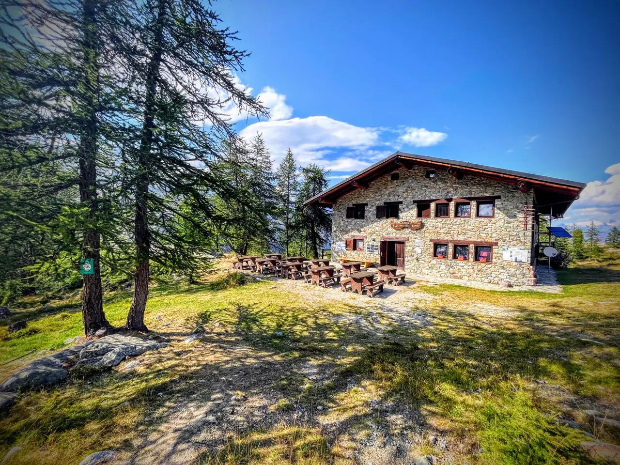
Day 2: Rifugio Barbustel, Gran Lago, Monte Glacier, Rifugio Dondena, Cort
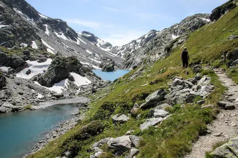
The second day holds the bulk of the walking (about 10 hours at a normal pace). We leave Rifugio Barbustel and pass the trio of Lago Bianco, Lago Nero and Lago Cornuto (that makes 5 lakes collected). We then cross the basin to reach the Gran Lago (2492 m, 1:30 hours), squeezed between the scree of the Gran Rossa and the grassy hills of the Gran Betassa, and the nearby Lago de la Leita and another one with no name (that makes 8).
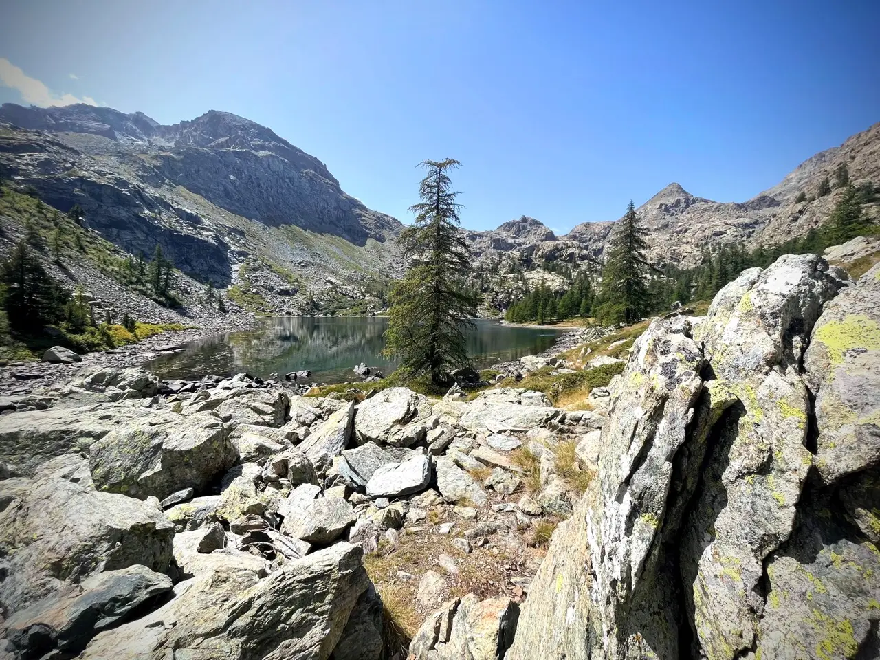
We cross the broad Colle Mezove (2614 m) and descend to the lovely Lago Margheron/Lago di Mezove (about 2380 m, 1:30 hours from the Gran Lago, and that makes 9 lakes), with its bluish waters and meadow-lined shores, ideal for a lunch break.
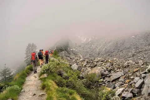
Less ideal after lunch is the steep climb that follows to the Col d'Eyelé (2803 m, 1:15 hours), on faint paths and cairns, and then, traversing, to the Col Fussi (2912 m, 45 minutes). We are in a Martian landscape, strangely lofty, softened only by the tenth and last lake of this tour, Lago Gelato, with the view stretching far away to the horizon. And further still if we put in a little more effort to reach (on faint paths and scree) the summit of Monte Glacier (3152 m, about 1:30 up and down from the Col Fussi).
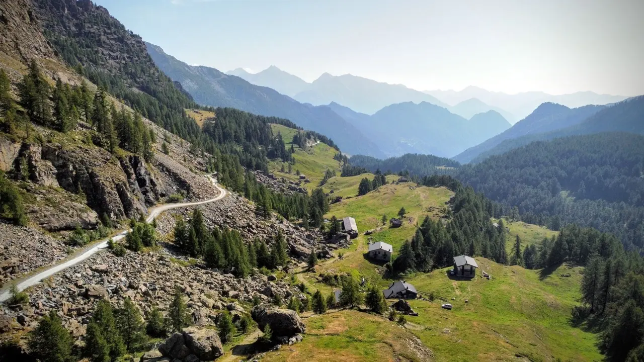
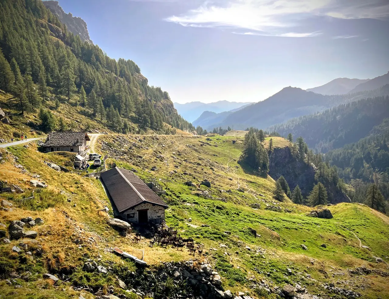
From the Col Fussi a long descent awaits us, first to Rifugio Dondena (2185 m, 2 hours), where we can make one last stop, or else skip it and save a few minutes' walking. Finally, from Rifugio Dondena we descend through meadows following the waymarks of the Alta Via 2 of the Aosta Valley, which run parallel to the Dondenaz dirt road and spare us, for a while, from eating the dust of the cars going by. We pass a series of bucolic alpine pastures, framed by the cliffs of Bec Raty and Bec Barmasse, before rejoining the dirt road to return to the car (1760 m, 1.45 hours).