Lakes, glaciers and waterfalls in the Valle del Rutor
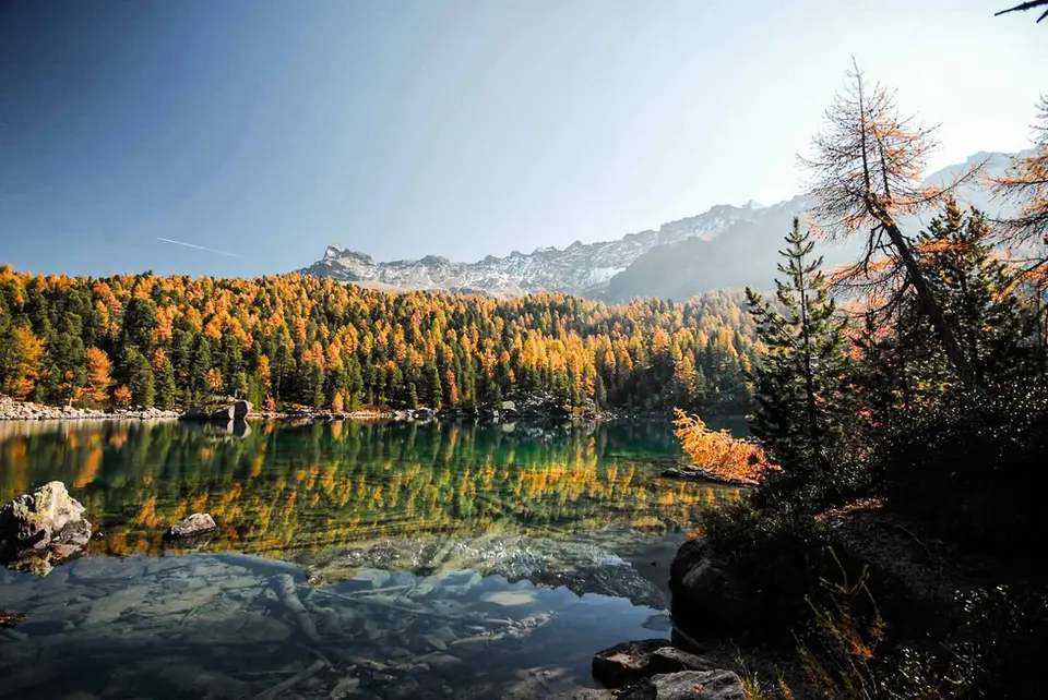
The Aosta Valley has some of the clearest alpine lakes in the western Alps, and many of them are concentrated in two areas: the Monte Avic Natural Park, with its larch woods that look almost North American, and the Valle del Rutor, where the lakes lie at the foot of the glacier.
They range from the easy climb to the Rifugio Barbustel, in under three hours, to the long loop of the ten lakes of Monte Avic, which is best split over two days.
Serpentine rock and glacier lakes
The Mont Avic Natural Park, established in October 1989, was the first regional natural park in the Aosta Valley. Its character comes from the rock: much of the park lies on serpentinite, which produces poor soils unsuited to larch and Norway spruce, and here the mountain pine thrives instead, in a forest of about a thousand hectares that the park describes as an unusual extent for the Italian Alps. The dark, greenish rocks you see along the ten-lakes loop are that serpentinite, and they explain why the forest here looks so different from the neighbouring valleys.
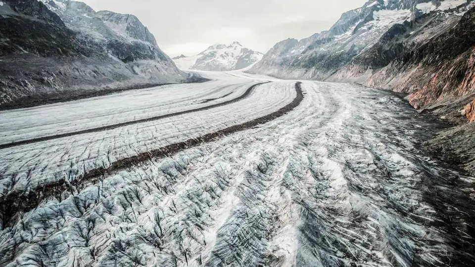
The Rutor valley tells a story of water and fear. At its greatest extent the Rutor glacier dammed a lake that could empty suddenly, and the floods that followed struck the La Thuile valley for nearly three centuries; above Lago di San Grato, a chapel dedicated to Saint Gratus and Saint Margaret was built precisely to ward off the floods. Remember, finally, that in the Aosta Valley bivouacking in a tent is allowed only above 2,500 metres, from sunset to sunrise, and that the park has its own rules, which are worth checking before you set off.
The hikes
By our rating, highest first. Browse them as photographs, as a list with all the numbers or on the map.
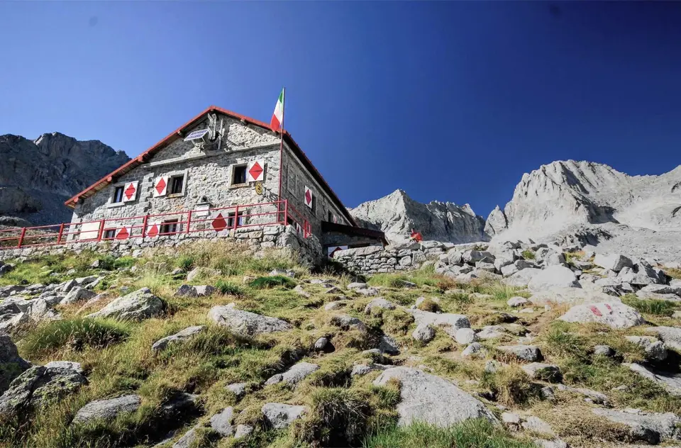
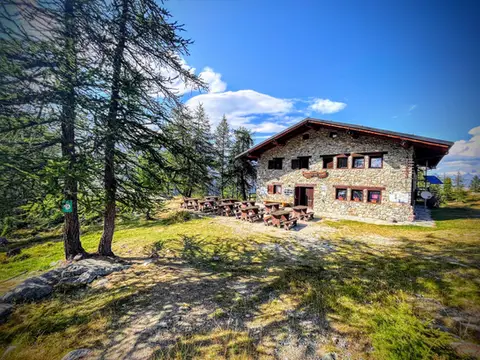 Aosta ValleyTo Rifugio Barbustel, in the heart of the Monte Avic Natural ParkCrystal-clear lakes and larch woods with a North American feel, in under 3 hours of walking.
- Grade
- T
- Time
- 4:30h
- Distance
- 9.6km
- Ascent
- 700m
- Rating
- 8/10
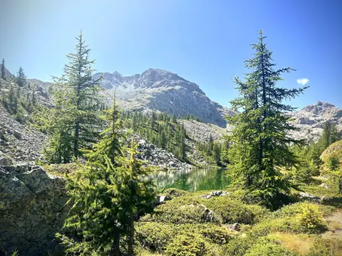 Aosta ValleyThe Monte Avic 10-lake loop (2 days)10 lakes, 3 mountain huts and a 3000-metre peak. A long 27km loop in the Monte Avic Natural Park, almost entirely in stern alpine terrain between 2000 and 3000 metres.
- Grade
- E+
- Time
- 12:00h
- Distance
- 27km
- Ascent
- 1,710m
- Rating
- 8/10
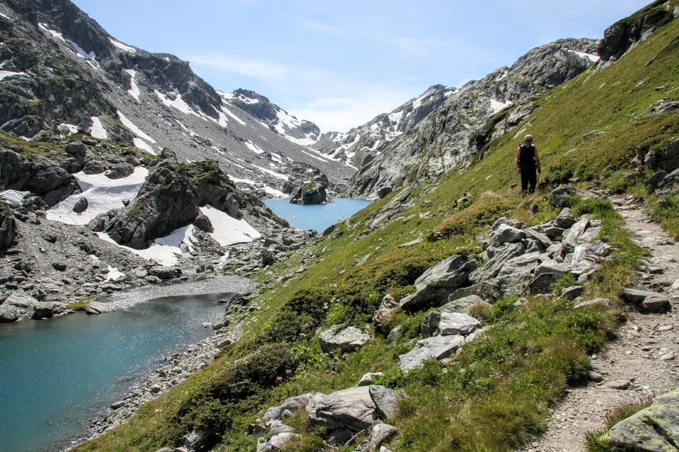
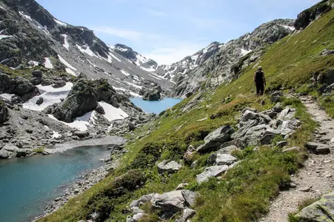 Aosta ValleyLakes, glaciers and waterfalls in the Valle del RutorA hike to Rifugio Deffeyes past the Rutor Falls, face to face with the Rutor Glacier.
- Grade
- E
- Time
- 7:30h
- Distance
- 20km
- Ascent
- 1,070m
- Rating
- 8/10
Questions
The answers come from the hike pages listed here.
Which one is the best, in your view?
To Rifugio Barbustel, in the heart of the Monte Avic Natural Park, The Monte Avic 10-lake loop (2 days), Lakes, glaciers and waterfalls in the Valle del Rutor, all rated 8 out of 10.
Which one is the easiest?
To Rifugio Barbustel, in the heart of the Monte Avic Natural Park: grade T, 4:30 hours of walking and 700 metres of ascent.
How long do these hikes take?
From 4:30 to 12:00 hours of walking, with ascents between 700 and 1,710 metres.
More guides
Other lists that share some of these hikes.