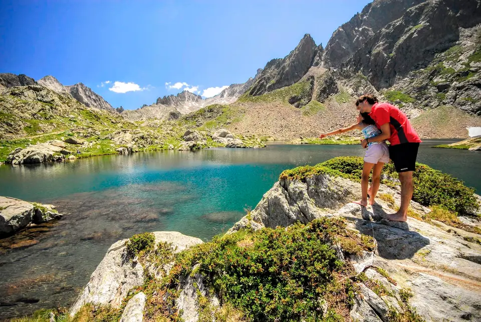
A break on the shore of Lago del Claus, the destination of a long loop hike in the upper Valle Gesso.
The Alpine territory of Piedmont stands out for its variety of landscapes and its rich flora and fauna, making the region an ideal place to get to know the Italian Alps more deeply and to try routes of many kinds.
Hikes in the Piedmontese Alps vary widely in difficulty and length, so hikers of every level can find an experience suited to their abilities. Routes such as the Tour of Monte Rosa or the Sentiero Italia cross imposing peaks, glaciers and remote valleys, offering technical and physical challenges to experienced hikers, while more accessible and shorter routes let you enjoy striking views without excessive difficulty.
Piedmont is also a region that bears witness to centuries of coexistence between people and mountains. The alpine villages, castles, churches and fortifications along the trails offer a glimpse of local history and culture, and invite hikers to reflect on how the natural environment and human activity have interacted over time.
One of the interesting aspects of hiking in Piedmont is the chance to observe climate change and its consequences for the Alpine landscape. The evolution of the glaciers, the adaptation of vegetation to new climatic conditions and the strategies for managing water resources are highly relevant topics for understanding the environmental changes under way and for finding sustainable solutions.
Good to know about Piedmont
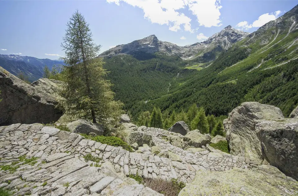
Organised hiking in Italy was born in Piedmont: the Club Alpino Italiano was founded in Turin, at the Castello del Valentino, on 23 October 1863, a few weeks after the ascent of Monviso during which Quintino Sella had proposed the idea. Even then the Piedmontese mountains were also hunting grounds of the House of Savoy, and in Valle Gesso Victor Emmanuel II obtained exclusive hunting rights from the municipalities of Valdieri and Entracque in 1857. The turreted royal hunting lodge of the Valasco, built in those years, is now Rifugio Valasco, and the former military roads you follow up towards Valscura show clearly how those valleys passed from royal hunting to the defence of the border.
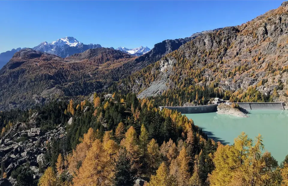
The lakes and glaciers on this page have eventful histories too. Lago di Antrona was born on 27 July 1642, when a huge landslide broke away from Monte Pozzuoli, dammed the stream and buried part of the village, and since 1926 it has been used as a hydroelectric reservoir. At the foot of Monte Rosa, the Belvedere Glacier underwent a sudden surge in 2001, and in 2002 the so-called Lago Effimero formed on its surface, large enough for a state of emergency to be declared and a pumping system to be installed. Macugnaga, where the hike begins, is one of the main Walser settlements in Piedmont.
The hikes
By our rating, highest first. Browse them as photographs, as a list with all the numbers or on the map.
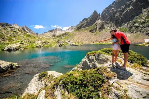 PiedmontRifugio Valasco, Rifugio Questa and the military mule tracks of ValscuraIn the upper Valle Gesso: remarkable military roads, the crystal-clear lakes of Valscura and Claus, and two historic mountain huts.
- Grade
- E
- Time
- 7:00h
- Distance
- 20km
- Ascent
- 1,020m
- Rating
- 9/10
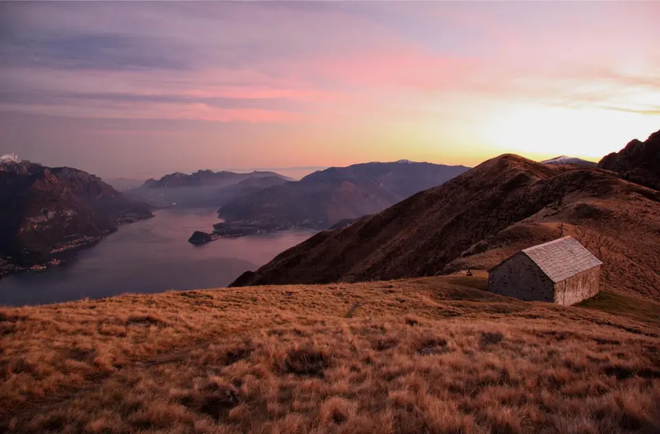
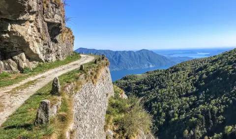 PiedmontCima di Morissolo and the Linea Cadorna fortificationsA summit dropping sheer to Lake Maggiore, just 30 minutes' walk away, with a maze of Linea Cadorna tunnels.
- Grade
- T
- Time
- 1:30h
- Distance
- 3.5km
- Ascent
- 170m
- Rating
- 8/10
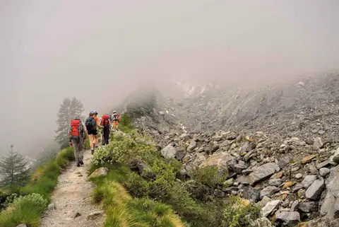 PiedmontRifugio Zamboni Zappa on the Belvedere GlacierAt the foot of the 4000-metre peaks of Monte Rosa, the hike to Rifugio Zamboni Zappa is a tour in glaciology.
- Grade
- E
- Time
- 5:30h
- Distance
- 13km
- Ascent
- 870m
- Rating
- 8/10
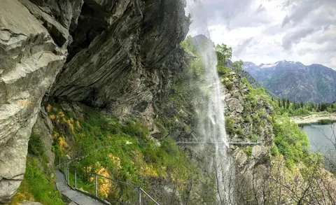 PiedmontThe Valle Antrona loop: Lago Antrona and Lago di CampliccioliA short hike around the lakes of Antrona and Campliccioli, in the lower Valle Antrona.
- Grade
- T
- Time
- 3:00h
- Distance
- 10km
- Ascent
- 400m
- Rating
- 7/10
Questions
The answers come from the hike pages listed here.
Which one is the best, in your view?
Rifugio Valasco, Rifugio Questa and the military mule tracks of Valscura, which we rated 9 out of 10.
Which one is the easiest?
Cima di Morissolo and the Linea Cadorna fortifications: grade T, 1:30 hours of walking and 170 metres of ascent.
How long do these hikes take?
From 1:30 to 7:00 hours of walking, with ascents between 170 and 1,020 metres.
More guides
Other lists that share some of these hikes.