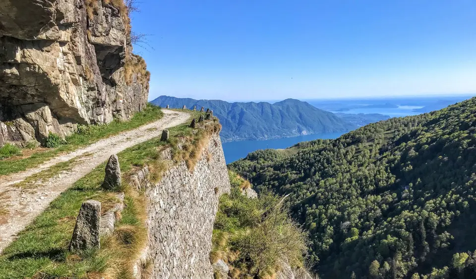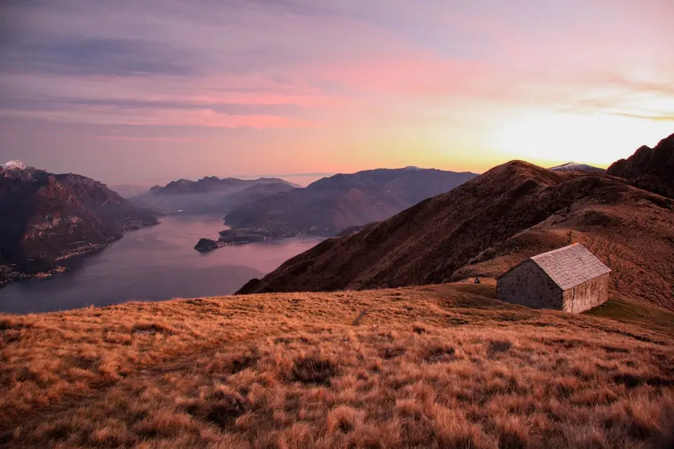
May is the transitional month par excellence: the Prealps are in full spring, with long days and flowering meadows, while above two thousand metres the paths are often still under snow and most high mountain huts have yet to open. That is why our list stays anchored to the lakes and the lower valleys, and it is not a fallback: these are hikes that turn hot and sticky in high summer and are at their best right now. The closer you get to June, the more you can push the altitude, always checking that year's snow.
At the top we put the grassy ridge between Monte Grona and Monte Bregagno, six hours face to face with Lake Como, and the Monte San Primo loop with the Rifugio Martina. The Boletto and Bolettone loop above Albavilla, fifteen kilometres of ridges between plain and lake, and Monte Moregallo above Valmadrera make full days for trained legs. Further north, Valchiavenna offers the Tracciolino, the Cardinello and the Acquafraggia waterfalls, while in Switzerland Lago di Cama becomes a more reliable destination in May than in April.
Good to know
Tradition has mountain huts opening around 20 June and closing around 20 September, but many hut keepers now start earlier: in Trentino, for instance, several huts open between late May and mid June, and some stay open almost all year. In May, then, the rule is to phone ahead, because the opening depends on snow on the access path as much as on the keeper's calendar.
It is also the time when herds begin to move up to the summer pastures, a seasonal movement as old as the paths we walk: transhumance was added to UNESCO's list of intangible cultural heritage in 2019, on a joint nomination by Italy, Austria and Greece. Meeting a herd on a narrow mule track is normal; the rule is to give it room, never to walk between mothers and calves, and to keep your dog on a lead.
The hikes
By our rating, highest first. Browse them as photographs, as a list with all the numbers or on the map.
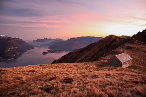 Lake ComoMonte Grona and Monte BregagnoAlong the grassy ridge between Monte Grona and Bregagno, face to face with Lake Como.
- Grade
- E
- Time
- 6:00h
- Distance
- 13km
- Ascent
- 1,120m
- Rating
- 8/10
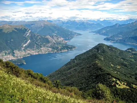 Lake ComoMonte San Primo and Rifugio Martina loopAlong the most panoramic ridge of the Triangolo Lariano, with lunch at the historic Rifugio Martina.
- Grade
- E
- Time
- 3:00h
- Distance
- 7km
- Ascent
- 550m
- Rating
- 8/10
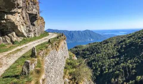 PiedmontCima di Morissolo and the Linea Cadorna fortificationsA summit dropping sheer to Lake Maggiore, just 30 minutes' walk away, with a maze of Linea Cadorna tunnels.
- Grade
- T
- Time
- 1:30h
- Distance
- 3.5km
- Ascent
- 170m
- Rating
- 8/10
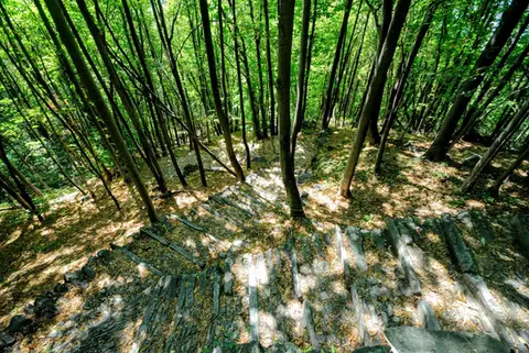 ValchiavennaAcquafraggia Falls, Savogno and DasileA loop around the Acquafraggia Falls: ladders, pools, Lilliputian villages and old mule tracks.
- Grade
- T
- Time
- 3:00h
- Distance
- 5.5km
- Ascent
- 620m
- Rating
- 8/10
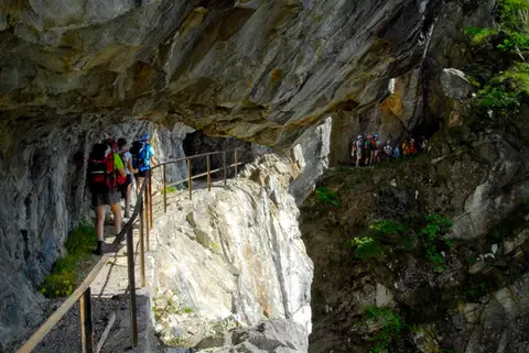 ValchiavennaThe Sentiero del TracciolinoThe Sentiero del Tracciolino: 10km of galleries and tunnels between San Giorgio (Val Codera) and the Val dei Ratti.
- Grade
- E
- Time
- 6:00h
- Distance
- 15km
- Ascent
- 1,000m
- Rating
- 8/10
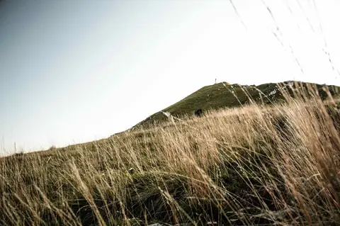 Lake ComoTo Monte Cornizzolo by way of San Pietro al MonteOne of the most panoramic summits of the Triangolo Lariano, by way of a Romanesque abbey.
- Grade
- E
- Time
- 5:00h
- Distance
- 11km
- Ascent
- 1,110m
- Rating
- 7/10
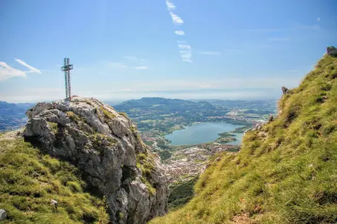 Lake ComoTo Monte Moregallo by way of Sant'IsidoroA hike to Monte Moregallo, an enjoyable hill close to Lecco and the Corni di Canzo.
- Grade
- E
- Time
- 4:30h
- Distance
- 8.5km
- Ascent
- 920m
- Rating
- 7/10
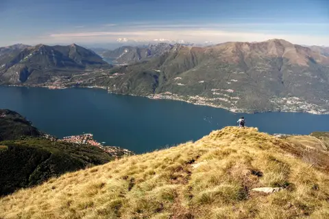 Lake ComoAlpe Giumello and Monte Croce di MuggioA short, easy hike to a panoramic summit high above Lake Como
- Grade
- T
- Time
- 1:30h
- Distance
- 3.5km
- Ascent
- 220m
- Rating
- 7/10
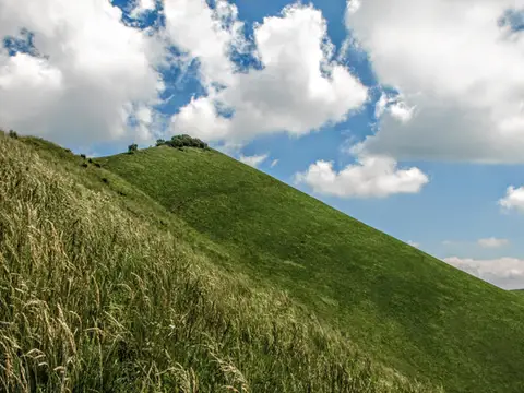 Lake ComoThe Boletto and Bolettone loopA loop along the grassy ridges of Monte Boletto and Monte Bolettone, squeezed between the plain and Lake Como
- Grade
- T
- Time
- 5:00h
- Distance
- 15km
- Ascent
- 740m
- Rating
- 7/10
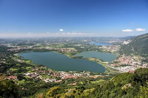 Lake ComoThe protected path on Monte BarroA slightly more entertaining alternative to the normal ascent of Monte Barro.
- Grade
- EE
- Time
- 2:00h
- Distance
- 3.5km
- Ascent
- 310m
- Rating
- 7/10
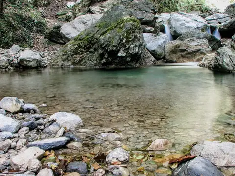 Lake ComoVia del Fiume in Val d'EraA protected path among little waterfalls and pools, in a deep, narrow valley at the foot of the Grigne.
- Grade
- EE
- Time
- 5:00h
- Distance
- 12km
- Ascent
- 710m
- Rating
- 7/10
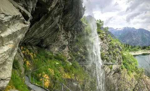 PiedmontThe Valle Antrona loop: Lago Antrona and Lago di CampliccioliA short hike around the lakes of Antrona and Campliccioli, in the lower Valle Antrona.
- Grade
- T
- Time
- 3:00h
- Distance
- 10km
- Ascent
- 400m
- Rating
- 7/10
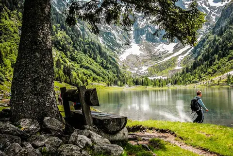 SwitzerlandLago di Cama in the Val di CamaA small Alpine lake set in an amphitheatre of peaks.
- Grade
- T
- Time
- 6:00h
- Distance
- 13km
- Ascent
- 940m
- Rating
- 7/10
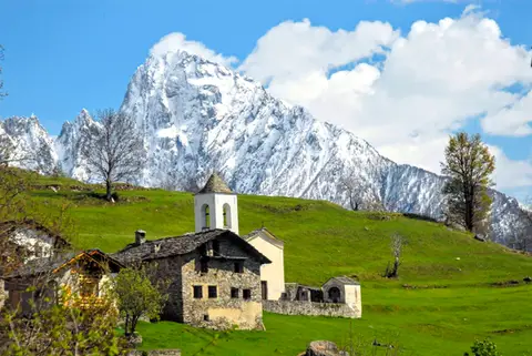 ValchiavennaDaloo and Lagunc, balconies over the ValchiavennaA mule track, a little white church and a unique view over the Piana di Chiavenna.
- Grade
- T
- Time
- 3:00h
- Distance
- 6km
- Ascent
- 650m
- Rating
- 7/10
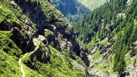 ValchiavennaThe Sentiero del Cardinello (or Via Mala)Carved into the rock of a narrow gorge, the Sentiero del Cardinello is one of the oldest and most spectacular stretches of the Via Spluga.
- Grade
- E
- Time
- 4:30h
- Distance
- 12km
- Ascent
- 660m
- Rating
- 7/10
Questions
The answers come from the hike pages listed here.
Which one is the best, in your view?
Monte Grona and Monte Bregagno, Monte San Primo and Rifugio Martina loop, Cima di Morissolo and the Linea Cadorna fortifications and others, all rated 8 out of 10.
Which one is the easiest?
Cima di Morissolo and the Linea Cadorna fortifications: grade T, 1:30 hours of walking and 170 metres of ascent.
How long do these hikes take?
From 1:30 to 6:00 hours of walking, with ascents between 170 and 1,120 metres.
More guides
Other lists that share some of these hikes.