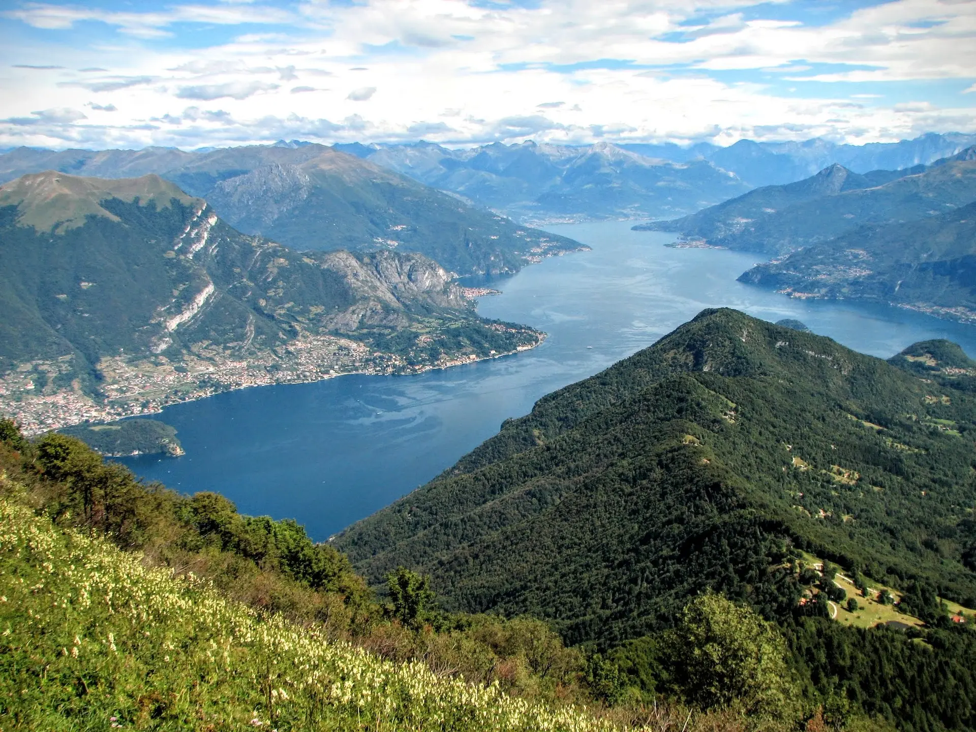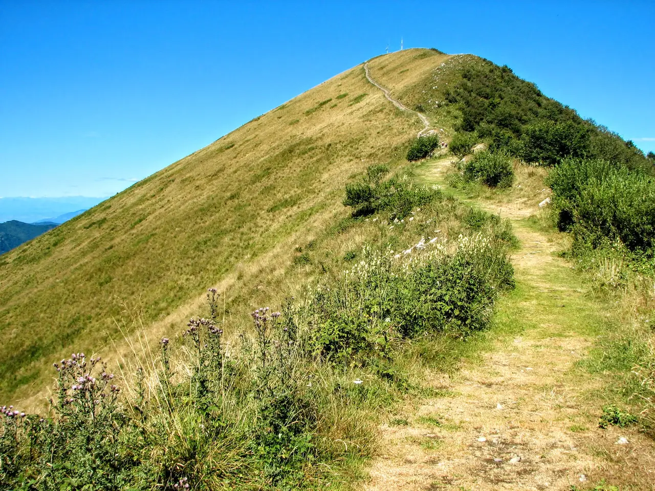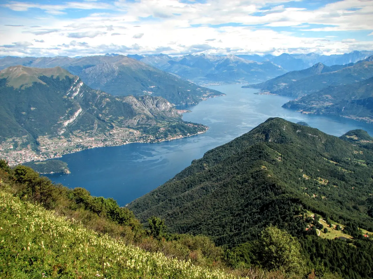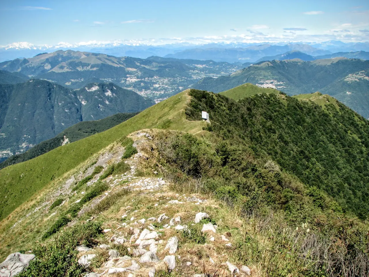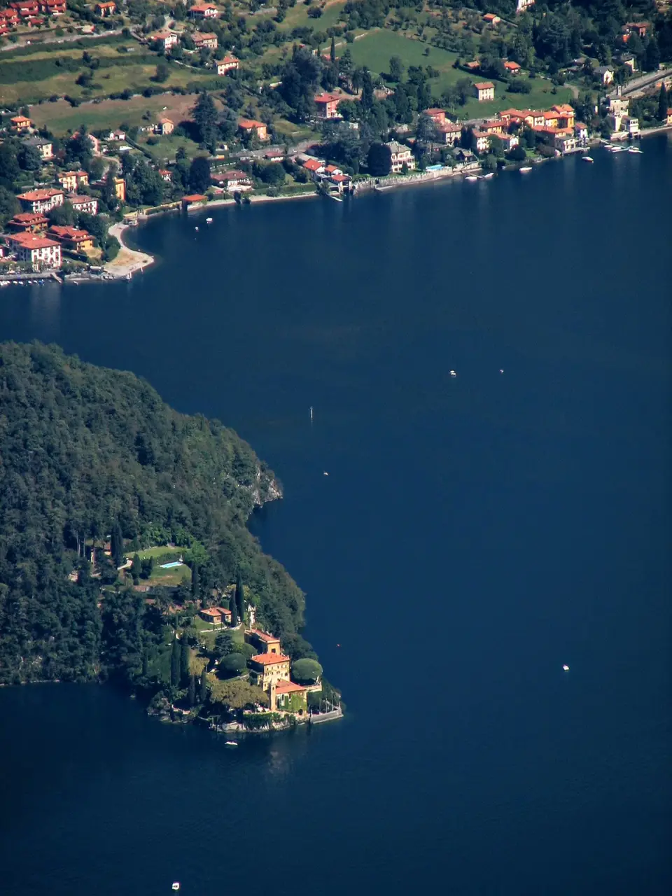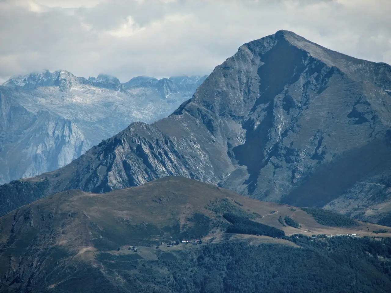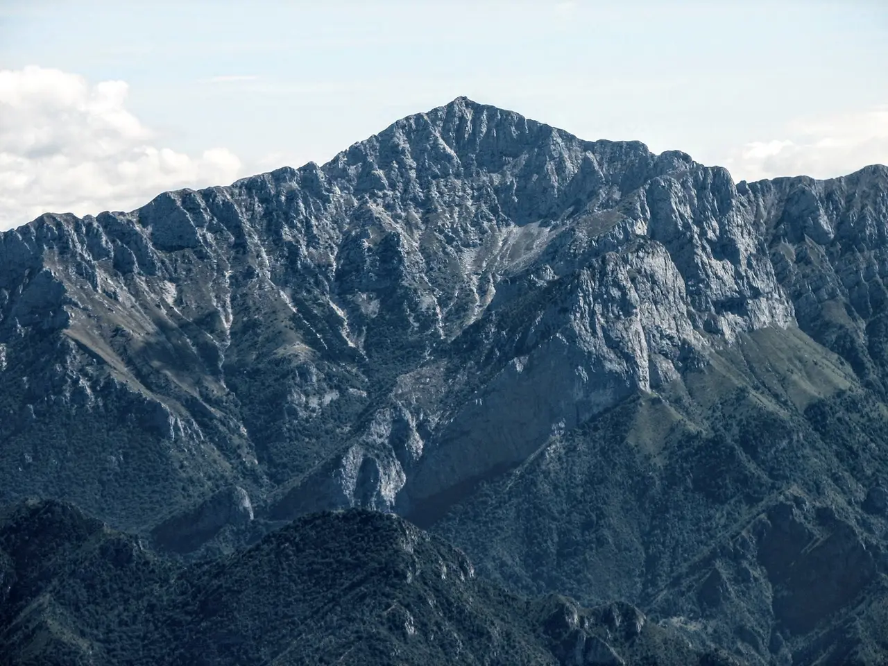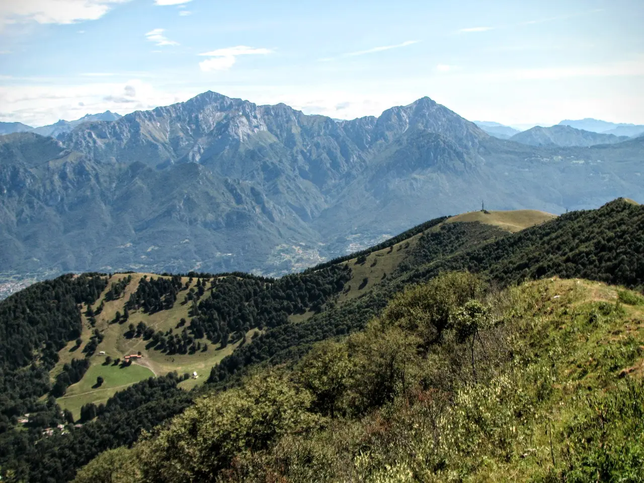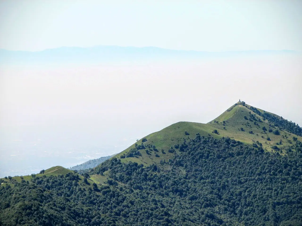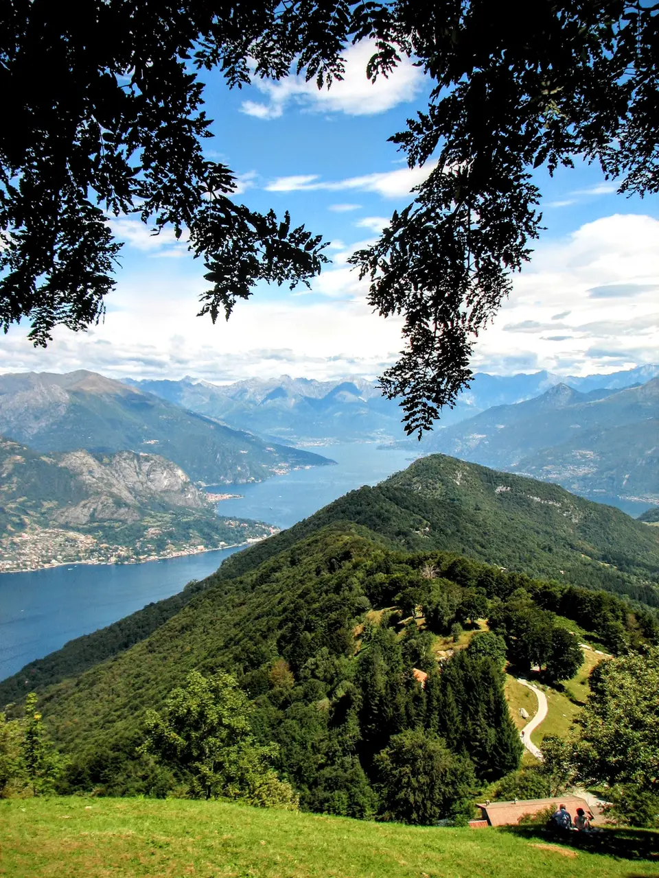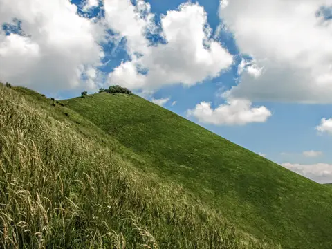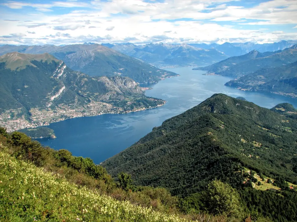
Monte San Primo is the highest summit of the Triangolo Lariano. And not only that: it also stands out for its peculiar “tent” shape, which stretches for kilometres from the Lecco branch to the Como branch of Lake Como. This hike takes us along more than half of this long balcony, then down the steep north side to Rifugio Martina, a historic mountain hut with unforgettable cooking.
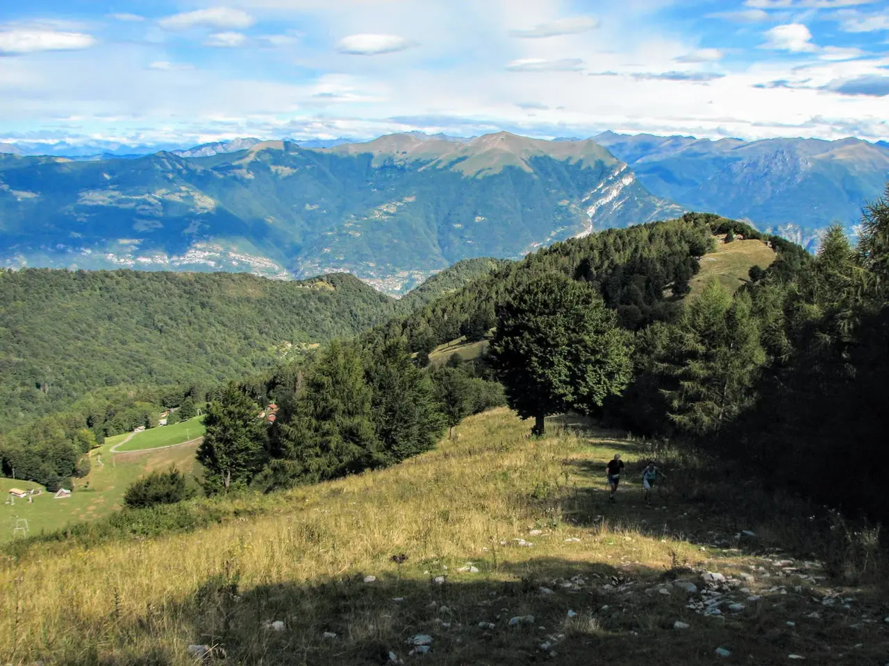
Having parked the car at Piano Rancio (m1121, which we reach by the road starting from the Madonna del Ghisallo), we begin to climb on foot up the green meadows of Monte Ponciv, which host a small ski area in winter. Soon, with the views of Lake Como and the peaks around it already becoming interesting, we gain a broad ridge that leads us to a grassy saddle near Monte Ponciv (m1453, 45 minutes). Here the view opens up towards the plain and the other low peaks of the Triangolo Lariano as well.
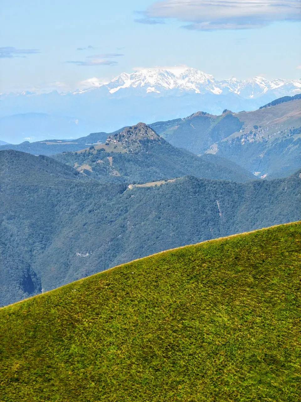
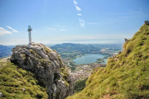
All that remains is to follow the broad path which, mostly on the level, brings us to the foot of Monte San Primo, which we gain with a short traverse. The panorama from the summit of Monte San Primo (m1686, 45 minutes) is perhaps the best in the whole Triangolo Lariano: Lake Como opens out before us, and behind us lies the Po Valley, only partly hidden by the other peaks of the Triangolo Lariano.
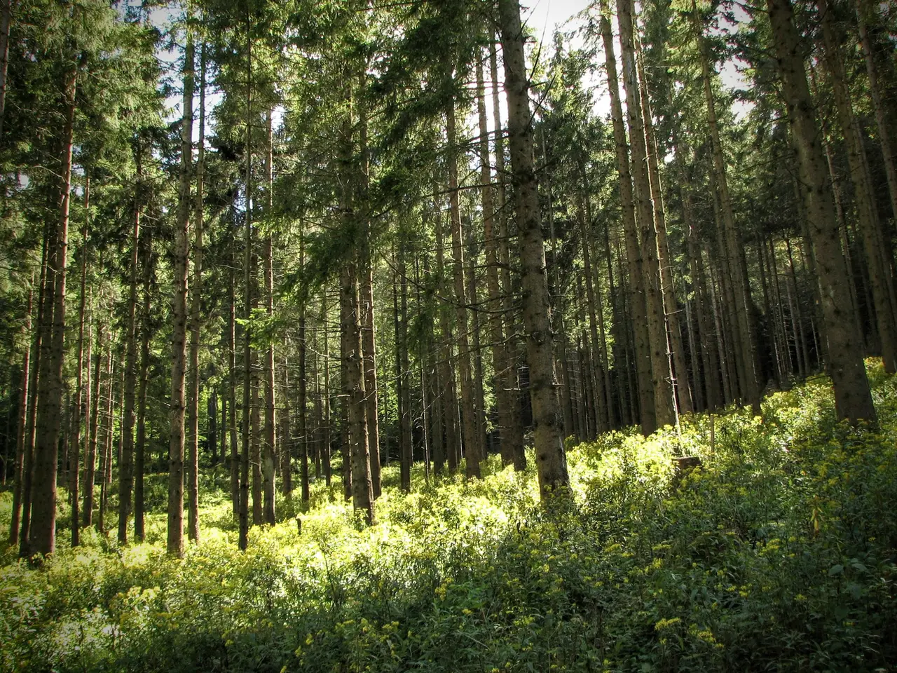
For the descent we suggest the small path on the north side of the San Primo, little used because it is very steep and slippery. We drop a few metres to the west, then plunge into the woods and begin tumbling down towards the valley on an extremely steep path. When the track finally lets us catch our breath, it means we have almost reached the sunny Alpe dei Picett (m1231, 40 minutes).
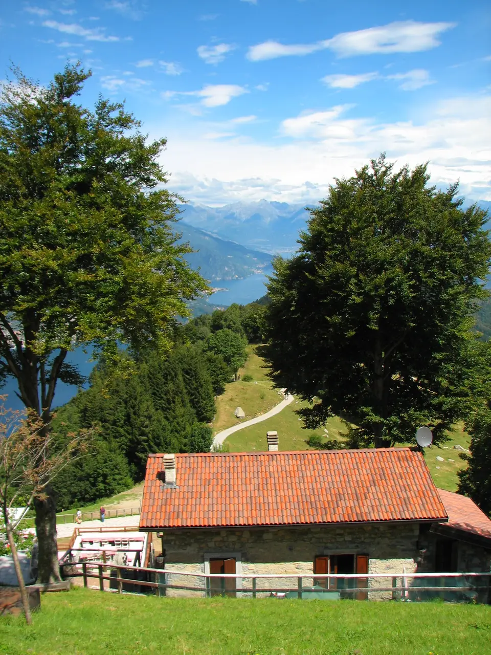
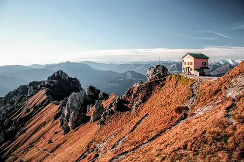
Here stands the now celebrated Rifugio Martina, once a simple mountain hut and today a large restaurant with two covered terraces, but still serving exactly the same dishes it served 20 years ago: polenta uncia (the speciality of Rifugio Martina), pork shank, stew and cheeses. In summer the hut is also open for dinner at weekends, so it works well for a dinner after an afternoon hike up Monte San Primo.
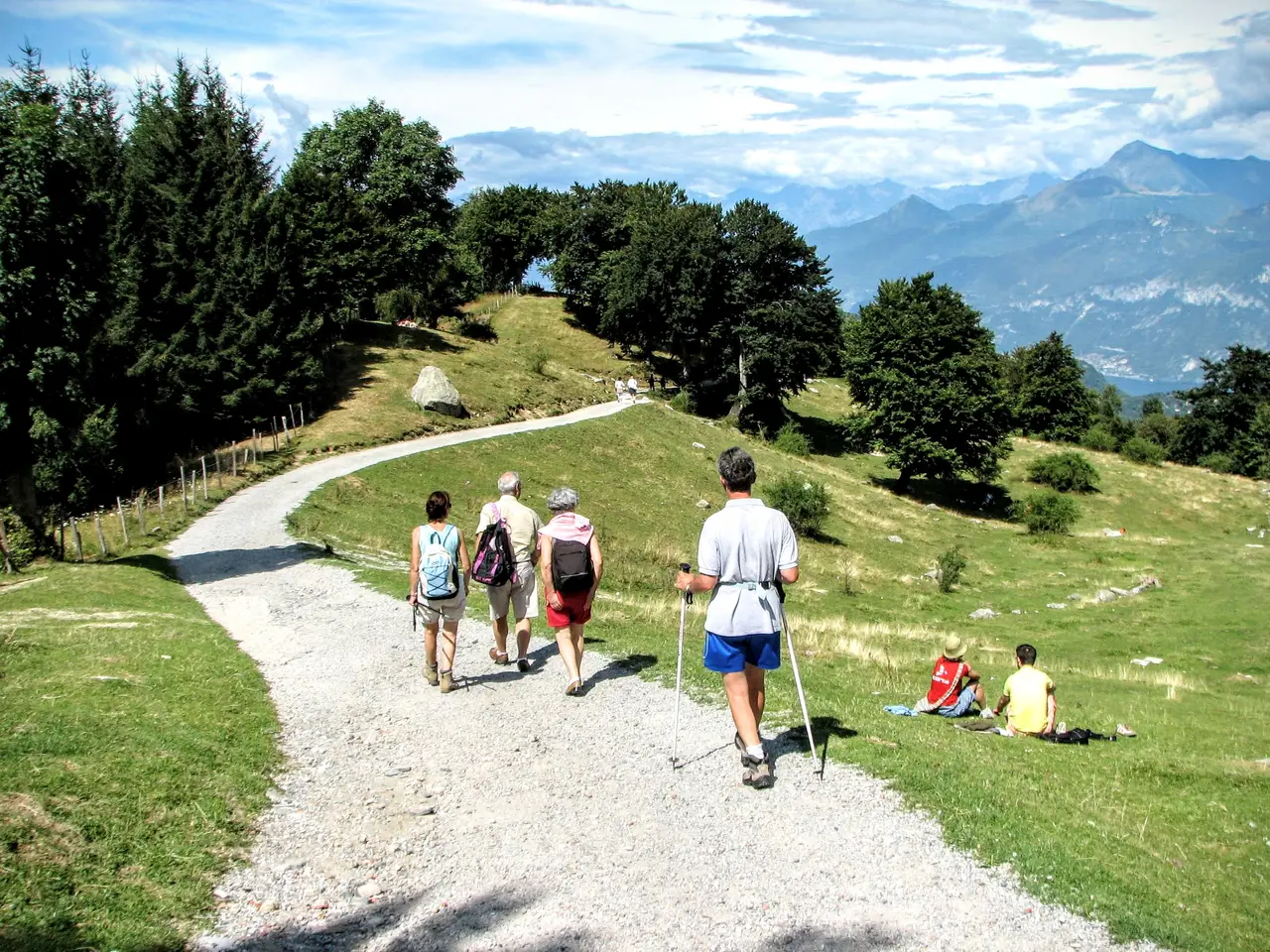
From Rifugio Martina we return to Piano Rancio along the dirt road that winds through the meadows below the hut, then enters the woods heading east and, on the level, past the car park used by the Martina's customers and then a former holiday camp, brings us back to Piano Rancio (m1121, 30 minutes).