A loop has one advantage that you appreciate most at the end of the day: you arrive back at the car, or at the bus stop, without repeating a single metre of the ascent and without arranging a second vehicle at the finish. The price, when there is one, is a little more planning, because the way up and the way down are different paths and it is worth knowing in advance which of the two is steeper, more exposed or more tiring. In exchange you see the mountain from two sides, and quite often the descent offers exactly the view we had behind us on the way up.
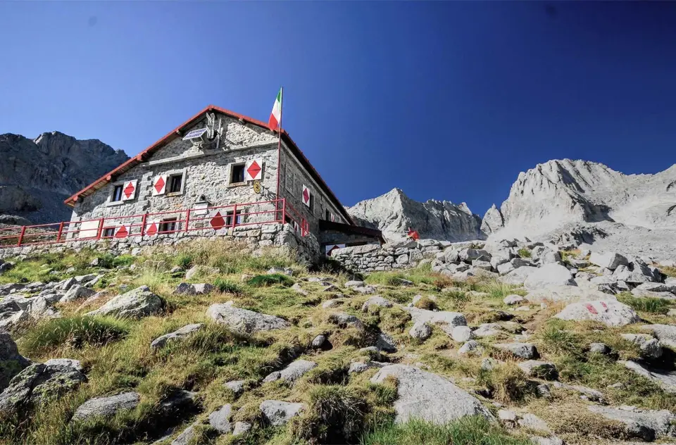
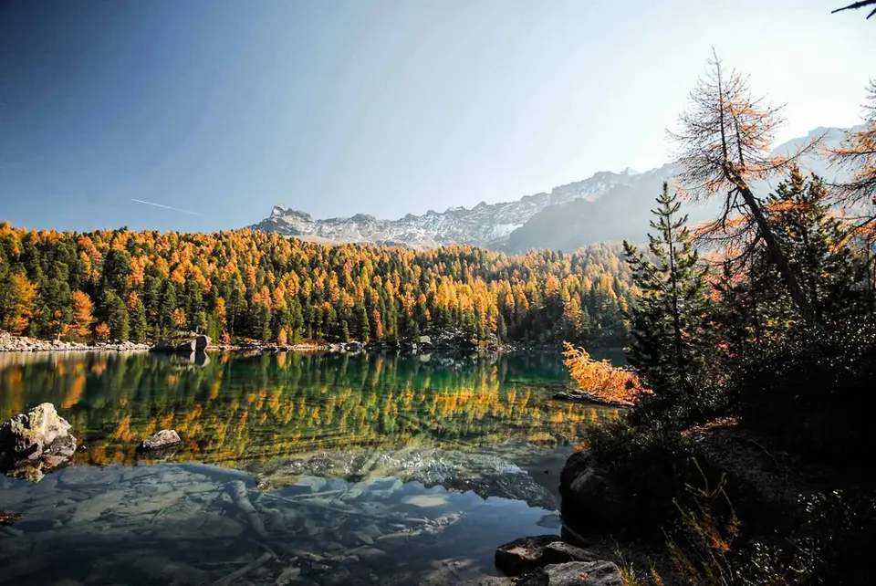
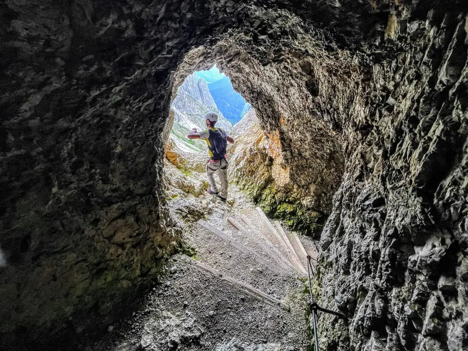
On this page we have gathered our loops, which come in almost every size: from the short circuit of Lago Antrona and Lago di Campliccioli, three hours on an easy path, to the Monte San Primo loop with a stop at Rifugio Martina, and on to the 27 kilometres of the ten lakes of Monte Avic, which take two days. In between are the Lagazuoi, climbed through wartime tunnels and galleries, Rifugio Puez above the gorge of the Val Longia, Lago Bianco on the Pian dei Cavalli in the Valle Spluga, Rifugio Benigni with the Trona and Zancone lakes, the grassy ridges of Boletto and Bolettone and, in Bavaria, the Herzogstand and Heimgarten above the Walchensee.
Good to know
One of these loops has a royal history, in the literal sense. The Herzogstand was the favourite mountain of King Ludwig II of Bavaria: in 1857 the Wittelsbachs built a hunting lodge there, and in 1865 Ludwig had his own house built, the so-called Königshaus, where he stayed for a few days each year, usually in June or July, reaching it on a bridle path he had laid out from the Kesselberg. The Königshaus burned down in 1990 and the Berggasthaus Herzogstand now stands in its place, but the king's old bridle path can still be walked.
Otherwise, a loop is planned like any other hike, with one extra thought for the direction of travel. When we have the choice, we prefer to climb the steeper side and descend the gentler one, because knees work harder on the way down and a misplaced foot costs more there. Reversing a loop is almost always possible, but it is a decision best made before setting off, after reading the description properly, rather than halfway round.
The hikes
By our rating, highest first. Browse them as photographs, as a list with all the numbers or on the map.
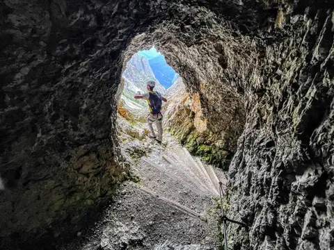 DolomitesLagazuoi loop hike300m of ascent through military galleries and tunnels to the panoramic terrace of the Lagazuoi. Optional: the Ferrata degli Alpini on the Col dei Bos (C/D)
- Grade
- E
- Time
- 5:00h
- Distance
- 10km
- Ascent
- 700m
- Rating
- 8/10
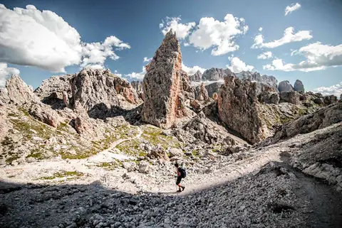 DolomitesRifugio Puez and the Val Longia loopA loop hike along a balcony overlooking the gorge of the Val Longia.
- Grade
- E
- Time
- 6:30h
- Distance
- 16km
- Ascent
- 1,030m
- Rating
- 8/10
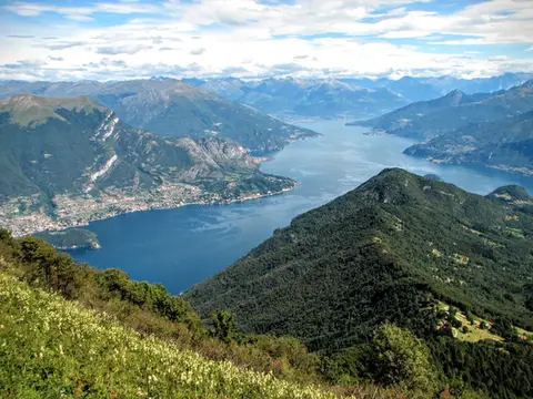 Lake ComoMonte San Primo and Rifugio Martina loopAlong the most panoramic ridge of the Triangolo Lariano, with lunch at the historic Rifugio Martina.
- Grade
- E
- Time
- 3:00h
- Distance
- 7km
- Ascent
- 550m
- Rating
- 8/10
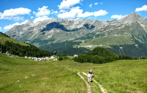 ValchiavennaThe Lago Bianco loop on the Pian dei CavalliOn the balcony of the Valle Spluga: from Starleggia to the Pian dei Cavalli, the Lago Bianco and Monte Bardan.
- Grade
- E
- Time
- 4:00h
- Distance
- 10km
- Ascent
- 830m
- Rating
- 8/10
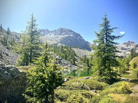 Aosta ValleyThe Monte Avic 10-lake loop (2 days)10 lakes, 3 mountain huts and a 3000-metre peak. A long 27km loop in the Monte Avic Natural Park, almost entirely in stern alpine terrain between 2000 and 3000 metres.
- Grade
- E+
- Time
- 12:00h
- Distance
- 27km
- Ascent
- 1,710m
- Rating
- 8/10
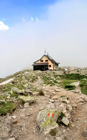 ValtellinaLoop of Rifugio Benigni and the Trona and Zancone lakesA long route in the upper Val Gerola, taking in a mountain hut, 4 lakes and a few ibex.
- Grade
- E
- Time
- 6:00h
- Distance
- 15km
- Ascent
- 970m
- Rating
- 8/10
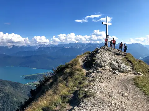 GermanyHerzogstand and Heimgarten loopTwo mountain lookouts above the German plain and the Walchensee.
- Grade
- E
- Time
- 4:30h
- Distance
- 10km
- Ascent
- 360m
- Rating
- 7/10
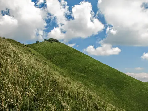 Lake ComoThe Boletto and Bolettone loopA loop along the grassy ridges of Monte Boletto and Monte Bolettone, squeezed between the plain and Lake Como
- Grade
- T
- Time
- 5:00h
- Distance
- 15km
- Ascent
- 740m
- Rating
- 7/10
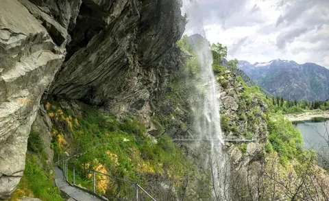 PiedmontThe Valle Antrona loop: Lago Antrona and Lago di CampliccioliA short hike around the lakes of Antrona and Campliccioli, in the lower Valle Antrona.
- Grade
- T
- Time
- 3:00h
- Distance
- 10km
- Ascent
- 400m
- Rating
- 7/10
Questions
The answers come from the hike pages listed here.
Which one is the best, in your view?
Lagazuoi loop hike, Rifugio Puez and the Val Longia loop, Monte San Primo and Rifugio Martina loop and others, all rated 8 out of 10.
Which one is the easiest?
The Valle Antrona loop: Lago Antrona and Lago di Campliccioli: grade T, 3:00 hours of walking and 400 metres of ascent.
How long do these hikes take?
From 3:00 to 12:00 hours of walking, with ascents between 360 and 1,710 metres.
More guides
Other lists that share some of these hikes.