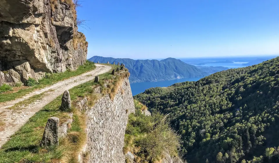
December takes us back to the Prealps and the valley floors: the days are the shortest of the year, the snow now covers the high ground and, depending on the year, the ridges above the lakes as well. The hikes on this page are the ones that, with the right weather, can be done even in midwinter, short or medium in length, starting close to villages and returning without forcing you to walk in the dark. As in January, the list includes spring routes that are dry in a dry December and better postponed in a snowy one: the criterion is the weather, not the date.
The protected path on Monte Barro above Lecco and the Cima di Morissolo above Lake Maggiore are our safest choices, both two hours of walking or less. In Valchiavenna, the loop of the Acquafraggia waterfalls with the villages of Savogno and Dasile and the balconies of Daloo and Lagunc above the Piana di Chiavenna make half days full of mule tracks and dry-stone walls, while the Valle Antrona loop remains an easy walk around two lakes. On Lake Como, Alpe Giumello and Monte Croce di Muggio are the choice for an afternoon, and the longer climbs, from Monte Cornizzolo to Monte San Primo, are best kept for days without snow.
Good to know
The winter solstice falls around 21 December, the shortest day of the year, and in the narrow valleys of the Alps the sun disappears behind the ridges well before astronomical sunset. That is why in December we choose south-facing slopes and open ridges, start early and plan the return with a generous margin, always carrying a head torch. The Splügen Pass road is closed for the winter and reopens in spring, so for upper Valle Spluga we wait for spring.
11 December is International Mountain Day, designated by the United Nations from 2003 and coordinated by FAO to draw attention to sustainable development in the uplands. We like to mark it because the hikes on this page cross exactly that middle mountain of mule tracks, summer pastures and hillside villages that lives all year round, not only in the tourist season.
The hikes
By our rating, highest first. Browse them as photographs, as a list with all the numbers or on the map.
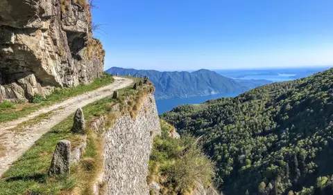 PiedmontCima di Morissolo and the Linea Cadorna fortificationsA summit dropping sheer to Lake Maggiore, just 30 minutes' walk away, with a maze of Linea Cadorna tunnels.
- Grade
- T
- Time
- 1:30h
- Distance
- 3.5km
- Ascent
- 170m
- Rating
- 8/10
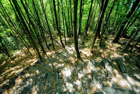 ValchiavennaAcquafraggia Falls, Savogno and DasileA loop around the Acquafraggia Falls: ladders, pools, Lilliputian villages and old mule tracks.
- Grade
- T
- Time
- 3:00h
- Distance
- 5.5km
- Ascent
- 620m
- Rating
- 8/10
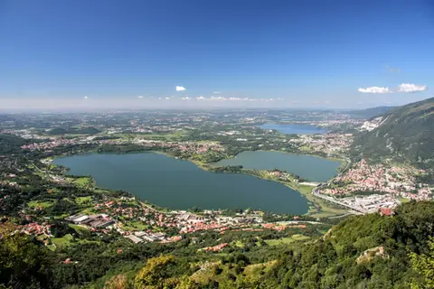 Lake ComoThe protected path on Monte BarroA slightly more entertaining alternative to the normal ascent of Monte Barro.
- Grade
- EE
- Time
- 2:00h
- Distance
- 3.5km
- Ascent
- 310m
- Rating
- 7/10
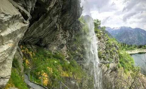 PiedmontThe Valle Antrona loop: Lago Antrona and Lago di CampliccioliA short hike around the lakes of Antrona and Campliccioli, in the lower Valle Antrona.
- Grade
- T
- Time
- 3:00h
- Distance
- 10km
- Ascent
- 400m
- Rating
- 7/10
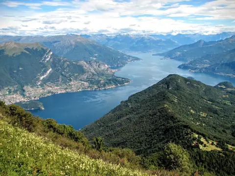 Lake ComoMonte San Primo and Rifugio Martina loopAlong the most panoramic ridge of the Triangolo Lariano, with lunch at the historic Rifugio Martina.
- Grade
- E
- Time
- 3:00h
- Distance
- 7km
- Ascent
- 550m
- Rating
- 8/10
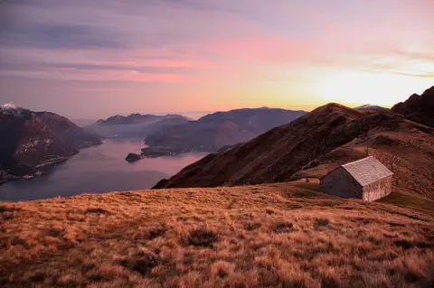 Lake ComoMonte Grona and Monte BregagnoAlong the grassy ridge between Monte Grona and Bregagno, face to face with Lake Como.
- Grade
- E
- Time
- 6:00h
- Distance
- 13km
- Ascent
- 1,120m
- Rating
- 8/10
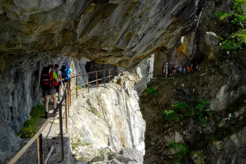 ValchiavennaThe Sentiero del TracciolinoThe Sentiero del Tracciolino: 10km of galleries and tunnels between San Giorgio (Val Codera) and the Val dei Ratti.
- Grade
- E
- Time
- 6:00h
- Distance
- 15km
- Ascent
- 1,000m
- Rating
- 8/10
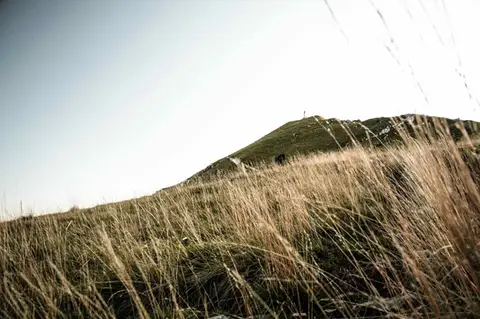 Lake ComoTo Monte Cornizzolo by way of San Pietro al MonteOne of the most panoramic summits of the Triangolo Lariano, by way of a Romanesque abbey.
- Grade
- E
- Time
- 5:00h
- Distance
- 11km
- Ascent
- 1,110m
- Rating
- 7/10
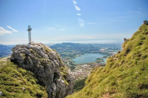 Lake ComoTo Monte Moregallo by way of Sant'IsidoroA hike to Monte Moregallo, an enjoyable hill close to Lecco and the Corni di Canzo.
- Grade
- E
- Time
- 4:30h
- Distance
- 8.5km
- Ascent
- 920m
- Rating
- 7/10
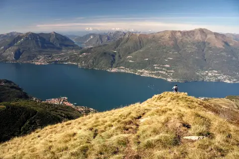 Lake ComoAlpe Giumello and Monte Croce di MuggioA short, easy hike to a panoramic summit high above Lake Como
- Grade
- T
- Time
- 1:30h
- Distance
- 3.5km
- Ascent
- 220m
- Rating
- 7/10
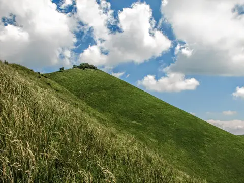 Lake ComoThe Boletto and Bolettone loopA loop along the grassy ridges of Monte Boletto and Monte Bolettone, squeezed between the plain and Lake Como
- Grade
- T
- Time
- 5:00h
- Distance
- 15km
- Ascent
- 740m
- Rating
- 7/10
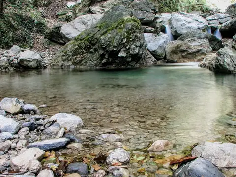 Lake ComoVia del Fiume in Val d'EraA protected path among little waterfalls and pools, in a deep, narrow valley at the foot of the Grigne.
- Grade
- EE
- Time
- 5:00h
- Distance
- 12km
- Ascent
- 710m
- Rating
- 7/10
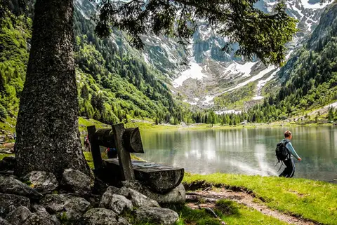 SwitzerlandLago di Cama in the Val di CamaA small Alpine lake set in an amphitheatre of peaks.
- Grade
- T
- Time
- 6:00h
- Distance
- 13km
- Ascent
- 940m
- Rating
- 7/10
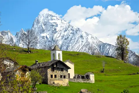 ValchiavennaDaloo and Lagunc, balconies over the ValchiavennaA mule track, a little white church and a unique view over the Piana di Chiavenna.
- Grade
- T
- Time
- 3:00h
- Distance
- 6km
- Ascent
- 650m
- Rating
- 7/10
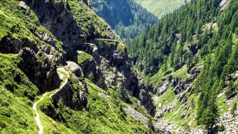 ValchiavennaThe Sentiero del Cardinello (or Via Mala)Carved into the rock of a narrow gorge, the Sentiero del Cardinello is one of the oldest and most spectacular stretches of the Via Spluga.
- Grade
- E
- Time
- 4:30h
- Distance
- 12km
- Ascent
- 660m
- Rating
- 7/10
Questions
The answers come from the hike pages listed here.
Which one is the best, in your view?
Cima di Morissolo and the Linea Cadorna fortifications, Acquafraggia Falls, Savogno and Dasile, Monte San Primo and Rifugio Martina loop and others, all rated 8 out of 10.
Which one is the easiest?
Cima di Morissolo and the Linea Cadorna fortifications: grade T, 1:30 hours of walking and 170 metres of ascent.
How long do these hikes take?
From 1:30 to 6:00 hours of walking, with ascents between 170 and 1,120 metres.
More guides
Other lists that share some of these hikes.