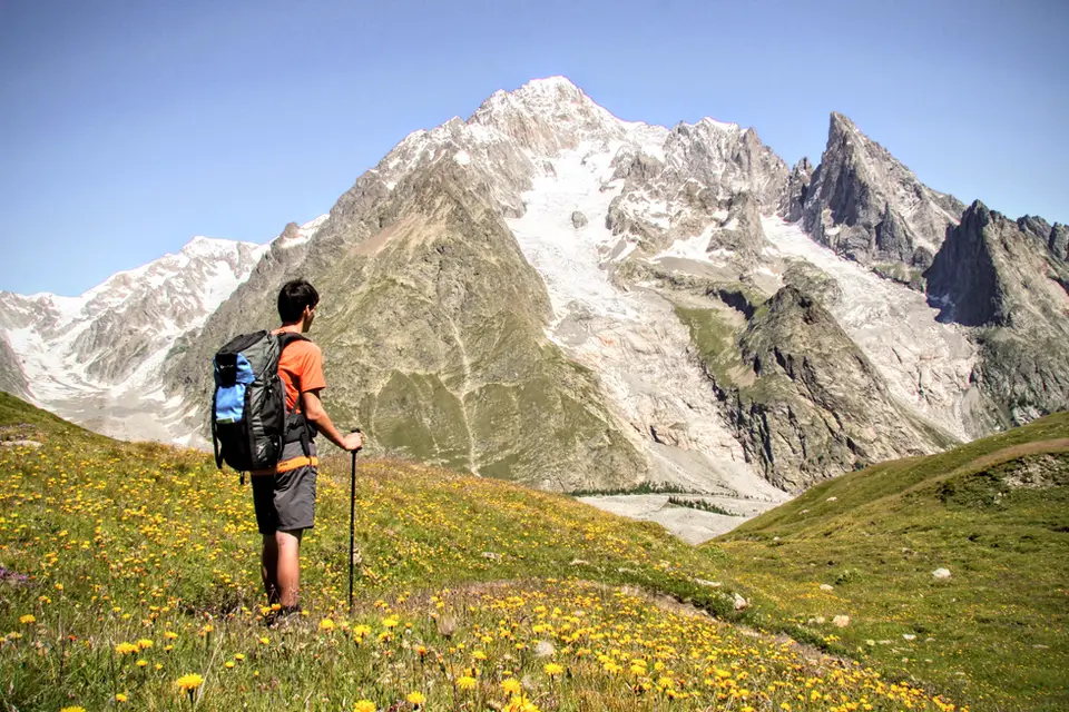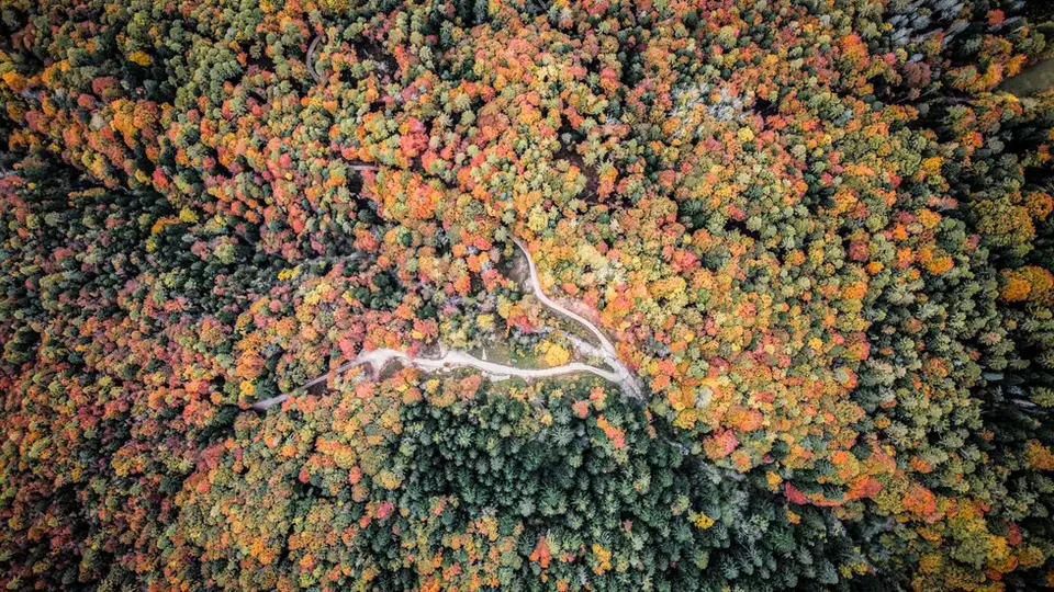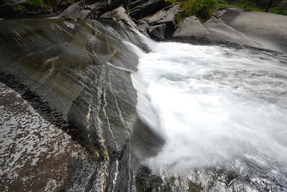
The Acquafraggia stream just above the waterfalls of the same name, a spring hike a stone's throw from Chiavenna.
Spring is a wonderful season for exploring the mountains, as nature wakes up after the long winter and the meadows fill with flowers. At this time of year we suggest shorter hikes at lower altitudes, ideal for enjoying the warmth of the sun and the beauty of a landscape that keeps changing.
The spring hikes suggested here generally face south, since that aspect makes snow on the route less likely. Even so, it is always important to check trail conditions before setting off, because some north-facing slopes can hold snow for longer. To check whether a route is passable, consult the webcams in the area and keep the weather in mind.
Late snow and protected flowers
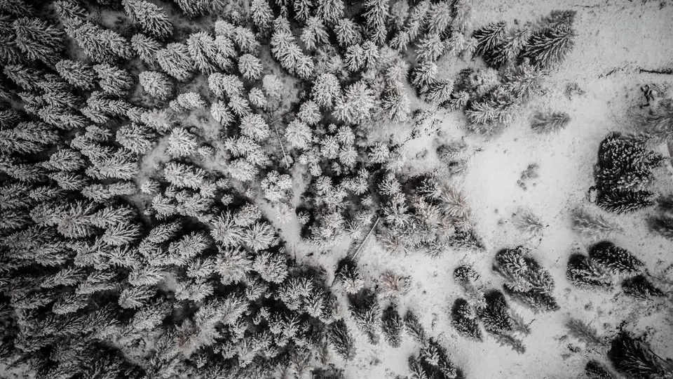
In spring the remaining snow changes within a single day. In the morning it is often hard and frozen, while from midday, with sunshine and rising temperatures, it soaks through and loses cohesion: April avalanche bulletins describe exactly this, a wet-snow avalanche danger that grows through the afternoon, above all on steep sunny slopes but partly also on shaded ones at lower elevations. For walkers the advice is the classic one for the season, start early and finish early, and turn back from gullies and slopes still loaded with snow even when the path lower down is perfectly clear.
The flowers are the season's reward, and they are protected. In Lombardy, regional law 10 of 2008 distinguishes between strictly protected species, which may not be picked at all, and species whose picking is regulated by quantity, and it sets fines of 500 to 4,000 euros for picking protected species; in parks the rules can be stricter still. Piedmont and Switzerland have their own regulations, but the spirit is the same, and the simplest rule is to photograph the flowers and leave them where they are, not least because a bunch picked at noon has wilted before you reach the car.
The hikes
By our rating, highest first. Browse them as photographs, as a list with all the numbers or on the map.
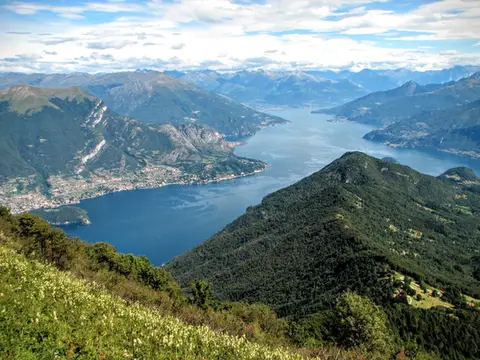 Lake ComoMonte San Primo and Rifugio Martina loopAlong the most panoramic ridge of the Triangolo Lariano, with lunch at the historic Rifugio Martina.
- Grade
- E
- Time
- 3:00h
- Distance
- 7km
- Ascent
- 550m
- Rating
- 8/10
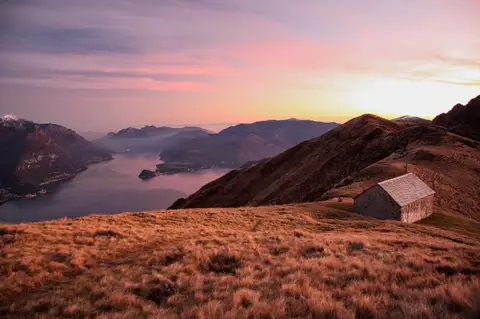 Lake ComoMonte Grona and Monte BregagnoAlong the grassy ridge between Monte Grona and Bregagno, face to face with Lake Como.
- Grade
- E
- Time
- 6:00h
- Distance
- 13km
- Ascent
- 1,120m
- Rating
- 8/10
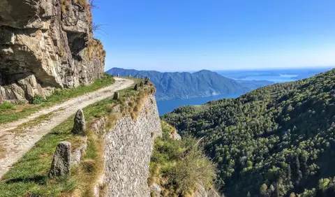 PiedmontCima di Morissolo and the Linea Cadorna fortificationsA summit dropping sheer to Lake Maggiore, just 30 minutes' walk away, with a maze of Linea Cadorna tunnels.
- Grade
- T
- Time
- 1:30h
- Distance
- 3.5km
- Ascent
- 170m
- Rating
- 8/10
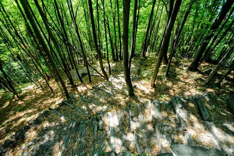 ValchiavennaAcquafraggia Falls, Savogno and DasileA loop around the Acquafraggia Falls: ladders, pools, Lilliputian villages and old mule tracks.
- Grade
- T
- Time
- 3:00h
- Distance
- 5.5km
- Ascent
- 620m
- Rating
- 8/10
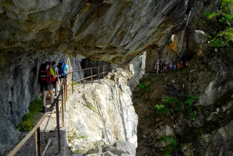 ValchiavennaThe Sentiero del TracciolinoThe Sentiero del Tracciolino: 10km of galleries and tunnels between San Giorgio (Val Codera) and the Val dei Ratti.
- Grade
- E
- Time
- 6:00h
- Distance
- 15km
- Ascent
- 1,000m
- Rating
- 8/10
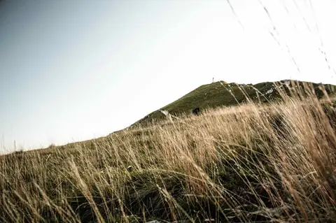 Lake ComoTo Monte Cornizzolo by way of San Pietro al MonteOne of the most panoramic summits of the Triangolo Lariano, by way of a Romanesque abbey.
- Grade
- E
- Time
- 5:00h
- Distance
- 11km
- Ascent
- 1,110m
- Rating
- 7/10
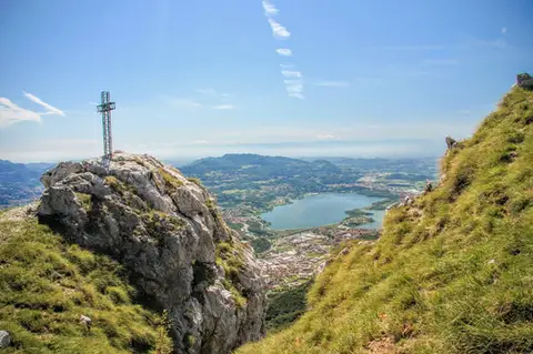 Lake ComoTo Monte Moregallo by way of Sant'IsidoroA hike to Monte Moregallo, an enjoyable hill close to Lecco and the Corni di Canzo.
- Grade
- E
- Time
- 4:30h
- Distance
- 8.5km
- Ascent
- 920m
- Rating
- 7/10
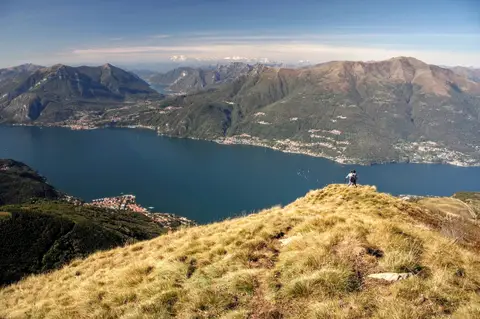 Lake ComoAlpe Giumello and Monte Croce di MuggioA short, easy hike to a panoramic summit high above Lake Como
- Grade
- T
- Time
- 1:30h
- Distance
- 3.5km
- Ascent
- 220m
- Rating
- 7/10
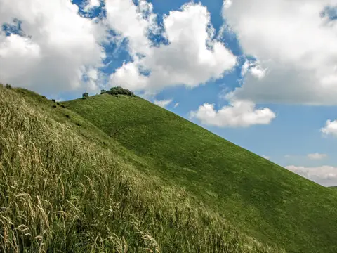 Lake ComoThe Boletto and Bolettone loopA loop along the grassy ridges of Monte Boletto and Monte Bolettone, squeezed between the plain and Lake Como
- Grade
- T
- Time
- 5:00h
- Distance
- 15km
- Ascent
- 740m
- Rating
- 7/10
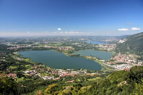 Lake ComoThe protected path on Monte BarroA slightly more entertaining alternative to the normal ascent of Monte Barro.
- Grade
- EE
- Time
- 2:00h
- Distance
- 3.5km
- Ascent
- 310m
- Rating
- 7/10
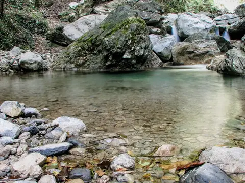 Lake ComoVia del Fiume in Val d'EraA protected path among little waterfalls and pools, in a deep, narrow valley at the foot of the Grigne.
- Grade
- EE
- Time
- 5:00h
- Distance
- 12km
- Ascent
- 710m
- Rating
- 7/10
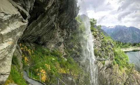 PiedmontThe Valle Antrona loop: Lago Antrona and Lago di CampliccioliA short hike around the lakes of Antrona and Campliccioli, in the lower Valle Antrona.
- Grade
- T
- Time
- 3:00h
- Distance
- 10km
- Ascent
- 400m
- Rating
- 7/10
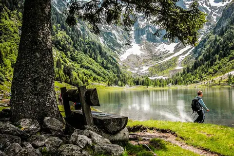 SwitzerlandLago di Cama in the Val di CamaA small Alpine lake set in an amphitheatre of peaks.
- Grade
- T
- Time
- 6:00h
- Distance
- 13km
- Ascent
- 940m
- Rating
- 7/10
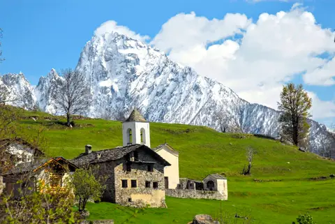 ValchiavennaDaloo and Lagunc, balconies over the ValchiavennaA mule track, a little white church and a unique view over the Piana di Chiavenna.
- Grade
- T
- Time
- 3:00h
- Distance
- 6km
- Ascent
- 650m
- Rating
- 7/10
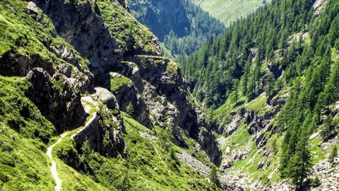 ValchiavennaThe Sentiero del Cardinello (or Via Mala)Carved into the rock of a narrow gorge, the Sentiero del Cardinello is one of the oldest and most spectacular stretches of the Via Spluga.
- Grade
- E
- Time
- 4:30h
- Distance
- 12km
- Ascent
- 660m
- Rating
- 7/10
Questions
The answers come from the hike pages listed here.
Which one is the best, in your view?
Monte San Primo and Rifugio Martina loop, Monte Grona and Monte Bregagno, Cima di Morissolo and the Linea Cadorna fortifications and others, all rated 8 out of 10.
Which one is the easiest?
Cima di Morissolo and the Linea Cadorna fortifications: grade T, 1:30 hours of walking and 170 metres of ascent.
How long do these hikes take?
From 1:30 to 6:00 hours of walking, with ascents between 170 and 1,120 metres.
More guides
Other lists that share some of these hikes.