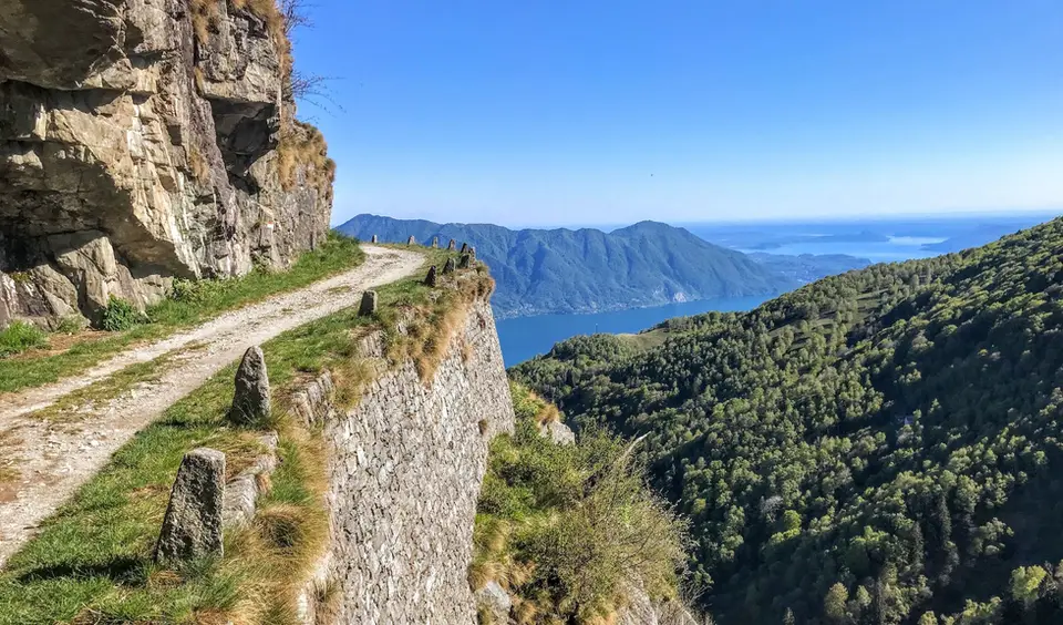
November is the most uncertain month of the year for walkers: in some years the first snow covers the high valleys early in the month, in others autumn lingers with clear, mild days until December. Our list holds both possibilities together, with the last larch hikes at the top and, straight after, the low trails of the lakes and valley floors that still work when it has already snowed higher up. Almost all high huts are closed, the summer lifts have stopped, and the days are so short that it pays to think in hours of daylight before kilometres.
If the snow is late, Val di Campo with the Saoseo and Viola lakes stays at its best into November, and the Rifugio Cristina in Valmalenco or the balcony path between Silvaplana and the Maloja can still offer the last colours. When winter comes early, instead, the Cima di Morissolo above Lake Maggiore, the loop of the Antrona and Campliccioli lakes and the Acquafraggia waterfalls with Savogno and Dasile are short, low hikes full of things to see. The Sentiero del Cardinello, in its gorge on the Via Spluga, is lonelier than ever in November.
Good to know
In the Swiss National Park the larches shed their needles in the first half of November, sooner if hard frosts and wind arrive, and from then on the Engadine valleys turn from gold to grey within a few days. Down on the plain, meanwhile, the days of temperature inversion return, with fog below and sun above, which make the balconies over the lakes more interesting than the summits. The Splügen Pass road usually closes for the winter between November and December.
11 November, St Martin's Day, was a deadline in the Alpine and farming world: in many German-speaking regions service contracts and land leases began or ended at Martinmas, at the close of the farming year, so much so that the day was called Zinstag, the day rents fell due. In northern Italy the phrase fare San Martino still means to move house, and anyone walking in November often finds the same end-of-season mood in the closed summer pastures and emptying villages.
The hikes
By our rating, highest first. Browse them as photographs, as a list with all the numbers or on the map.
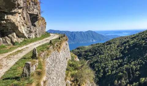 PiedmontCima di Morissolo and the Linea Cadorna fortificationsA summit dropping sheer to Lake Maggiore, just 30 minutes' walk away, with a maze of Linea Cadorna tunnels.
- Grade
- T
- Time
- 1:30h
- Distance
- 3.5km
- Ascent
- 170m
- Rating
- 8/10
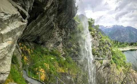
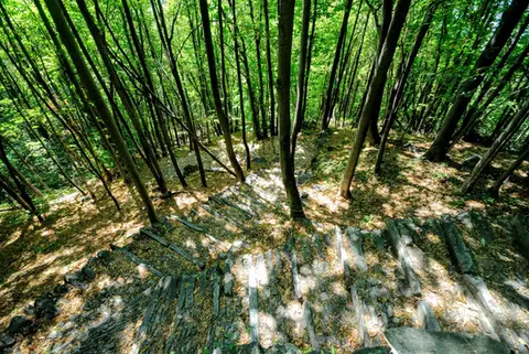 ValchiavennaAcquafraggia Falls, Savogno and DasileA loop around the Acquafraggia Falls: ladders, pools, Lilliputian villages and old mule tracks.
- Grade
- T
- Time
- 3:00h
- Distance
- 5.5km
- Ascent
- 620m
- Rating
- 8/10
 PiedmontThe Valle Antrona loop: Lago Antrona and Lago di CampliccioliA short hike around the lakes of Antrona and Campliccioli, in the lower Valle Antrona.
- Grade
- T
- Time
- 3:00h
- Distance
- 10km
- Ascent
- 400m
- Rating
- 7/10
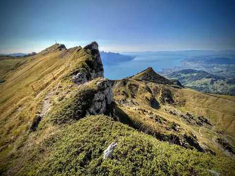 SwitzerlandTo the Rochers de Naye, a balcony over Lake GenevaThe 2000-metre peak closest to Lake Geneva: half green plateau, half vertical rock pinnacle.
- Grade
- E+
- Time
- 4:00h
- Distance
- 10km
- Ascent
- 550m
- Rating
- 9/10
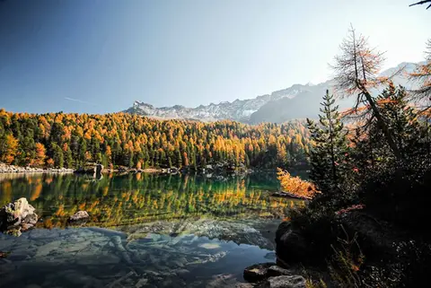 SwitzerlandLago di Saoseo and Lago Viola in the Val di CampoTwo gems of lakes in a valley dotted with alpine pastures. At its best between October and November.
- Grade
- T
- Time
- 4:30h
- Distance
- 13km
- Ascent
- 550m
- Rating
- 9/10
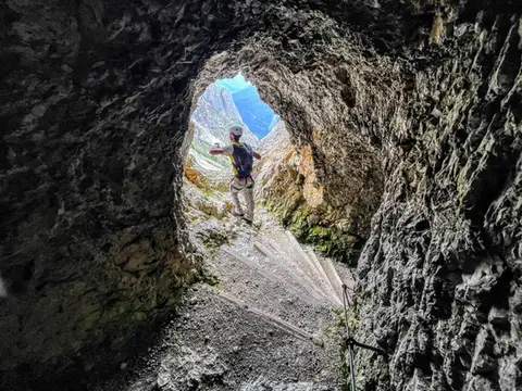 DolomitesLagazuoi loop hike300m of ascent through military galleries and tunnels to the panoramic terrace of the Lagazuoi. Optional: the Ferrata degli Alpini on the Col dei Bos (C/D)
- Grade
- E
- Time
- 5:00h
- Distance
- 10km
- Ascent
- 700m
- Rating
- 8/10
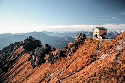 Lake ComoFrom Piani Resinelli to Rifugio RosalbaOne of the great classics of the Lombard Prealps. Dolomite-like views, an hour's drive from Milan.
- Grade
- E
- Time
- 3:00h
- Distance
- 6km
- Ascent
- 530m
- Rating
- 8/10
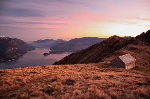 Lake ComoMonte Grona and Monte BregagnoAlong the grassy ridge between Monte Grona and Bregagno, face to face with Lake Como.
- Grade
- E
- Time
- 6:00h
- Distance
- 13km
- Ascent
- 1,120m
- Rating
- 8/10
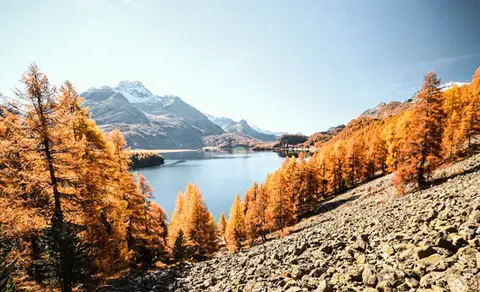 SwitzerlandThe balcony path from Silvaplana to the Maloja PassAn easy balcony path dominated by breathtaking views of Lake Sils and Lake Silvaplana, with the Bernina and the peaks of the Bregaglia in the background.
- Grade
- T
- Time
- 4:00h
- Distance
- 13km
- Ascent
- 470m
- Rating
- 8/10
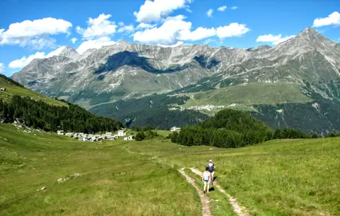 ValchiavennaThe Lago Bianco loop on the Pian dei CavalliOn the balcony of the Valle Spluga: from Starleggia to the Pian dei Cavalli, the Lago Bianco and Monte Bardan.
- Grade
- E
- Time
- 4:00h
- Distance
- 10km
- Ascent
- 830m
- Rating
- 8/10
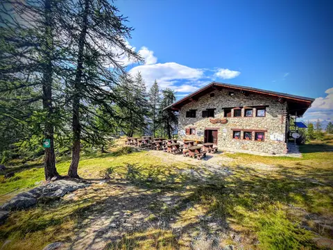 Aosta ValleyTo Rifugio Barbustel, in the heart of the Monte Avic Natural ParkCrystal-clear lakes and larch woods with a North American feel, in under 3 hours of walking.
- Grade
- T
- Time
- 4:30h
- Distance
- 9.6km
- Ascent
- 700m
- Rating
- 8/10
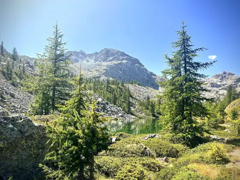 Aosta ValleyThe Monte Avic 10-lake loop (2 days)10 lakes, 3 mountain huts and a 3000-metre peak. A long 27km loop in the Monte Avic Natural Park, almost entirely in stern alpine terrain between 2000 and 3000 metres.
- Grade
- E+
- Time
- 12:00h
- Distance
- 27km
- Ascent
- 1,710m
- Rating
- 8/10
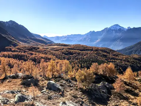 ValtellinaRifugio Cristina, a balcony over the larch woods of the ValmalencoA short walk to Rifugio Cristina at Alpe Prabello, at the foot of Pizzo Scalino.
- Grade
- T
- Time
- 2:00h
- Distance
- 6.5km
- Ascent
- 230m
- Rating
- 8/10
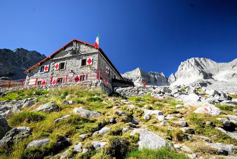 ValtellinaRifugio Gianetti in Val MasinoAn essential stop in the mountains of Lombardy, face to face with the granite giants of Val Masino.
- Grade
- E/EE
- Time
- 7:30h
- Distance
- 15km
- Ascent
- 1,480m
- Rating
- 8/10
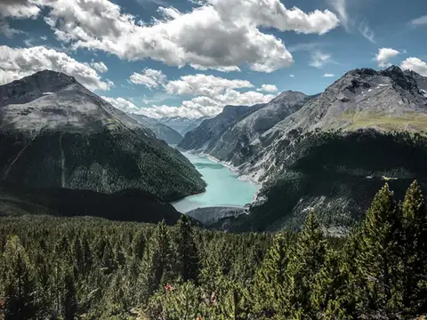 SwitzerlandAlp and Munt La Schera, lookouts over Lago di LivignoNorth American views, with the turquoise Lago di Livigno and broad valleys cloaked in firs and larches.
- Grade
- E
- Time
- 4:30h
- Distance
- 13km
- Ascent
- 810m
- Rating
- 7/10
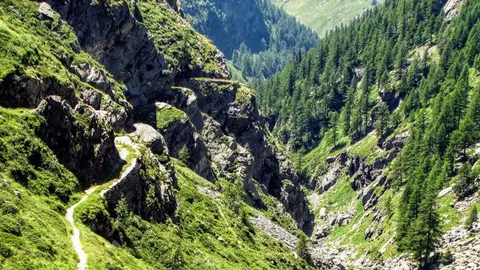 ValchiavennaThe Sentiero del Cardinello (or Via Mala)Carved into the rock of a narrow gorge, the Sentiero del Cardinello is one of the oldest and most spectacular stretches of the Via Spluga.
- Grade
- E
- Time
- 4:30h
- Distance
- 12km
- Ascent
- 660m
- Rating
- 7/10
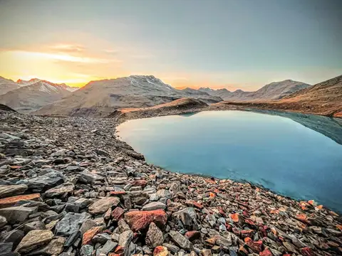 Valtellina · SwitzerlandLago Vago, the blue pearl of LivignoA short hike to Lago Vago, a Caribbean-looking tarn so blue it seems fake.
- Grade
- E
- Time
- 3:00h
- Distance
- 6km
- Ascent
- 520m
- Rating
- 7/10
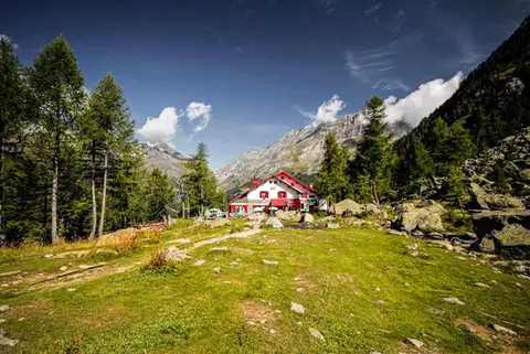 ValtellinaRifugio Gerli Porro and the Ventina Glacier TrailDiscovering Alpe Ventina, on the trail of a retreating glacier.
- Grade
- T
- Time
- 3:30h
- Distance
- 10km
- Ascent
- 700m
- Rating
- 7/10
Questions
The answers come from the hike pages listed here.
Which one is the best, in your view?
To the Rochers de Naye, a balcony over Lake Geneva and Lago di Saoseo and Lago Viola in the Val di Campo, all rated 9 out of 10.
Which one is the easiest?
Cima di Morissolo and the Linea Cadorna fortifications: grade T, 1:30 hours of walking and 170 metres of ascent.
How long do these hikes take?
From 1:30 to 12:00 hours of walking, with ascents between 170 and 1,710 metres.
More guides
Other lists that share some of these hikes.