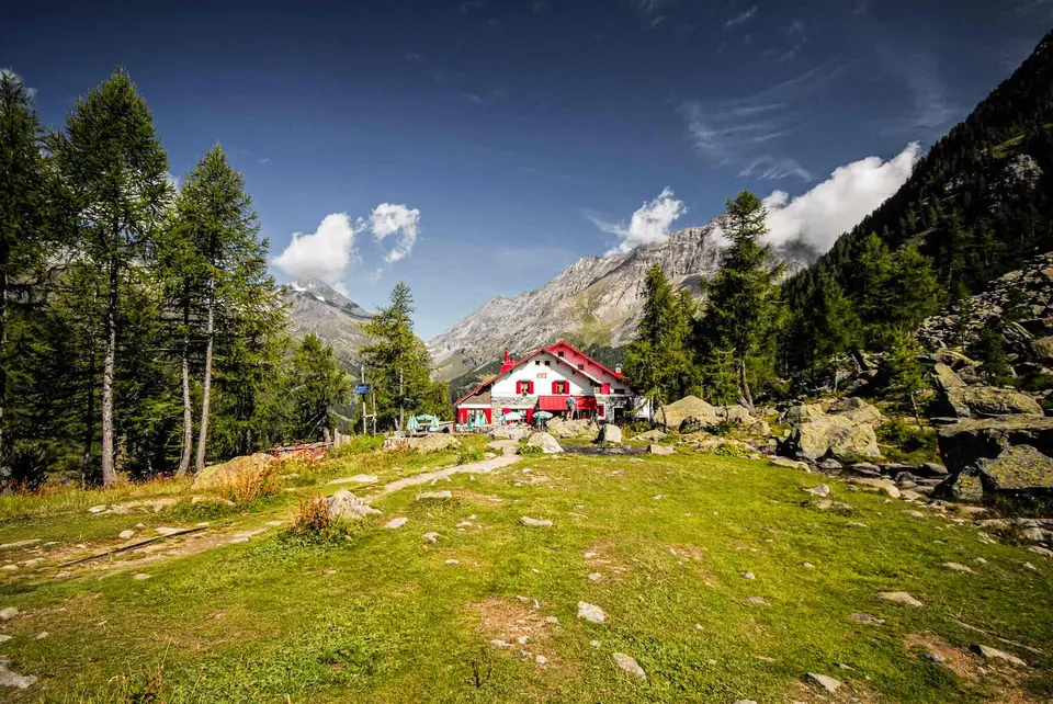
The Ventina Glacier
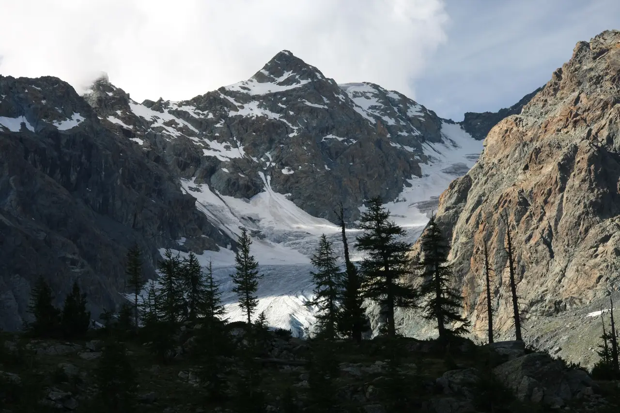
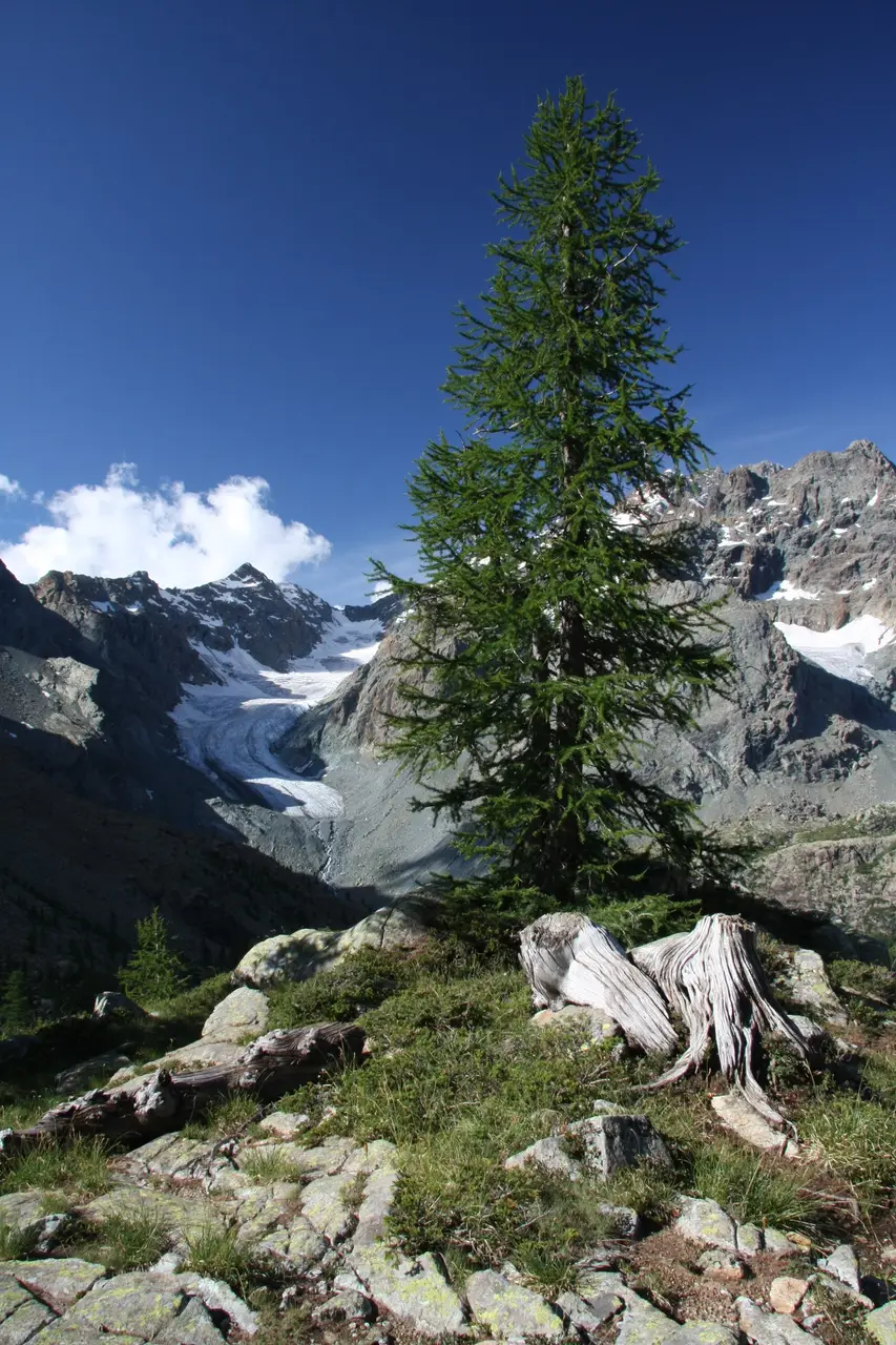
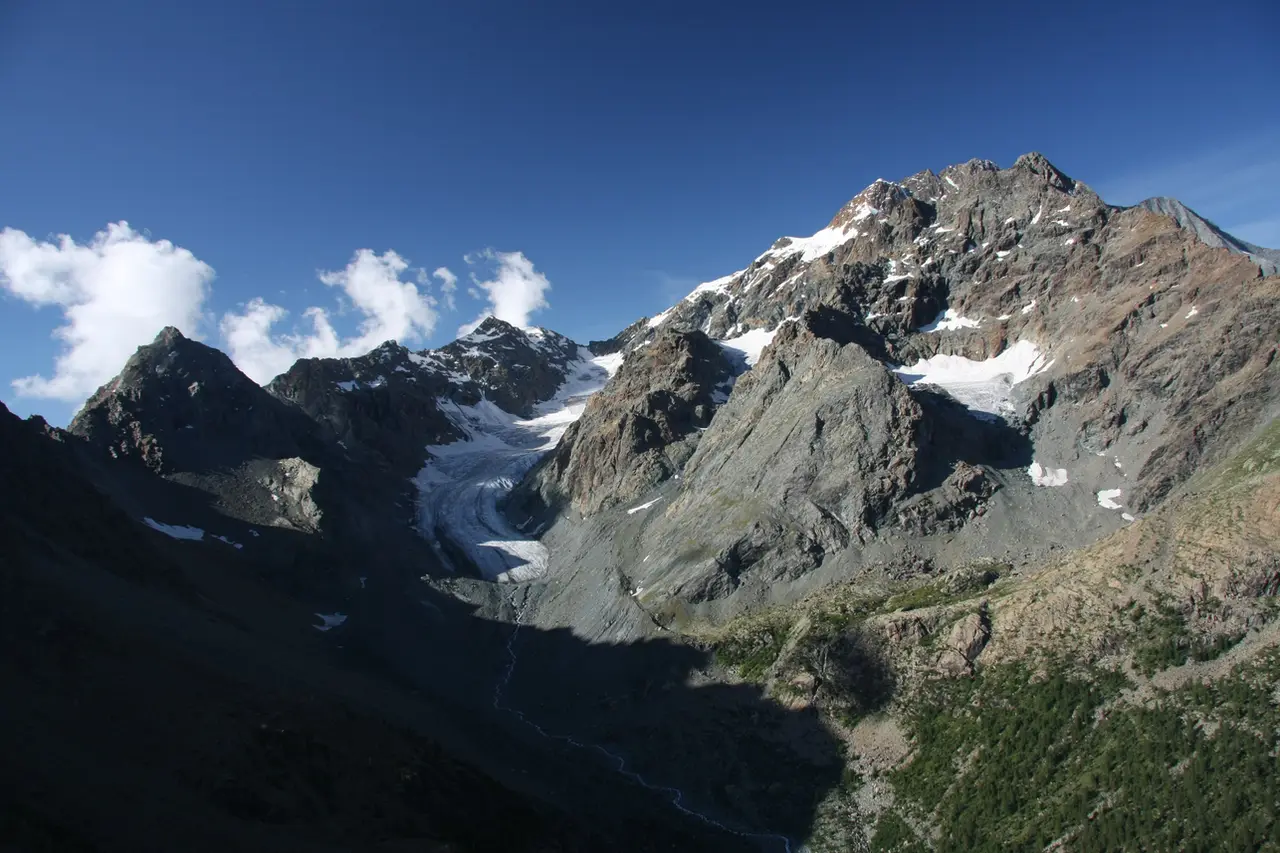
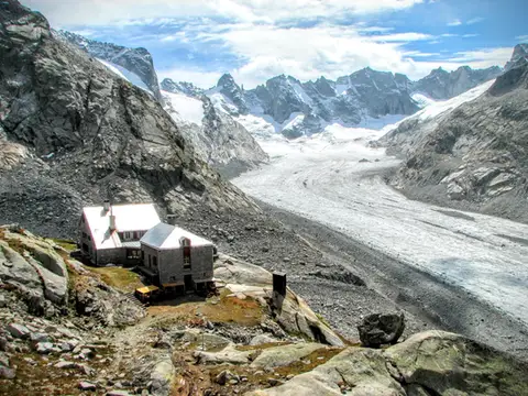
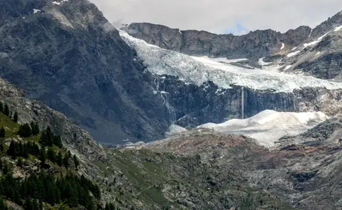
The Ventina Glacier (del Ventina, or della Ventina), in the shadow of the imposing outlines of the Disgrazia and the Cassandra, is one of the natural gems of the Valmalenco and of the Valtellina as a whole, being one of the most easily reached glaciers in our Lombard mountains. Sadly, the general retreat of all glaciers, under way for more than a hundred years, has hit the Ventina hard too: it loses a few dozen metres every year, so that each year we have to climb higher and work harder to reach its snout.
From Chiareggio to Rifugio Gerli Porro and Rifugio Ventina
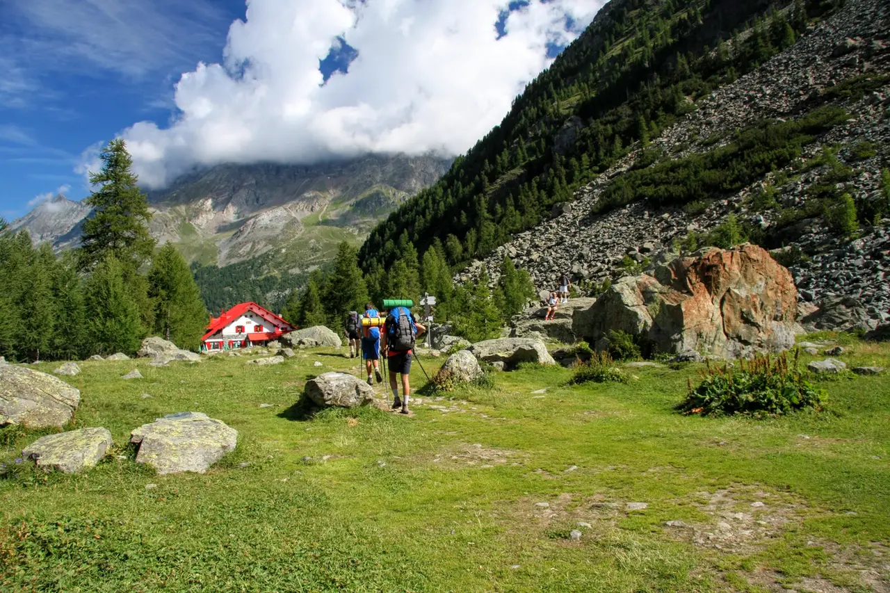
The starting point is Chiareggio (m1612), the last inhabited village on the road up the western branch of the Valmalenco. Going right through the village we come to a huge gravel car park below the houses of Chiareggio, beside the Mallero. Once parked, we cross the muddy waters of the Mallero on a small bridge, beyond which the cart track bends right and gradually makes its way into the Ventina valley.
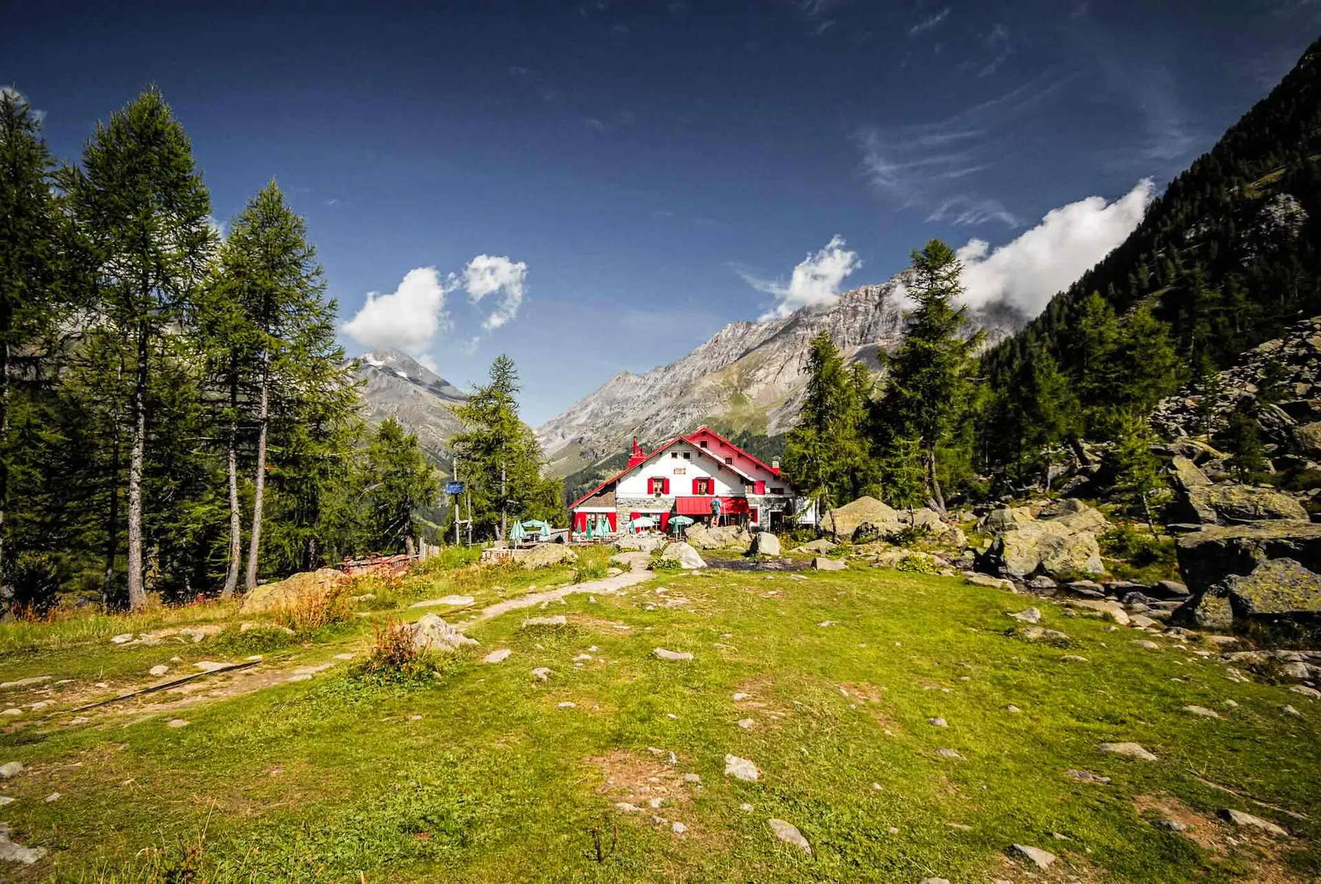
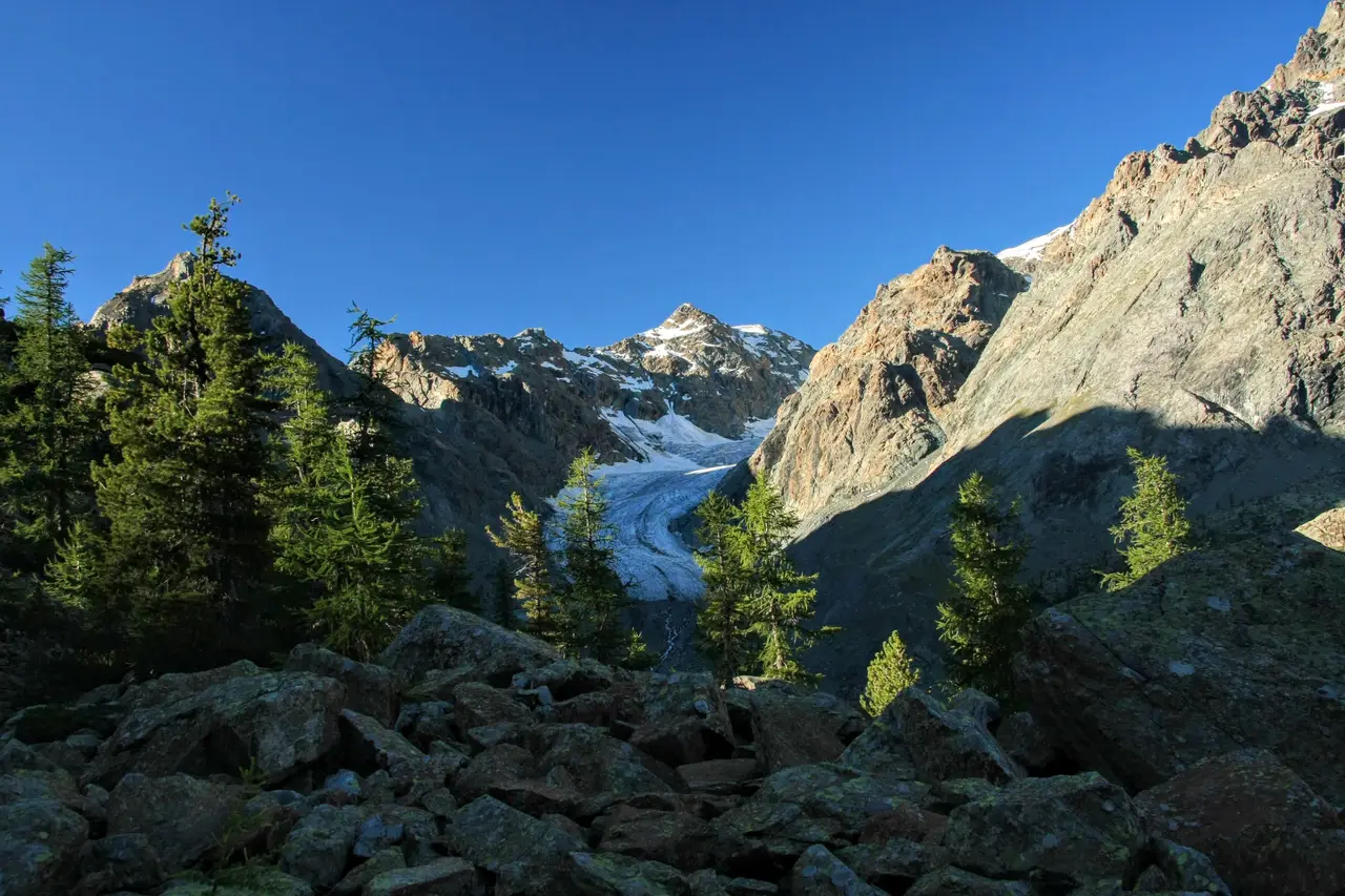
We are in a wood of pine and larch that lets little be seen. Only higher up, a few minutes from the end, do we leave the wood to cross, still on an easy path, a vast boulder field, from which we finally have a view of this part of the Valmalenco, with the characteristic V-shaped notch of the Passo del Muretto to the north. A few more metres and we come out behind Rifugio Gerli-Porro, at the northern end of Alpe Ventina (m1960, h1.00). The eye runs across the meadows, beyond the alluvial plain and up the ancient moraines, finally reaching the body of the Ventina glacier, shaped like a crescent moon and sadly no longer as massive as it was a few decades ago.
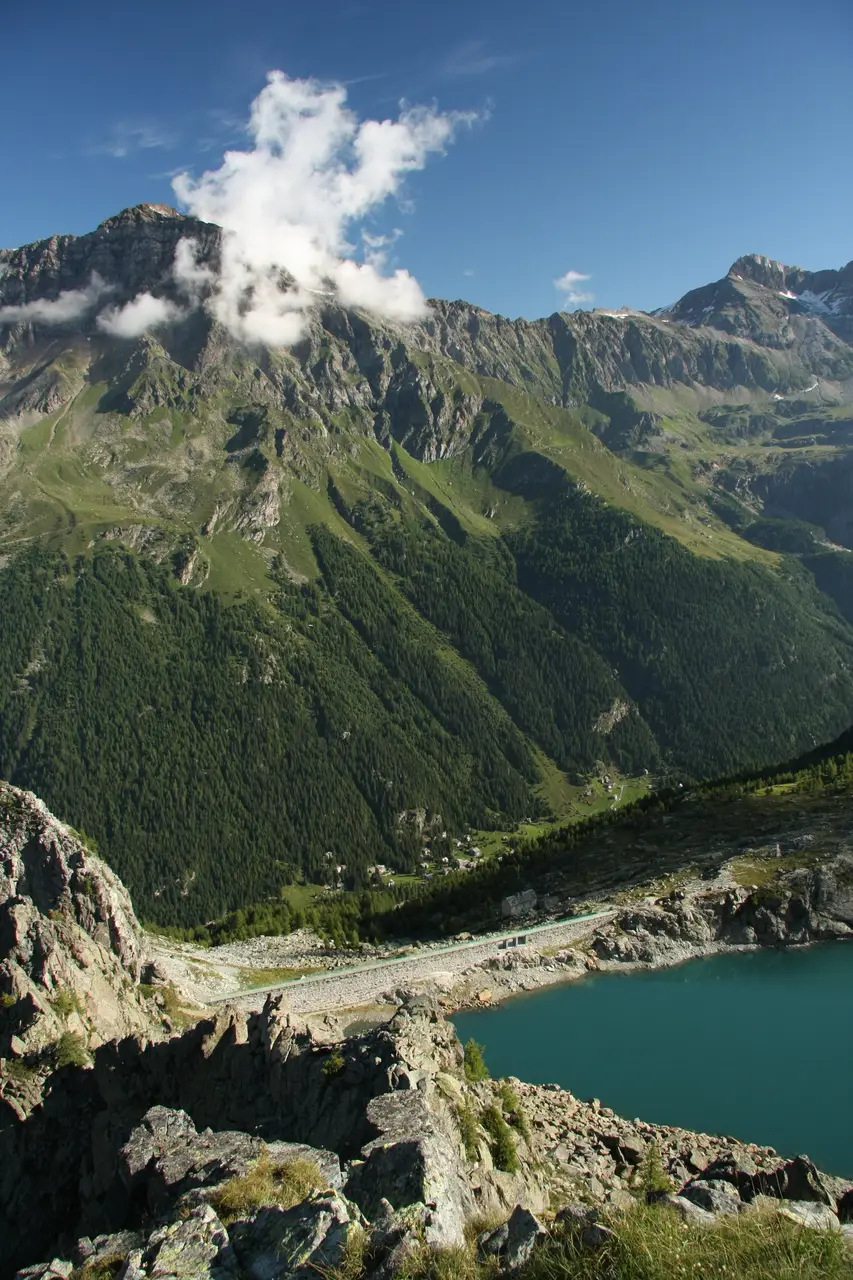
If we want to add something more, we can climb the Torrione Porro (about h1.30 return), an easy knoll with a bird's-eye view of the Ventina and Lago Pirola, or (the more classic choice) reach the snout of the glacier.
The Vittorio Sella Glacier Trail to the Ventina Glacier
This second option takes us along the Sentiero Glaciologico Vittorio Sella, marked with blue dots and fitted with small plaques showing the position of the glacier snout at various points during the last century. We join it by crossing the flat ground past Rifugio Ventina, keeping to the eastern side of the valley. Ignoring the turning for Passo Ventina, we enter the semicircular valley carved out by the glacier. As we go on, the crest of the moraine on our left rises higher and higher, showing us the thickness the glacier reached at its greatest extent during the Little Ice Age.
At the foot of a rock step the glacier trail leaves us, and we have to continue on steep stony tracks. Once on the shelf above, we find before our eyes the snout of the Ventina (h1.30) in all its grandeur.
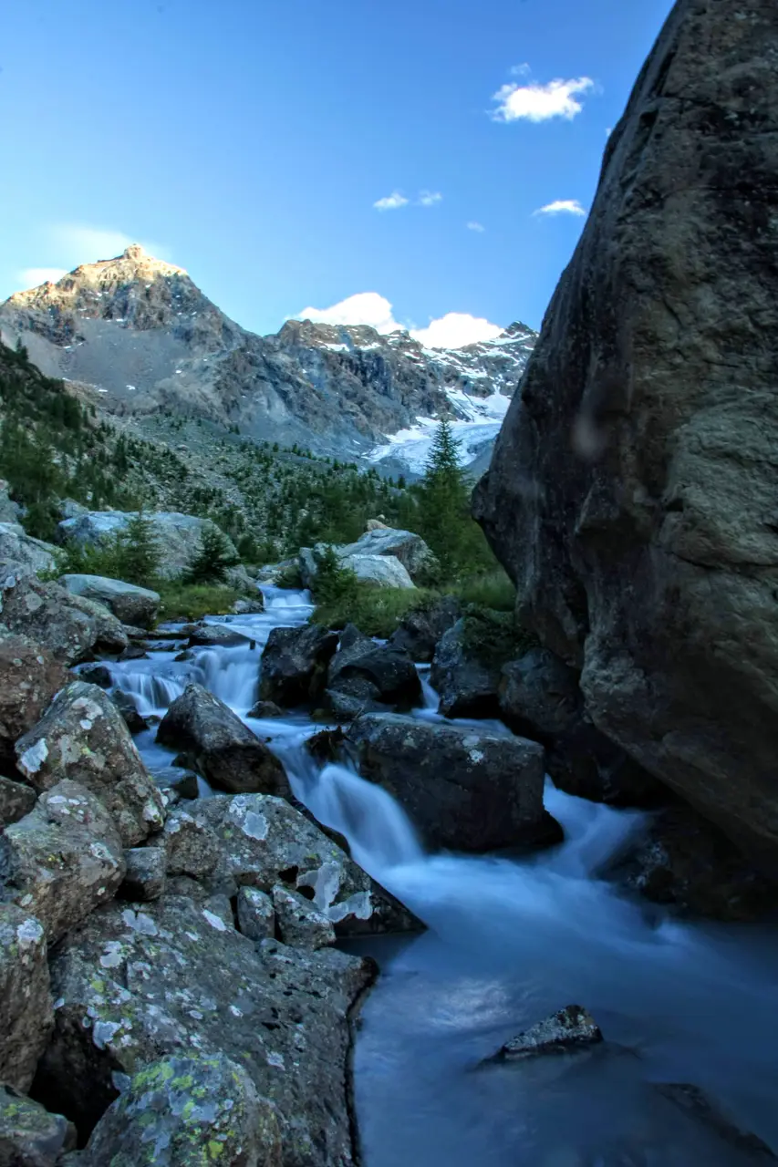
On the way back, once down the step, we cross the stream on a small bridge to complete the glacier trail along the western side of the valley. We return to Alpe Ventina (h1.00), from where we head down the valley on the cart track we used in the morning (h0.45).