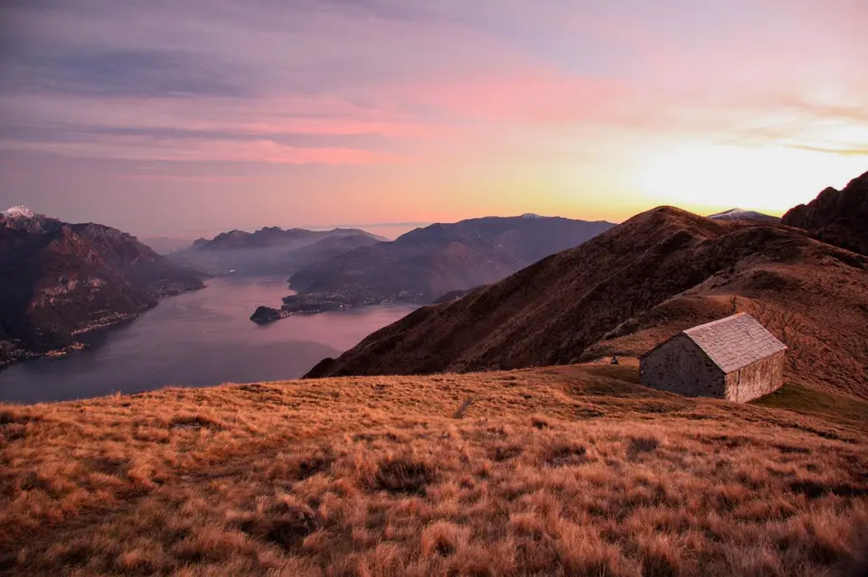
Monte Grona and Monte Bregagno
Around Lake Como the summits are low, almost all of them under 2,000 metres, but the view they offer is out of all proportion to their height, because the lake surrounds them on three sides and the Alps close the horizon to the north.
This page gathers the peaks we have climbed in the Triangolo Lariano, the Lecco area and on the western shore, from the Croce di Muggio, reached in an hour and a half, to the Resegone ridge for experienced hikers.
The Resegone and its neighbours
Among the peaks on this page there is one that almost every Italian knows without ever having climbed it. The Resegone takes its name from its jagged ridge, like a saw, the résega of the Lombard dialect, and Alessandro Manzoni describes it in the opening pages of The Betrothed for exactly that row of points, so that its profile has become the very image of Lecco. The Via delle Creste Orientali, for experienced hikers, runs close along those towers, and it is the most direct way to understand why the mountain is called what it is.
On the other side of the lake, in the Triangolo Lariano, the highest point is Monte San Primo, a little over 1,680 metres, which presides over the promontory between the lake's two southern arms. These are low summits, and for that very reason the weather matters more than the altitude: in summer the haze from the plain can hide the Alps by mid-morning, while the clearest days often come in autumn and winter, after the north winds have passed through. On these peaks, then, choosing the day matters as much as choosing the route.
The hikes
By our rating, highest first. Browse them as photographs, as a list with all the numbers or on the map.
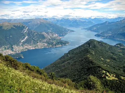 Lake ComoMonte San Primo and Rifugio Martina loopAlong the most panoramic ridge of the Triangolo Lariano, with lunch at the historic Rifugio Martina.
- Grade
- E
- Time
- 3:00h
- Distance
- 7km
- Ascent
- 550m
- Rating
- 8/10
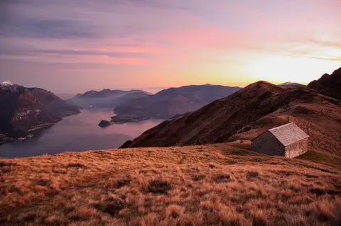 Lake ComoMonte Grona and Monte BregagnoAlong the grassy ridge between Monte Grona and Bregagno, face to face with Lake Como.
- Grade
- E
- Time
- 6:00h
- Distance
- 13km
- Ascent
- 1,120m
- Rating
- 8/10
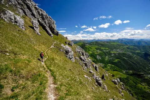 Lake ComoThe Via delle Creste Orientali on the ResegoneAn entertaining ridge path along the Dolomite-like towers of the Resegone.
- Grade
- EE
- Time
- 5:00h
- Distance
- 12km
- Ascent
- 920m
- Rating
- 8/10
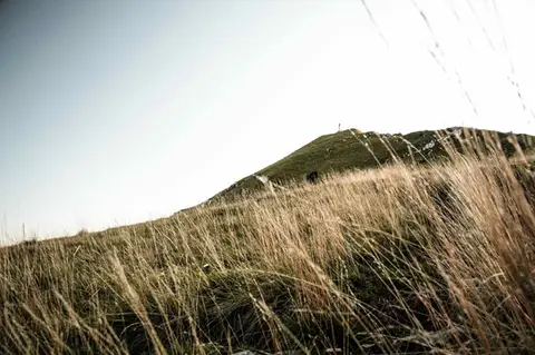 Lake ComoTo Monte Cornizzolo by way of San Pietro al MonteOne of the most panoramic summits of the Triangolo Lariano, by way of a Romanesque abbey.
- Grade
- E
- Time
- 5:00h
- Distance
- 11km
- Ascent
- 1,110m
- Rating
- 7/10
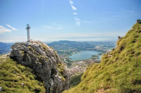 Lake ComoTo Monte Moregallo by way of Sant'IsidoroA hike to Monte Moregallo, an enjoyable hill close to Lecco and the Corni di Canzo.
- Grade
- E
- Time
- 4:30h
- Distance
- 8.5km
- Ascent
- 920m
- Rating
- 7/10
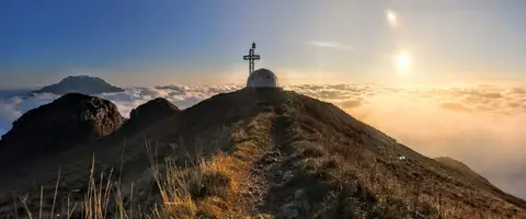 Lake ComoTo the igloo bivouac on Monte Due ManiAn easy summit facing the Grigne, ideal for a quick sunset outing from Lecco or Milan.
- Grade
- E
- Time
- 2:30h
- Distance
- 5km
- Ascent
- 500m
- Rating
- 7/10
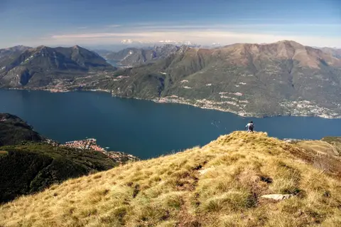 Lake ComoAlpe Giumello and Monte Croce di MuggioA short, easy hike to a panoramic summit high above Lake Como
- Grade
- T
- Time
- 1:30h
- Distance
- 3.5km
- Ascent
- 220m
- Rating
- 7/10
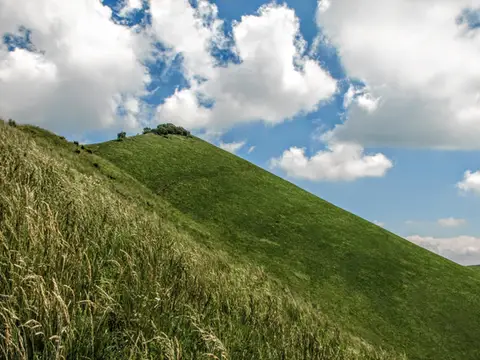 Lake ComoThe Boletto and Bolettone loopA loop along the grassy ridges of Monte Boletto and Monte Bolettone, squeezed between the plain and Lake Como
- Grade
- T
- Time
- 5:00h
- Distance
- 15km
- Ascent
- 740m
- Rating
- 7/10
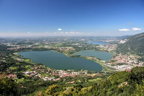 Lake ComoThe protected path on Monte BarroA slightly more entertaining alternative to the normal ascent of Monte Barro.
- Grade
- EE
- Time
- 2:00h
- Distance
- 3.5km
- Ascent
- 310m
- Rating
- 7/10
Questions
The answers come from the hike pages listed here.
Which one is the best, in your view?
Monte San Primo and Rifugio Martina loop, Monte Grona and Monte Bregagno, The Via delle Creste Orientali on the Resegone, all rated 8 out of 10.
Which one is the easiest?
Alpe Giumello and Monte Croce di Muggio: grade T, 1:30 hours of walking and 220 metres of ascent.
How long do these hikes take?
From 1:30 to 6:00 hours of walking, with ascents between 220 and 1,120 metres.
More guides
Other lists that share some of these hikes.