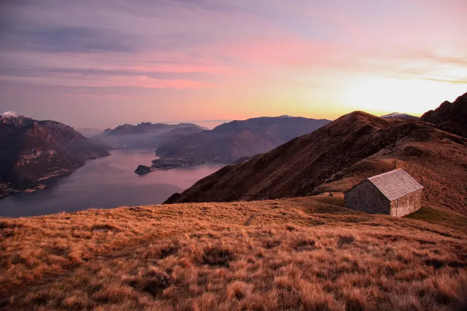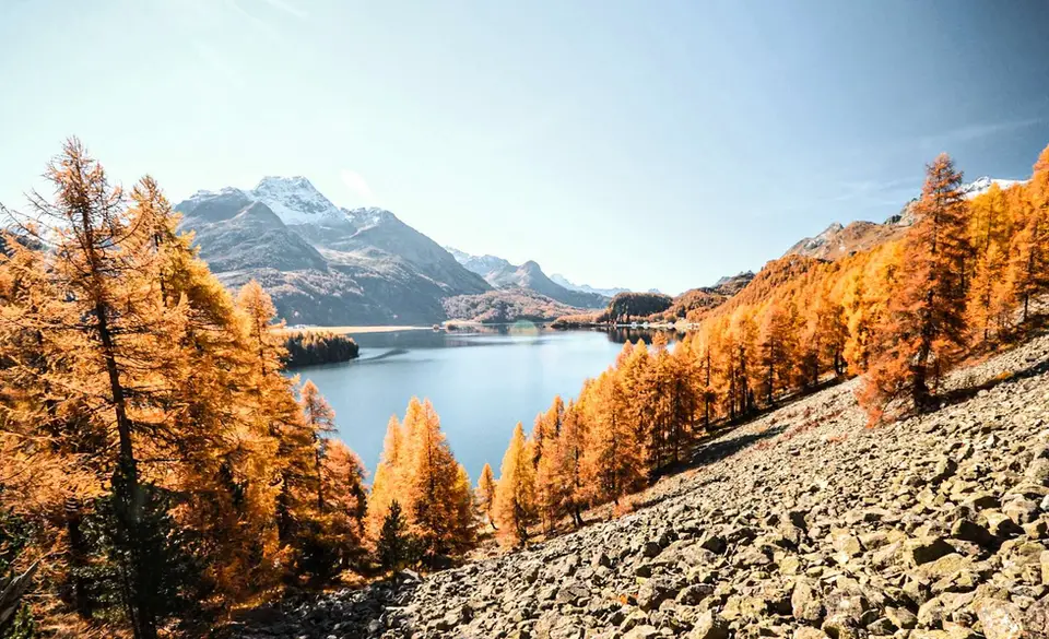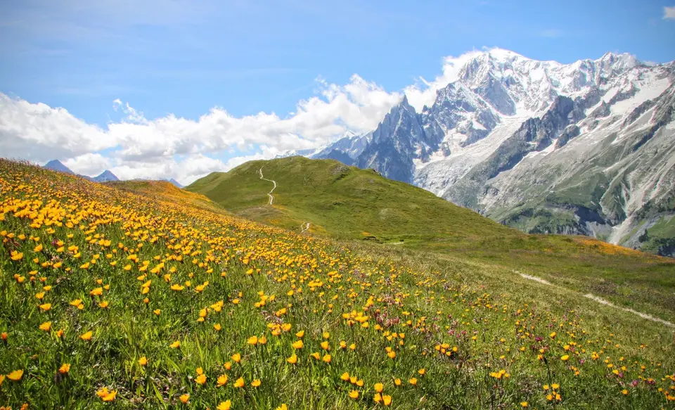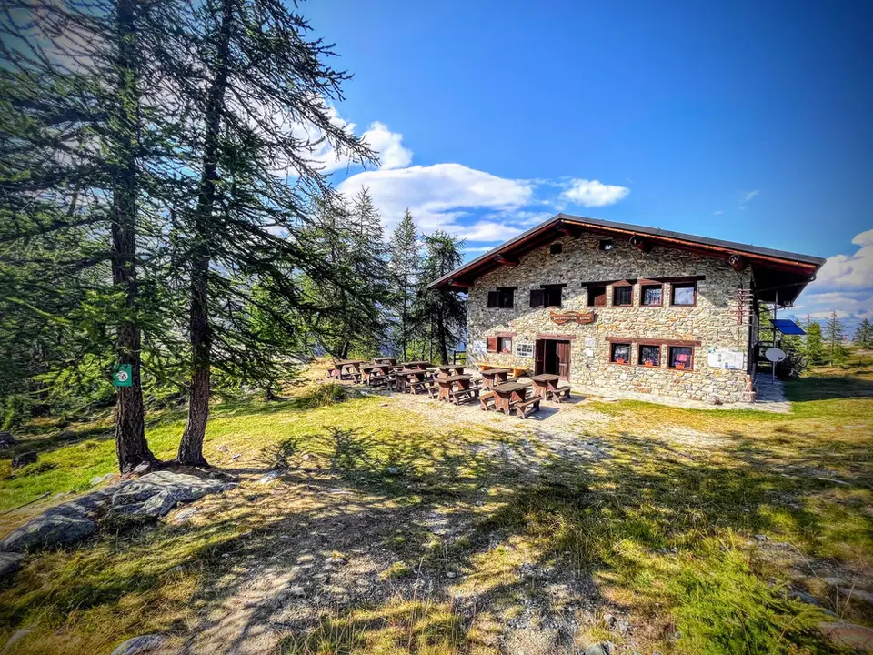
Turin has the Alps on its horizon, and on clear days the ring of peaks that closes off the plain is visible from many of the city's streets. Within 130 kilometres you can reach valleys that could hardly be more different: the Maritime Alps to the south, the Aosta Valley to the north with Mont Blanc at its head, and to the north-east the valleys of the Ossola and Monte Rosa. This page gathers our hikes within that radius, from walks of a few hours to two-day circuits.
In the Aosta Valley we have the Monte Avic nature park, with Rifugio Barbustel and the ten-lakes loop, the Rutor valley with its waterfalls and Rifugio Deffeyes, and two terraces facing Mont Blanc: Monte Fortin with Rifugio Elisabetta Soldini in the Val Veny, opposite the Miage Glacier, and Rifugio Bertone with the Testa della Tronche in the Val Ferret. To the south, in the upper Valle Gesso, the hike to the Valasco and Questa huts follows the military mule tracks of Valscura; to the north-east, Rifugio Zamboni Zappa leads to the foot of Monte Rosa's 4,000-metre peaks, above the Belvedere Glacier. The list is completed by the Antrona lakes circuit, Cima di Morissolo above Lake Maggiore and, just across the Swiss border, the Orny Glacier and the Cabane du Trient.
Good to know
The upper Valle Gesso carries the marks of two overlapping histories. In 1857 the royal hunting reserve of Valdieri and Entracque was founded, and the hunting lodge on the Pian del Valasco, now a mountain hut, was built for Victor Emmanuel II's chamois hunts; later, between the end of the nineteenth century and the 1930s, the army built roads and mule tracks here for the defences along the French border, and some of them were used in June 1940. Sources disagree on the date of each individual track, but walking through Valscura it is easy to recognise the dry-stone walls and regular hairpins of people building for military use.
Monte Avic, for its part, was the first nature park in the Aosta Valley, established in 1989 in the upper valley of the Chalamy stream, partly to protect its forests of mountain pine, a conifer that is rare in the region. And from Rifugio Zamboni Zappa you look up at the east face of Monte Rosa, on whose crest, at Punta Gnifetti, the CAI's Capanna Regina Margherita has stood since 1893: at 4,554 metres, it is considered the highest building in Europe.
The hikes
By our rating, highest first. Browse them as photographs, as a list with all the numbers or on the map.
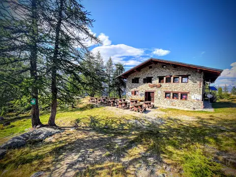 Aosta ValleyTo Rifugio Barbustel, in the heart of the Monte Avic Natural ParkCrystal-clear lakes and larch woods with a North American feel, in under 3 hours of walking.
- Grade
- T
- Time
- 4:30h
- Distance
- 9.6km
- Ascent
- 700m
- Rating
- 8/10
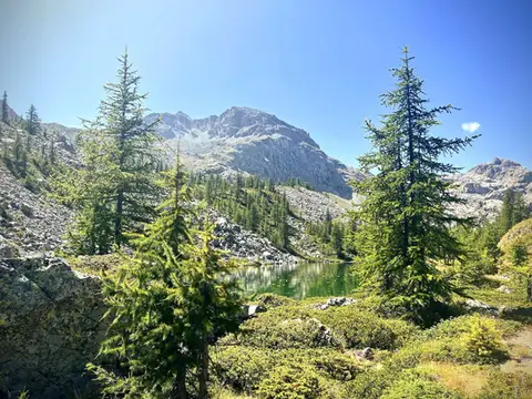 Aosta ValleyThe Monte Avic 10-lake loop (2 days)10 lakes, 3 mountain huts and a 3000-metre peak. A long 27km loop in the Monte Avic Natural Park, almost entirely in stern alpine terrain between 2000 and 3000 metres.
- Grade
- E+
- Time
- 12:00h
- Distance
- 27km
- Ascent
- 1,710m
- Rating
- 8/10
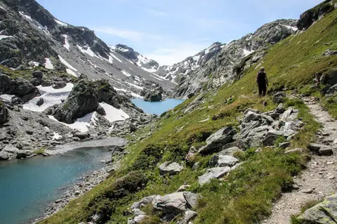 Aosta ValleyLakes, glaciers and waterfalls in the Valle del RutorA hike to Rifugio Deffeyes past the Rutor Falls, face to face with the Rutor Glacier.
- Grade
- E
- Time
- 7:30h
- Distance
- 20km
- Ascent
- 1,070m
- Rating
- 8/10
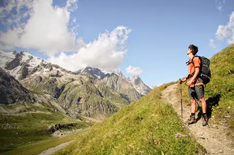 Aosta ValleyMonte Fortin and Rifugio Elisabetta Soldini in Val VenyA sensational viewing terrace over Monte Bianco and the Himalayan-looking Miage Glacier.
- Grade
- E
- Time
- 7:30h
- Distance
- 21km
- Ascent
- 1,190m
- Rating
- 9/10
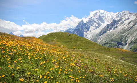 Aosta ValleyRifugio Bertone and Testa della Tronche, a balcony over Monte BiancoIn Val Ferret, on a grassy ridge face to face with the giants of Monte Bianco.
- Grade
- E
- Time
- 6:30h
- Distance
- 16km
- Ascent
- 1,010m
- Rating
- 9/10
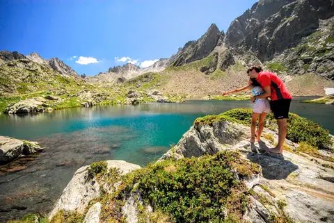 PiedmontRifugio Valasco, Rifugio Questa and the military mule tracks of ValscuraIn the upper Valle Gesso: remarkable military roads, the crystal-clear lakes of Valscura and Claus, and two historic mountain huts.
- Grade
- E
- Time
- 7:00h
- Distance
- 20km
- Ascent
- 1,020m
- Rating
- 9/10
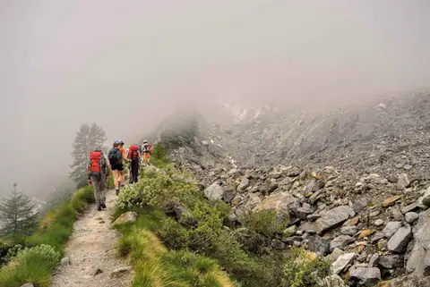 PiedmontRifugio Zamboni Zappa on the Belvedere GlacierAt the foot of the 4000-metre peaks of Monte Rosa, the hike to Rifugio Zamboni Zappa is a tour in glaciology.
- Grade
- E
- Time
- 5:30h
- Distance
- 13km
- Ascent
- 870m
- Rating
- 8/10
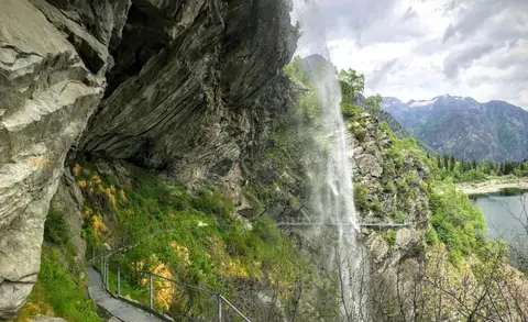 PiedmontThe Valle Antrona loop: Lago Antrona and Lago di CampliccioliA short hike around the lakes of Antrona and Campliccioli, in the lower Valle Antrona.
- Grade
- T
- Time
- 3:00h
- Distance
- 10km
- Ascent
- 400m
- Rating
- 7/10
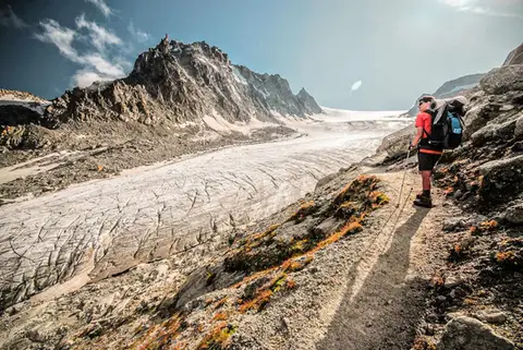 SwitzerlandGlacier d'Orny and Cabane du TrientA walk to the imposing Glacier d'Orny, in the Mont Blanc massif
- Grade
- E
- Time
- 6:00h
- Distance
- 13km
- Ascent
- 970m
- Rating
- 9/10
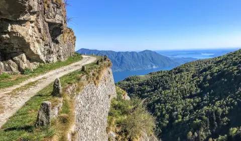 PiedmontCima di Morissolo and the Linea Cadorna fortificationsA summit dropping sheer to Lake Maggiore, just 30 minutes' walk away, with a maze of Linea Cadorna tunnels.
- Grade
- T
- Time
- 1:30h
- Distance
- 3.5km
- Ascent
- 170m
- Rating
- 8/10
Questions
The answers come from the hike pages listed here.
Which one is the best, in your view?
Monte Fortin and Rifugio Elisabetta Soldini in Val Veny, Rifugio Bertone and Testa della Tronche, a balcony over Monte Bianco, Rifugio Valasco, Rifugio Questa and the military mule tracks of Valscura and others, all rated 9 out of 10.
Which one is the easiest?
Cima di Morissolo and the Linea Cadorna fortifications: grade T, 1:30 hours of walking and 170 metres of ascent.
How long do these hikes take?
From 1:30 to 12:00 hours of walking, with ascents between 170 and 1,710 metres.
More guides
Other lists that share some of these hikes.