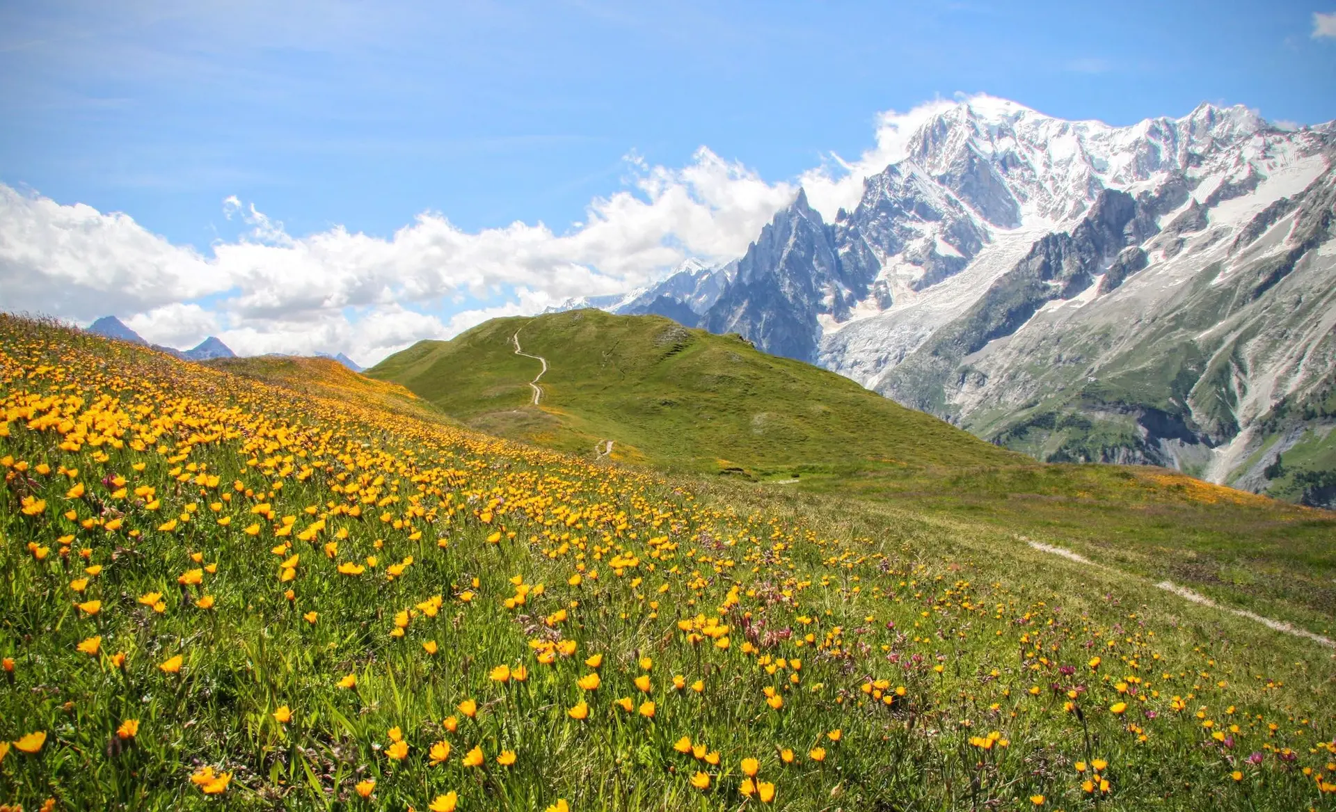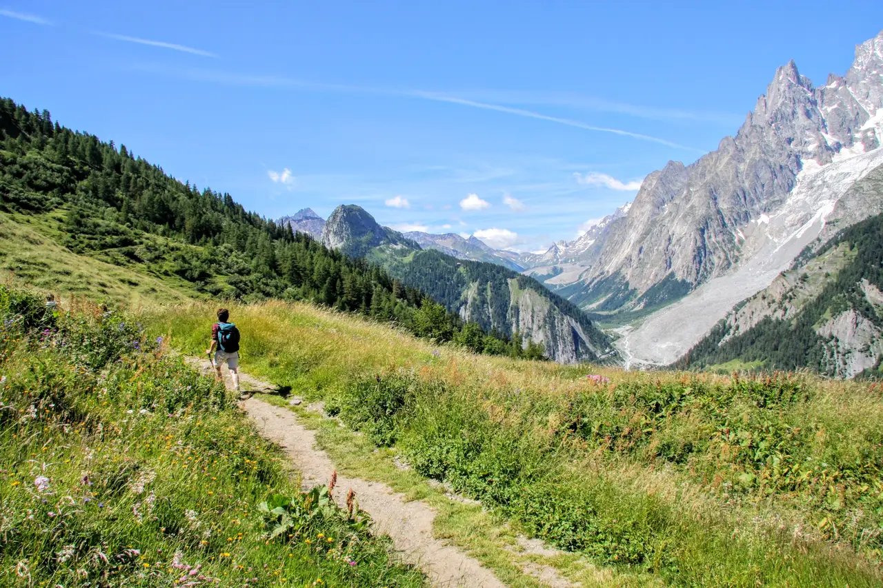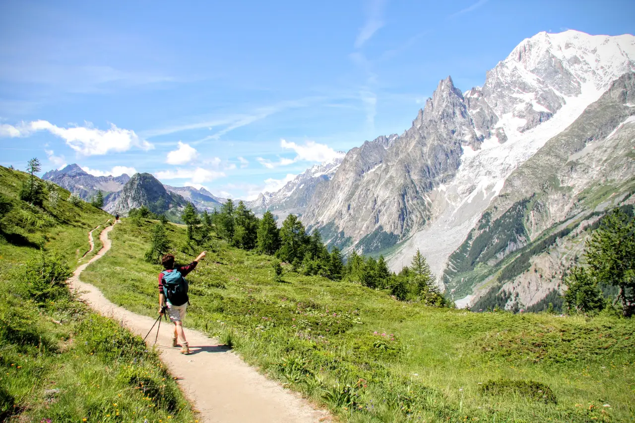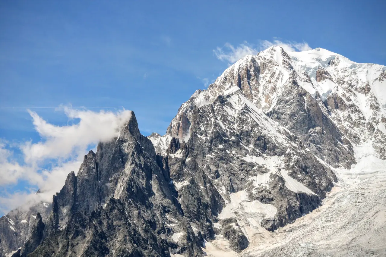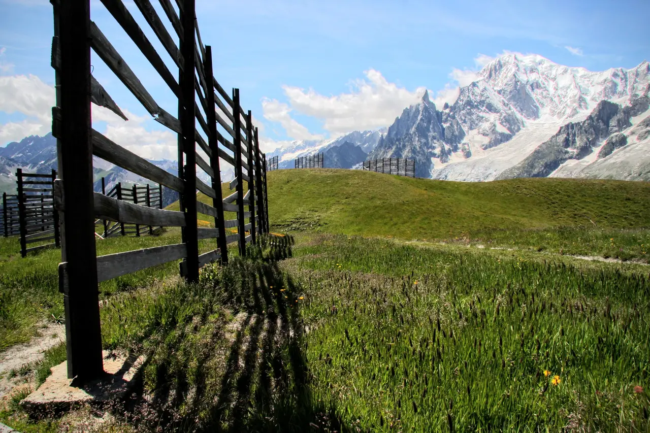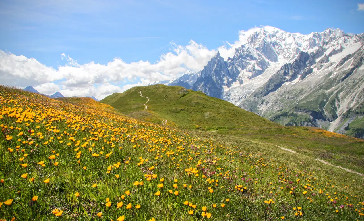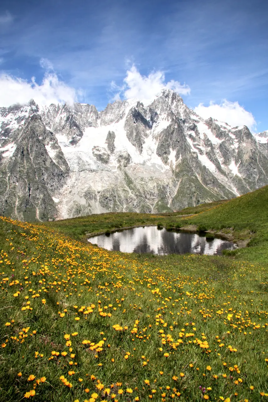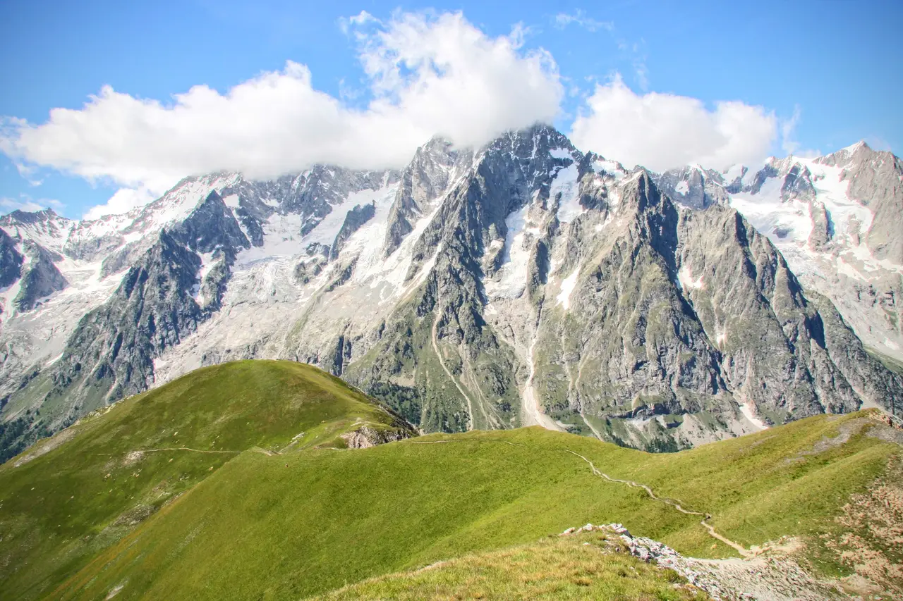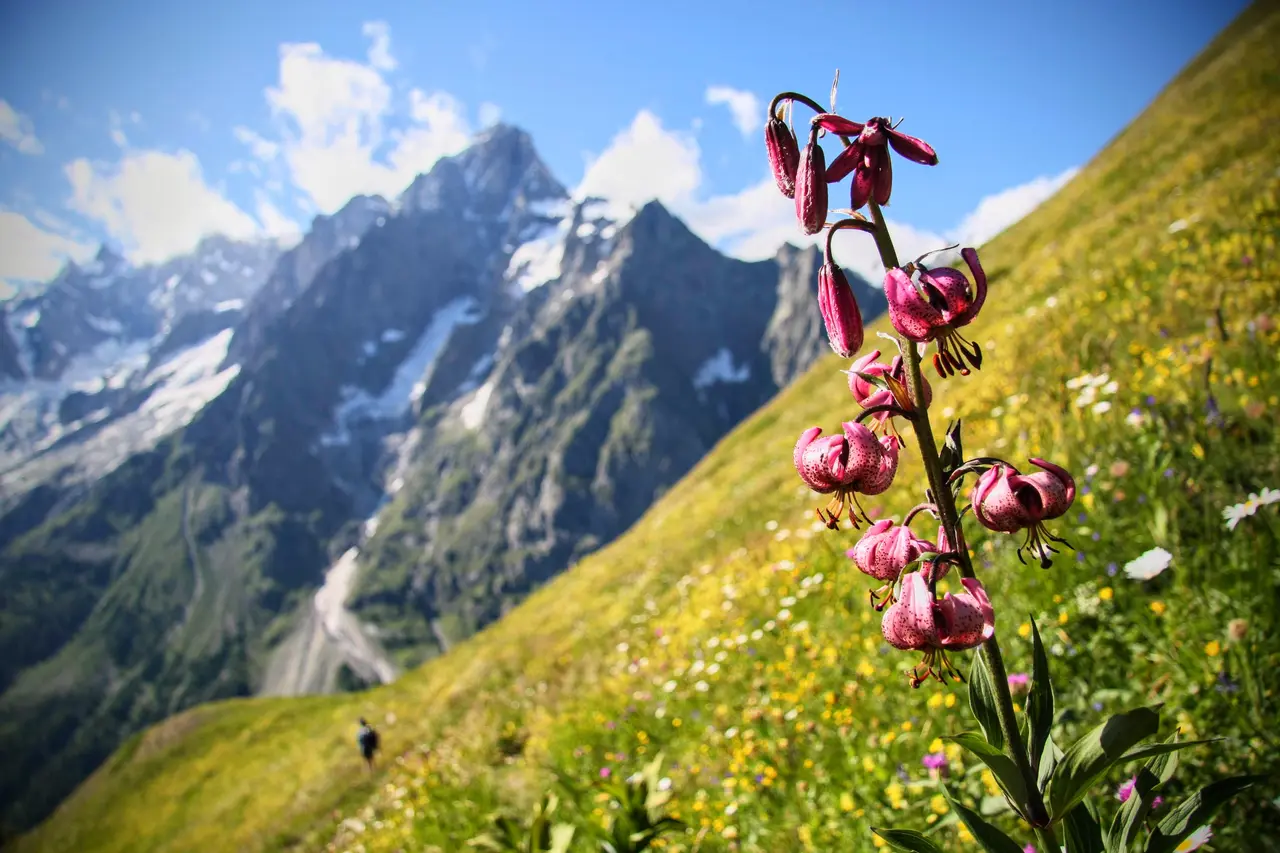
The traditional route up to Rifugio Bertone starts from Courmayeur, but we prefer to start from Plampincieux in Val Ferret, which spares us some height gain and makes possible a loop over the Testa Bernarda and the Testa della Tronche, opposite the Monte Bianco group.
Keep an eye on the closures of the Val Ferret road, usually between 9:00 and 17:00 in July and August, once the car parks are full.
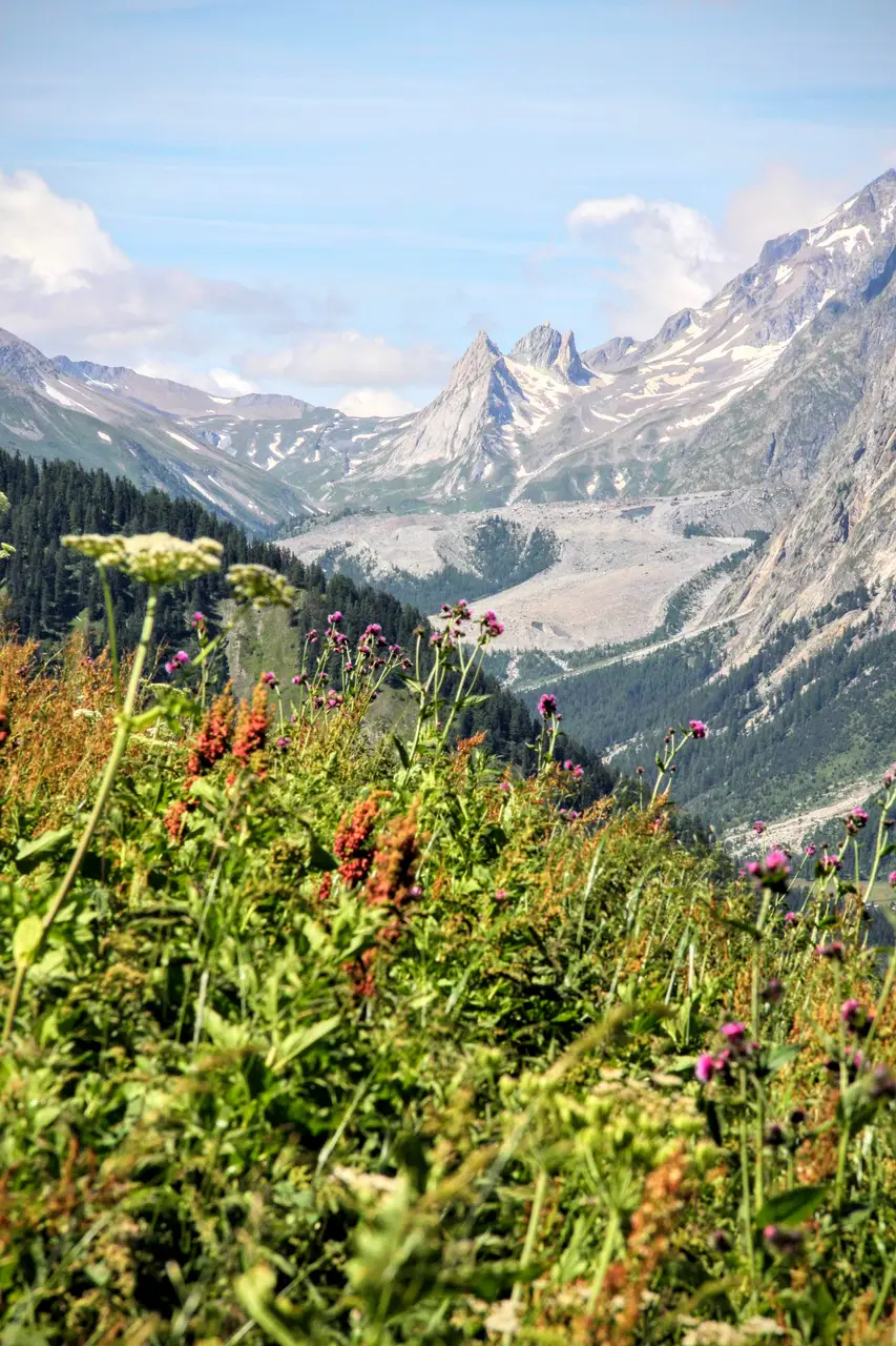
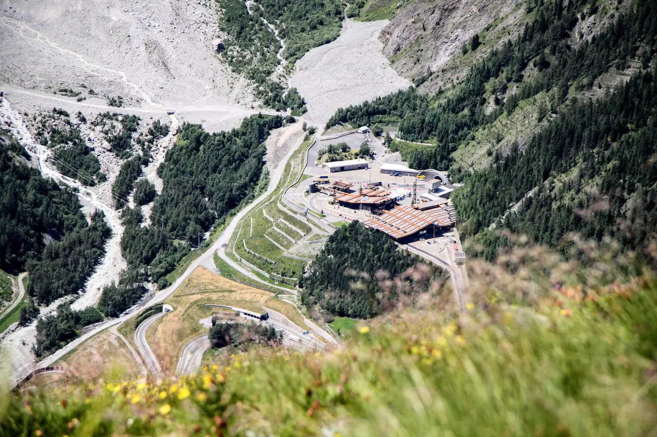
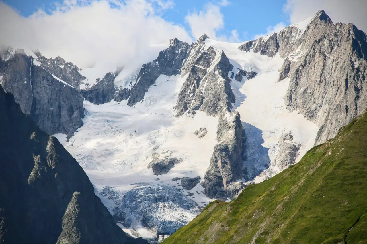
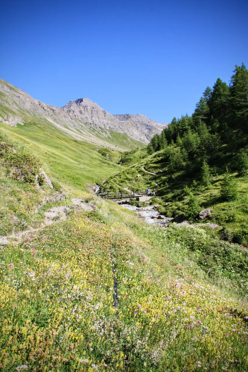
Leaving the car in the "Bertone" car park in Val Ferret (m1616), we cross the Dora di Ferret on a small bridge; we leave the alpine pastures of Neyron on our left and take the path that starts climbing towards the W. The route soon becomes very rewarding for the wide views that open up before our eyes; the "forked tongue" of the Miage Glacier already appears in the distance.
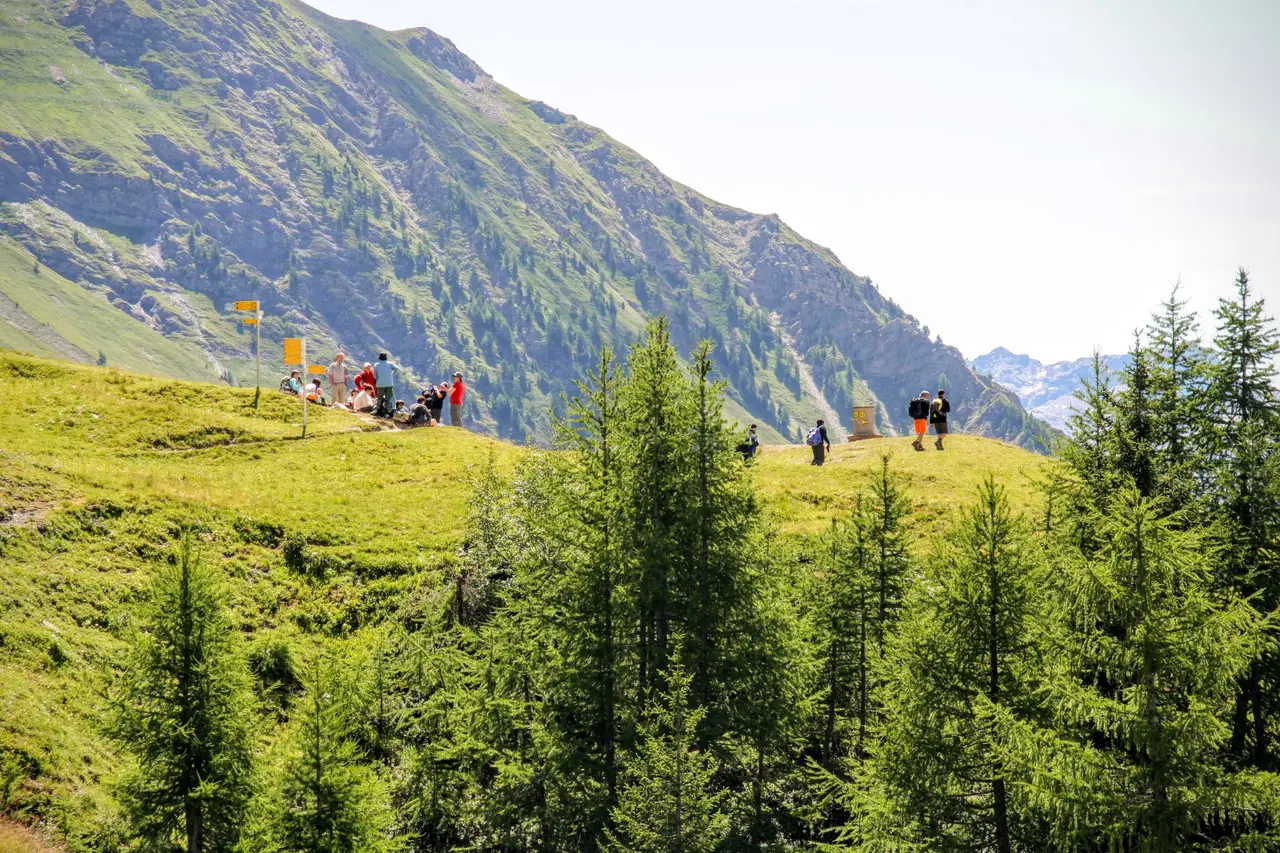
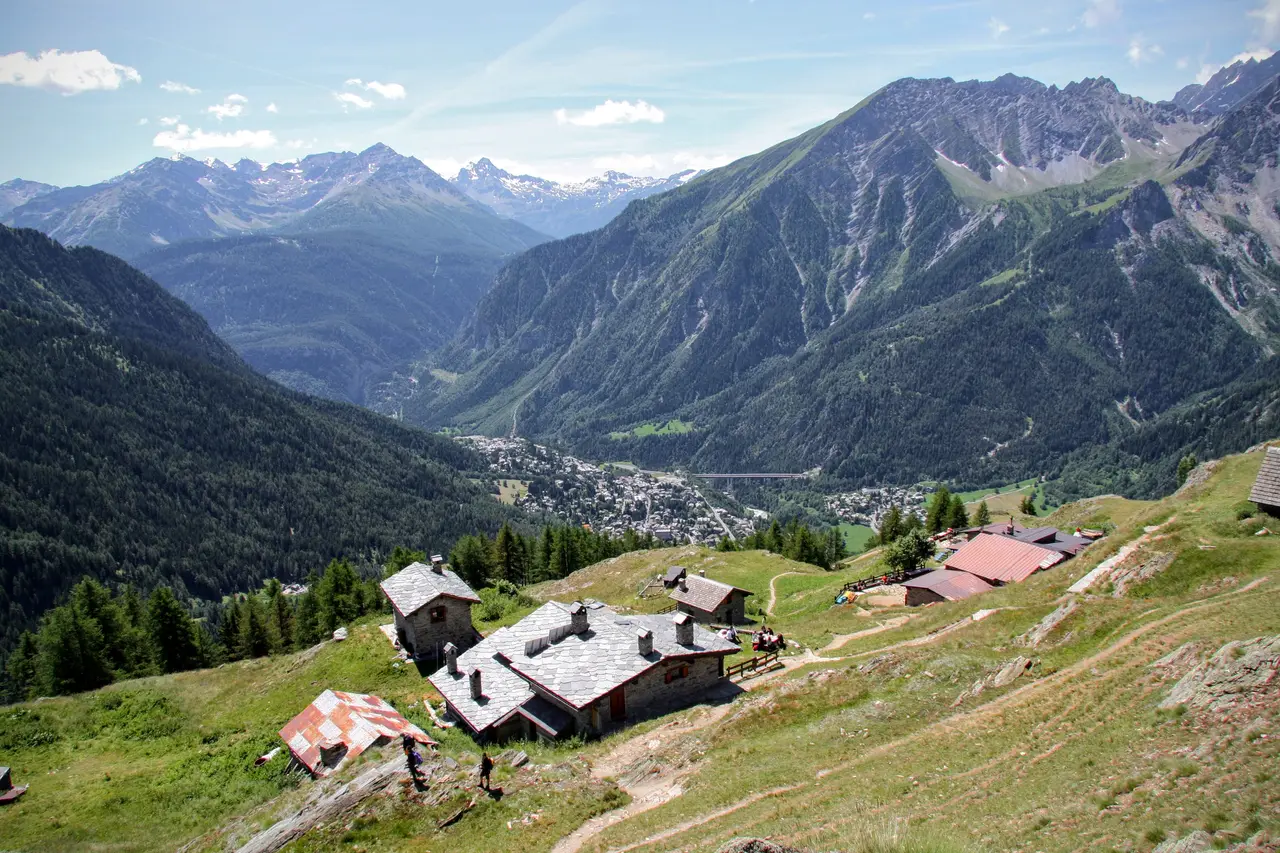
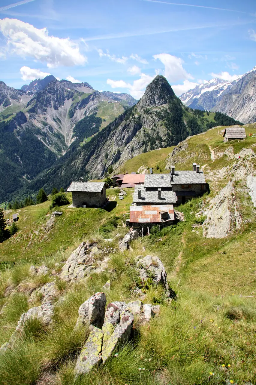
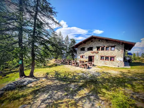
On reaching upper Alpe Leuchè (m1929, 45 minutes), the path stops climbing: on the level, we come to a viewpoint with detailed signposting; Rifugio Bertone and Le Prè are a few metres lower down (m2000, 30 minutes).
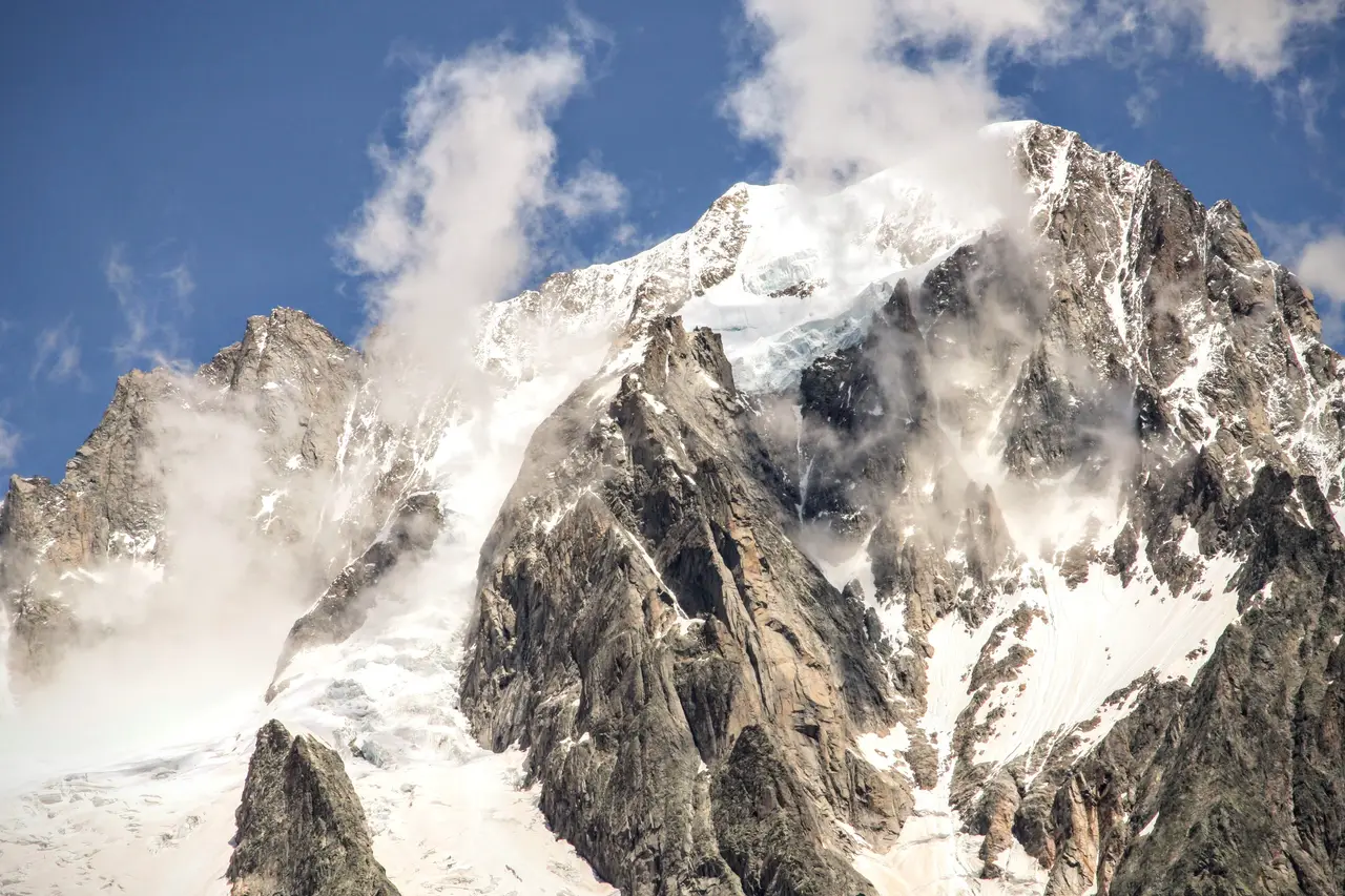
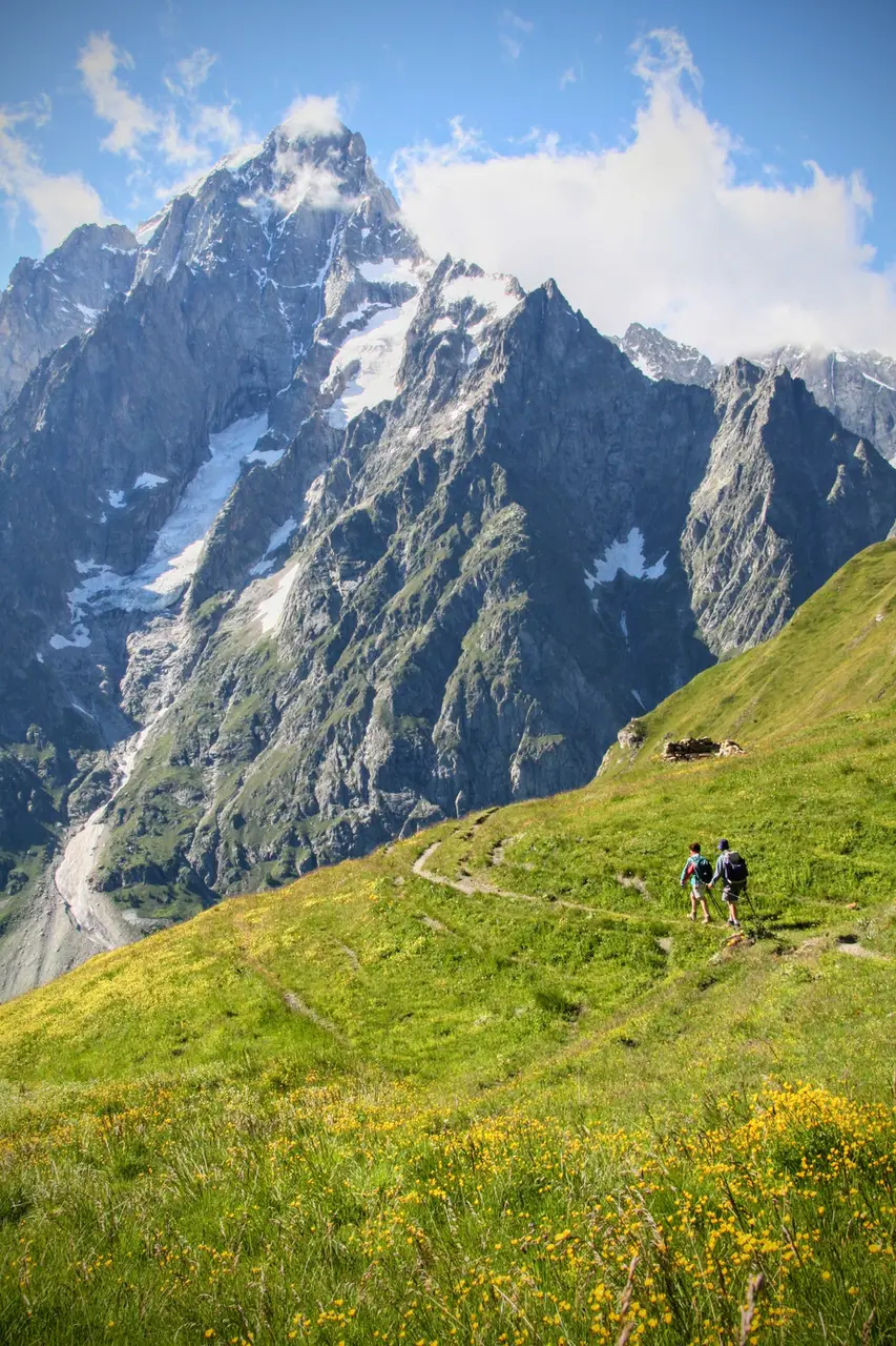
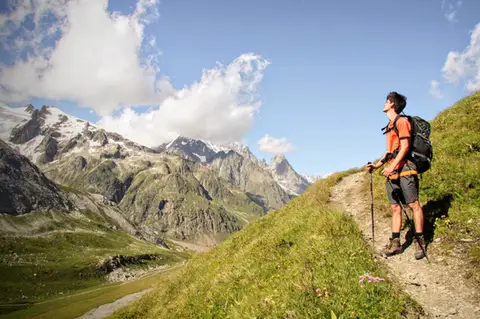
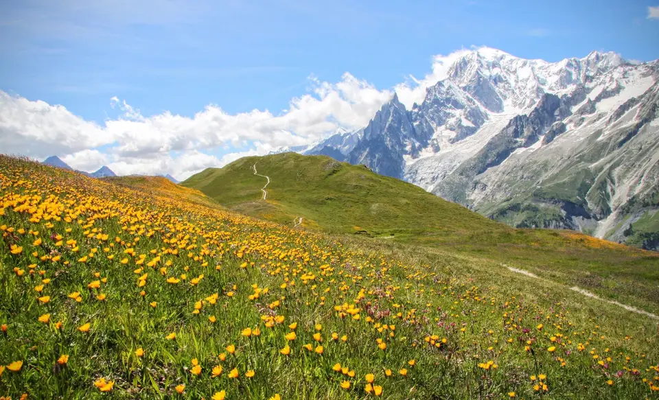
Our route now continues towards the NE: taking the path for the Testa Bernarda and the Col Sapin, we climb steeply up the grassy hump that marks the start of the Mont de la Saxe, a long grassy ridge that culminates in the Testa Bernarda and the Testa della Tronche. We follow it all the way, right to the Testa della Tronche, the highest point of the loop (m2584, 1.45 hours). The view over the eastern part of the Monte Bianco group is exceptional.
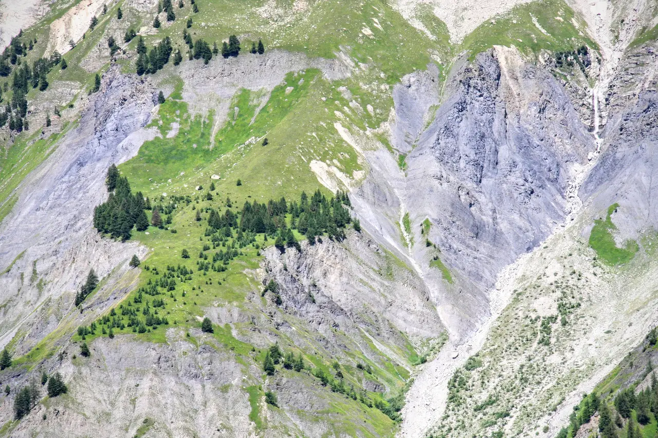
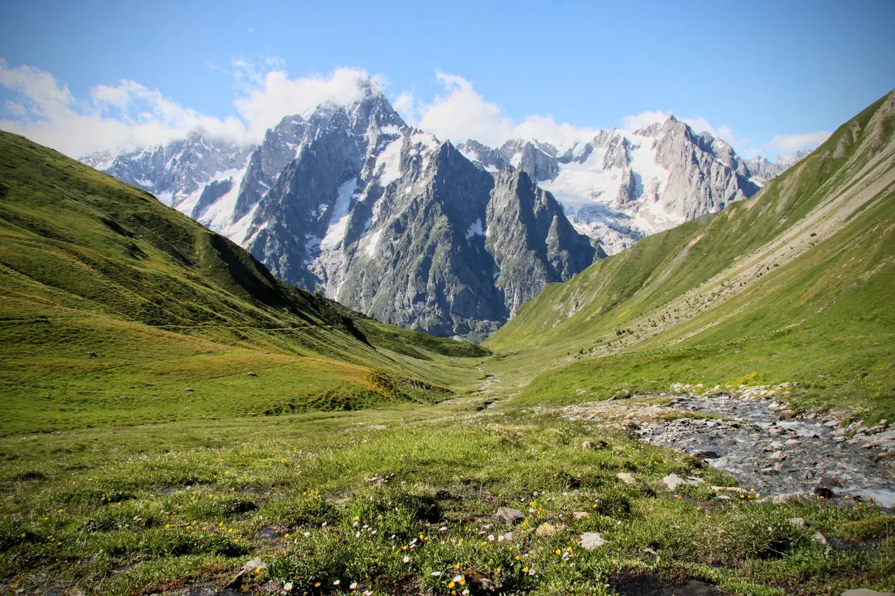
After a well-deserved stop, we descend the south side of the Testa della Tronche and quickly reach the Col Sapin (m2436, 15 minutes), then go down to Alpe di Séchéron (m2260, 20 minutes), in a landscape like a jigsaw puzzle. The green valley in front of us is the perfect frame for the white peaks of the Greuvetta and the Grandes Jorasses. We then continue down through the meadows to Armina (m2009, 30 minutes), where we cross the stream on a small bridge.
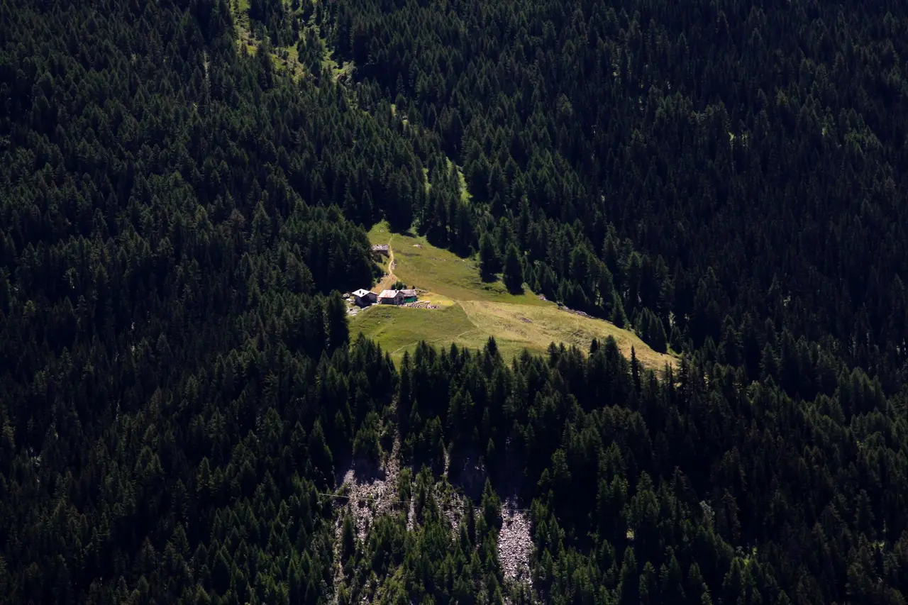
At the barns of La Leche, watch out for the poorly marked path that descends to Plampincieux, branching off from the path that carries straight on towards Rifugio Bertone. Cutting diagonally across the mountainside, we return to the car park (m1616, 1 hour), completing the loop.