A balcony trail is a path that, instead of heading for a summit, runs for a long way at height along the flank of a mountain, with the valley on one side and the peaks on the other. It is perhaps the most generous way to walk in the mountains, because the effort is concentrated in the initial climb, when there is one, and then the view stays with you for hours, changing slowly at every bend. Some, like the one through Daloo and Lagunc in the Valchiavenna, follow mule tracks built to link villages and summer pastures long before any hiker arrived.
The most famous of the group passes Rifugio Firenze and Seceda, at the foot of the Odle walls in Val Gardena, but the others are no lesser. In the Aosta Valley, Rifugio Bertone and the Testa della Tronche face Mont Blanc across the Val Ferret; in the Upper Engadine, the balcony path from Silvaplana to the Maloja Pass runs above the lakes of Silvaplana and Sils; above Montreux, the Rochers de Naye looks out over Lake Geneva. Shorter and quieter are Rifugio Cristina, above the larch woods of Valmalenco, and the balconies of Daloo and Lagunc over the Chiavenna plain, while the Wettersteinwand balcony trail, from Garmisch to Mittenwald, is a traverse of 32 kilometres and twelve hours that calls for good legs and a long day.
Good to know
In German these paths are often called Höhenwege, high trails, and the name is bound up with the history of organised mountaineering. From the second half of the nineteenth century the sections of the Alpine clubs built huts across Tyrol and the rest of Austria and, to reach and connect them, laid out paths that ran for long stretches at height from one hut to the next, so that today almost every Austrian mountain group has its own Höhenweg. The idea has also crossed borders: the Tiroler Höhenweg, for instance, came about through cooperation between the Italian and Austrian Alpine clubs, which joined existing paths and opened new sections to link Tyrol with South Tyrol.
The hikes
By our rating, highest first. Browse them as photographs, as a list with all the numbers or on the map.
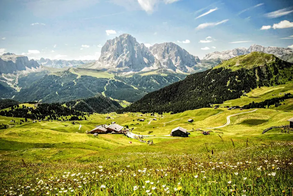
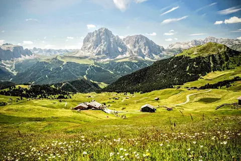 DolomitesRifugio Firenze and Seceda, a balcony on the OdlePerhaps the finest hike in the whole of the Dolomites, set between alpine pastures and vertical walls.
- Grade
- T
- Time
- 5:00h
- Distance
- 15km
- Ascent
- 880m
- Rating
- 10/10
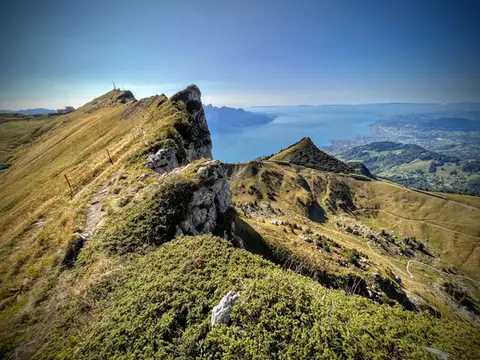 SwitzerlandTo the Rochers de Naye, a balcony over Lake GenevaThe 2000-metre peak closest to Lake Geneva: half green plateau, half vertical rock pinnacle.
- Grade
- E+
- Time
- 4:00h
- Distance
- 10km
- Ascent
- 550m
- Rating
- 9/10
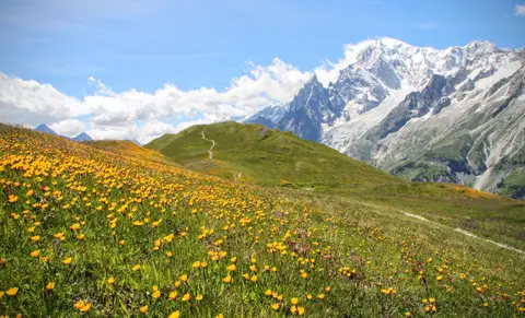 Aosta ValleyRifugio Bertone and Testa della Tronche, a balcony over Monte BiancoIn Val Ferret, on a grassy ridge face to face with the giants of Monte Bianco.
- Grade
- E
- Time
- 6:30h
- Distance
- 16km
- Ascent
- 1,010m
- Rating
- 9/10
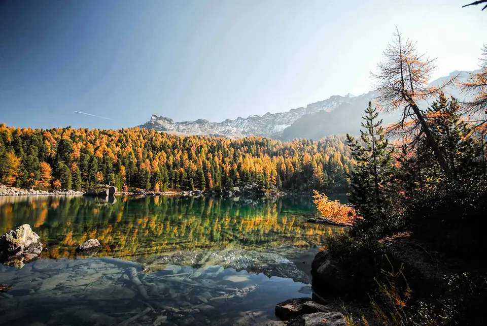
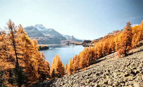 SwitzerlandThe balcony path from Silvaplana to the Maloja PassAn easy balcony path dominated by breathtaking views of Lake Sils and Lake Silvaplana, with the Bernina and the peaks of the Bregaglia in the background.
- Grade
- T
- Time
- 4:00h
- Distance
- 13km
- Ascent
- 470m
- Rating
- 8/10
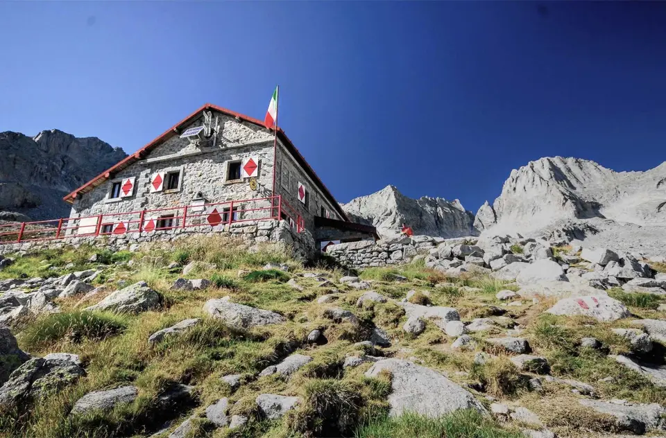
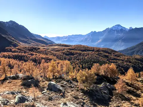 ValtellinaRifugio Cristina, a balcony over the larch woods of the ValmalencoA short walk to Rifugio Cristina at Alpe Prabello, at the foot of Pizzo Scalino.
- Grade
- T
- Time
- 2:00h
- Distance
- 6.5km
- Ascent
- 230m
- Rating
- 8/10
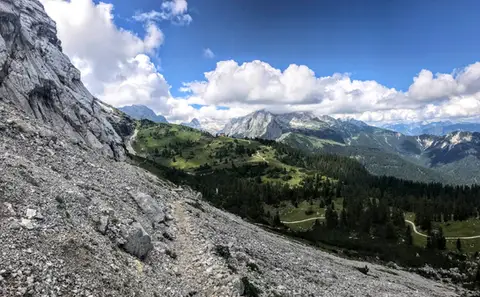 GermanyThe Wettersteinwand balconyFrom Garmisch to Mittenwald, through gorges, Dolomite-like scenery and picture-postcard lakes.
- Grade
- E
- Time
- 12:00h
- Distance
- 32km
- Ascent
- 1,940m
- Rating
- 7/10
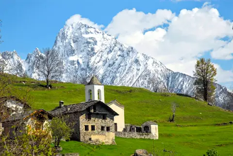 ValchiavennaDaloo and Lagunc, balconies over the ValchiavennaA mule track, a little white church and a unique view over the Piana di Chiavenna.
- Grade
- T
- Time
- 3:00h
- Distance
- 6km
- Ascent
- 650m
- Rating
- 7/10
Questions
The answers come from the hike pages listed here.
Which one is the best, in your view?
Rifugio Firenze and Seceda, a balcony on the Odle, which we rated 10 out of 10.
Which one is the easiest?
Rifugio Cristina, a balcony over the larch woods of the Valmalenco: grade T, 2:00 hours of walking and 230 metres of ascent.
How long do these hikes take?
From 2:00 to 12:00 hours of walking, with ascents between 230 and 1,940 metres.
More guides
Other lists that share some of these hikes.