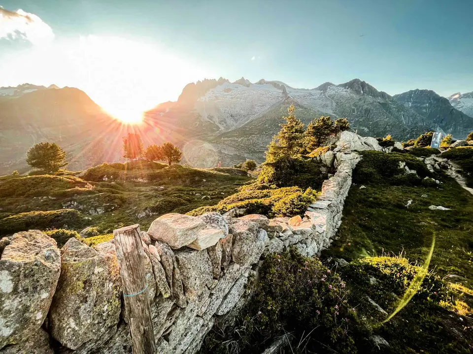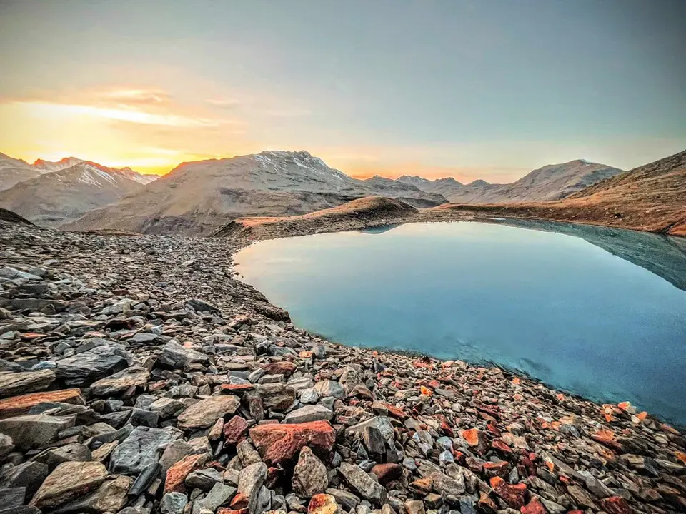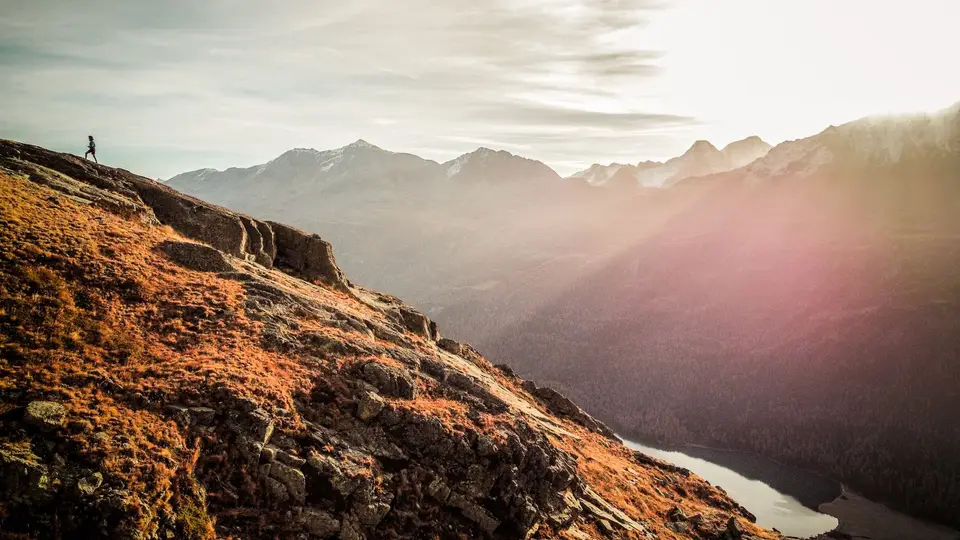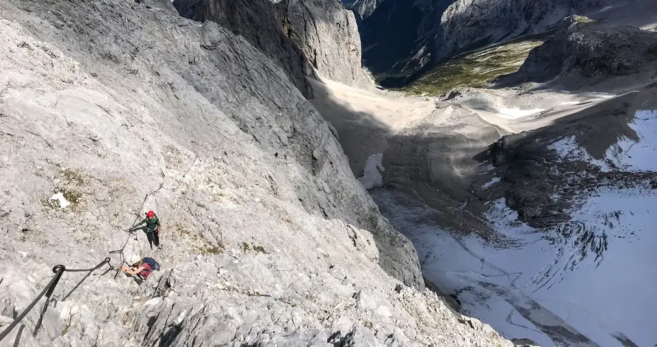
A thousand metres of ascent is a threshold almost every hiker knows, because it is where an outing stops being a demanding walk and becomes a full day in the mountains. At the average rates used to estimate walking times, the climb alone takes more than three hours, to which you add the descent, the breaks and a margin for the unexpected. On this page we have gathered all our hikes that reach or exceed that figure, and among them are some of the most severe and spectacular settings we have described.
Right on the threshold are the Alpe di Siusi to Rifugio Bolzano on the Sciliar and the Sentiero del Tracciolino, both with 1,000 metres, and just above them Rifugio Bertone, the Valasco and Questa huts, the Capanna del Forno, Rifugio Puez, Piz Lunghin and the Rutor valley. Between 1,100 and 1,200 metres are Monte Cornizzolo, Monte Grona with Bregagno, the Strada delle 52 Gallerie on the Pasubio, Monte Fortin in the Val Veny and Lago del Truzzo with Alpe Lendine. Above that you move up a category: Rifugio Gianetti in the Val Masino with 1,480 metres, the ten-lakes loop of Monte Avic with 1,710 over two days, the Wettersteinwand balcony trail with 1,940, the Zugspitze by the Höllental via ferrata with 2,180 and the Cima Brenta circuit from Molveno, which adds up to 2,390 metres over two days.
Good to know
Preparing for a thousand metres does not call for an athlete's programme, just a little method. The German Alpine Club's rule of thumb puts an average hiker at 300 metres of ascent and 500 of descent per hour, and that alone shows why it pays to build up to it: if you have done a few outings of 500 or 700 metres in the preceding weeks, you know how your legs respond, above all on the way down, which is often where tiredness makes itself felt. The Sicuri in Montagna campaign, run by Italian mountain rescue with the Italian Alpine Club, also points out that fitness, the difficulty of the route, changes in the weather and crowding can all stretch the expected times.
For the same reason, these hikes are best started early. In summer thunderstorms form more often in the afternoon, and a thousand-metre climb begun in mid-morning risks reaching the ridge at exactly the worst hours; setting off early, with the forecast read the evening before, is the simplest advice there is, and also the cheapest.
The hikes
By our rating, highest first. Browse them as photographs, as a list with all the numbers or on the map.
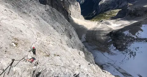 GermanyZugspitze Via Ferrata / Klettersteig10 hours of walking, 4 of them on via ferrata, and over 2200 metres of ascent, to reach the highest peak in Germany.
- Grade
- B/C
- Time
- 7:30h
- Distance
- 11km
- Ascent
- 2,180m
- Rating
- 10/10
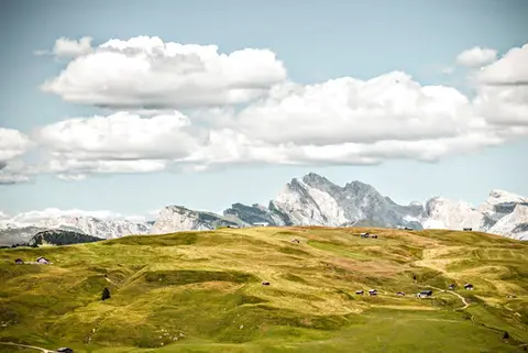 DolomitesFrom the Alpe di Siusi to Rifugio Bolzano on the SciliarA stroll across the high plateaus of the Alpe di Siusi and the Sciliar, among the most famous in the Dolomites.
- Grade
- T
- Time
- 7:00h
- Distance
- 21km
- Ascent
- 1,000m
- Rating
- 9/10
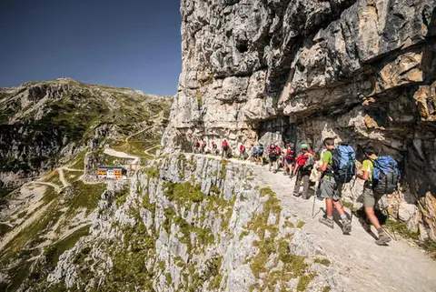 DolomitesThe Strada delle 52 Gallerie on the PasubioA visit to Rifugio Achille Papa and the Zona Sacra del Pasubio, by way of the spectacular Strada delle 52 Gallerie
- Grade
- E
- Time
- 7:00h
- Distance
- 17km
- Ascent
- 1,130m
- Rating
- 9/10
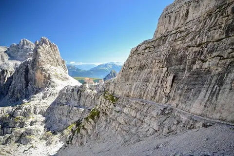 DolomitesCima Brenta tour from Molveno (2 days)A two-day loop to discover the remarkable high balcony of the Brenta Dolomites.
- Grade
- E
- Time
- 14:00h
- Distance
- 33km
- Ascent
- 2,390m
- Rating
- 9/10
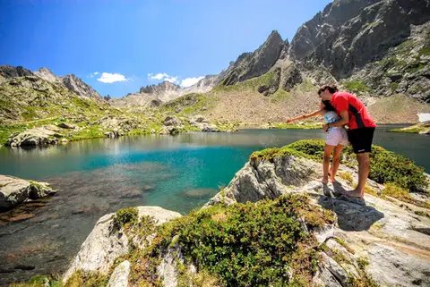 PiedmontRifugio Valasco, Rifugio Questa and the military mule tracks of ValscuraIn the upper Valle Gesso: remarkable military roads, the crystal-clear lakes of Valscura and Claus, and two historic mountain huts.
- Grade
- E
- Time
- 7:00h
- Distance
- 20km
- Ascent
- 1,020m
- Rating
- 9/10
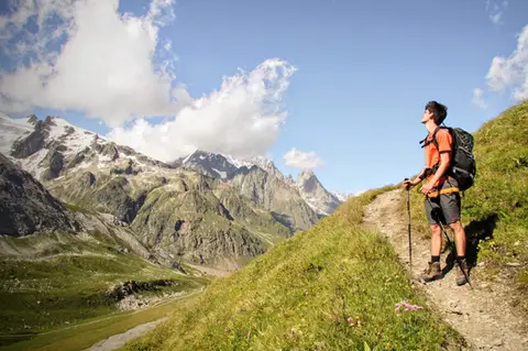 Aosta ValleyMonte Fortin and Rifugio Elisabetta Soldini in Val VenyA sensational viewing terrace over Monte Bianco and the Himalayan-looking Miage Glacier.
- Grade
- E
- Time
- 7:30h
- Distance
- 21km
- Ascent
- 1,190m
- Rating
- 9/10
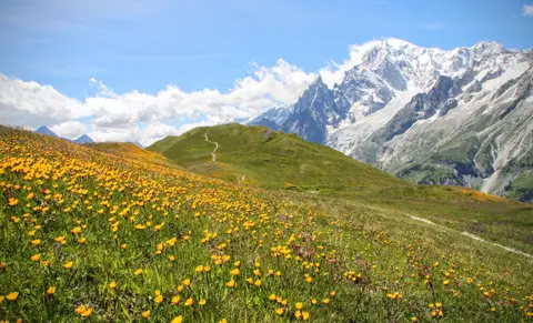 Aosta ValleyRifugio Bertone and Testa della Tronche, a balcony over Monte BiancoIn Val Ferret, on a grassy ridge face to face with the giants of Monte Bianco.
- Grade
- E
- Time
- 6:30h
- Distance
- 16km
- Ascent
- 1,010m
- Rating
- 9/10
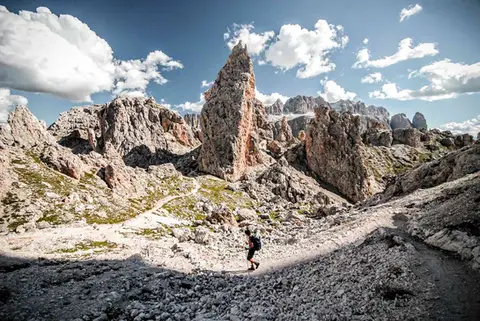 DolomitesRifugio Puez and the Val Longia loopA loop hike along a balcony overlooking the gorge of the Val Longia.
- Grade
- E
- Time
- 6:30h
- Distance
- 16km
- Ascent
- 1,030m
- Rating
- 8/10
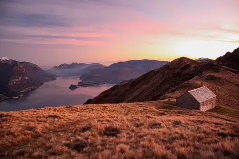 Lake ComoMonte Grona and Monte BregagnoAlong the grassy ridge between Monte Grona and Bregagno, face to face with Lake Como.
- Grade
- E
- Time
- 6:00h
- Distance
- 13km
- Ascent
- 1,120m
- Rating
- 8/10
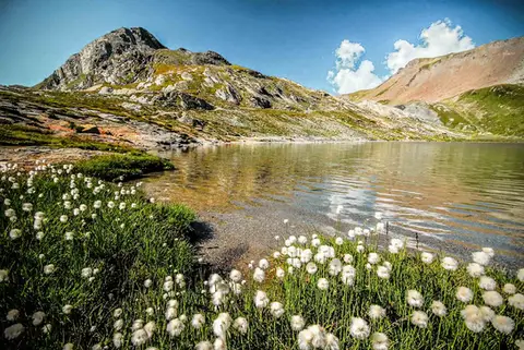 SwitzerlandLago Lunghin and Piz LunghinA lake, a peak and a pass, all sharing a breathtaking view over the Bernina group and the Lago di Sils.
- Grade
- E
- Time
- 6:30h
- Distance
- 16km
- Ascent
- 1,030m
- Rating
- 8/10
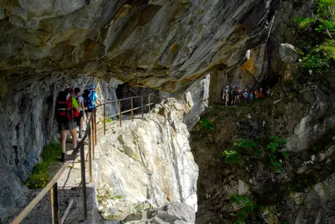 ValchiavennaThe Sentiero del TracciolinoThe Sentiero del Tracciolino: 10km of galleries and tunnels between San Giorgio (Val Codera) and the Val dei Ratti.
- Grade
- E
- Time
- 6:00h
- Distance
- 15km
- Ascent
- 1,000m
- Rating
- 8/10
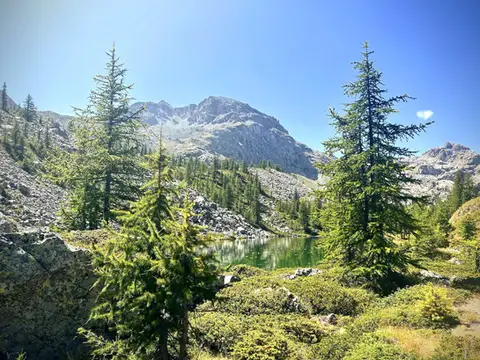 Aosta ValleyThe Monte Avic 10-lake loop (2 days)10 lakes, 3 mountain huts and a 3000-metre peak. A long 27km loop in the Monte Avic Natural Park, almost entirely in stern alpine terrain between 2000 and 3000 metres.
- Grade
- E+
- Time
- 12:00h
- Distance
- 27km
- Ascent
- 1,710m
- Rating
- 8/10
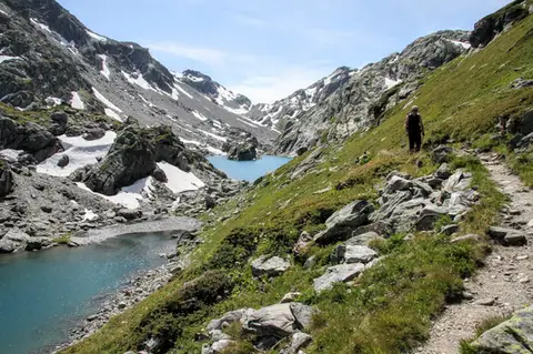 Aosta ValleyLakes, glaciers and waterfalls in the Valle del RutorA hike to Rifugio Deffeyes past the Rutor Falls, face to face with the Rutor Glacier.
- Grade
- E
- Time
- 7:30h
- Distance
- 20km
- Ascent
- 1,070m
- Rating
- 8/10
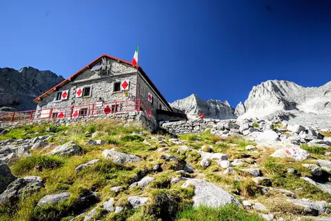 ValtellinaRifugio Gianetti in Val MasinoAn essential stop in the mountains of Lombardy, face to face with the granite giants of Val Masino.
- Grade
- E/EE
- Time
- 7:30h
- Distance
- 15km
- Ascent
- 1,480m
- Rating
- 8/10
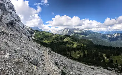 GermanyThe Wettersteinwand balconyFrom Garmisch to Mittenwald, through gorges, Dolomite-like scenery and picture-postcard lakes.
- Grade
- E
- Time
- 12:00h
- Distance
- 32km
- Ascent
- 1,940m
- Rating
- 7/10
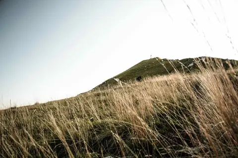 Lake ComoTo Monte Cornizzolo by way of San Pietro al MonteOne of the most panoramic summits of the Triangolo Lariano, by way of a Romanesque abbey.
- Grade
- E
- Time
- 5:00h
- Distance
- 11km
- Ascent
- 1,110m
- Rating
- 7/10
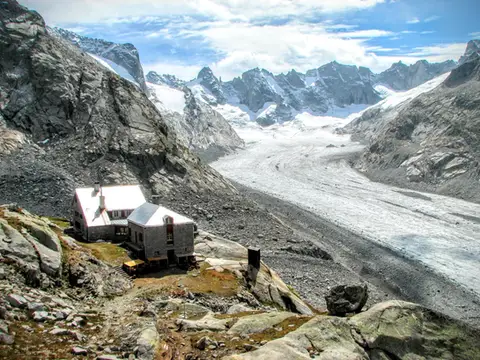 SwitzerlandCapanna del Forno and the Forno GlacierA long walk up the Valle del Forno, repaid with views worthy of Patagonia.
- Grade
- EE
- Time
- 8:00h
- Distance
- 21km
- Ascent
- 1,020m
- Rating
- 7/10
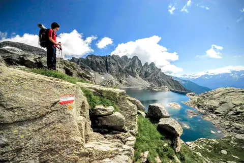 ValchiavennaTour from Lago del Truzzo to Alpe LendineA long loop that takes in all the most magical spots of the remote Valle del Drogo, a side valley of the Valle Spluga.
- Grade
- EE
- Time
- 7:00h
- Distance
- 17km
- Ascent
- 1,190m
- Rating
- 7/10
Questions
The answers come from the hike pages listed here.
Which one is the best, in your view?
Zugspitze Via Ferrata / Klettersteig, which we rated 10 out of 10.
Which one is the easiest?
From the Alpe di Siusi to Rifugio Bolzano on the Sciliar: grade T, 7:00 hours of walking and 1,000 metres of ascent.
How long do these hikes take?
From 5:00 to 14:00 hours of walking, with ascents between 1,000 and 2,390 metres.
More guides
Other lists that share some of these hikes.