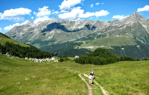
The Valle del Drogo, a crescent-shaped hollow that joins the Valle Spluga at San Giacomo Filippo, holds a few hiking gems not to be missed, such as the elegant mule track that climbs to Lago del Truzzo, or Alpe Lendine, a picturesque high-altitude village fanned out in the shadow of the Pizzaccio. The hike described here is a fairly long loop that takes in all the most charming corners of this small valley. If we think we cannot manage it in a single day, the loop can be split into two separate hikes.
From Chiavenna we drive up the SS36; at the entrance to San Giacomo Filippo we leave it, taking a narrow tarmac road on the left which, cutting some twenty hairpins into the mountainside, brings us to the houses of Olmo, neatly arranged on a fine grassy shoulder. We carry on along the road, descending gently to the floor of the Valle del Drogo; after the bridge over the stream we stop in the car park of the large San Bernardo hydroelectric power station (m1070).
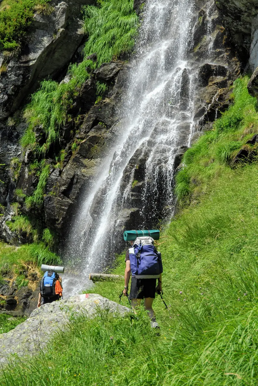
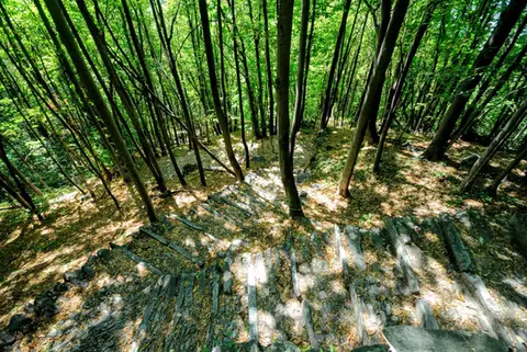
We set off straight away on the mule track; walking among the trees, not far from the stream, we have time to reflect on the name of this valley: "drogo" means a stream bed sunk deep between rocks, it can be a synonym for gorge, and it tells us that the valley, especially in the stretch we have just climbed steeply by car, is rugged and harsh, carved deep by its many watercourses. As we climb, though, the valley opens out, the woods thin, and the paving, curving to the right, meets at Sant'Antonio the mule track coming up from Scanabecco, another possible starting point.
It is a pleasant walk among these old houses scattered along the valley floor, full of life in the summer months, when many families come up to find a little respite from the summer heat. Further on, at Caurga (m1294, 1 hour), we find a junction signposted for Rifugio Carlo Emilio; we turn right and begin the climb to Lago del Truzzo, which will take us a couple of hours.
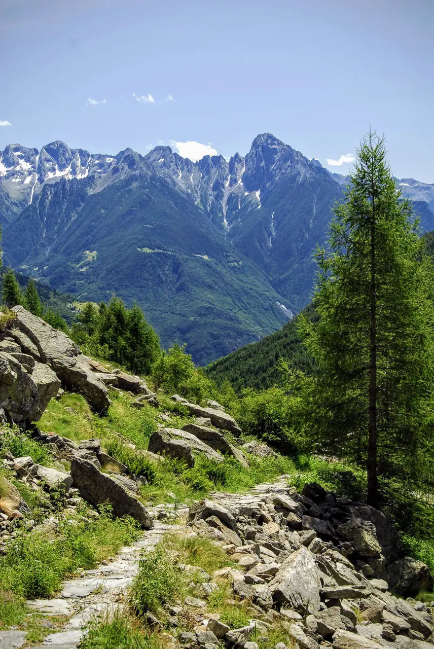
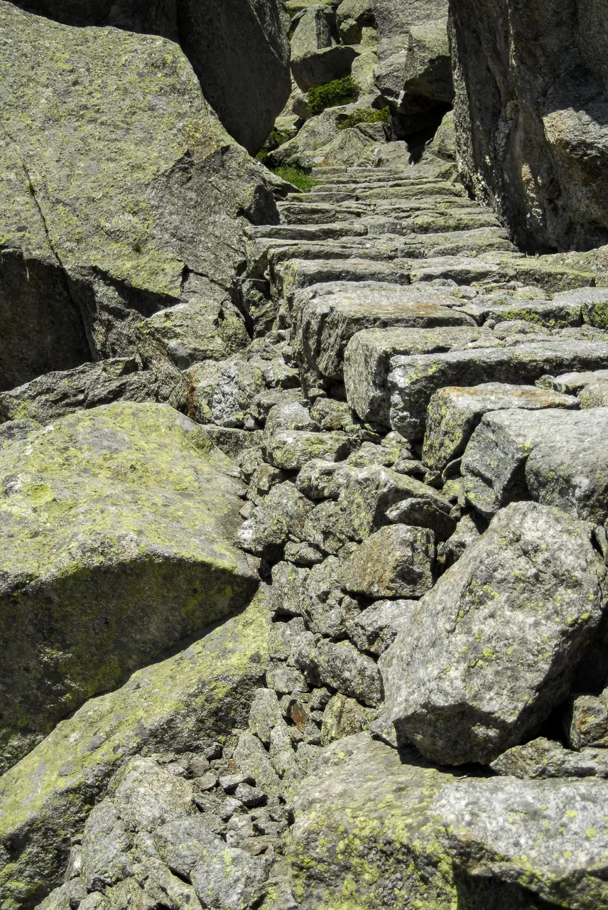
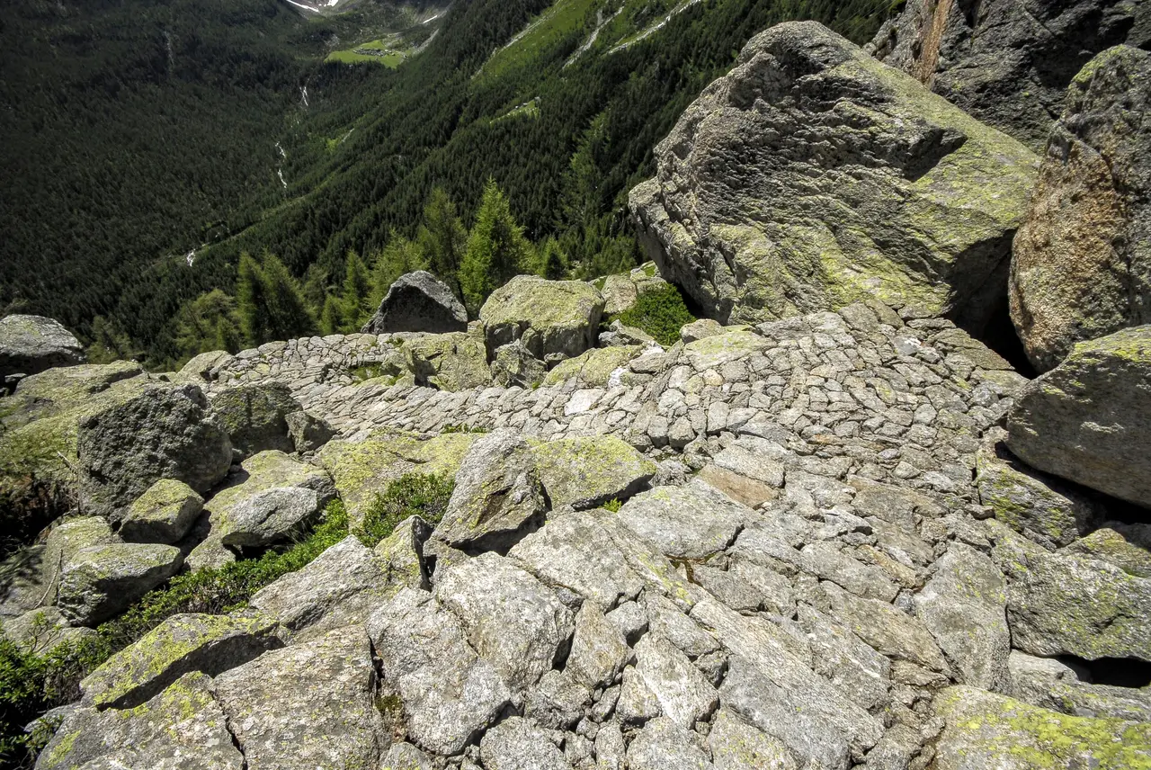
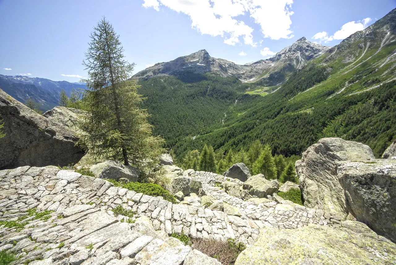
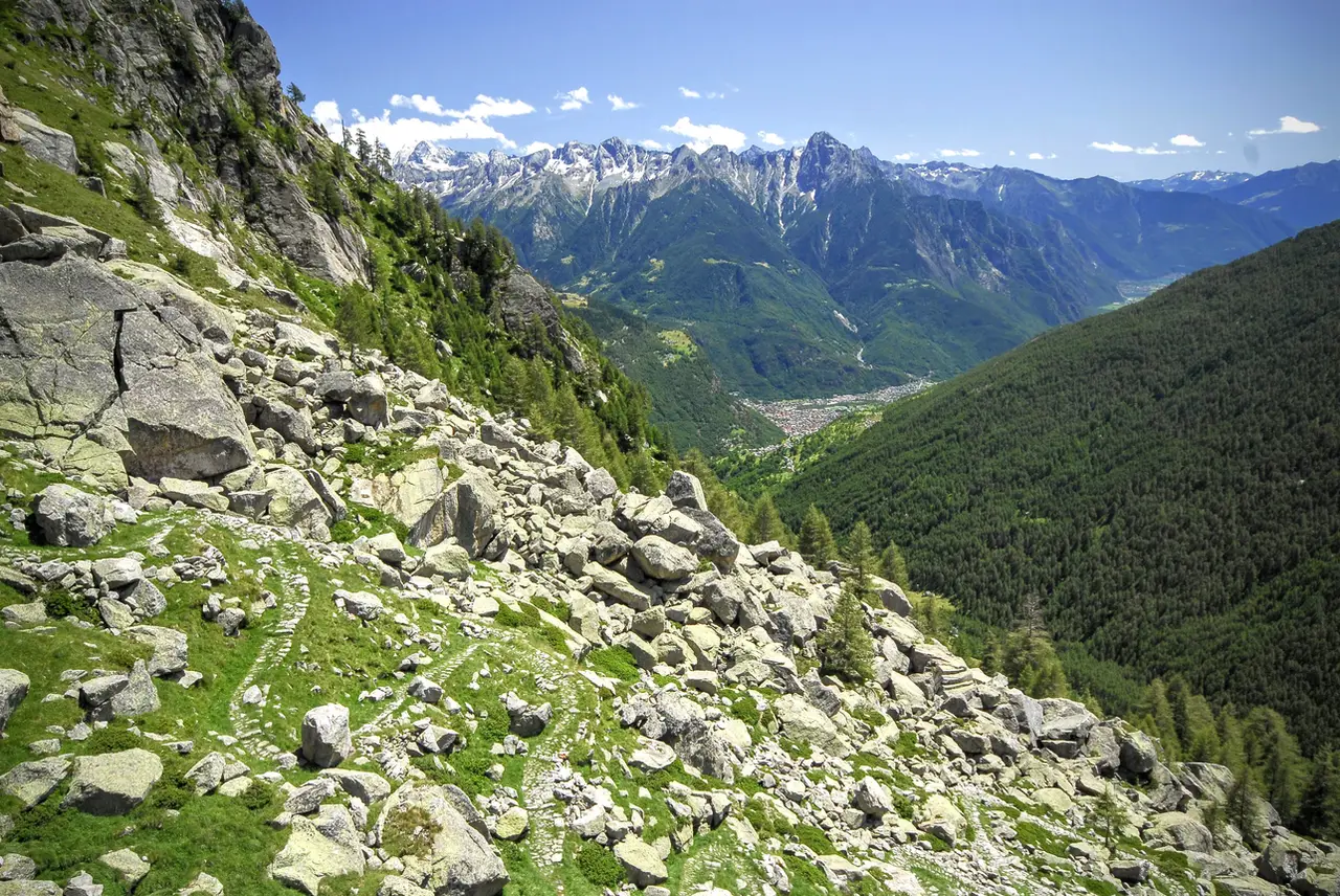
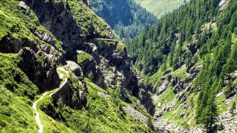
The paved track climbs at first at a moderate gradient, half hidden by the grass, then more decisively to get past the austere rocky buttresses that hold up the Truzzo basin. Along the way we are distracted by the views slowly opening up towards the bottom of the valley, by the ever-changing vegetation and by the mule track itself, which seems to grow more beautiful and more precise at every bend. But it is only once we are out of the woods, at around 1750 metres, that we walk the most spectacular stretch of paving: here the stones are skilfully laid like a mosaic, fitted together so perfectly that they have withstood for decades the destructive force of the weather and the passage of people and animals. A few rhododendrons growing between the tight bends complete the composition. Contrary to what one might think, however, this mule track is not ancient: its construction is linked to the hydroelectric exploitation of the valley, so it dates back only to the early 1920s.
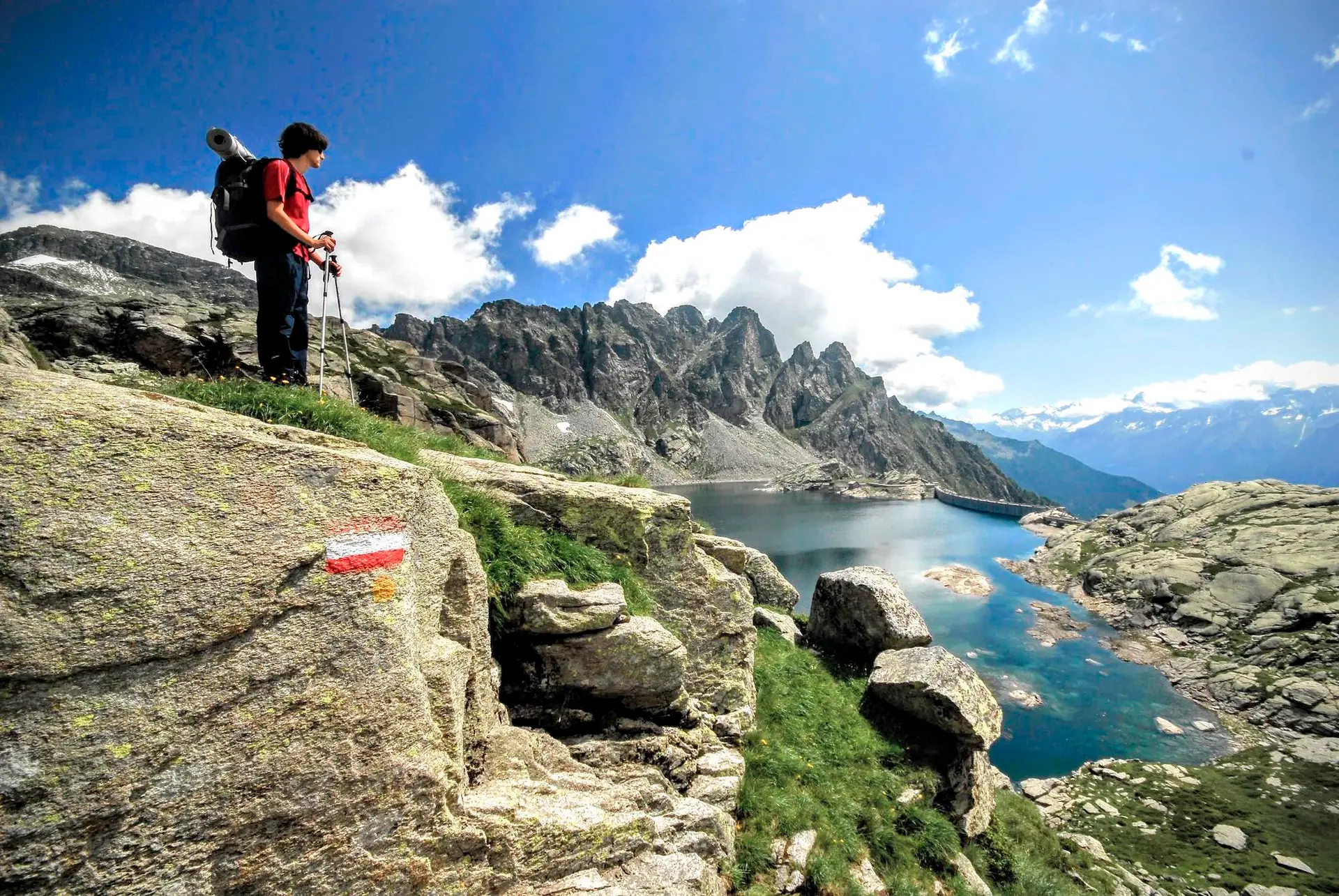
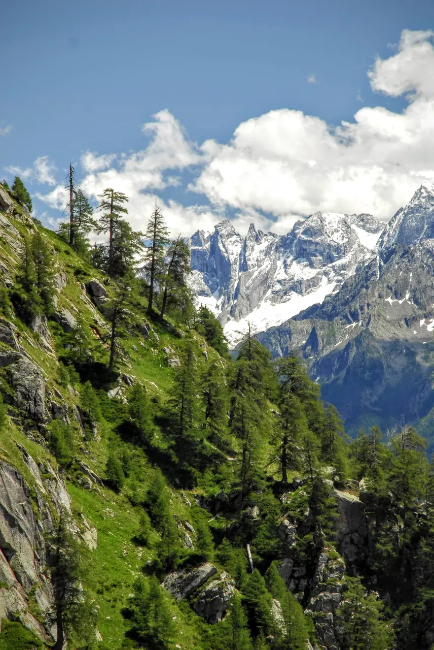
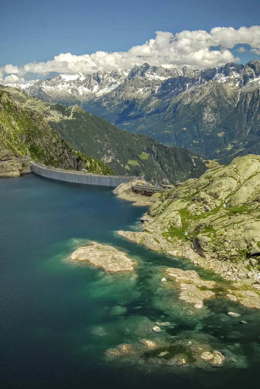
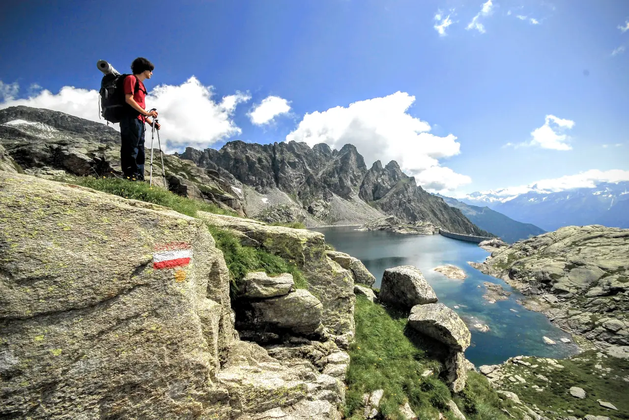
Climbing at a steady gradient, still weaving between smooth rocky ledges worn down by ancient glaciers, we reach the lovely Alpe Cornera (m1920, 2 hours), then, a little higher, the massive buildings of the dam keepers; from here a long flight of steps takes us up to the Truzzo dam (m2080, 20 minutes). The views of the imposing Pizzo di Prata, the Sciora, the Badile and the Cengalo are every bit as beautiful as Lago del Truzzo itself, which stretches out behind us, crowned on the right by the towers of the Camoscere. The dam, quite modest in size and faced with local stone, is unobtrusive and seems to blend into its natural surroundings.
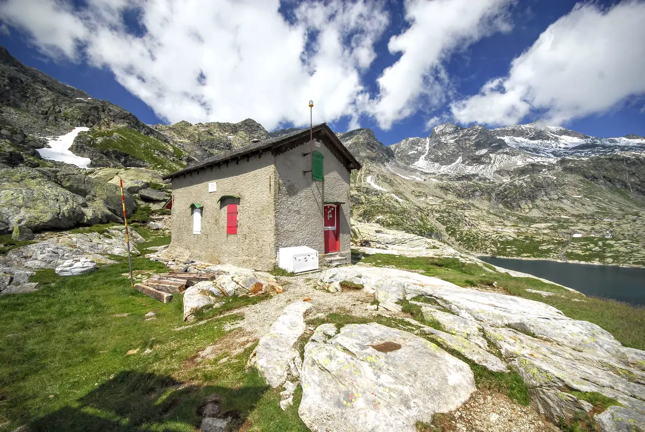
The path to Alpe Lendine does not start from the dam but a little higher up, along the path to Rifugio Carlo Emilio, which is worth a short visit. We reach it by crossing the dam and climbing a little, now on a simple path, up the slopes on the western shore of the lake, whose incredible clarity we can enjoy along the way. The small hut (m2153, 20 minutes) is unstaffed (the keys can be collected from the dam keepers) and stands on the shore of Lago Nero, a pretty sheet of water held back by low concrete walls.
On the way back we need to watch out for the junction for Alpe Lendine: the little path reaches a saddle on the level, beyond which it plunges headlong down the rocky ledges we climbed in the morning along the mule track. The trail is sometimes hard to see and often has us stumbling over awkward boulder fields, but cairns and the CAI's red and white waymarks keep us good company.
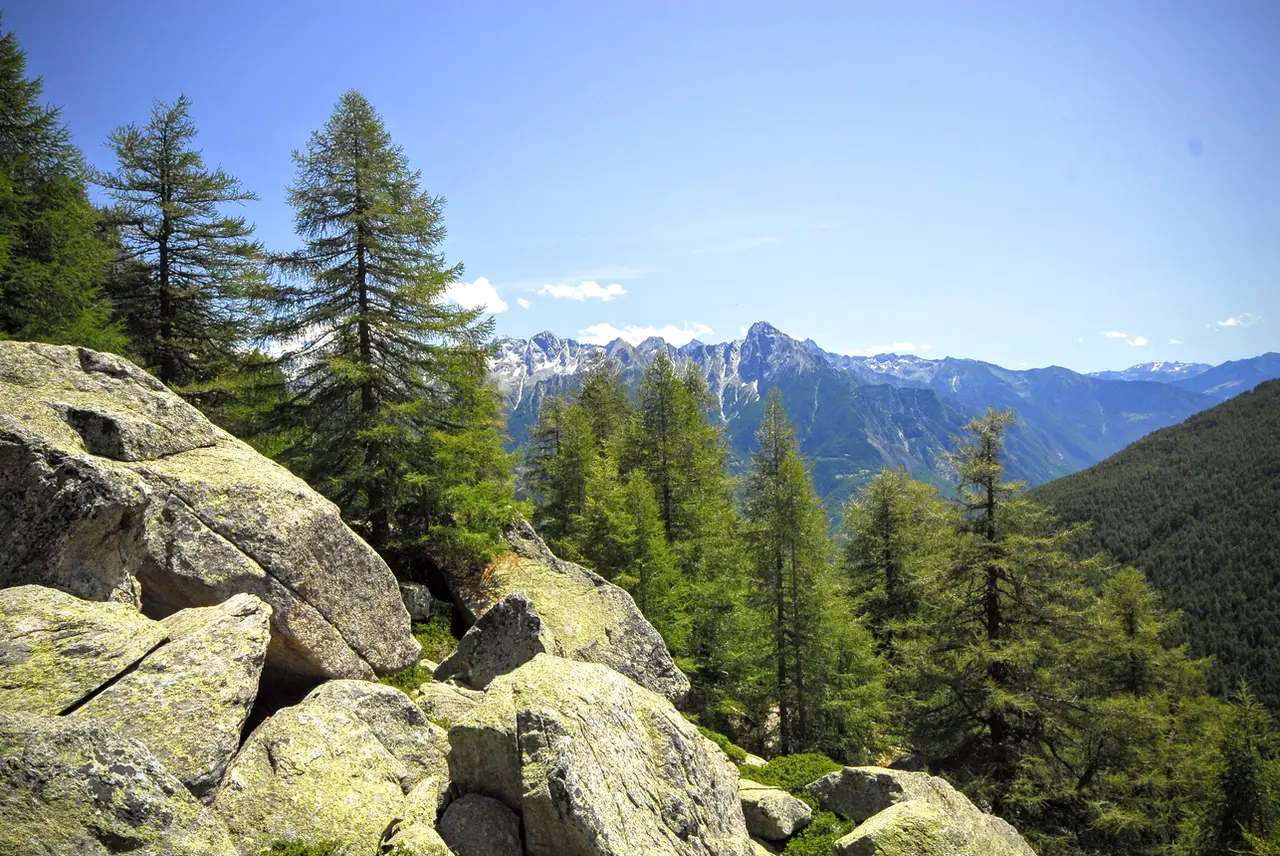
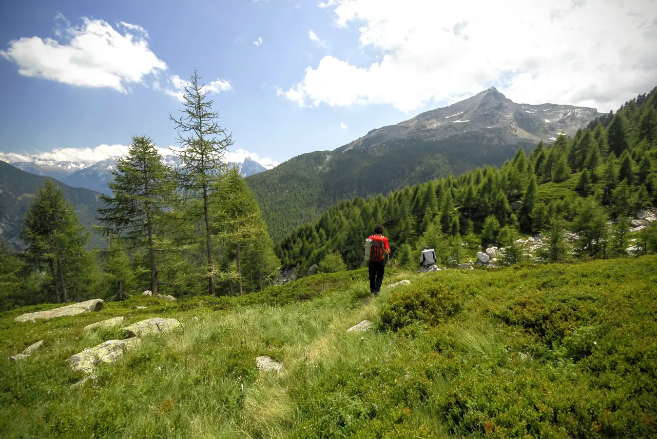
Once we are down to about 1700 metres (which happens to be the altitude of Alpe Lendine), the gradient eases dramatically and the path contours across the slope through a lovely conifer forest; the trail, which overlooks the drop, is rather narrow, and the tall grass tends to narrow it further. It is with some relief that we reach the meadows of Sambuco (m1690, 1.30 hours), where our feet can walk in complete safety. From here to Alpe Lendine is now less than an hour, and a pleasant one at that, spent in deep green conifer woods.
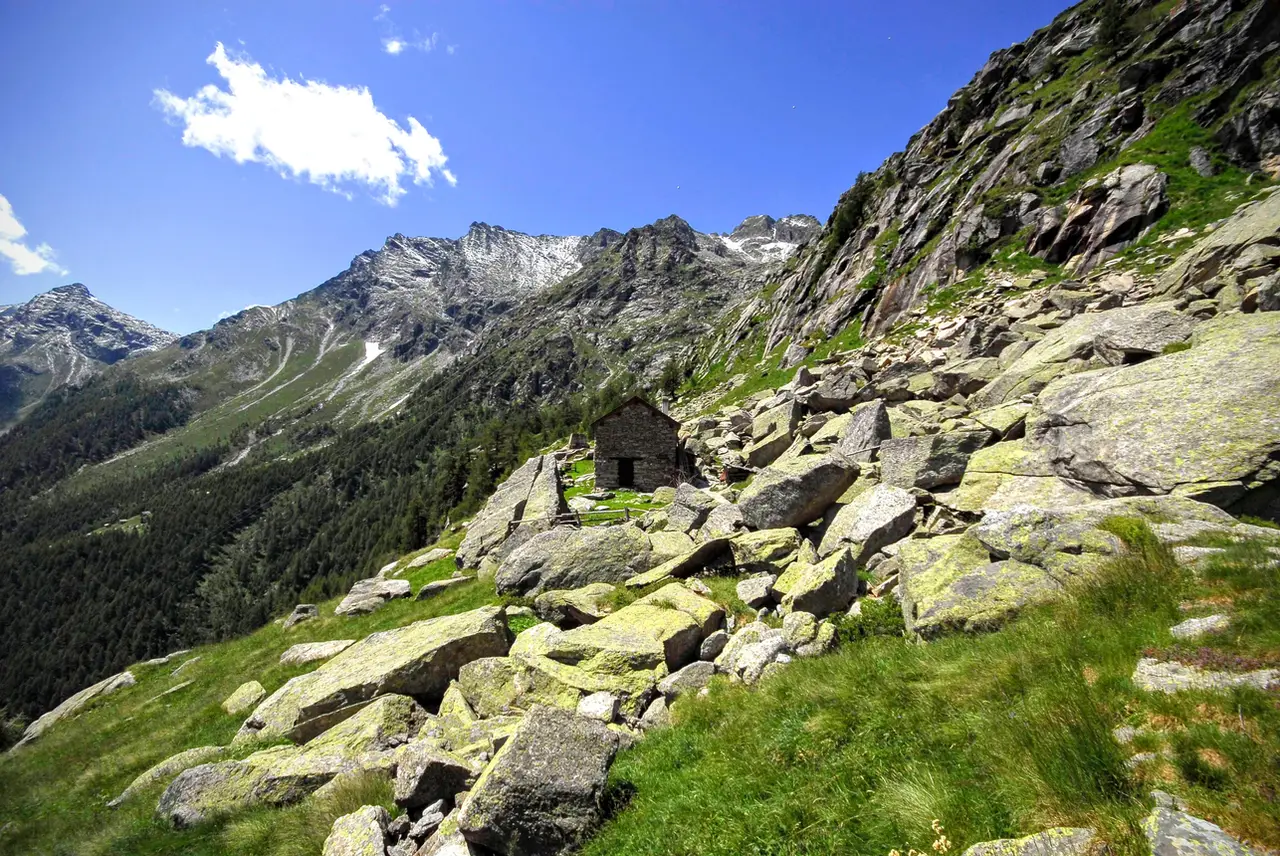
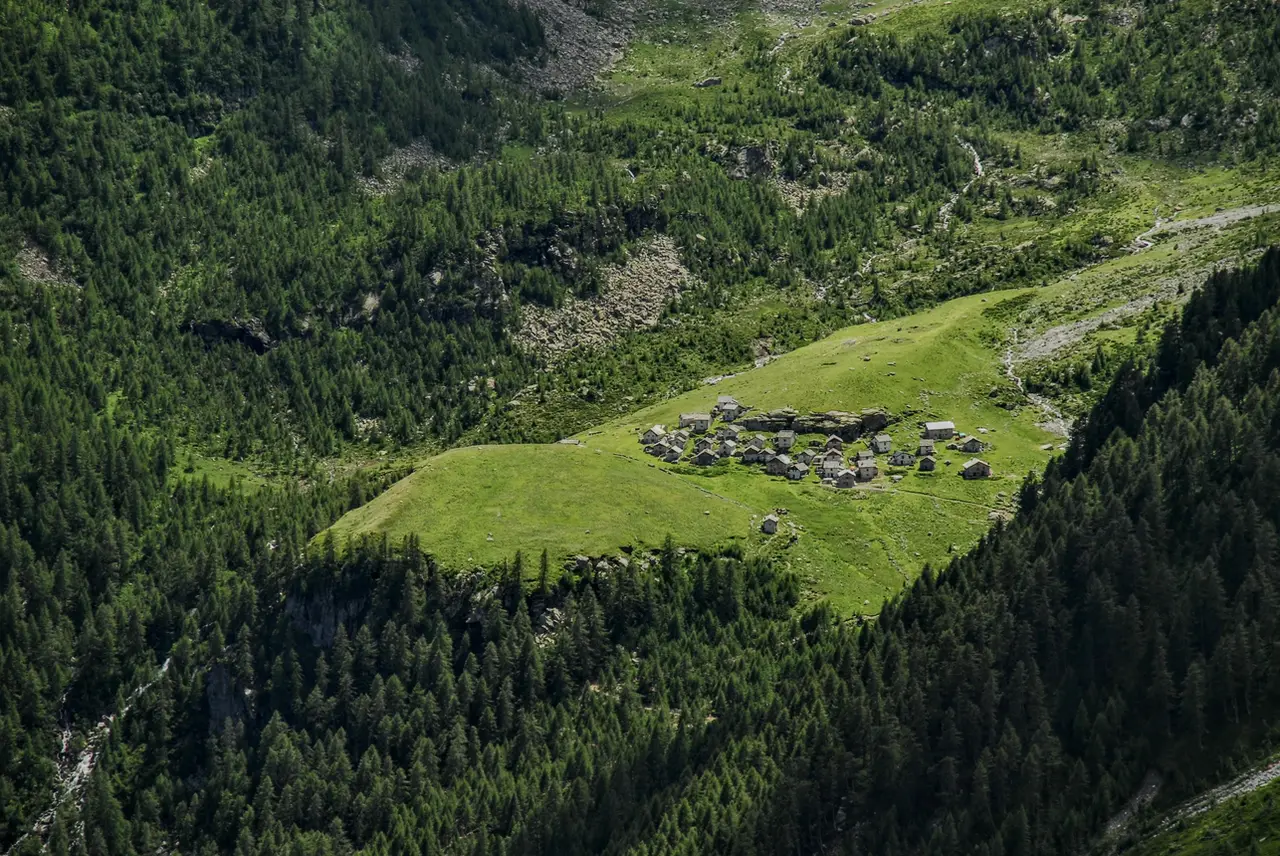
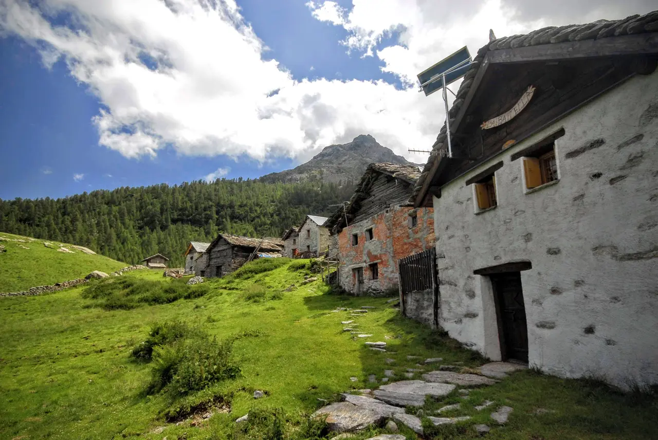
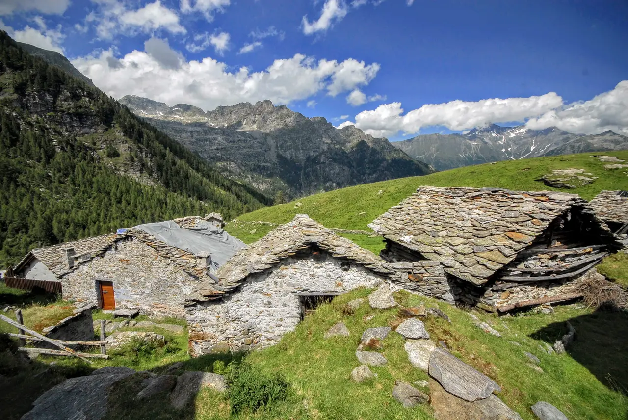
Alpe Lendine (m1710, 45 minutes) is a remarkably well-kept and elegant high-altitude village, dominated by the towering pyramid of the Pizzaccio; the alp takes on an even more astonishing magic in the winter months, when tonnes of snow weigh on the roofs of the huts and cover the meadows evenly, hiding the weeds, the litter and the signs of abandonment as well.
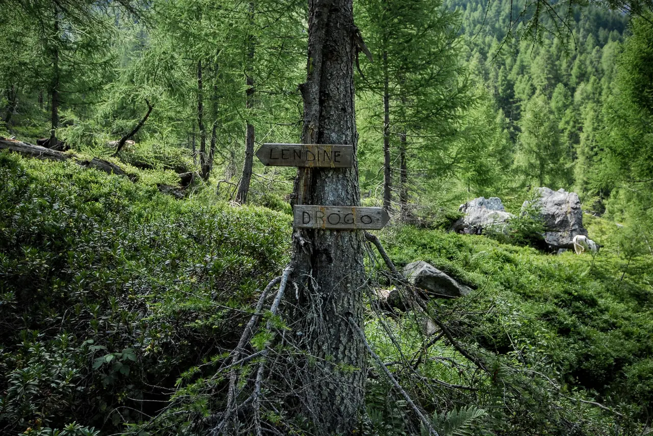
The descent follows the path to Olmo (which starts behind the isolated little church), which we then leave at about 1400 metres to follow the path signposted for "Drogo" (a wooden sign nailed to a larch). After reaching some isolated farmhouses in the woods, a headlong descent awaits us down a steep, entirely wooded bank, at the foot of which we find ourselves back at the houses of Caurga (m1294, 1 hour): a little lower down we come back to the junction for Rifugio Carlo Emilio that we took in the morning. From here we retrace the same route along the floor of the Valle del Drogo back to the car (m1070, 40 minutes).