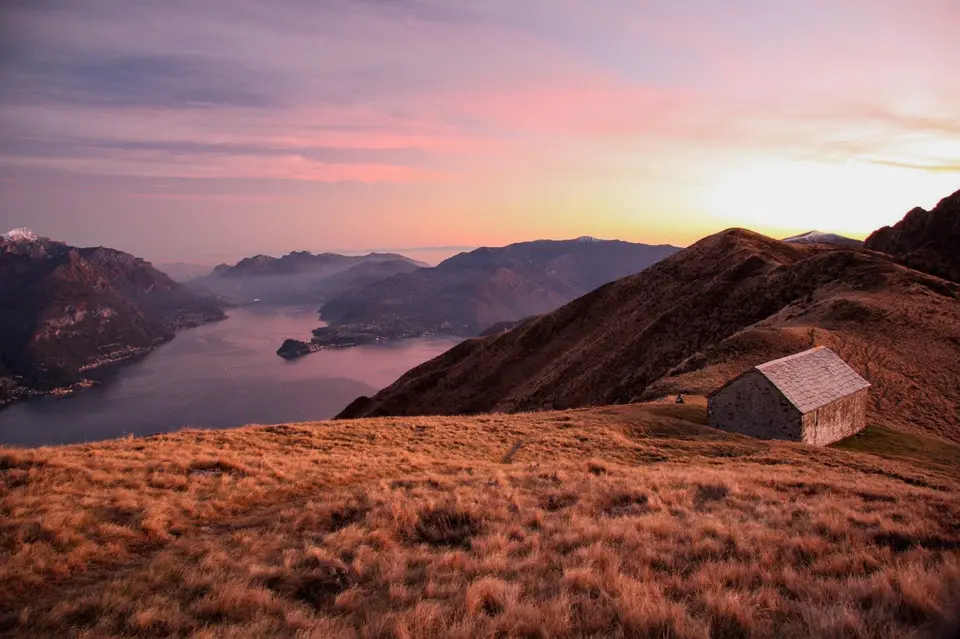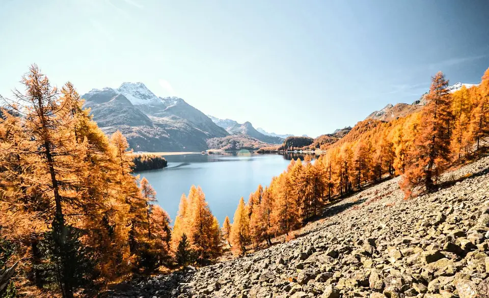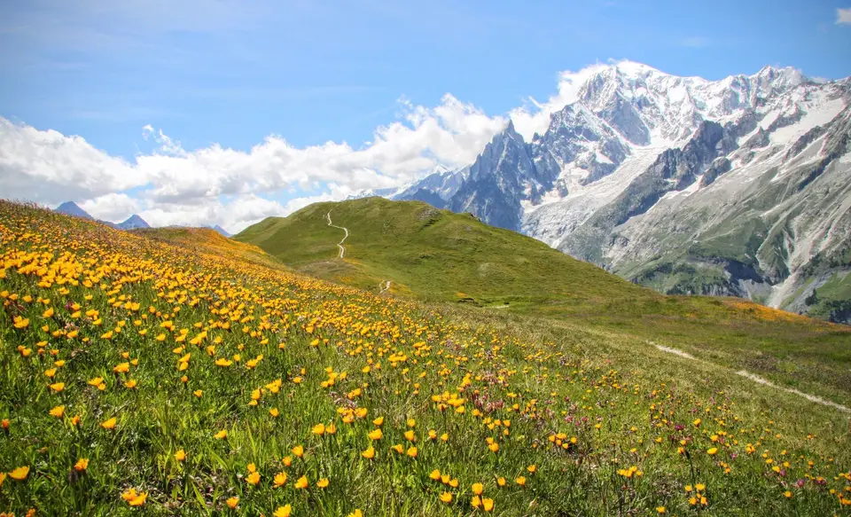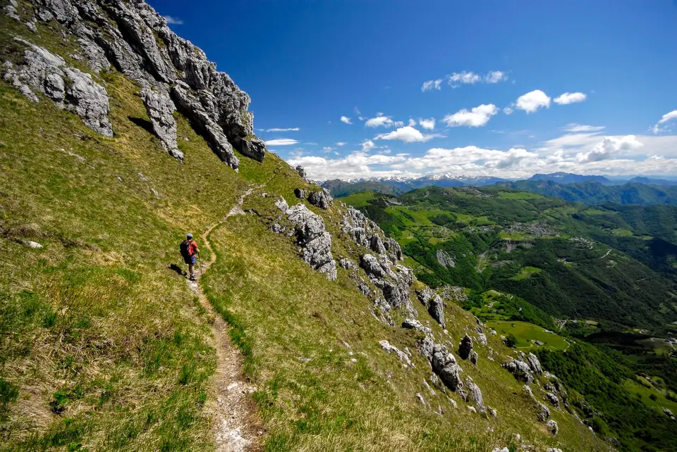
From Bergamo the Alps are close in almost every direction, and the 70-kilometre radius we have chosen for this page takes in two rather different worlds: the limestone Prealps between Lecco and Lake Como, with their ridges overlooking the water, and the more alpine valleys that climb towards the Valtellina and the Valchiavenna. Our hikes, for now, look mostly west and north, towards the lake and beyond the Orobie, rather than into the Bergamo valleys themselves, and the list reflects that honestly. Every one of them, though, is an easy day trip from Bergamo.
The closest, in spirit as well, is the Via delle Creste Orientali on the Resegone, which starts from Brumano in the Valle Imagna and follows the dolomitic towers of Lecco's emblematic mountain from the Bergamo side. From there the lake is a step away: Monte Barro, Monte Due Mani, Cornizzolo, Moregallo, the Piani Resinelli with Rifugio Rosalba and the Val d'Era above Mandello del Lario, and further west the Triangolo Lariano with Boletto, San Primo and Alpe Giumello, as well as the long ridge between Monte Grona and Bregagno. For a more alpine day there are the Rifugio Benigni loop in the upper Val Gerola, on the Valtellina side of the Orobie, the Sentiero del Tracciolino between the Val Codera and the Val dei Ratti, the Ventina glacier trail and Rifugio Gianetti in the Val Masino, with its 1,480 metres of ascent below the granite walls.
Good to know
The Orobie are the range that separates the Bergamo valleys from the Valtellina, and their southern side is covered by the Parco delle Orobie Bergamasche, established by the Lombardy region in 1989: at around 70,000 hectares it is one of the largest protected areas in Lombardy, and its peaks rise to just over 3,000 metres. In the same year, under a separate law, the Parco delle Orobie Valtellinesi was created on the opposite side, the side of the Val Gerola and Rifugio Benigni, so that today much of the range is protected from both directions.
The hikes
By our rating, highest first. Browse them as photographs, as a list with all the numbers or on the map.
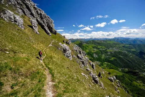 Lake ComoThe Via delle Creste Orientali on the ResegoneAn entertaining ridge path along the Dolomite-like towers of the Resegone.
- Grade
- EE
- Time
- 5:00h
- Distance
- 12km
- Ascent
- 920m
- Rating
- 8/10
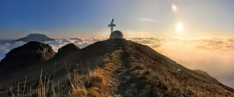 Lake ComoTo the igloo bivouac on Monte Due ManiAn easy summit facing the Grigne, ideal for a quick sunset outing from Lecco or Milan.
- Grade
- E
- Time
- 2:30h
- Distance
- 5km
- Ascent
- 500m
- Rating
- 7/10
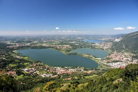 Lake ComoThe protected path on Monte BarroA slightly more entertaining alternative to the normal ascent of Monte Barro.
- Grade
- EE
- Time
- 2:00h
- Distance
- 3.5km
- Ascent
- 310m
- Rating
- 7/10
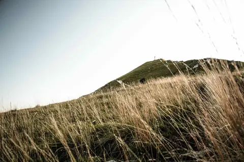 Lake ComoTo Monte Cornizzolo by way of San Pietro al MonteOne of the most panoramic summits of the Triangolo Lariano, by way of a Romanesque abbey.
- Grade
- E
- Time
- 5:00h
- Distance
- 11km
- Ascent
- 1,110m
- Rating
- 7/10
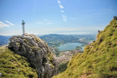 Lake ComoTo Monte Moregallo by way of Sant'IsidoroA hike to Monte Moregallo, an enjoyable hill close to Lecco and the Corni di Canzo.
- Grade
- E
- Time
- 4:30h
- Distance
- 8.5km
- Ascent
- 920m
- Rating
- 7/10
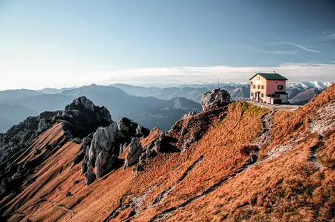 Lake ComoFrom Piani Resinelli to Rifugio RosalbaOne of the great classics of the Lombard Prealps. Dolomite-like views, an hour's drive from Milan.
- Grade
- E
- Time
- 3:00h
- Distance
- 6km
- Ascent
- 530m
- Rating
- 8/10
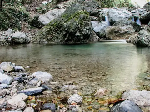 Lake ComoVia del Fiume in Val d'EraA protected path among little waterfalls and pools, in a deep, narrow valley at the foot of the Grigne.
- Grade
- EE
- Time
- 5:00h
- Distance
- 12km
- Ascent
- 710m
- Rating
- 7/10
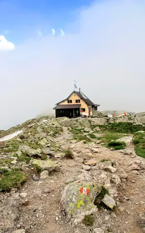 ValtellinaLoop of Rifugio Benigni and the Trona and Zancone lakesA long route in the upper Val Gerola, taking in a mountain hut, 4 lakes and a few ibex.
- Grade
- E
- Time
- 6:00h
- Distance
- 15km
- Ascent
- 970m
- Rating
- 8/10
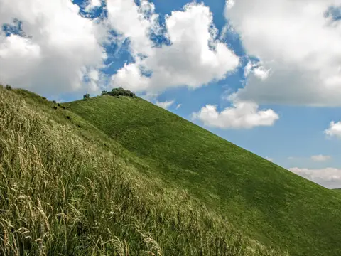 Lake ComoThe Boletto and Bolettone loopA loop along the grassy ridges of Monte Boletto and Monte Bolettone, squeezed between the plain and Lake Como
- Grade
- T
- Time
- 5:00h
- Distance
- 15km
- Ascent
- 740m
- Rating
- 7/10
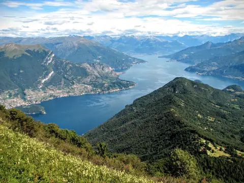 Lake ComoMonte San Primo and Rifugio Martina loopAlong the most panoramic ridge of the Triangolo Lariano, with lunch at the historic Rifugio Martina.
- Grade
- E
- Time
- 3:00h
- Distance
- 7km
- Ascent
- 550m
- Rating
- 8/10
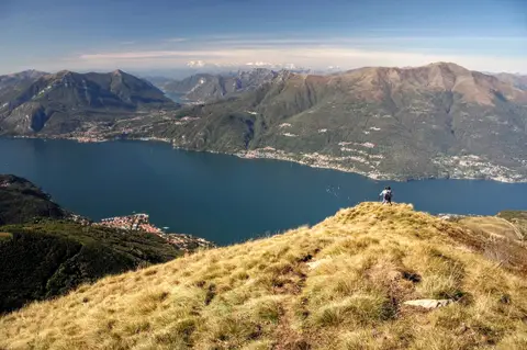 Lake ComoAlpe Giumello and Monte Croce di MuggioA short, easy hike to a panoramic summit high above Lake Como
- Grade
- T
- Time
- 1:30h
- Distance
- 3.5km
- Ascent
- 220m
- Rating
- 7/10
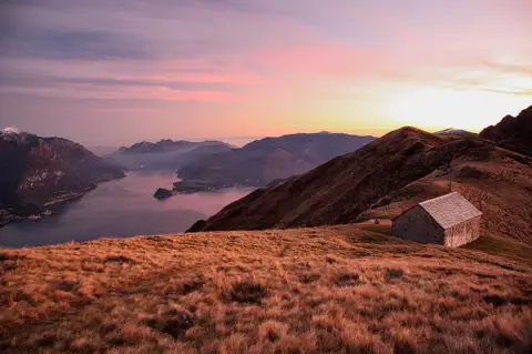 Lake ComoMonte Grona and Monte BregagnoAlong the grassy ridge between Monte Grona and Bregagno, face to face with Lake Como.
- Grade
- E
- Time
- 6:00h
- Distance
- 13km
- Ascent
- 1,120m
- Rating
- 8/10
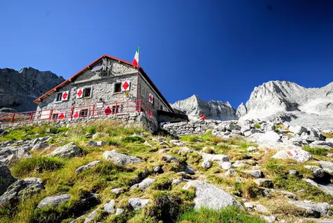 ValtellinaRifugio Gianetti in Val MasinoAn essential stop in the mountains of Lombardy, face to face with the granite giants of Val Masino.
- Grade
- E/EE
- Time
- 7:30h
- Distance
- 15km
- Ascent
- 1,480m
- Rating
- 8/10
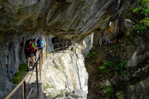 ValchiavennaThe Sentiero del TracciolinoThe Sentiero del Tracciolino: 10km of galleries and tunnels between San Giorgio (Val Codera) and the Val dei Ratti.
- Grade
- E
- Time
- 6:00h
- Distance
- 15km
- Ascent
- 1,000m
- Rating
- 8/10
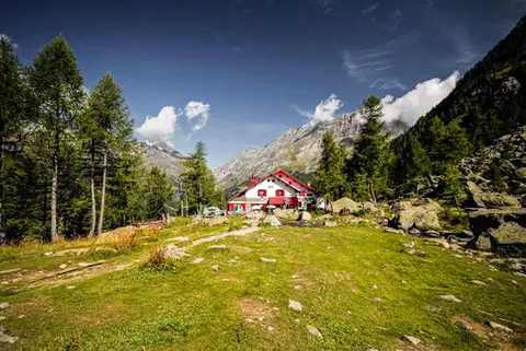 ValtellinaRifugio Gerli Porro and the Ventina Glacier TrailDiscovering Alpe Ventina, on the trail of a retreating glacier.
- Grade
- T
- Time
- 3:30h
- Distance
- 10km
- Ascent
- 700m
- Rating
- 7/10
Questions
The answers come from the hike pages listed here.
Which one is the best, in your view?
The Via delle Creste Orientali on the Resegone, From Piani Resinelli to Rifugio Rosalba, Loop of Rifugio Benigni and the Trona and Zancone lakes and others, all rated 8 out of 10.
Which one is the easiest?
Alpe Giumello and Monte Croce di Muggio: grade T, 1:30 hours of walking and 220 metres of ascent.
How long do these hikes take?
From 1:30 to 7:30 hours of walking, with ascents between 220 and 1,480 metres.
More guides
Other lists that share some of these hikes.