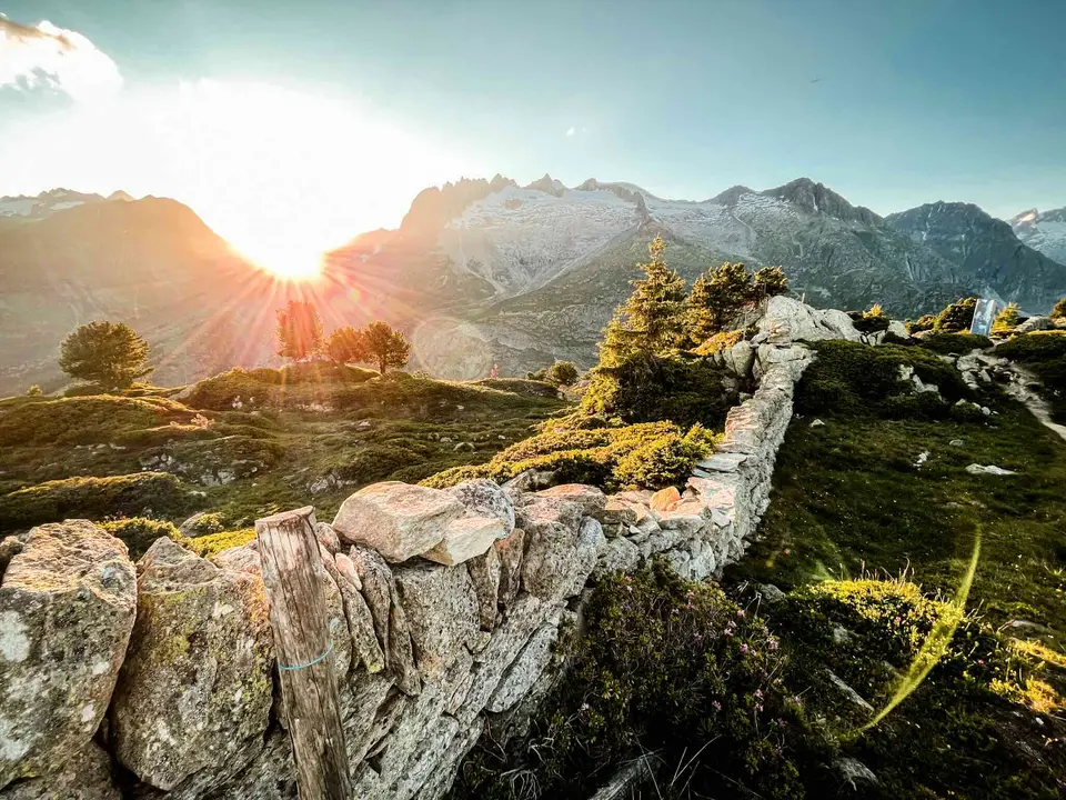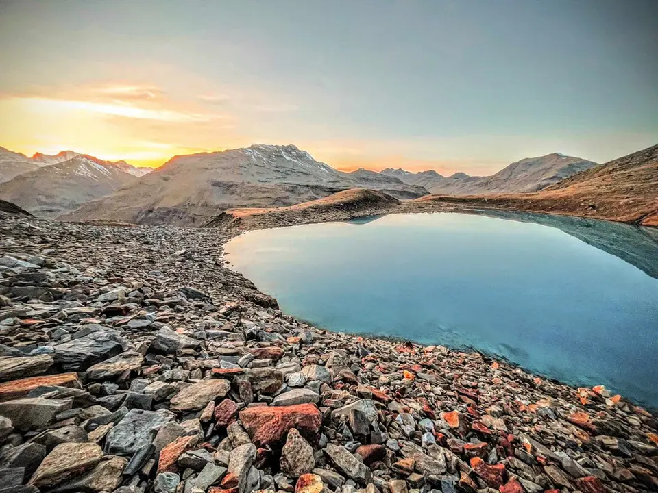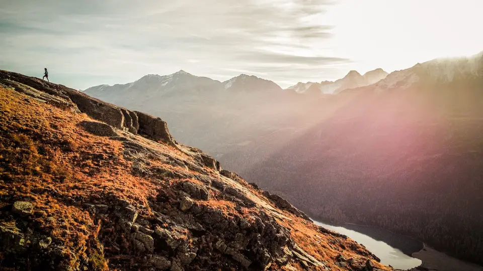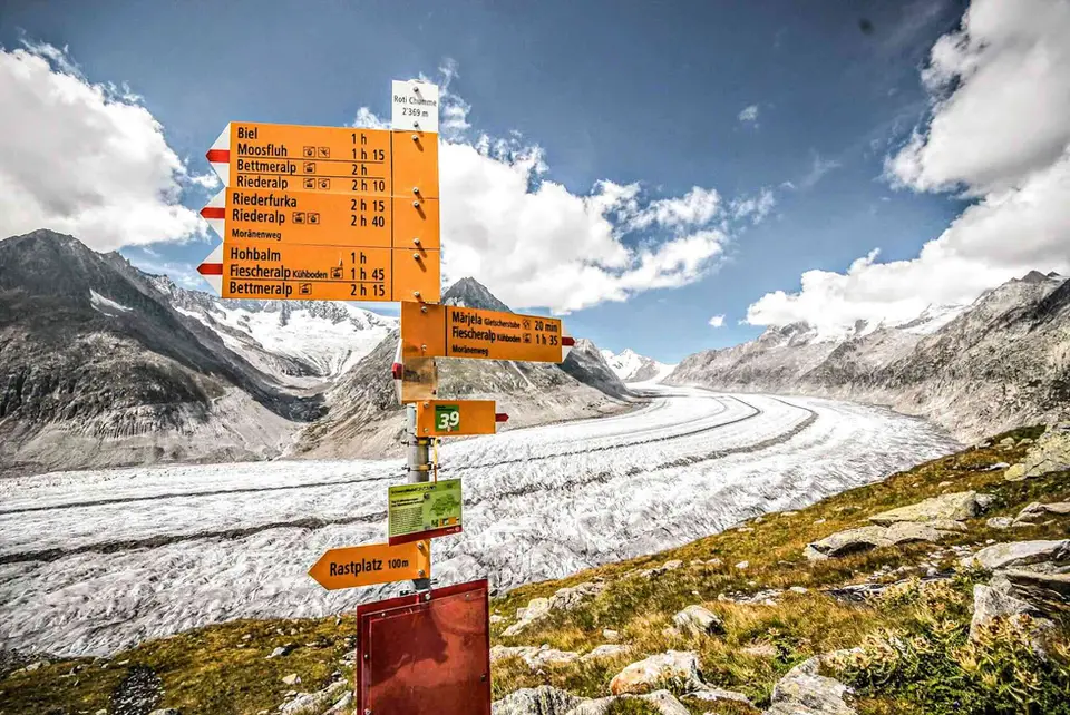
Ascent is the number that, more than any other, decides how tiring a day in the mountains will be, far more than distance: ten flat kilometres are a stroll, a thousand metres of climbing are something else entirely. On this page we have put all our hikes with no more than 500 metres of total ascent, a threshold that, in our view, anyone who walks fairly regularly can handle without special preparation. Little climbing does not necessarily mean short or dull, though, and some of these outings are among the finest we have described.
The clearest case is the Aletsch Glacier, the largest in the Alps, which you walk alongside with 460 metres of ascent in four and a half hours; the balcony path from Silvaplana to the Maloja Pass, 470 metres above the lakes of Silvaplana and Sils, is no lesser. Shorter still are Rifugio Cristina at Alpe Prabello in Valmalenco, with 230 metres, Alpe Giumello and Monte Croce di Muggio above Lake Como, Cima di Morissolo with the tunnels of the Cadorna Line above Lake Maggiore, and the circuit of the Antrona lakes. The list is completed by the Herzogstand in Bavaria, the igloo bivouac on Monte Due Mani and the protected path on Monte Barro, which is short but graded EE: a modest ascent says nothing about technical difficulty, and it is always worth checking the grade as well.
Good to know
That is why, alongside the ascent, we always give the grade on the scale of the Italian Alpine Club, CAI, whose version approved in 2021 distinguishes four levels for hiking. T, tourist, covers lanes, mule tracks and wide paths, usually not long and with no route-finding problems; E, hiking, means waymarked paths without technical passages; EE, for experienced hikers, means terrain with some difficulty, such as steep grassy slopes, scree or short rocky steps; and EEA covers equipped routes and via ferratas. A detail that is often forgotten is that the grade refers to the hardest point of the route, not to its average: an EE path can be easy for nine tenths of its length, and it is the remaining tenth that deserves your attention.
The hikes
By our rating, highest first. Browse them as photographs, as a list with all the numbers or on the map.
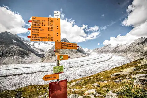 SwitzerlandAletsch Glacier (Aletschgletscher)The most classic walk to the Aletsch Glacier, the largest glacier in the Alps.
- Grade
- T
- Time
- 4:30h
- Distance
- 14km
- Ascent
- 460m
- Rating
- 10/10
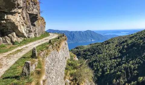 PiedmontCima di Morissolo and the Linea Cadorna fortificationsA summit dropping sheer to Lake Maggiore, just 30 minutes' walk away, with a maze of Linea Cadorna tunnels.
- Grade
- T
- Time
- 1:30h
- Distance
- 3.5km
- Ascent
- 170m
- Rating
- 8/10
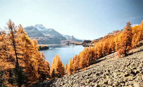 SwitzerlandThe balcony path from Silvaplana to the Maloja PassAn easy balcony path dominated by breathtaking views of Lake Sils and Lake Silvaplana, with the Bernina and the peaks of the Bregaglia in the background.
- Grade
- T
- Time
- 4:00h
- Distance
- 13km
- Ascent
- 470m
- Rating
- 8/10
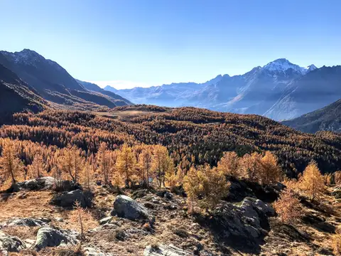 ValtellinaRifugio Cristina, a balcony over the larch woods of the ValmalencoA short walk to Rifugio Cristina at Alpe Prabello, at the foot of Pizzo Scalino.
- Grade
- T
- Time
- 2:00h
- Distance
- 6.5km
- Ascent
- 230m
- Rating
- 8/10
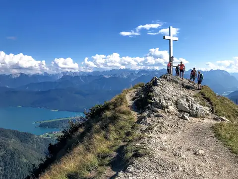 GermanyHerzogstand and Heimgarten loopTwo mountain lookouts above the German plain and the Walchensee.
- Grade
- E
- Time
- 4:30h
- Distance
- 10km
- Ascent
- 360m
- Rating
- 7/10
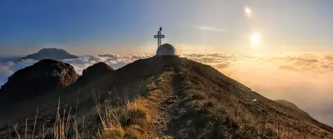 Lake ComoTo the igloo bivouac on Monte Due ManiAn easy summit facing the Grigne, ideal for a quick sunset outing from Lecco or Milan.
- Grade
- E
- Time
- 2:30h
- Distance
- 5km
- Ascent
- 500m
- Rating
- 7/10
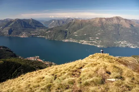 Lake ComoAlpe Giumello and Monte Croce di MuggioA short, easy hike to a panoramic summit high above Lake Como
- Grade
- T
- Time
- 1:30h
- Distance
- 3.5km
- Ascent
- 220m
- Rating
- 7/10
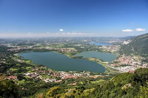 Lake ComoThe protected path on Monte BarroA slightly more entertaining alternative to the normal ascent of Monte Barro.
- Grade
- EE
- Time
- 2:00h
- Distance
- 3.5km
- Ascent
- 310m
- Rating
- 7/10
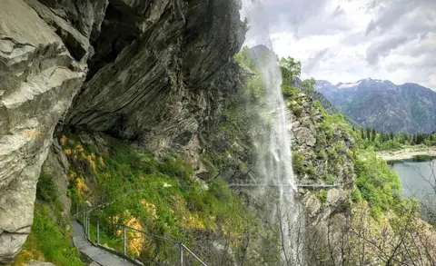 PiedmontThe Valle Antrona loop: Lago Antrona and Lago di CampliccioliA short hike around the lakes of Antrona and Campliccioli, in the lower Valle Antrona.
- Grade
- T
- Time
- 3:00h
- Distance
- 10km
- Ascent
- 400m
- Rating
- 7/10
Questions
The answers come from the hike pages listed here.
Which one is the best, in your view?
Aletsch Glacier (Aletschgletscher), which we rated 10 out of 10.
Which one is the easiest?
Cima di Morissolo and the Linea Cadorna fortifications: grade T, 1:30 hours of walking and 170 metres of ascent.
How long do these hikes take?
From 1:30 to 4:30 hours of walking, with ascents between 170 and 500 metres.
More guides
Other lists that share some of these hikes.