Lakes, glaciers and waterfalls in the Valle del Rutor
Waterfalls are the perfect destination for days in spring and early summer, when the snow melts and the streams are at their fullest. The hikes on this page pass one or more waterfalls along the way: the Cascate dell'Acquafraggia above Piuro, the Cascate del Rutor on the climb to the Rifugio Deffeyes, the Cascata del Sajont in Valle Antrona and the small cascades of the Via del Fiume in Val d'Era.
They range from a short grade T walk to a protected path for experienced hikers, so check the grade on each hike's page before choosing.
Waterfall stories and precautions
The Acquafraggia falls have a distinguished witness: Leonardo da Vinci mentions them in the Codex Atlanticus, in a note on the Mera valley describing water falling from a height measured in braccia, and several sources say he saw them during the years he served Ludovico il Moro. The area has been protected since 1983 and is recognised by the Lombardy Region as a natural monument. In the Antrona valley, by contrast, the waterscape was born of a disaster: Lago di Antrona formed after the landslide of 27 July 1642, when a huge mass of rock came down from Monte Pozzuoli, dammed the Troncone stream and buried part of the village, and since 1926 the lake has served as a reservoir for the Rovesca hydroelectric plant.
Near waterfalls the hazards are few but specific. Rock wet with spray stays slippery even when the path looks dry, and in spring the flow can change a great deal within a single day as snow melts higher up. Many alpine streams are regulated by hydroelectric works, and signs along the riverbeds warn that the water can rise suddenly when it is released upstream, so it is best not to linger in the streambed or cross anywhere other than at a bridge. The pools of the Via del Fiume and the Acquafraggia are inviting, but meltwater stays cold even in July.
The hikes
By our rating, highest first. Browse them as photographs, as a list with all the numbers or on the map.
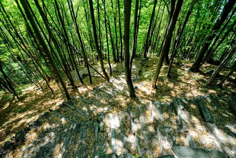 ValchiavennaAcquafraggia Falls, Savogno and DasileA loop around the Acquafraggia Falls: ladders, pools, Lilliputian villages and old mule tracks.
- Grade
- T
- Time
- 3:00h
- Distance
- 5.5km
- Ascent
- 620m
- Rating
- 8/10
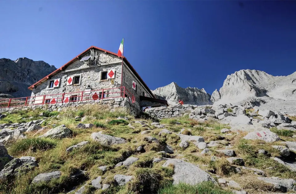
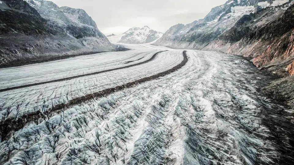
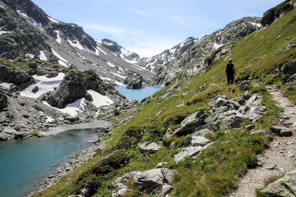
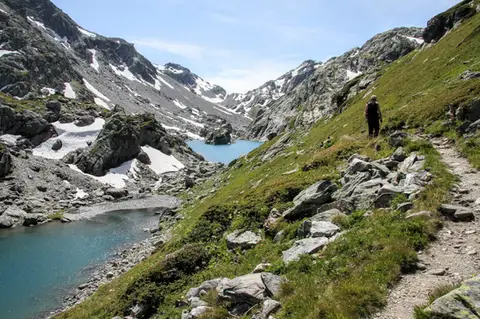 Aosta ValleyLakes, glaciers and waterfalls in the Valle del RutorA hike to Rifugio Deffeyes past the Rutor Falls, face to face with the Rutor Glacier.
- Grade
- E
- Time
- 7:30h
- Distance
- 20km
- Ascent
- 1,070m
- Rating
- 8/10
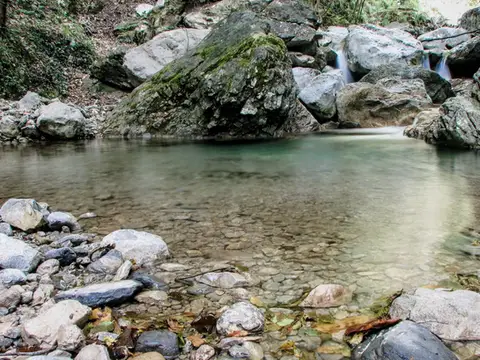 Lake ComoVia del Fiume in Val d'EraA protected path among little waterfalls and pools, in a deep, narrow valley at the foot of the Grigne.
- Grade
- EE
- Time
- 5:00h
- Distance
- 12km
- Ascent
- 710m
- Rating
- 7/10
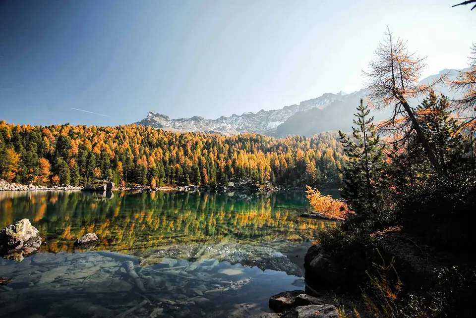
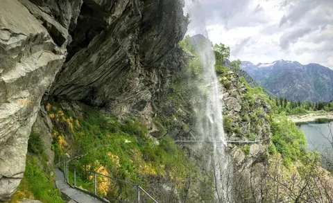 PiedmontThe Valle Antrona loop: Lago Antrona and Lago di CampliccioliA short hike around the lakes of Antrona and Campliccioli, in the lower Valle Antrona.
- Grade
- T
- Time
- 3:00h
- Distance
- 10km
- Ascent
- 400m
- Rating
- 7/10
Questions
The answers come from the hike pages listed here.
Which one is the best, in your view?
Acquafraggia Falls, Savogno and Dasile and Lakes, glaciers and waterfalls in the Valle del Rutor, all rated 8 out of 10.
Which one is the easiest?
The Valle Antrona loop: Lago Antrona and Lago di Campliccioli: grade T, 3:00 hours of walking and 400 metres of ascent.
How long do these hikes take?
From 3:00 to 7:30 hours of walking, with ascents between 400 and 1,070 metres.
More guides
Other lists that share some of these hikes.