Graubünden is the largest canton in Switzerland and, for anyone coming from Lombardy, one of the closest: from the Valchiavenna you climb into the Val Bregaglia and to the Maloja, from the Valtellina you enter the Val Poschiavo, and from Bellinzona you head up the Mesolcina. It is a land of long, high valleys, with lakes as broad as those of Sils and Silvaplana, glaciers that are still imposing and a network of paths and public transport that makes even point-to-point routes easy to organise. Our hikes here are concentrated between the Upper Engadine and the Italian-speaking valleys.
Near the Maloja are the balcony path from Silvaplana to the pass, Lake and Piz Lunghin, with views of the Bernina and Lake Sils, and the long climb to the Capanna del Forno in the Val Bregaglia; above Pontresina, the Boval hut looks out over the Morteratsch Glacier. Further east, Alp and Munt La Schera overlook the Lago di Livigno from the Swiss National Park, while to the south the Val di Campo above Poschiavo holds the Saoseo and Viola lakes, at their best between October and November, and Lago di Cama sits in an amphitheatre of peaks in the Mesolcina.
Good to know
Graubünden is also Switzerland's only officially trilingual canton, with German, Romansh and Italian. Romansh, a Romance language descended from the Latin once spoken in the Alps, is the main language of about 15 per cent of the canton's inhabitants, a share that has halved in the space of half a century, and it is still very much alive in the Engadine and the Val Müstair; Italian is spoken in the Val Bregaglia, the Val Poschiavo, the Mesolcina and the Calanca. That is why maps show names such as Piz and Munt alongside Italian ones, sometimes only a few kilometres apart.
Graubünden's other heritage runs on rails. In 2008 UNESCO added the Albula and Bernina lines of the Rhaetian Railway to its World Heritage list; they cross the Alps on viaducts such as the Landwasser and through spiral tunnels, and the Bernina line, from St. Moritz to Tirano by way of Pontresina and Poschiavo, is among the steepest adhesion railways in the world. For walkers it is also simply practical, with a stop at Morteratsch, at the mouth of the glacier's valley.
The hikes
By our rating, highest first. Browse them as photographs, as a list with all the numbers or on the map.
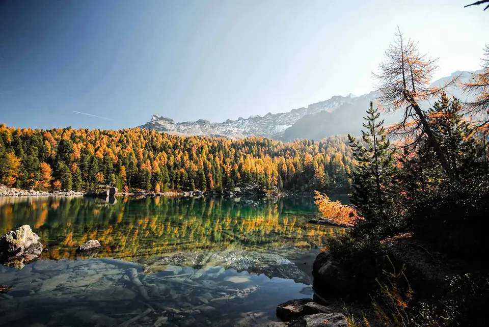
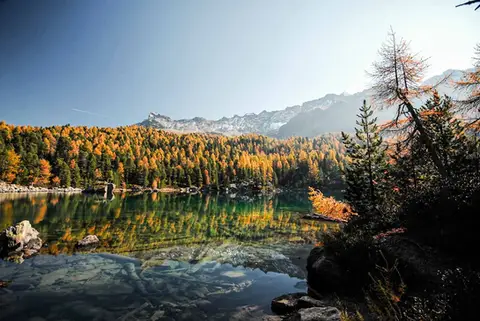 SwitzerlandLago di Saoseo and Lago Viola in the Val di CampoTwo gems of lakes in a valley dotted with alpine pastures. At its best between October and November.
- Grade
- T
- Time
- 4:30h
- Distance
- 13km
- Ascent
- 550m
- Rating
- 9/10
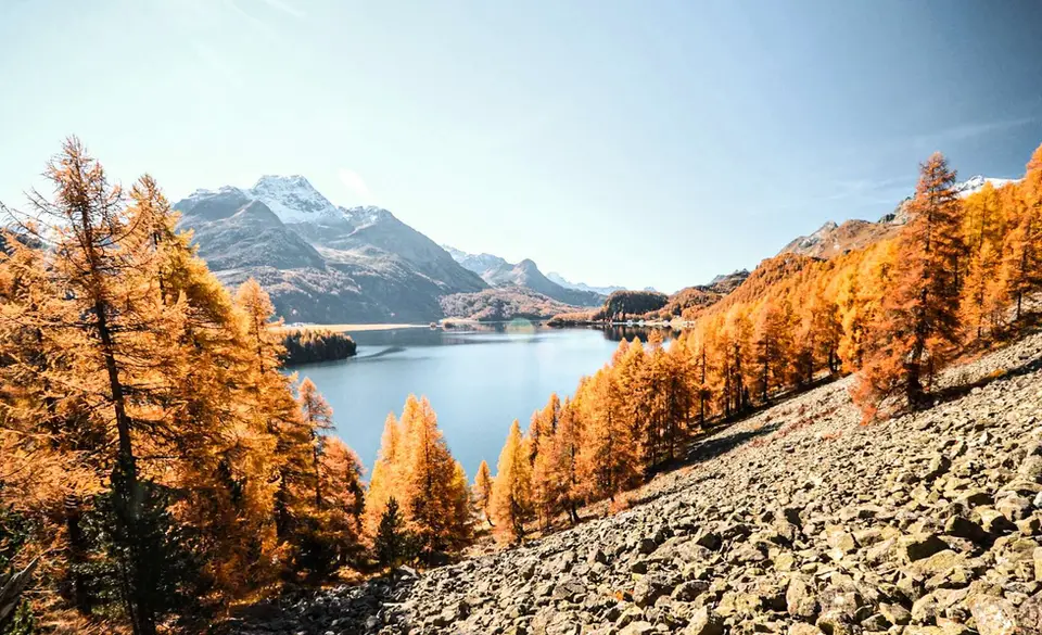
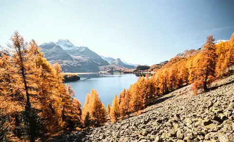 SwitzerlandThe balcony path from Silvaplana to the Maloja PassAn easy balcony path dominated by breathtaking views of Lake Sils and Lake Silvaplana, with the Bernina and the peaks of the Bregaglia in the background.
- Grade
- T
- Time
- 4:00h
- Distance
- 13km
- Ascent
- 470m
- Rating
- 8/10
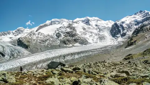 SwitzerlandCapanna Boval and the Morteratsch GlacierFace to face with the Bernina, in a commanding glacial setting.
- Grade
- E
- Time
- 5:00h
- Distance
- 14km
- Ascent
- 640m
- Rating
- 8/10
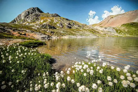 SwitzerlandLago Lunghin and Piz LunghinA lake, a peak and a pass, all sharing a breathtaking view over the Bernina group and the Lago di Sils.
- Grade
- E
- Time
- 6:30h
- Distance
- 16km
- Ascent
- 1,030m
- Rating
- 8/10
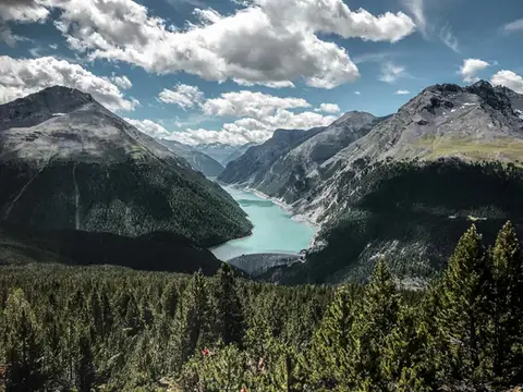 SwitzerlandAlp and Munt La Schera, lookouts over Lago di LivignoNorth American views, with the turquoise Lago di Livigno and broad valleys cloaked in firs and larches.
- Grade
- E
- Time
- 4:30h
- Distance
- 13km
- Ascent
- 810m
- Rating
- 7/10
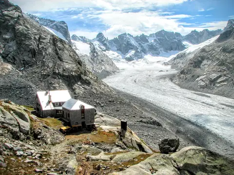 SwitzerlandCapanna del Forno and the Forno GlacierA long walk up the Valle del Forno, repaid with views worthy of Patagonia.
- Grade
- EE
- Time
- 8:00h
- Distance
- 21km
- Ascent
- 1,020m
- Rating
- 7/10
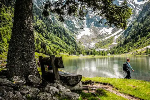 SwitzerlandLago di Cama in the Val di CamaA small Alpine lake set in an amphitheatre of peaks.
- Grade
- T
- Time
- 6:00h
- Distance
- 13km
- Ascent
- 940m
- Rating
- 7/10
Questions
The answers come from the hike pages listed here.
Which one is the best, in your view?
Lago di Saoseo and Lago Viola in the Val di Campo, which we rated 9 out of 10.
Which one is the easiest?
The balcony path from Silvaplana to the Maloja Pass: grade T, 4:00 hours of walking and 470 metres of ascent.
How long do these hikes take?
From 4:00 to 8:00 hours of walking, with ascents between 470 and 1,030 metres.
More guides
Other lists that share some of these hikes.