Monte Grona and Monte Bregagno
Lombardy is the region we know best, and it shows: almost half of the hikes on Hikes of the World start here, split between the Prealps of Lake Como, an hour from Milan, and the higher, wilder valleys of Valchiavenna and Valtellina, which lead up to the glaciers of the Bernina and the granite of Val Masino.
On this page you will find them all together, sorted by score, while the pages for each valley and the lists of mountain huts and lakes in Lombardy help you narrow the choice.
Good to know about Lombardy's mountains
The Lombard hikes on this page range from grade T to EE, and it is worth knowing what the CAI grades mean in practice. T stands for lanes, mule tracks and easy paths with no route-finding problems; E for waymarked trails with no particular technical difficulty; EE for routes for experienced hikers, where there may be exposed sections, steep slopes or snowfields to cross, and where you need sure footing and a head for heights. The grade always refers to the hardest section of the route, so an EE hike such as the Resegone's east ridges can be easy for three quarters of the way and demanding precisely where you are most tired.
Almost all the Lombard mountain huts along these routes are run, in the months they are open, by a warden who also handles bookings, and to stay the night the CAI's rules ask you to use your own sleeping-bag liner. When you book, the warden may ask for a deposit, which under the CAI tariff cannot exceed the cost of the night, and many huts can now also be booked through the CAI's online platform. Opening dates vary from hut to hut and from year to year, so before counting on a hot meal it is best to phone ahead.
The hikes
By our rating, highest first. Browse them as photographs, as a list with all the numbers or on the map.
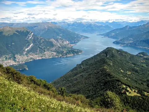 Lake ComoMonte San Primo and Rifugio Martina loopAlong the most panoramic ridge of the Triangolo Lariano, with lunch at the historic Rifugio Martina.
- Grade
- E
- Time
- 3:00h
- Distance
- 7km
- Ascent
- 550m
- Rating
- 8/10
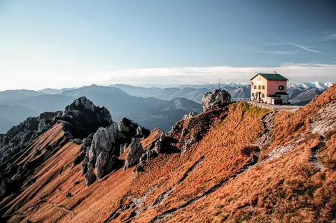 Lake ComoFrom Piani Resinelli to Rifugio RosalbaOne of the great classics of the Lombard Prealps. Dolomite-like views, an hour's drive from Milan.
- Grade
- E
- Time
- 3:00h
- Distance
- 6km
- Ascent
- 530m
- Rating
- 8/10
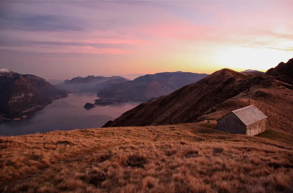
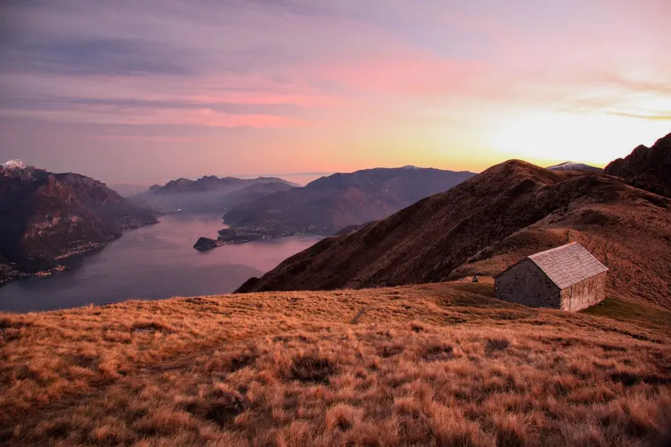
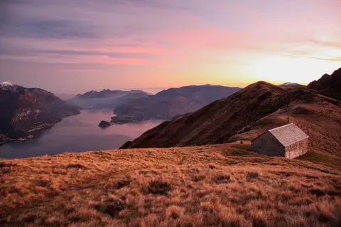 Lake ComoMonte Grona and Monte BregagnoAlong the grassy ridge between Monte Grona and Bregagno, face to face with Lake Como.
- Grade
- E
- Time
- 6:00h
- Distance
- 13km
- Ascent
- 1,120m
- Rating
- 8/10
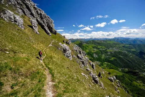 Lake ComoThe Via delle Creste Orientali on the ResegoneAn entertaining ridge path along the Dolomite-like towers of the Resegone.
- Grade
- EE
- Time
- 5:00h
- Distance
- 12km
- Ascent
- 920m
- Rating
- 8/10
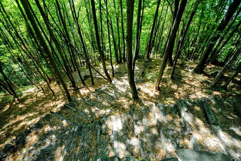 ValchiavennaAcquafraggia Falls, Savogno and DasileA loop around the Acquafraggia Falls: ladders, pools, Lilliputian villages and old mule tracks.
- Grade
- T
- Time
- 3:00h
- Distance
- 5.5km
- Ascent
- 620m
- Rating
- 8/10
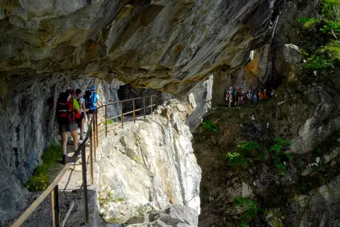 ValchiavennaThe Sentiero del TracciolinoThe Sentiero del Tracciolino: 10km of galleries and tunnels between San Giorgio (Val Codera) and the Val dei Ratti.
- Grade
- E
- Time
- 6:00h
- Distance
- 15km
- Ascent
- 1,000m
- Rating
- 8/10
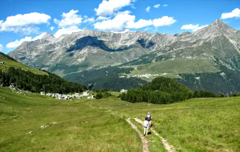 ValchiavennaThe Lago Bianco loop on the Pian dei CavalliOn the balcony of the Valle Spluga: from Starleggia to the Pian dei Cavalli, the Lago Bianco and Monte Bardan.
- Grade
- E
- Time
- 4:00h
- Distance
- 10km
- Ascent
- 830m
- Rating
- 8/10
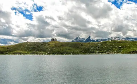 ValchiavennaRifugio Bertacchi at Lago d'EmetTo Lago d'Emet, an almost perfectly circular little lake overlooking the Valle Spluga.
- Grade
- E
- Time
- 5:00h
- Distance
- 11km
- Ascent
- 990m
- Rating
- 8/10
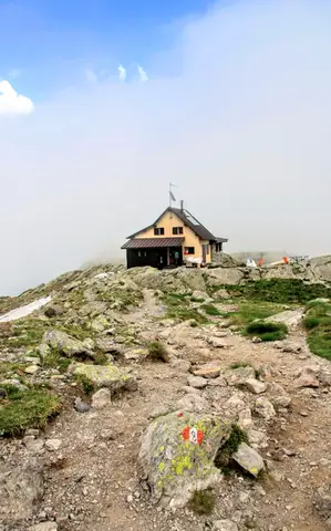 ValtellinaLoop of Rifugio Benigni and the Trona and Zancone lakesA long route in the upper Val Gerola, taking in a mountain hut, 4 lakes and a few ibex.
- Grade
- E
- Time
- 6:00h
- Distance
- 15km
- Ascent
- 970m
- Rating
- 8/10
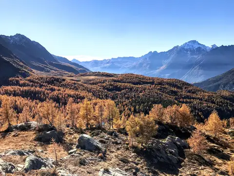 ValtellinaRifugio Cristina, a balcony over the larch woods of the ValmalencoA short walk to Rifugio Cristina at Alpe Prabello, at the foot of Pizzo Scalino.
- Grade
- T
- Time
- 2:00h
- Distance
- 6.5km
- Ascent
- 230m
- Rating
- 8/10
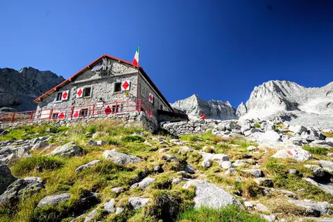 ValtellinaRifugio Gianetti in Val MasinoAn essential stop in the mountains of Lombardy, face to face with the granite giants of Val Masino.
- Grade
- E/EE
- Time
- 7:30h
- Distance
- 15km
- Ascent
- 1,480m
- Rating
- 8/10
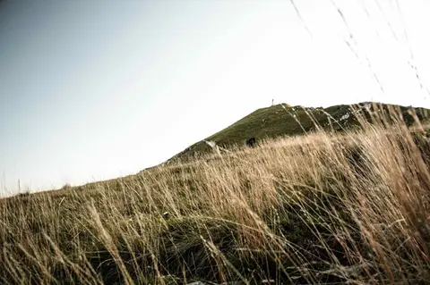 Lake ComoTo Monte Cornizzolo by way of San Pietro al MonteOne of the most panoramic summits of the Triangolo Lariano, by way of a Romanesque abbey.
- Grade
- E
- Time
- 5:00h
- Distance
- 11km
- Ascent
- 1,110m
- Rating
- 7/10
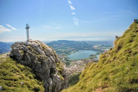 Lake ComoTo Monte Moregallo by way of Sant'IsidoroA hike to Monte Moregallo, an enjoyable hill close to Lecco and the Corni di Canzo.
- Grade
- E
- Time
- 4:30h
- Distance
- 8.5km
- Ascent
- 920m
- Rating
- 7/10
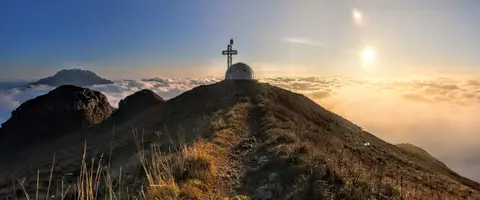 Lake ComoTo the igloo bivouac on Monte Due ManiAn easy summit facing the Grigne, ideal for a quick sunset outing from Lecco or Milan.
- Grade
- E
- Time
- 2:30h
- Distance
- 5km
- Ascent
- 500m
- Rating
- 7/10
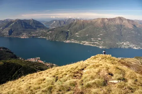 Lake ComoAlpe Giumello and Monte Croce di MuggioA short, easy hike to a panoramic summit high above Lake Como
- Grade
- T
- Time
- 1:30h
- Distance
- 3.5km
- Ascent
- 220m
- Rating
- 7/10
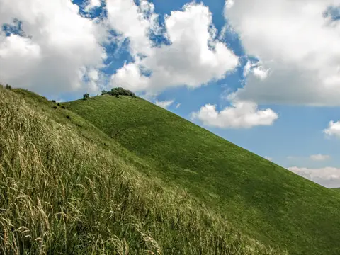 Lake ComoThe Boletto and Bolettone loopA loop along the grassy ridges of Monte Boletto and Monte Bolettone, squeezed between the plain and Lake Como
- Grade
- T
- Time
- 5:00h
- Distance
- 15km
- Ascent
- 740m
- Rating
- 7/10
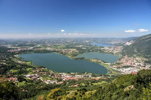 Lake ComoThe protected path on Monte BarroA slightly more entertaining alternative to the normal ascent of Monte Barro.
- Grade
- EE
- Time
- 2:00h
- Distance
- 3.5km
- Ascent
- 310m
- Rating
- 7/10
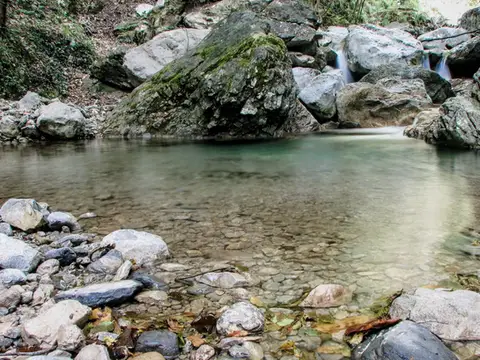 Lake ComoVia del Fiume in Val d'EraA protected path among little waterfalls and pools, in a deep, narrow valley at the foot of the Grigne.
- Grade
- EE
- Time
- 5:00h
- Distance
- 12km
- Ascent
- 710m
- Rating
- 7/10
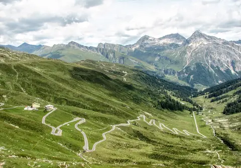 ValchiavennaBivacco del Suretta from the Passo dello SplugaA panoramic loop straddling the Passo dello Spluga, culminating at the Bivacco del Suretta
- Grade
- E
- Time
- 5:00h
- Distance
- 11km
- Ascent
- 850m
- Rating
- 7/10
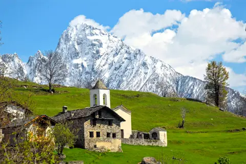 ValchiavennaDaloo and Lagunc, balconies over the ValchiavennaA mule track, a little white church and a unique view over the Piana di Chiavenna.
- Grade
- T
- Time
- 3:00h
- Distance
- 6km
- Ascent
- 650m
- Rating
- 7/10
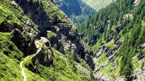 ValchiavennaThe Sentiero del Cardinello (or Via Mala)Carved into the rock of a narrow gorge, the Sentiero del Cardinello is one of the oldest and most spectacular stretches of the Via Spluga.
- Grade
- E
- Time
- 4:30h
- Distance
- 12km
- Ascent
- 660m
- Rating
- 7/10
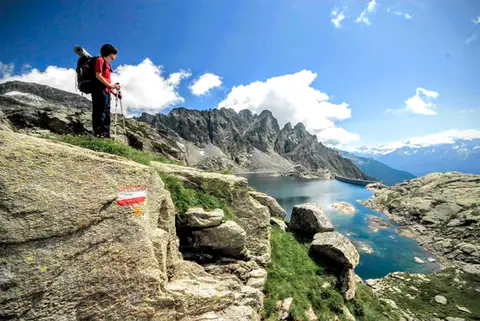 ValchiavennaTour from Lago del Truzzo to Alpe LendineA long loop that takes in all the most magical spots of the remote Valle del Drogo, a side valley of the Valle Spluga.
- Grade
- EE
- Time
- 7:00h
- Distance
- 17km
- Ascent
- 1,190m
- Rating
- 7/10
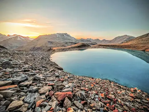 Valtellina · SwitzerlandLago Vago, the blue pearl of LivignoA short hike to Lago Vago, a Caribbean-looking tarn so blue it seems fake.
- Grade
- E
- Time
- 3:00h
- Distance
- 6km
- Ascent
- 520m
- Rating
- 7/10
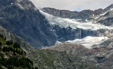 ValtellinaRifugio Bignami and the Marson Glacier Trail at the FellariaIn the upper Valmalenco, face to face with the Fellaria Glacier.
- Grade
- E
- Time
- 5:30h
- Distance
- 15km
- Ascent
- 670m
- Rating
- 7/10
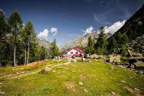 ValtellinaRifugio Gerli Porro and the Ventina Glacier TrailDiscovering Alpe Ventina, on the trail of a retreating glacier.
- Grade
- T
- Time
- 3:30h
- Distance
- 10km
- Ascent
- 700m
- Rating
- 7/10
Questions
The answers come from the hike pages listed here.
Which one is the best, in your view?
Monte San Primo and Rifugio Martina loop, From Piani Resinelli to Rifugio Rosalba, Monte Grona and Monte Bregagno and others, all rated 8 out of 10.
Which one is the easiest?
Alpe Giumello and Monte Croce di Muggio: grade T, 1:30 hours of walking and 220 metres of ascent.
How long do these hikes take?
From 1:30 to 7:30 hours of walking, with ascents between 220 and 1,480 metres.
More guides
Other lists that share some of these hikes.